Elevation map of Cardston County, AB, Canada
Location: Canada > Alberta > Division No. 3 >
Longitude: -113.01507
Latitude: 49.0954482
Elevation: 1316m / 4318feet
Barometric Pressure: 86KPa
Elevation Map:
Satellite Map:
Related Photos:

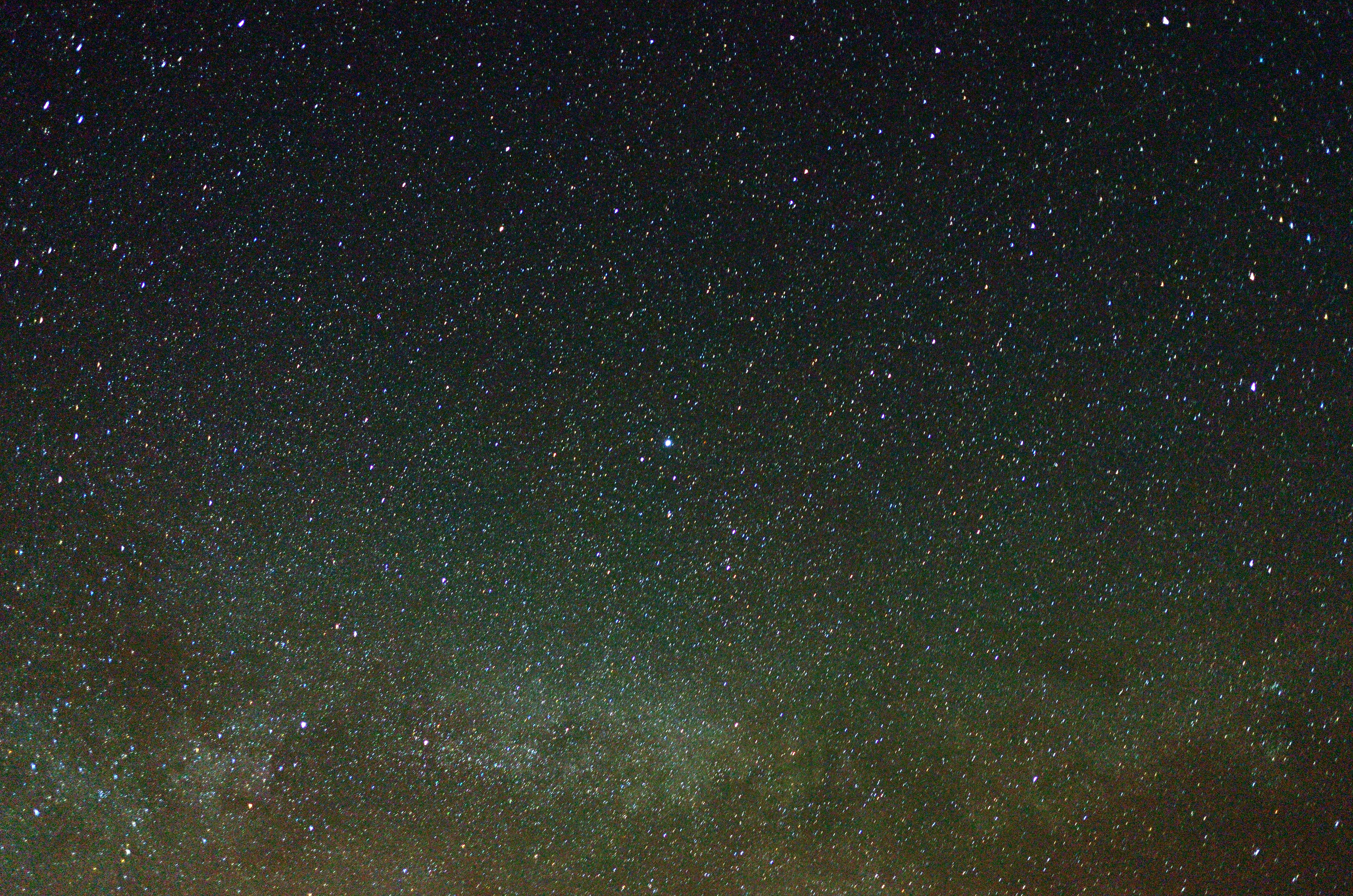
view of the Milky Way
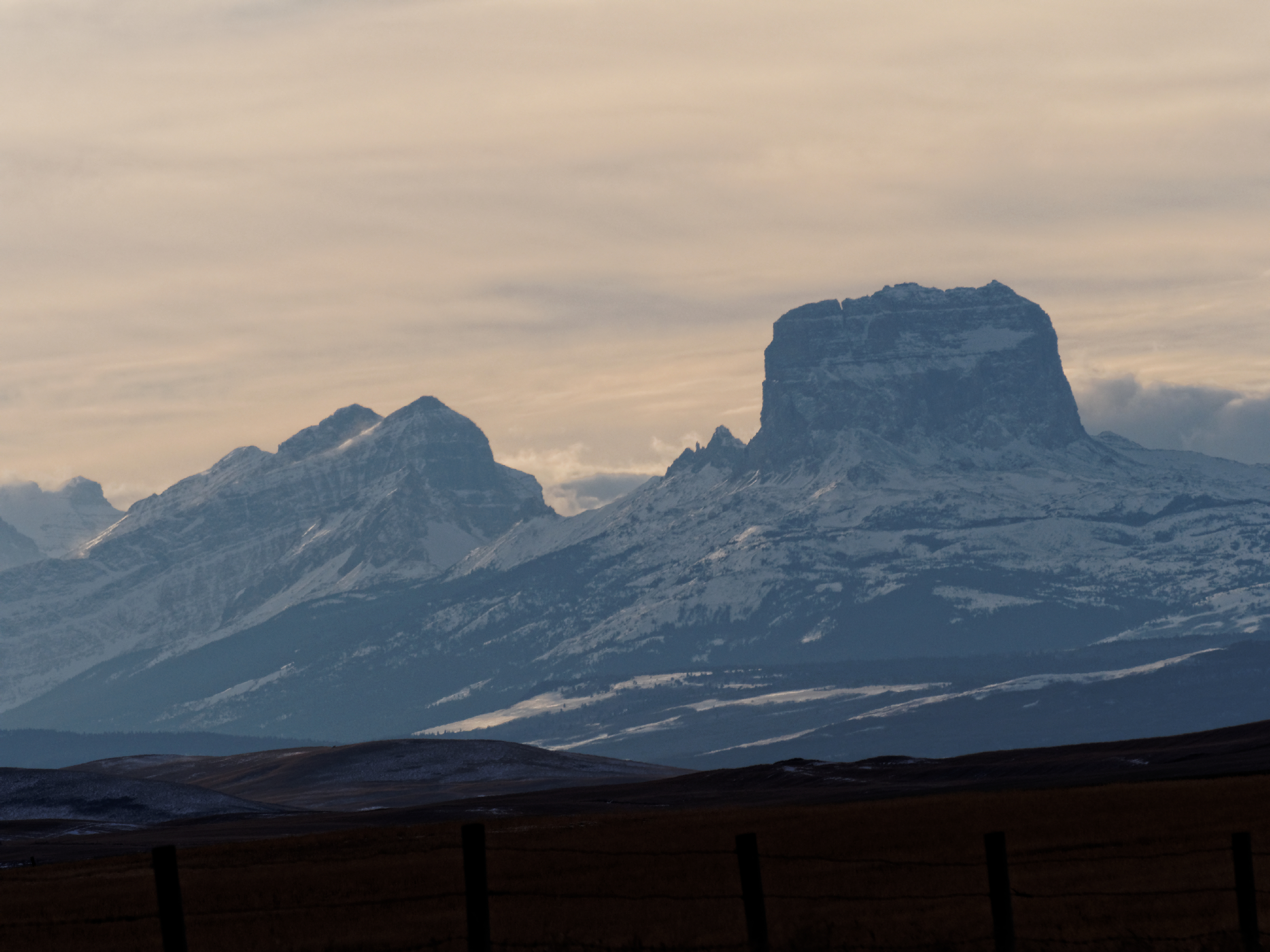
PB090346 Gable Mountain & Chief Mountain

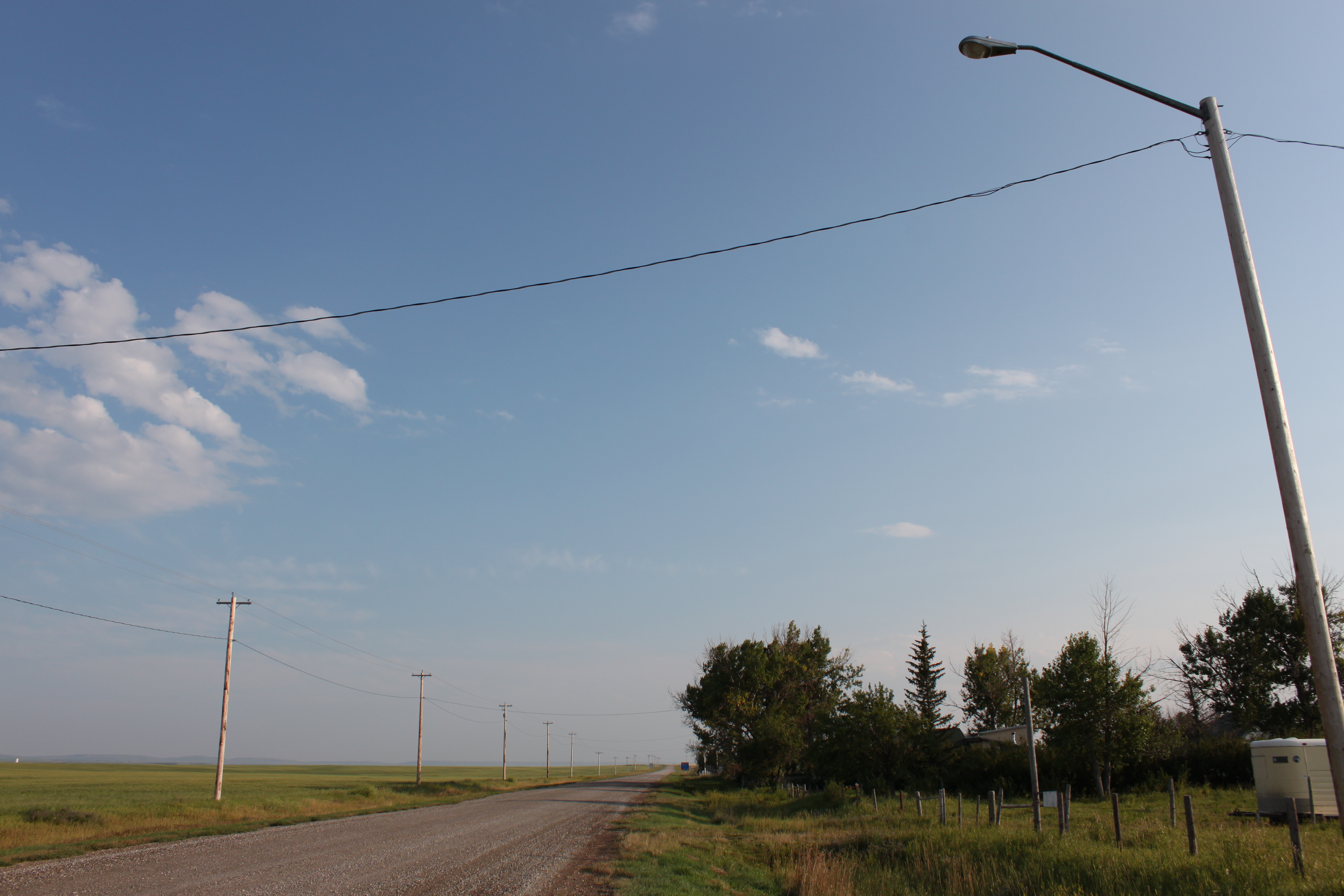
Alberta Prairie Sunset
DSC_0171 Vega in center above the Milky Way
Main St. (New Townsite) Woolford, Alta.
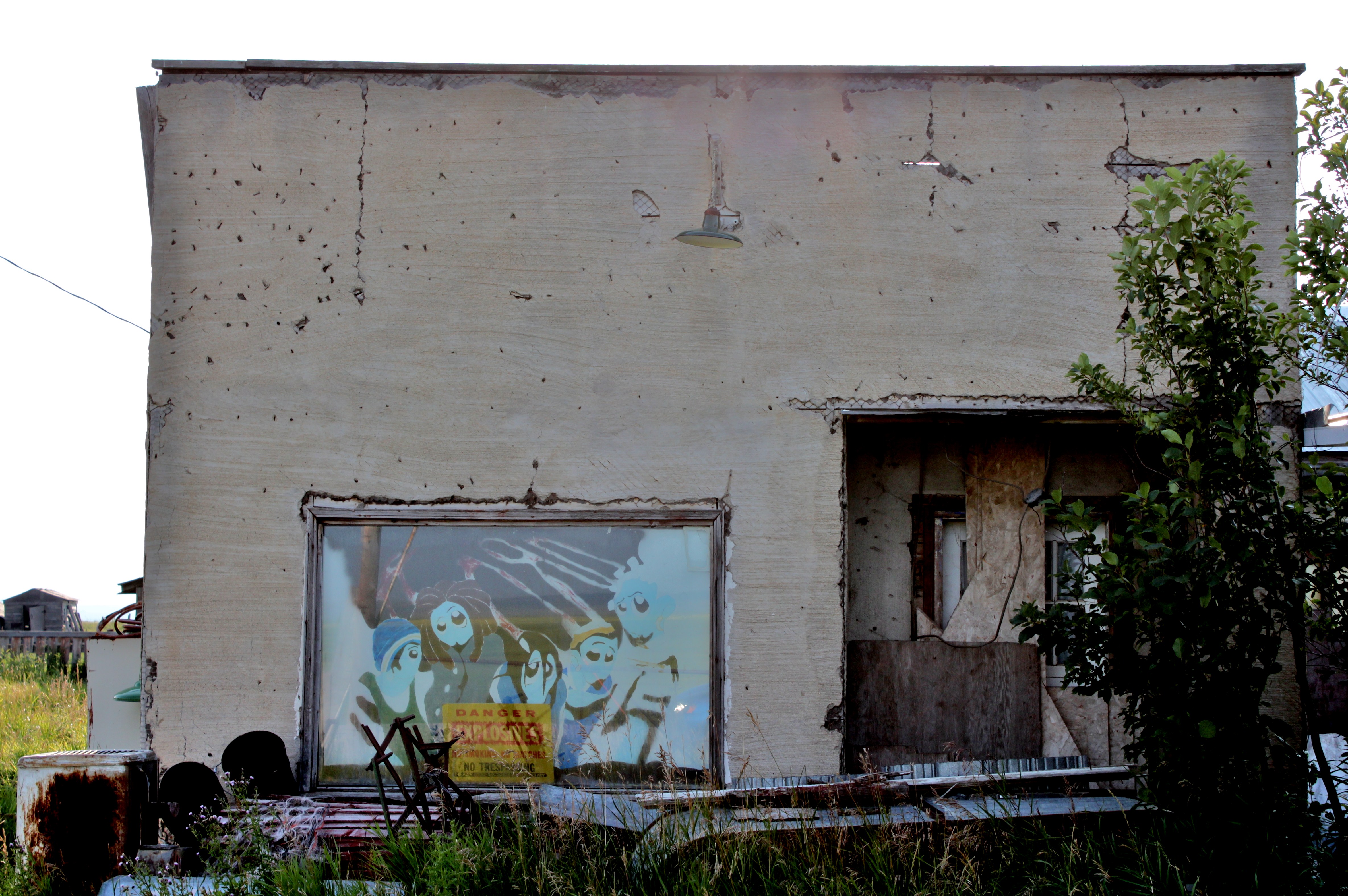
Main St. (New townsite) Woolford, Alta.
Topographic Map of Cardston County, AB, Canada
Find elevation by address:

Places in Cardston County, AB, Canada:
Places near Cardston County, AB, Canada:
Del Bonita
Cardston
222 9 St W
Carway
5023 Us-89
Waterton-glacier International Peace Park
Browning, MT, USA
Saint Mary Ridge
Babb
Many Glacier Lodge
Many Glacier Road
Lower Saint Mary Lake
North Browning
49 Last Star Rd, Browning, MT, USA
St.marys, Glacier National Park
Chalk Butte Rd, Cut Bank, MT, USA
Little Flower Parish
Browning
St. Mary Glacier Park Koa
Saint Mary
Recent Searches:
- Elevation of Corso Fratelli Cairoli, 35, Macerata MC, Italy
- Elevation of Tallevast Rd, Sarasota, FL, USA
- Elevation of 4th St E, Sonoma, CA, USA
- Elevation of Black Hollow Rd, Pennsdale, PA, USA
- Elevation of Oakland Ave, Williamsport, PA, USA
- Elevation of Pedrógão Grande, Portugal
- Elevation of Klee Dr, Martinsburg, WV, USA
- Elevation of Via Roma, Pieranica CR, Italy
- Elevation of Tavkvetili Mountain, Georgia
- Elevation of Hartfords Bluff Cir, Mt Pleasant, SC, USA