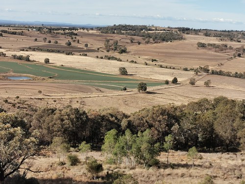
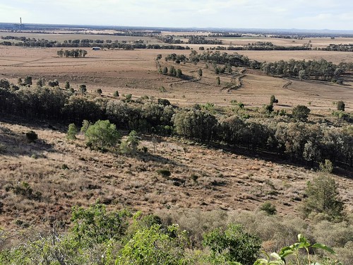
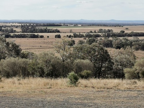
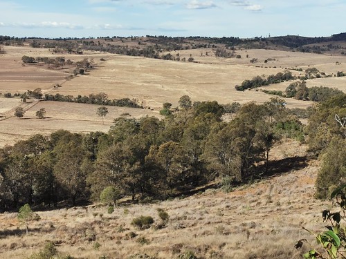
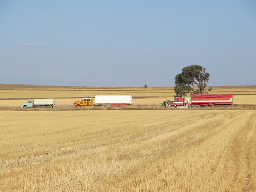
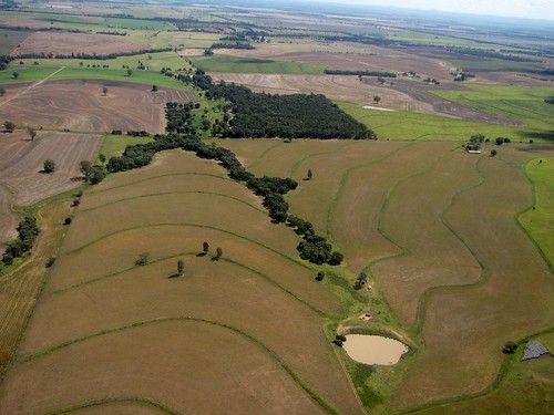
Elevation of Captains Mountain QLD, Australia
Location: Australia > Queensland > Toowoomba Regional >
Longitude: 151.162531
Latitude: -27.939483
Elevation: 457m / 1499feet
Barometric Pressure: 96KPa
Related Photos:
Topographic Map of Captains Mountain QLD, Australia
Find elevation by address:

Places near Captains Mountain QLD, Australia:
Millmerran
5 Clare St
431 Moffatt Reserve Road
Grays Gate
56 Hamblin Rd
Toowoomba Regional
Leyburn Forestry Road
1180 Big Hill Rd
Thanes Creek
509 Biddeston Linthorpe Rd
Aubigny
1754 Toowoomba Karara Rd
503 Oakey Pittsworth Rd
Seymours Road
Westbrook
11 Kennard St
6 Kennard St
232 E Drews Rd
562 Drayton Wellcamp Rd
Wellcamp
Recent Searches:
- Elevation of Corso Fratelli Cairoli, 35, Macerata MC, Italy
- Elevation of Tallevast Rd, Sarasota, FL, USA
- Elevation of 4th St E, Sonoma, CA, USA
- Elevation of Black Hollow Rd, Pennsdale, PA, USA
- Elevation of Oakland Ave, Williamsport, PA, USA
- Elevation of Pedrógão Grande, Portugal
- Elevation of Klee Dr, Martinsburg, WV, USA
- Elevation of Via Roma, Pieranica CR, Italy
- Elevation of Tavkvetili Mountain, Georgia
- Elevation of Hartfords Bluff Cir, Mt Pleasant, SC, USA
