Elevation of Capron, VA, USA
Location: United States > Virginia > Southampton County >
Longitude: -77.125505
Latitude: 36.7450007
Elevation: 15m / 49feet
Barometric Pressure: 101KPa
Elevation Map:
Satellite Map:
Related Photos:

Rebecca Vaughan House

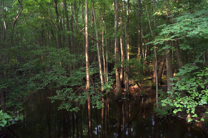
view from inside a Nyssa aquatica

Chub Sandhill

DS2_5418-13

Assamoosic Swamp
Assamoosic Swamp

Nottoway River - Cary's Bridge Landing(1)

Nottoway River (11)
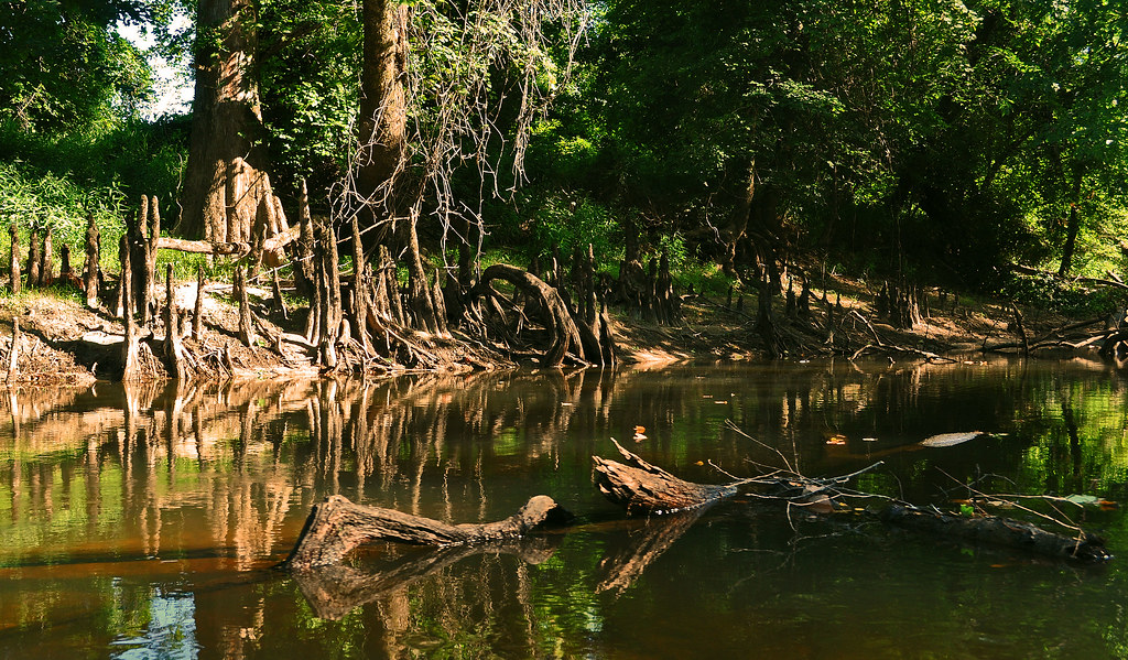
Nottoway River (9)

Cypress Bridge Swamp

Nyssa aquatica
Topographic Map of Capron, VA, USA
Find elevation by address:

Places in Capron, VA, USA:
Places near Capron, VA, USA:
Courtland
Southampton County
Sedley, VA, USA
Sedley
Johnsons Mill Rd, Sedley, VA, USA
21339 Storys Station Rd
Shady Brook Trail, Courtland, VA, USA
25128 Delaware Rd
Newsoms
State Rte, Waverly, VA, USA
Drewryville
300 Robinhood Rd
Rivers Dam
Yale
Drewryville
Sussex County
Franklin, VA, USA
15051 Appleton Rd
Franklin
N Main St, Franklin, VA, USA
Recent Searches:
- Elevation of Corso Fratelli Cairoli, 35, Macerata MC, Italy
- Elevation of Tallevast Rd, Sarasota, FL, USA
- Elevation of 4th St E, Sonoma, CA, USA
- Elevation of Black Hollow Rd, Pennsdale, PA, USA
- Elevation of Oakland Ave, Williamsport, PA, USA
- Elevation of Pedrógão Grande, Portugal
- Elevation of Klee Dr, Martinsburg, WV, USA
- Elevation of Via Roma, Pieranica CR, Italy
- Elevation of Tavkvetili Mountain, Georgia
- Elevation of Hartfords Bluff Cir, Mt Pleasant, SC, USA