Elevation of Cape Scott, British Columbia, Canada

Location: Canada > British Columbia > Mount Waddington >

Longitude: -128.41666

Latitude: 50.7833333

Elevation: 0m / 0feet

Barometric Pressure: 101KPa

Elevation Map:

elevation map of Cape Scott, British Columbia, Canada

Satellite Map:

Satellite map of Cape Scott, British Columbia, Canada

Related Photos:

sanjosef sanjosefbay sanjo capescottprovincialpark capescott provincialpark park britishcolumbia canada vancouverisland hike trail outdoor beach shore shoreline coast coastline bay sea pacific pacificocean remote camping wideangle 1635mmf4ged 1635mm 1635mmf4vr d750 nikon nikkor ngc nature nationalgeographic sand vista view picturesque
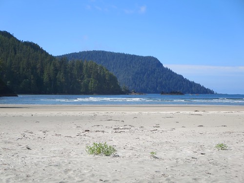
San Josef Bay, Vancouver Island, British Columbia
cookies outdoors bc hiking britishcolumbia pop chips vancouverisland soda wilderness capescott chocolatebars temperaterainforest backbacking northernvancouverisland coastalrainforest explorebc supernaturalbc capescottlighthouse capescottprovinicalpark
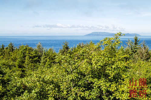
View from the Cape Scot Light!
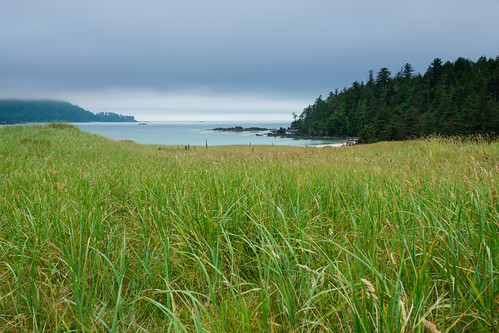
View from our camp, second day at Nels Bight, lots of rain, Cape Scott Provincial Park, Vancouver Island, BC
canada britishcolumbia vancouverisland capescottprovincialpark sanjosefbay
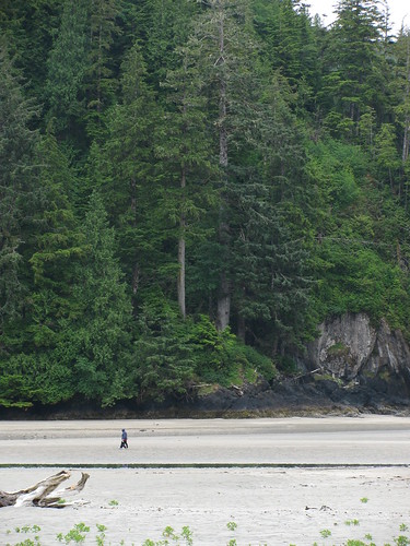
View of the beach
san josef bay cape scott provincial park vancouver island british columbia canada
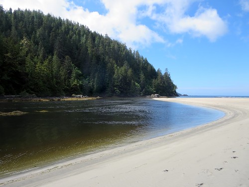
San Josef Bay
san josef river bay cape scott provincial park vancouver island british columbia canada
San Josef River
beach britishcolumbia capescott fog landscape sanjosefbay vancouverisland
Audience of Rocks
vancouverisland porthardy capescottprovincialpark sanjosefbay stacks canada britishcolumbia provincialpark seastacks sea tree rock landscape nature water beach plant path outdoors sky wood dramatic peaceful unique naturallandscape travel noperson shoreline treestump outcrop coast walking
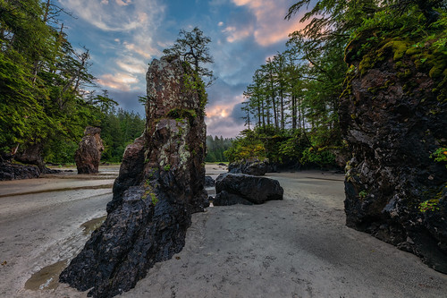
Sea Stacks at San Josef Bay
beach san josef bay cape scott provincial park vancouver island british columbia canada
Long White Beach
camping canada beach bc hiking britishcolumbia vancouverisland capescott capescottprovincialpark bryntassellca bryntassell
Guise Bay
sanjosefbay sunset vancouverisland beach britishcolumbia landscape
San Josef at Day's End
timber learnfromexif vancouverisland spit canada northcoasttrail rocks provia trees logs xt2 shoreline mikofox pacific wood driftwood summer beach gravel ocean fujifilmxt2 showyourexif landscape capescott xf18135mmf3556rlmoiswr
Picturesque Spits & Sheltered Bays
learnfromexif vancouverisland canada northcoasttrail rocks provia xt2 shoreline mikofox pacific wood driftwood summer beach gravel ocean fujifilmxt2 showyourexif landscape capescott xf18135mmf3556rlmoiswr
Surviving Pacific Storms Requires a Solid Foundation
seascape blackwhite britishcolumbia vancouverisland seastacks blackwhitephotos sanjosefbay
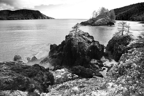
Land's Last Steps to the Sea
sunset sky landscape outdoors solitude hiking britishcolumbia beaches wilderness whitesand heavenonearth capescottprovincialpark bcparks beachhiking nissenbight
Sunset at Nissen Bight
canada capescott xt2 vancouverisland learnfromexif landscape provia concretetruck northcoasttrail fujifilmxt2 helicopter mikofox showyourexif summer xf18135mmf3556rlmoiswr britishcolumbia
Helicopter Concrete Works
sunset beach landscape outdoors couple bc hiking britishcolumbia vancouverisland wilderness whitesand capescott contemplating beachcamping backbacking northernvancouverisland guisebay explorebc supernaturalbc capescottprovinicalpark
Sunset on Guise Bay
Balancing Rock
ocean canada beach sunrise landscape sand waves britishcolumbia hdr capescott mtwaddingtonb
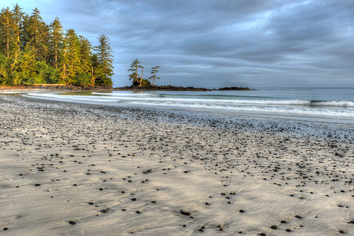
Nissen Bight
canada beach bc britishcolumbia vancouverisland capescott capescottprovincialpark experimentbight
Experiment Beach - Cape Scott - Vancouver Island, B.C.
Nissen Bight - Cape Scott Trail, BC
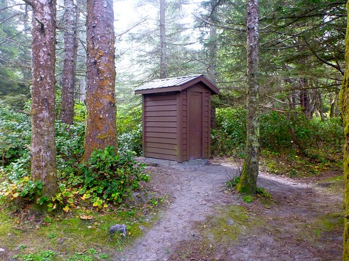
pit toilet - Nel's Bight, Cape Scott Trail, BC
coastal fog - Nel's Bight, Cape Scott Trail, BC
ocean park coast pacific britishcolumbia vancouverisland shore sanjosef
San Josef Bay shoreline