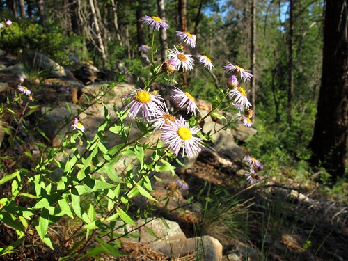
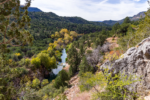
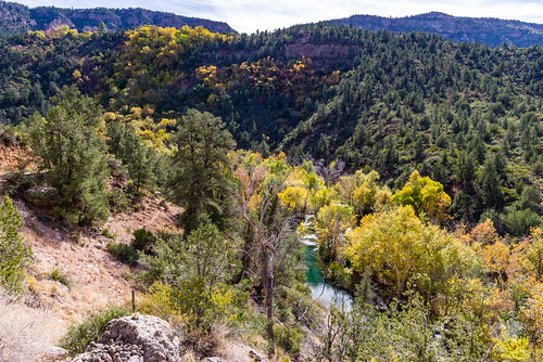
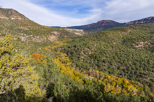
Elevation of Canyon Vista, Pine, AZ, USA
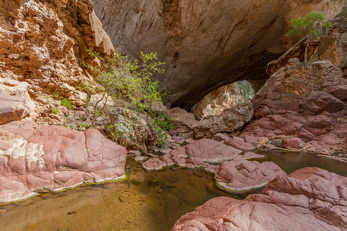
Location: United States > Arizona > Pine >

Longitude: -111.45229

Latitude: 34.4041793

Elevation: 1730m / 5676feet

Barometric Pressure: 82KPa

Elevation Map:

elevation map of Canyon Vista, Pine, AZ, USA
Satellite Map:

Satellite map of Canyon Vista, Pine, AZ, USA
Related Photos:

snow
Snowy Pine
road dailyshoothorizon bellyontheroad
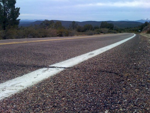
Road to the Horizon
arizona wild landscape skyscape summerstorms view mogollonrim pronouncedmuggyown therim stormy weather storms cliffedge forest mountains viewpoint gnarlylandscape stormyweather monsoon2018 thunderstorms rain 100mileview vista summer sky coloradoplateau 7600ftelevation highcountry outinthewild nature southwest canonpowershotg12 pspx9 zoniedude1 earthnaturelife
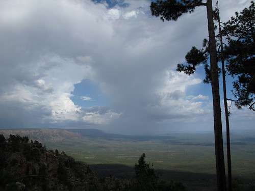
Summer Storms
arizona coconinonationalforest fr300 forestservice generalcrooktrail mogollonrim mogollonrimrangerdistrict pentaxk1 usfs forest outdoors pan panorama
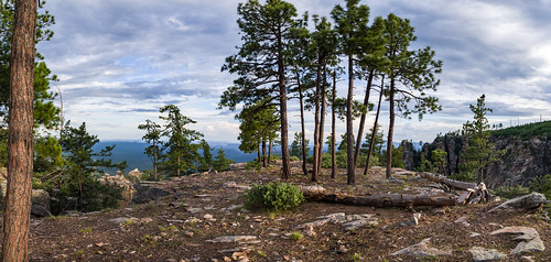
Mogollon Rim
county old school arizona house building architecture three strawberry az historic schoolhouse backroad rs payson gila nationalregisterofhistoricplaces 3rs rimcountry gilacounty alhikesaz arizonamemoryproject arizonahistoricalsociety fossilcreekroad strawberryschoolhouse arizonahighwaysarchitecture
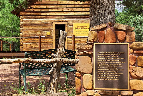
Historic Strawberry Schoolhouse - the approach
blurred mediumquality
Plateau View
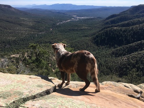
dog 2017365 felix
2017/365/71 Felix Ponders The view
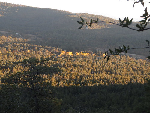
Sunset Over Pine AZ
View from Mongollon Rim Between Pine and Camp Verde, Arizona
pstrails
View Up to the top
arizona 1442mmlens
32912-24, Trail To The Tonto Natural Bridge
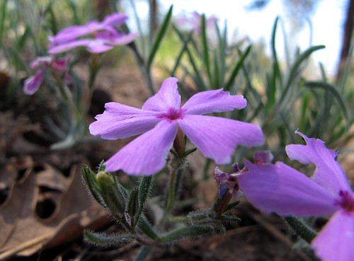
pink arizona southwest flower detail macro nature beauty closeup forest outdoors spring purple native adventure bloom exploration wildflower discovery phlox naz perennial coconinonationalforest phloxfamily polemoniaceae purplepink coconinocounty phloxspeciosa showyphlox 7000ftelevation ponderosapineforest zoniedude1 mogollonplateau earthnaturelife canonpowershotg12 woodhousesphlox phloxspeciosasspwoodhousei phinephloxphlowers
Phine Phlox Phlowers
How 1980 Viewed the Future
road dailyshoot
Where I'm Goin' / Where I've Been
View into Canyon at Tonto Natural, Bridge, Arizona
morning trees light arizona southwest nature forest sunrise outdoors shadows view purple lavender adventure edge wildflowers mogollonrim therim bluish coconinonationalforest wilddaisy keepitgreen aspenfleabane milkranchpoint zoniedude1 canonpowershotg11 7200ftelevation erigeronmacranthus purpleyposiesintheforest
Purpley Posies in the Forest
arizona coconinonationalforest flumetrail flumetrail154 flumetrailno154 forestservice fossilcreek pentaxk1 redrockrangerdistrict tontonationalforest usfs wildandscenicriver canyon desert fall fallcolor fallfoilage forest outdoors riparian campverde unitedstates
Flume Trail (November 13, 2017)
arizona coconinonationalforest flumetrail flumetrail154 flumetrailno154 forestservice fossilcreek pentaxk1 redrockrangerdistrict tontonationalforest usfs wildandscenicriver canyon desert fall fallcolor fallfoilage forest outdoors riparian campverde unitedstates
Flume Trail (November 13, 2017)
tonto
view near tonto natural bridge 03
arizona coconinonationalforest flumetrail flumetrail154 flumetrailno154 forestservice fossilcreek pentaxk1 redrockrangerdistrict tontonationalforest usfs wildandscenicriver canyon desert fall fallcolor fallfoilage forest outdoors riparian campverde unitedstates
Flume Trail (November 13, 2017)
beer thatbrewery
A Fermenters Eye View of the World
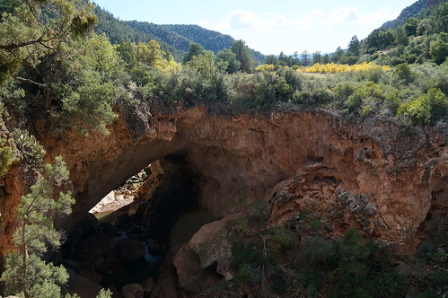
arizona tontonaturalbridge bridge rock reflection water favescontestwinner herowinner hdr fc instagram
Tonto Natural Bridge
bridge arizona nikon az tokina hdr payson 1116mm d7000
Tonto Natural Bridge
Jerome 2013
waterfalls fossilcreek arizona water waterfall falls stream creek unitedstates america
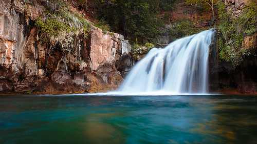
Double Waterfall - Fossil Creek, Arizona
arizona water waterfall falls stream creek unitedstates america waterfalls
Fossil Creek Close-up
arizona tontonaturalbridge tontonationalforest paysonarizona tontonaturalbridgestatepark arizonastateparks canon60d
Tonto Natural Bridge State Park
autumn arizona color reflection fall yellow potato aspen rim pake mogollon
Potato Lake in the Fall
longexposure arizona cliff water river waterfall strawberry crystal diving clear le payson fossilcreek gilacounty tontonationalforrest javierpantoja
Fossil Creek
arizona az fossilcreek img1295 canonef2470mmf28lusmzoomlens canoneos5dmarkiicamera grantbrummett
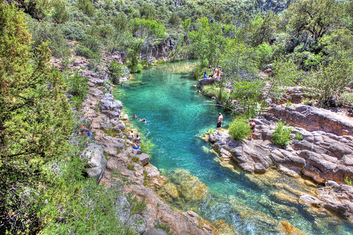
Fossil Creek Swimming Hole
arizona tontonaturalbridge tontonationalforest paysonarizona tontonaturalbridgestatepark arizonastateparks canon60d
Tonto Natural Bridge State Park
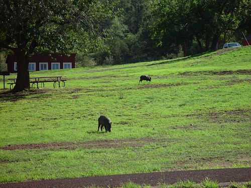
arizona javelina tontonaturalbridge paysonarizona tontonaturalbridgestatepark arizonaskies canon60d
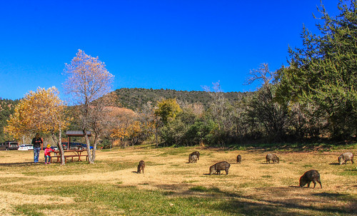
State Park Javelina
fossilcreek arizona water unitedstates america
Fossil Creek - Arizona
arizona water unitedstates america
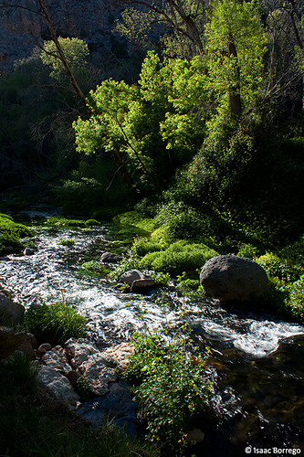
Moving Water
arizona southwest landscape outdoors rocks naturalbridge redrocks tonto stateparks americansouthwest canonefs1022mmf3545usm landscapephotography ultrawideangle redrockcountry tontonaturalbridgestatepark outdoorphotography canonefs1022 arizonastatepark canon7d lifeontherocks
Tonto Natural Bridge State Park
bridge arizona javelina az naturalbridge tonto tontonaturalbridge
TontoNaturalBridge_20060805 004
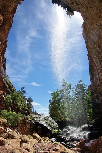
park bridge arizona water creek waterfall arch natural state hiking az hike tonto payson hikes tontonaturalbridge azhike alhikesaz arizonastatepark arizonapassages
Tonto Natural Bridge Waterfall
arizona fossilspringswilderness
Fossil Springs Wilderness
arizona naturalbridge travertine tontonaturalbridge tontonaturalbridgestatepark turtleslava2014
there it is
panorama coconinonationalforest bradysmith
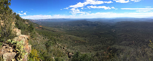
Panorama of Mogollon Rim (HDR)
coconinonationalforest bradysmith
Panorama of Mogollon Rim
arizona blackandwhite water waterfall falls stream creek unitedstates america waterfalls
Abandoned Dam at Fossil Creek