Elevation of Canton Rd, Sparta, WI, USA
Location: United States > Wisconsin > Monroe County > Little Falls >
Longitude: -90.84179
Latitude: 44.087595
Elevation: 259m / 850feet
Barometric Pressure: 98KPa
Elevation Map:
Satellite Map:
Related Photos:
The view from years past..

Wegner Grotto

Wegner Grotto

Wegner Grotto

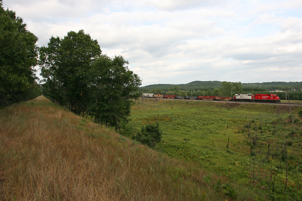
The Back Roads

1974-009a

At Fort McCoy

How dandy

Farm photo
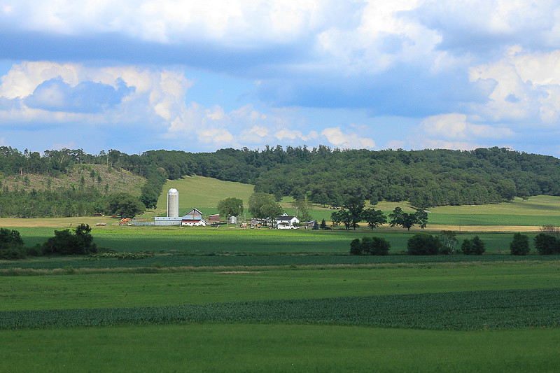
Farm land
June 24, 2012

Hidden Bridge

5 Lost Falls

Bridging Lost Falls

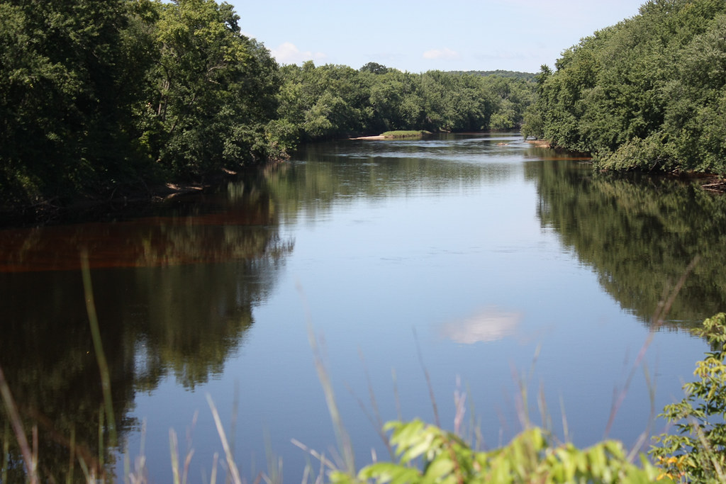
Wall along the Black
August 14, 2011
Topographic Map of Canton Rd, Sparta, WI, USA
Find elevation by address:

Places near Canton Rd, Sparta, WI, USA:
Little Falls
N3595
Lafayette
Manchester
Sparta
1217 Jane Dr
16065 Hammock Rd
Sparta
S Court St, Sparta, WI, USA
7961 County Rd O
Fort Mccoy
Monroe County
Burns
620 Gebhardt Rd
Rock St, Rockland, WI, USA
N5920
405 Wi-54 Trunk
Black River Falls
W11347 Spaulding Rd
Aasen Road
Recent Searches:
- Elevation of Corso Fratelli Cairoli, 35, Macerata MC, Italy
- Elevation of Tallevast Rd, Sarasota, FL, USA
- Elevation of 4th St E, Sonoma, CA, USA
- Elevation of Black Hollow Rd, Pennsdale, PA, USA
- Elevation of Oakland Ave, Williamsport, PA, USA
- Elevation of Pedrógão Grande, Portugal
- Elevation of Klee Dr, Martinsburg, WV, USA
- Elevation of Via Roma, Pieranica CR, Italy
- Elevation of Tavkvetili Mountain, Georgia
- Elevation of Hartfords Bluff Cir, Mt Pleasant, SC, USA