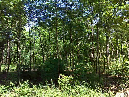
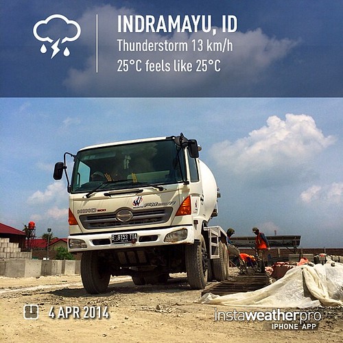
Elevation of Cantigi, Indramayu Regency, West Java, Indonesia
Location: Indonesia > West Java > Indramayu Regency >
Longitude: 108.225889
Latitude: -6.2814606
Elevation: 3m / 10feet
Barometric Pressure: 101KPa
Related Photos:
Topographic Map of Cantigi, Indramayu Regency, West Java, Indonesia
Find elevation by address:

Places near Cantigi, Indramayu Regency, West Java, Indonesia:
Losarang
Kandanghaur
Patrol
Gabuswetan
Arjasari
Bongas
Sukra
Sukrawetan
Kroya
Jayamulya
Haurgeulis
Patimban
Pusakanagara
Gantar
Bantarwaru
Subang Regency
Pagaden
Buahdua
Kadipaten
Nagrak
Recent Searches:
- Elevation of Corso Fratelli Cairoli, 35, Macerata MC, Italy
- Elevation of Tallevast Rd, Sarasota, FL, USA
- Elevation of 4th St E, Sonoma, CA, USA
- Elevation of Black Hollow Rd, Pennsdale, PA, USA
- Elevation of Oakland Ave, Williamsport, PA, USA
- Elevation of Pedrógão Grande, Portugal
- Elevation of Klee Dr, Martinsburg, WV, USA
- Elevation of Via Roma, Pieranica CR, Italy
- Elevation of Tavkvetili Mountain, Georgia
- Elevation of Hartfords Bluff Cir, Mt Pleasant, SC, USA


