Elevation of Cansague Sur, Bohol, Philippines
Location: Philippines > Central Visayas > Bohol >
Longitude: 123.958278
Latitude: 9.8240949
Elevation: -10000m / -32808feet
Barometric Pressure: 295KPa
Related Photos:

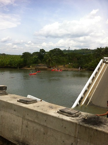
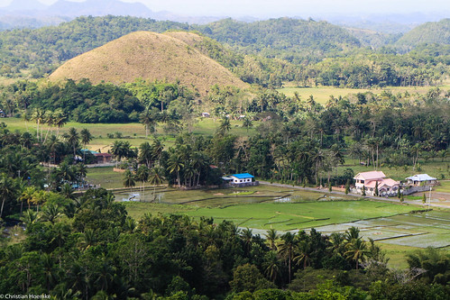
In search of a new picture to share, I ventured down Central Visayas Region to see for myself the famous Chocolate Hills. Remnants of the tragic earthquake still evident but the view took it all away. #Philippines #ItsMoreFunInThePhilippines #TheChocolate
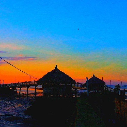
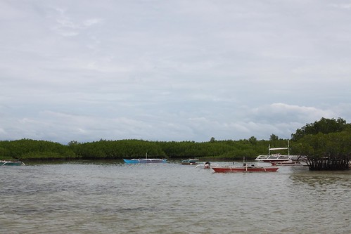
Perfect! I think nothing can be more beautiful than to end this tiring day but with this view... #Giveback #freeclinic #dentalmission #sunset #tubigon #bohol #XaveeBohol2014
Topographic Map of Cansague Sur, Bohol, Philippines
Find elevation by address:

Places near Cansague Sur, Bohol, Philippines:
Antequera
Balilihan
Catigbian
Maribojoc
Maribojoc
Batuan
Batuan
San Miguel Street
Uptown Road
Bilar
Loon
Tagbilaran City
Chocolate Hills
Garcia
Marqis Sunrise Sunset Resort And Spa
Baclayon
Calceta Street
Cogon
Bool
Mansasa High School
Recent Searches:
- Elevation of Corso Fratelli Cairoli, 35, Macerata MC, Italy
- Elevation of Tallevast Rd, Sarasota, FL, USA
- Elevation of 4th St E, Sonoma, CA, USA
- Elevation of Black Hollow Rd, Pennsdale, PA, USA
- Elevation of Oakland Ave, Williamsport, PA, USA
- Elevation of Pedrógão Grande, Portugal
- Elevation of Klee Dr, Martinsburg, WV, USA
- Elevation of Via Roma, Pieranica CR, Italy
- Elevation of Tavkvetili Mountain, Georgia
- Elevation of Hartfords Bluff Cir, Mt Pleasant, SC, USA

