Elevation of Cannon St, Harrisburg, IL, USA
Location: United States > Illinois > Saline County > Harrisburg Township > Harrisburg >
Longitude: -88.552746
Latitude: 37.7482868
Elevation: 116m / 381feet
Barometric Pressure: 100KPa
Elevation Map:
Satellite Map:
Related Photos:

Autumn on the lake

005 - Snowy Night

Carrier Mills, IL (formerly known as the town of Catskin and also known as Morrilsville)

Harrisburg, IL

251 - Harrisburg_Lake_Panorama

310 - cloudy sunset

1412 II

Standard sunset

Rolling in

Sunset Panorama
DSC_0870-001

279 - Sunlight and clouds

Monkey face

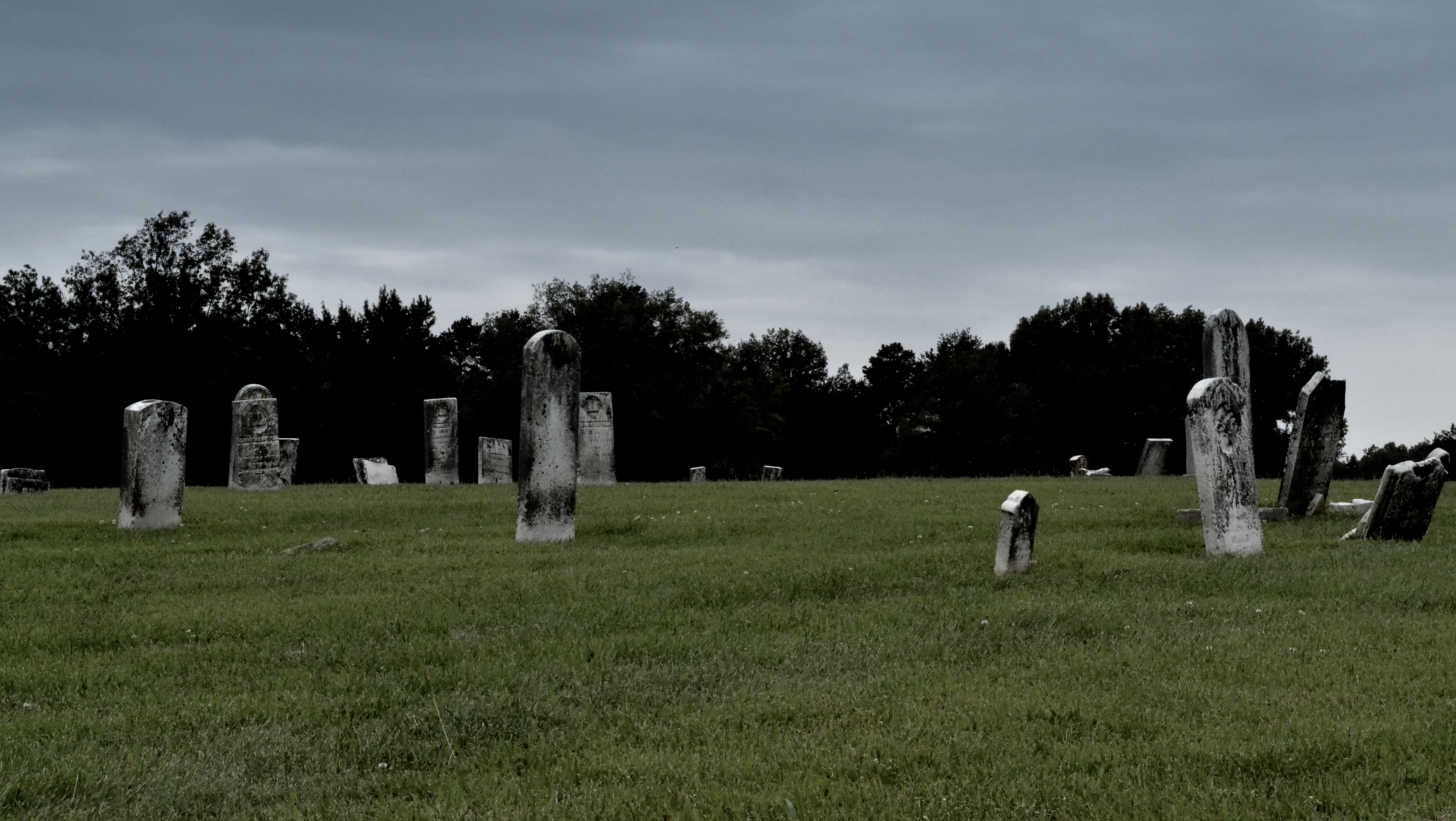
Abandoned.
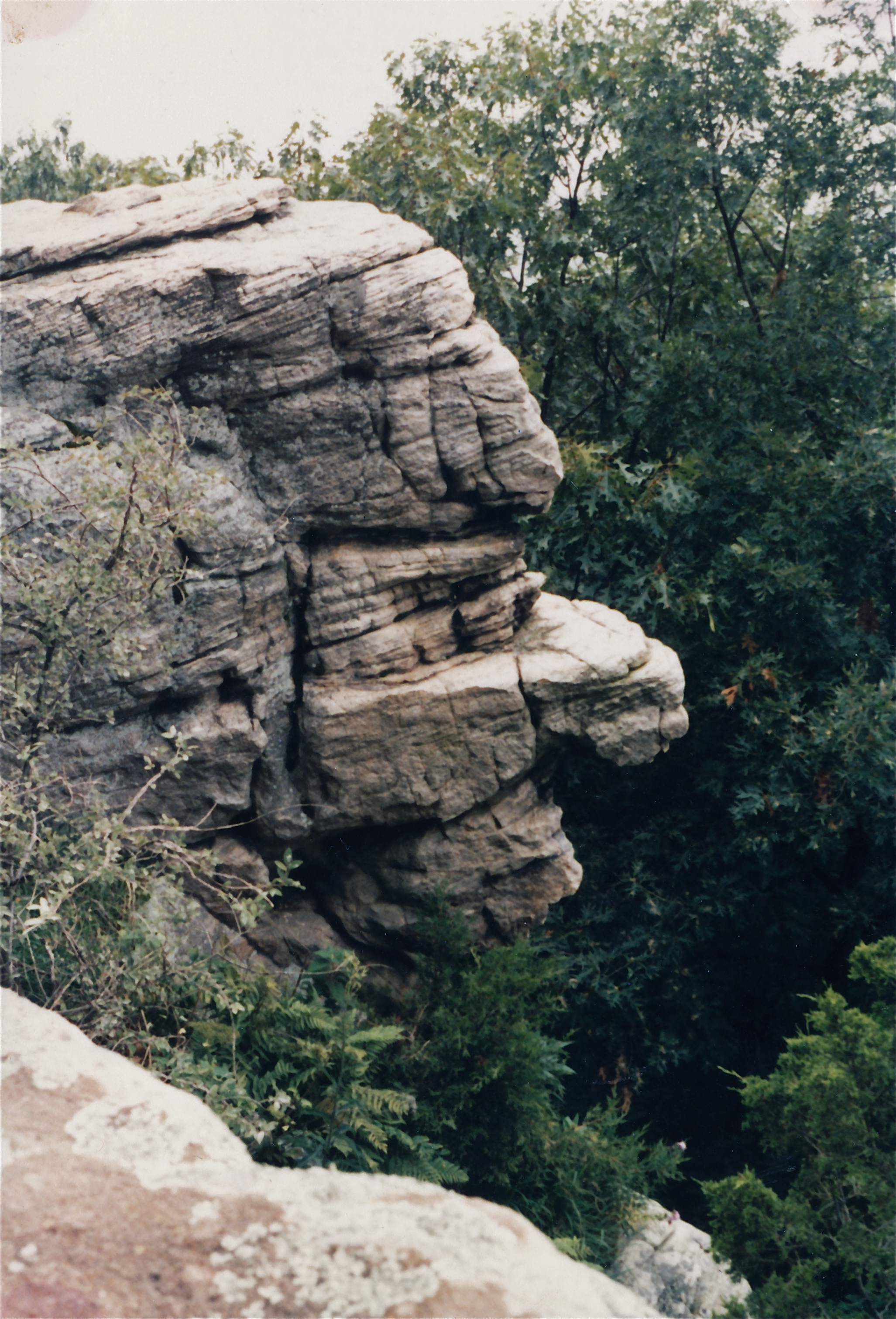
Stone Face

oil field/ corn field in black and white.

Sunrise July 14, 2015

sunset 7-29-15

Sunrise July 16, 2015
Topographic Map of Cannon St, Harrisburg, IL, USA
Find elevation by address:

Places near Cannon St, Harrisburg, IL, USA:
Il-34 & W Locust St
Il-34 & W Locust St
Il-34 & W Locust St
Harrisburg
Saline County Recorders Office
Harrisburg Township
W Longley St, Harrisburg, IL, USA
Saline County
East State Street
Maple St, Harrisburg, IL, USA
Raleigh Township
1495 Co Hwy 36
Eldorado
4th St, Eldorado, IL, USA
1119 Latham St
N, Galatia, IL, USA
East Eldorado Township
1000 Massey Rd
Mountain Township
56 ⛉ New Hope Ln, Herod, IL, USA
Recent Searches:
- Elevation of Corso Fratelli Cairoli, 35, Macerata MC, Italy
- Elevation of Tallevast Rd, Sarasota, FL, USA
- Elevation of 4th St E, Sonoma, CA, USA
- Elevation of Black Hollow Rd, Pennsdale, PA, USA
- Elevation of Oakland Ave, Williamsport, PA, USA
- Elevation of Pedrógão Grande, Portugal
- Elevation of Klee Dr, Martinsburg, WV, USA
- Elevation of Via Roma, Pieranica CR, Italy
- Elevation of Tavkvetili Mountain, Georgia
- Elevation of Hartfords Bluff Cir, Mt Pleasant, SC, USA