Elevation of Cannon Corners Road, Cannon Corners Rd, Mooers, NY, USA
Location: United States > New York > Clinton County > Mooers > Mooers Forks >
Longitude: -73.739264
Latitude: 44.9613572
Elevation: 212m / 696feet
Barometric Pressure: 99KPa
Elevation Map:
Satellite Map:
Related Photos:
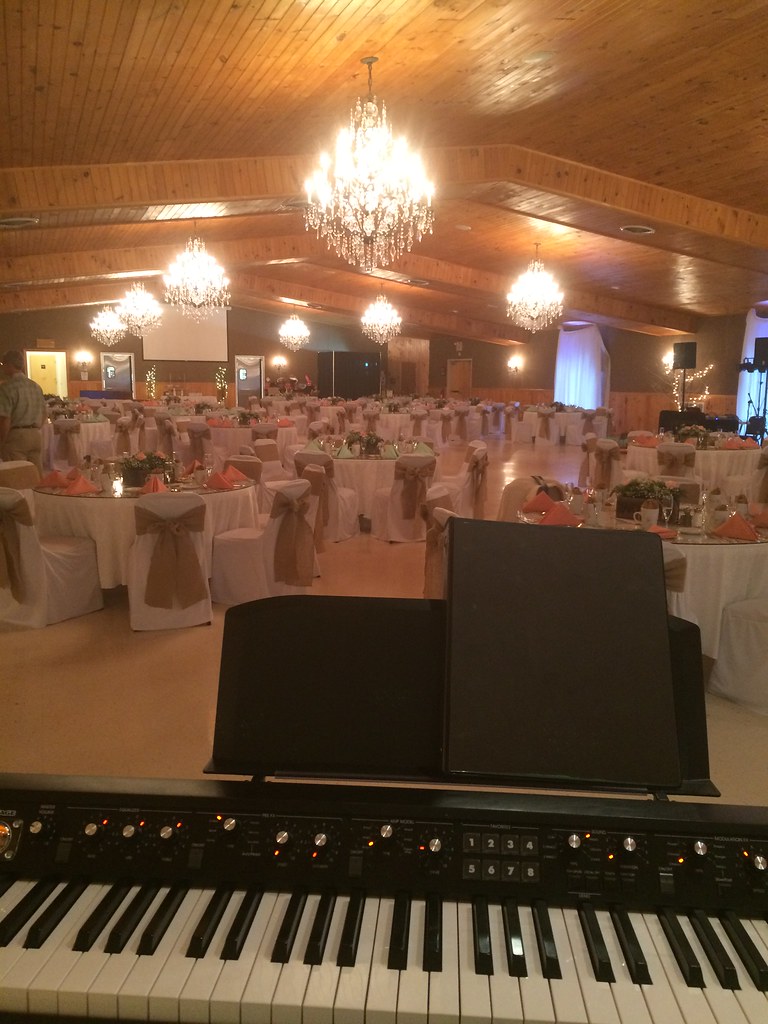
View from Keyboard at The Rainbow Wedding and Banquet Hall, Altona, NY
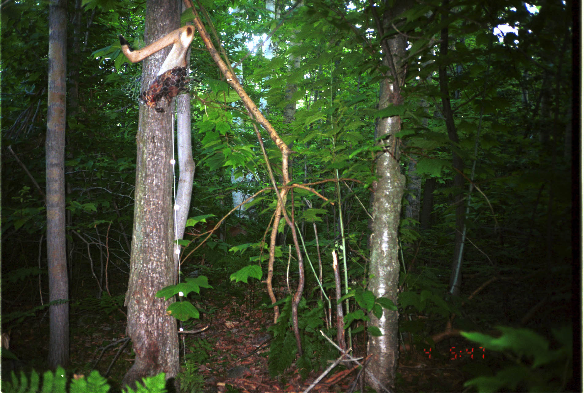
White-tailed Deer
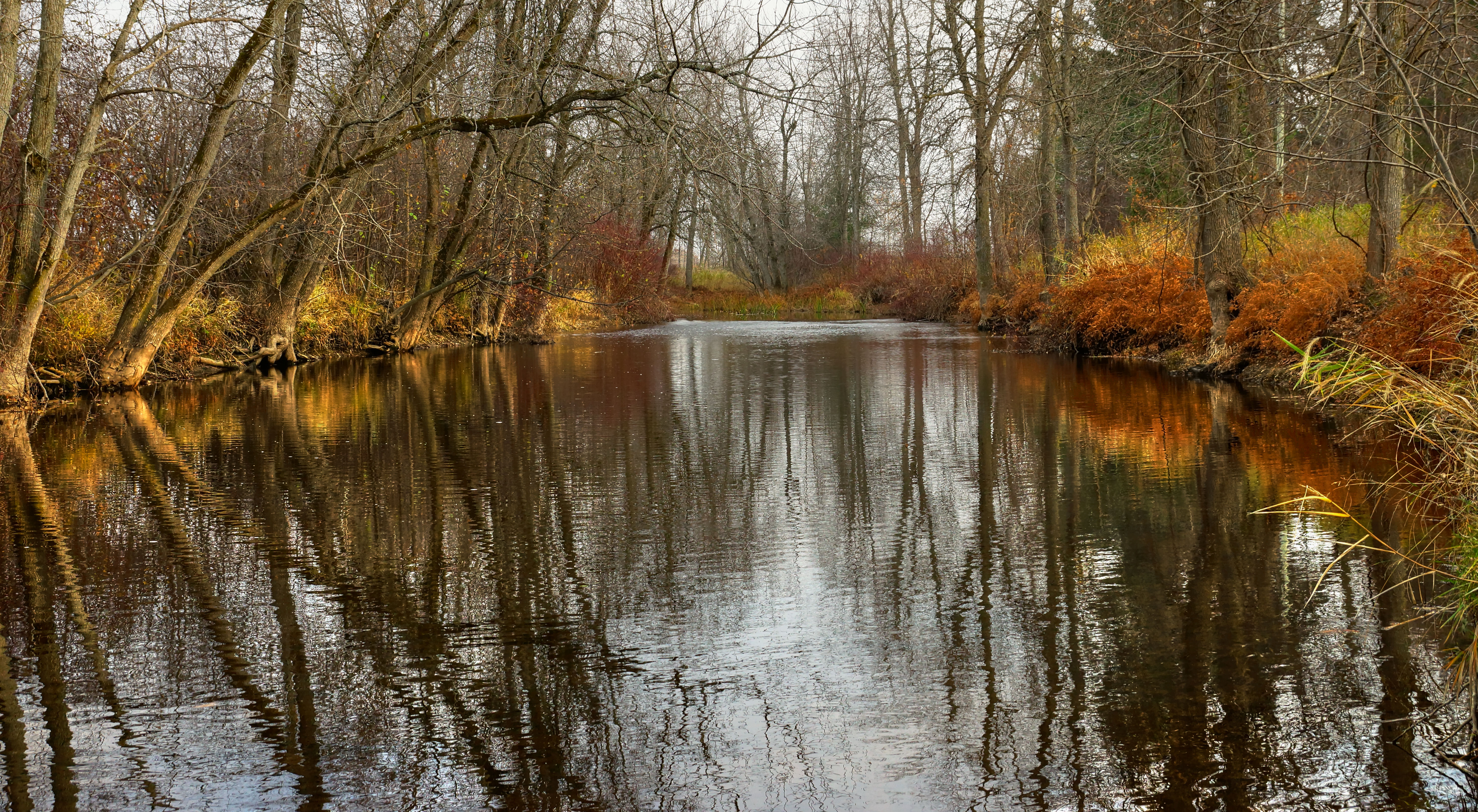
La rivière des Anglais drapée d'ocre
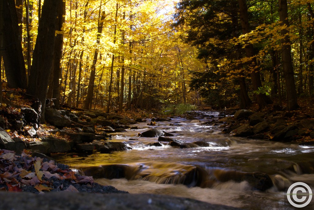
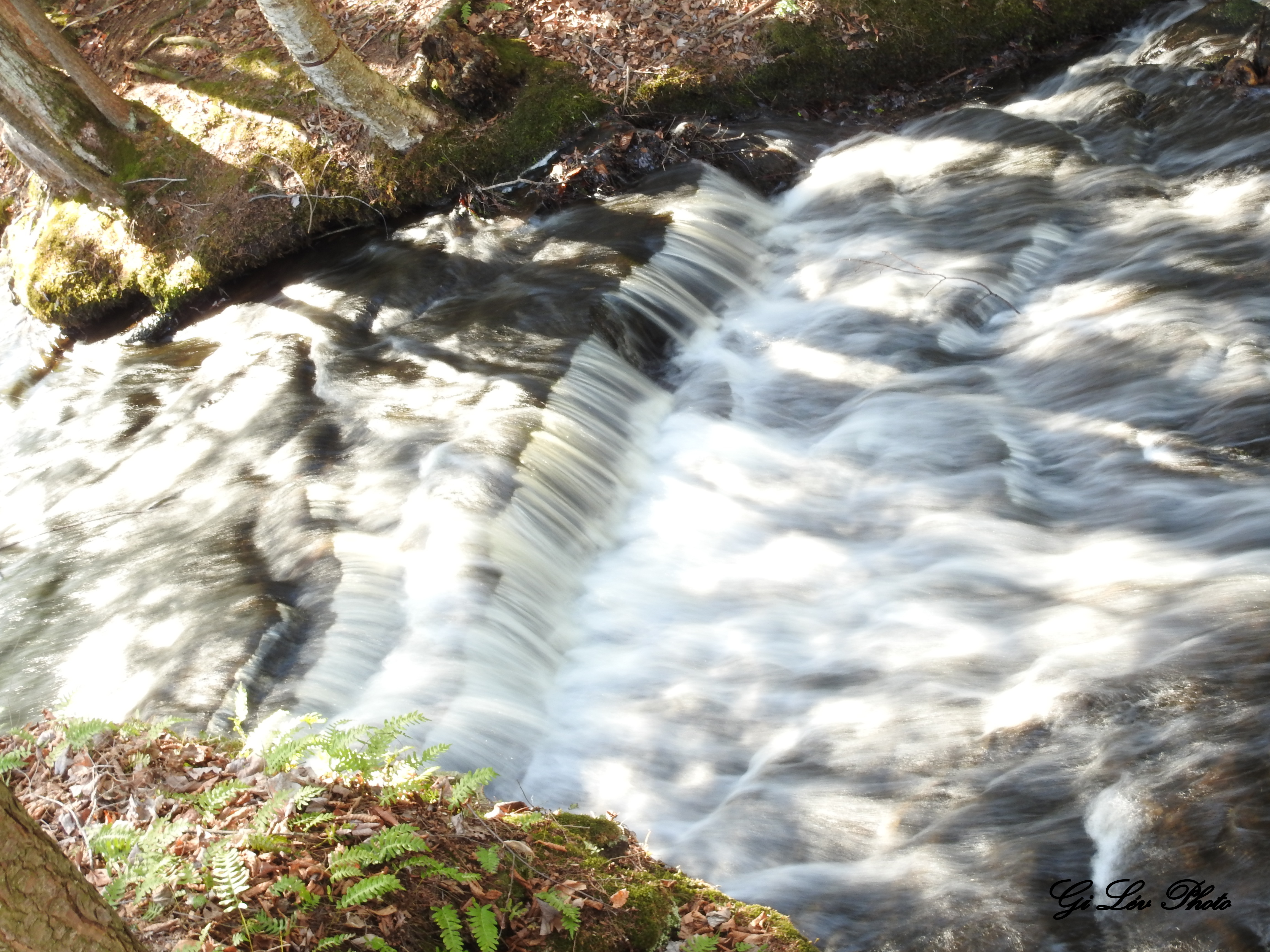
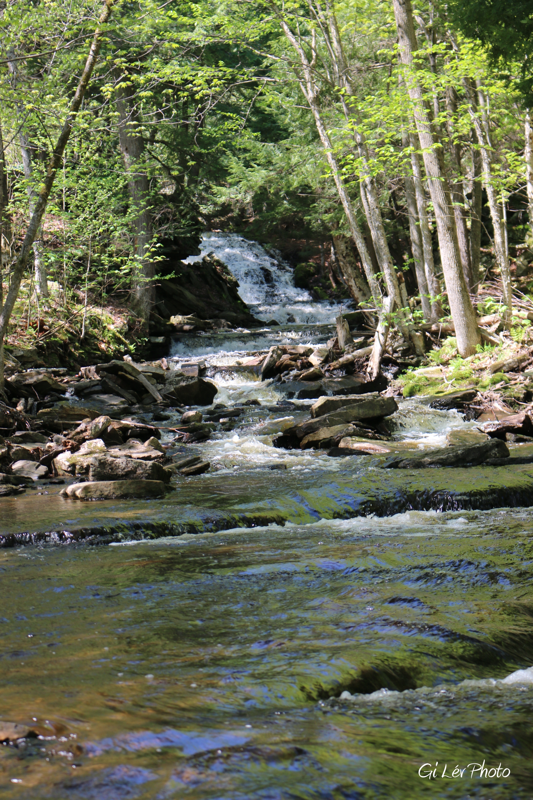
Fall river stream
Au camping
Au Camping

Vague végétale

good morning champlain
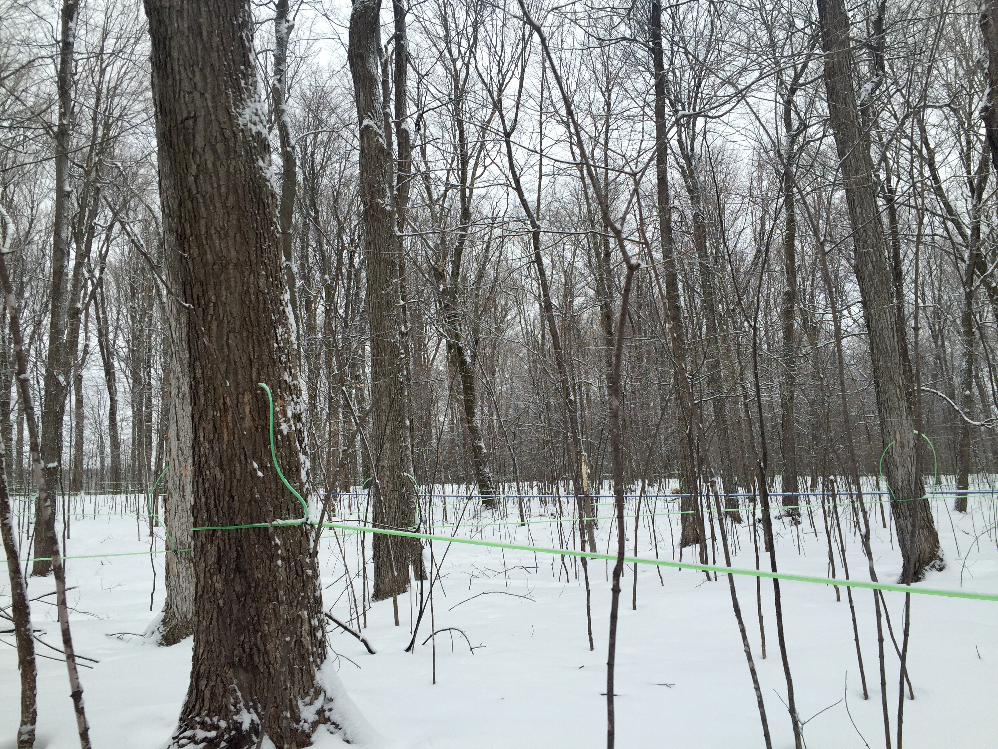
Modern maple syrup tapping
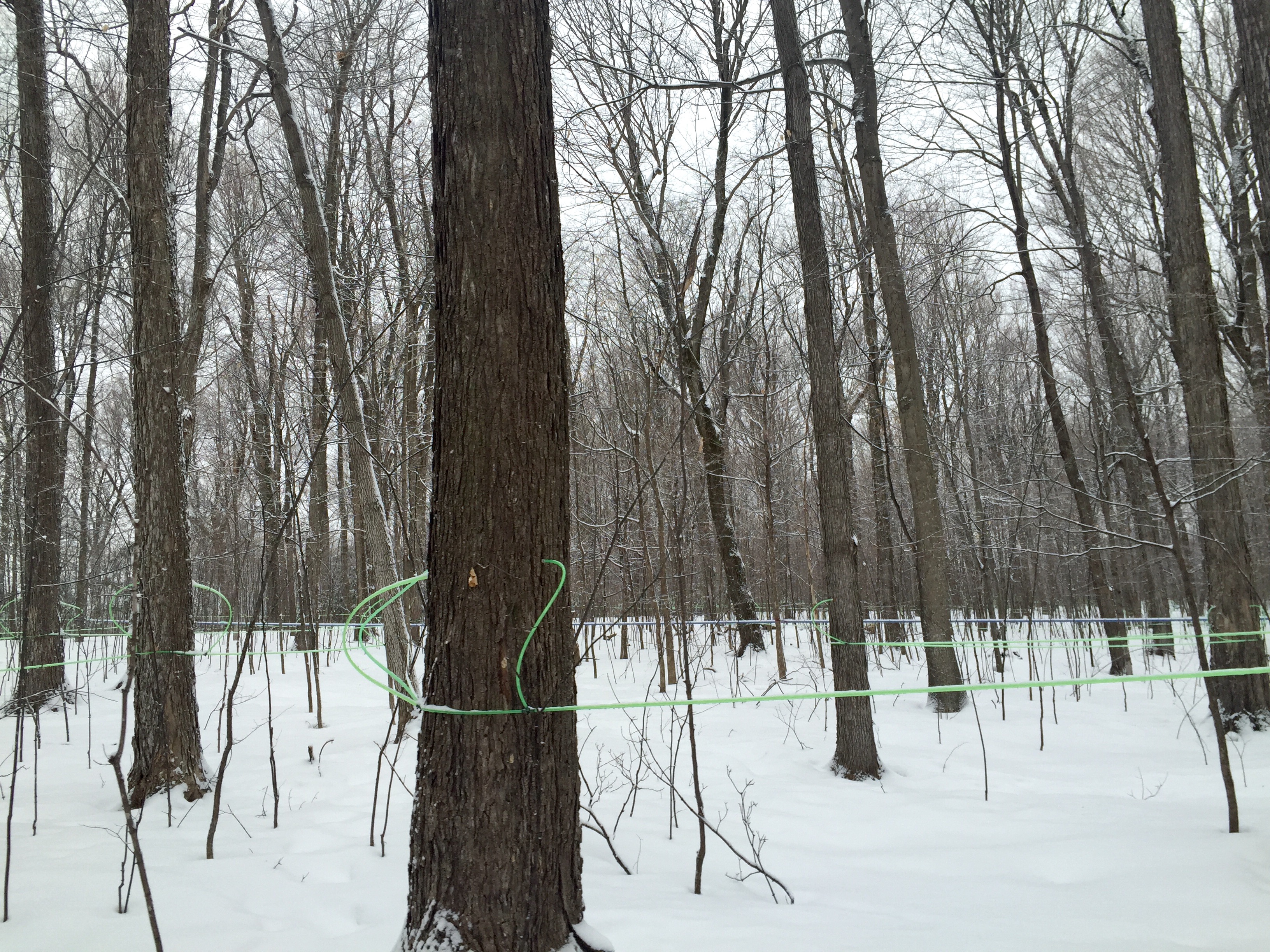
Modern maple syrup tapping

another beautiful sunrise in champlain ny
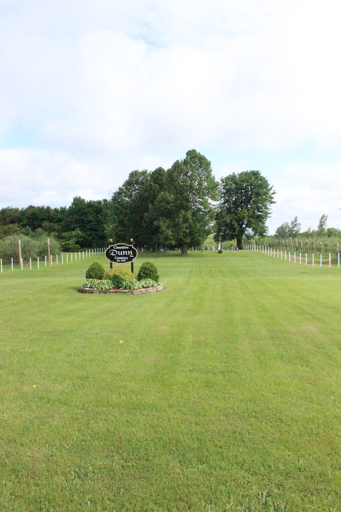
Dunn Cemetery
2009-07-03 14.47.25

2009-07-03 14.28.25
Topographic Map of Cannon Corners Road, Cannon Corners Rd, Mooers, NY, USA
Find elevation by address:

Places near Cannon Corners Road, Cannon Corners Rd, Mooers, NY, USA:
44 Nephew Rd
967 Davison Rd
Mooers
Alder Bend Rd, Altona, NY, USA
5401 Military Turnpike
Ellenburg Depot
US-11, Ellenburg Depot, NY, USA
Mooers Forks
Altona
Ellenburg
Altona
Carter Road
Rand Hill Road
3936 Military Turnpike
3860/3864
Ellenburg Center
866 Vassar Rd
Ellenburg
Miner Farm Rd, West Chazy, NY, USA
Chazy Lake Beach
Recent Searches:
- Elevation of Corso Fratelli Cairoli, 35, Macerata MC, Italy
- Elevation of Tallevast Rd, Sarasota, FL, USA
- Elevation of 4th St E, Sonoma, CA, USA
- Elevation of Black Hollow Rd, Pennsdale, PA, USA
- Elevation of Oakland Ave, Williamsport, PA, USA
- Elevation of Pedrógão Grande, Portugal
- Elevation of Klee Dr, Martinsburg, WV, USA
- Elevation of Via Roma, Pieranica CR, Italy
- Elevation of Tavkvetili Mountain, Georgia
- Elevation of Hartfords Bluff Cir, Mt Pleasant, SC, USA