Elevation of Campbell Highlands Dr, Pioneer, TN, USA
Location: United States > Tennessee > Scott County > Pioneer >
Longitude: -84.313566
Latitude: 36.4461264
Elevation: 491m / 1611feet
Barometric Pressure: 96KPa
Elevation Map:
Satellite Map:
Related Photos:

Wild Geranium 139_3957

View Towards LaFollette
view from the top

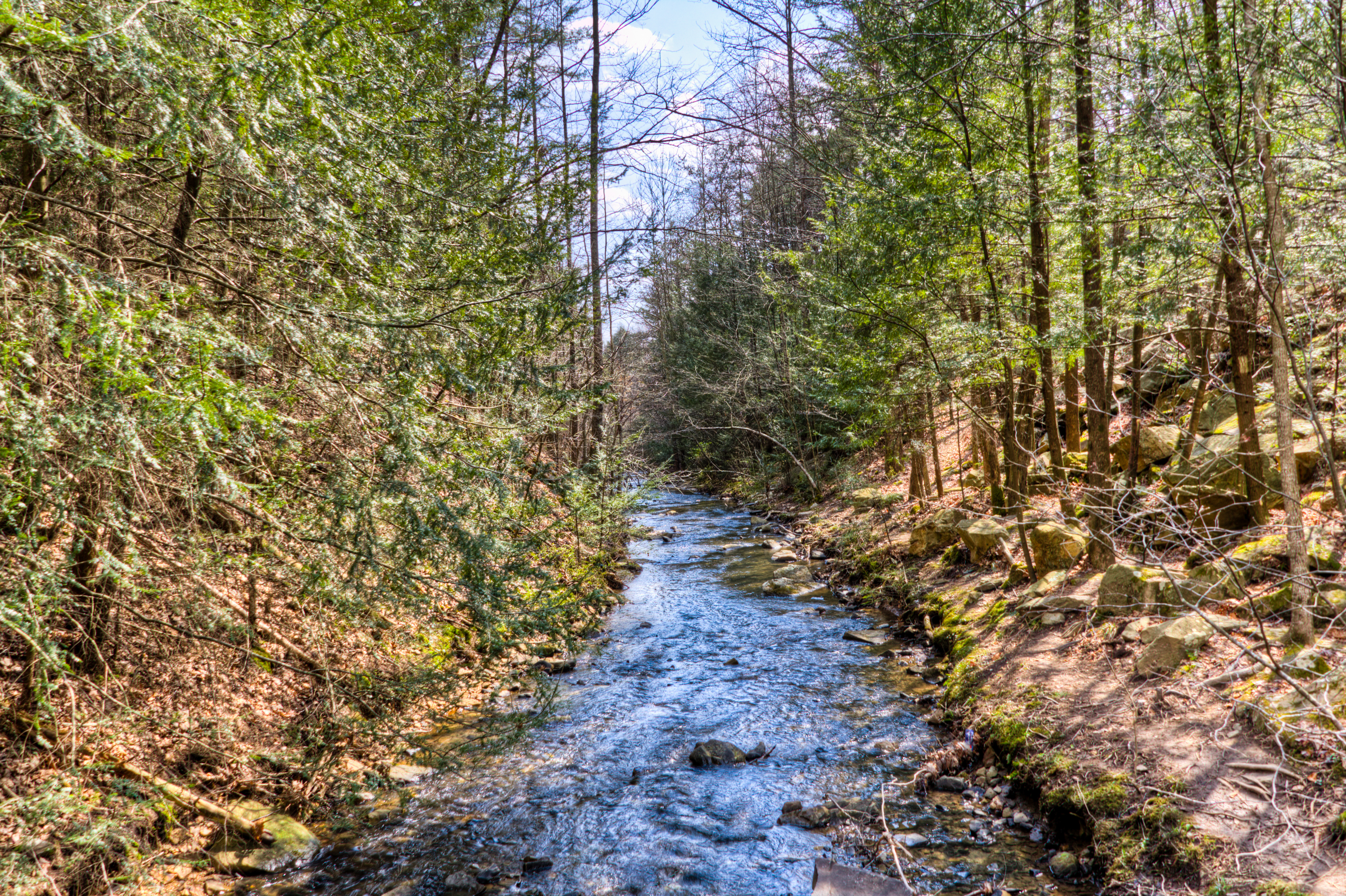
Bruce Creek

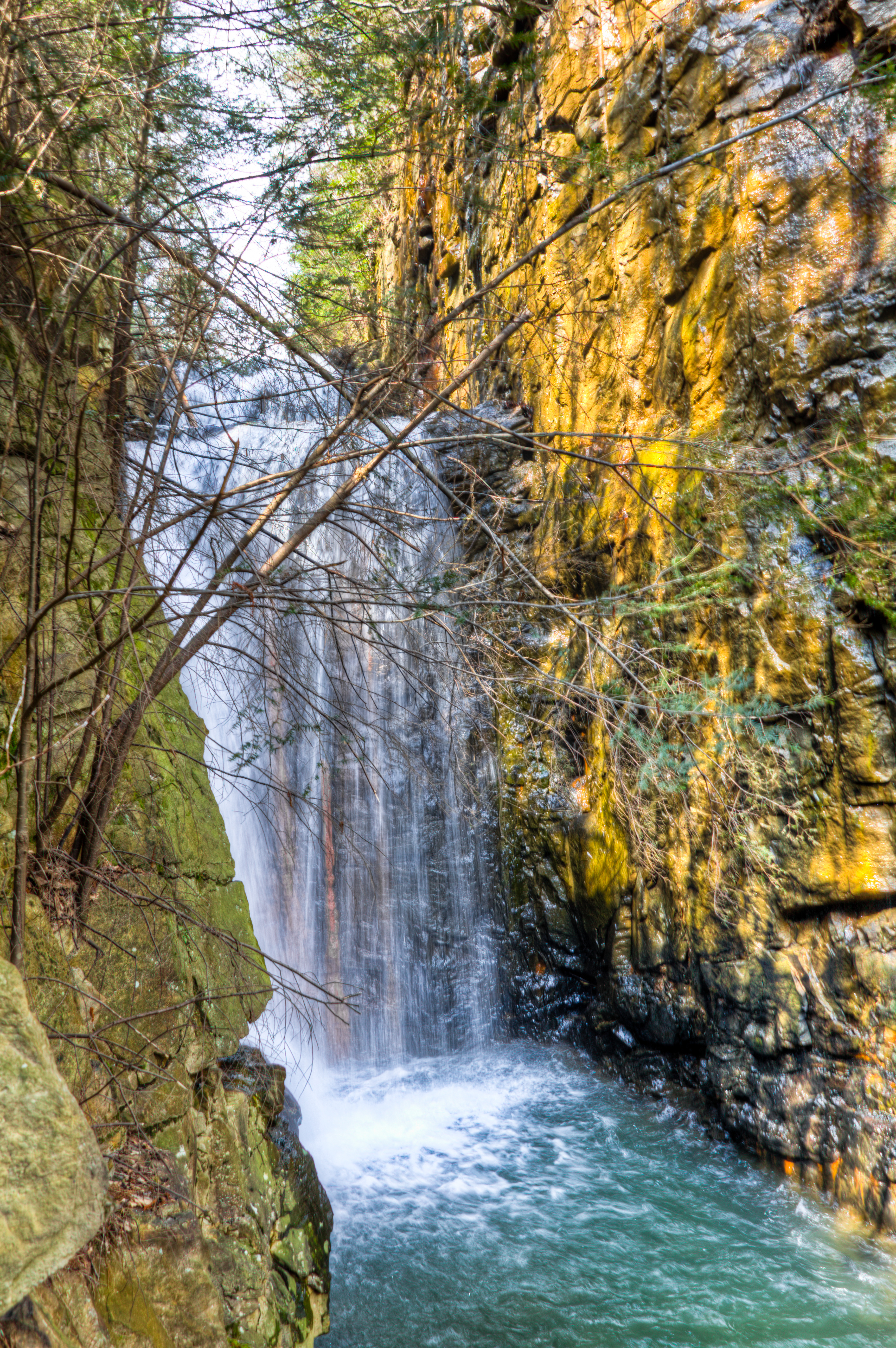
Bruce Falls in motion

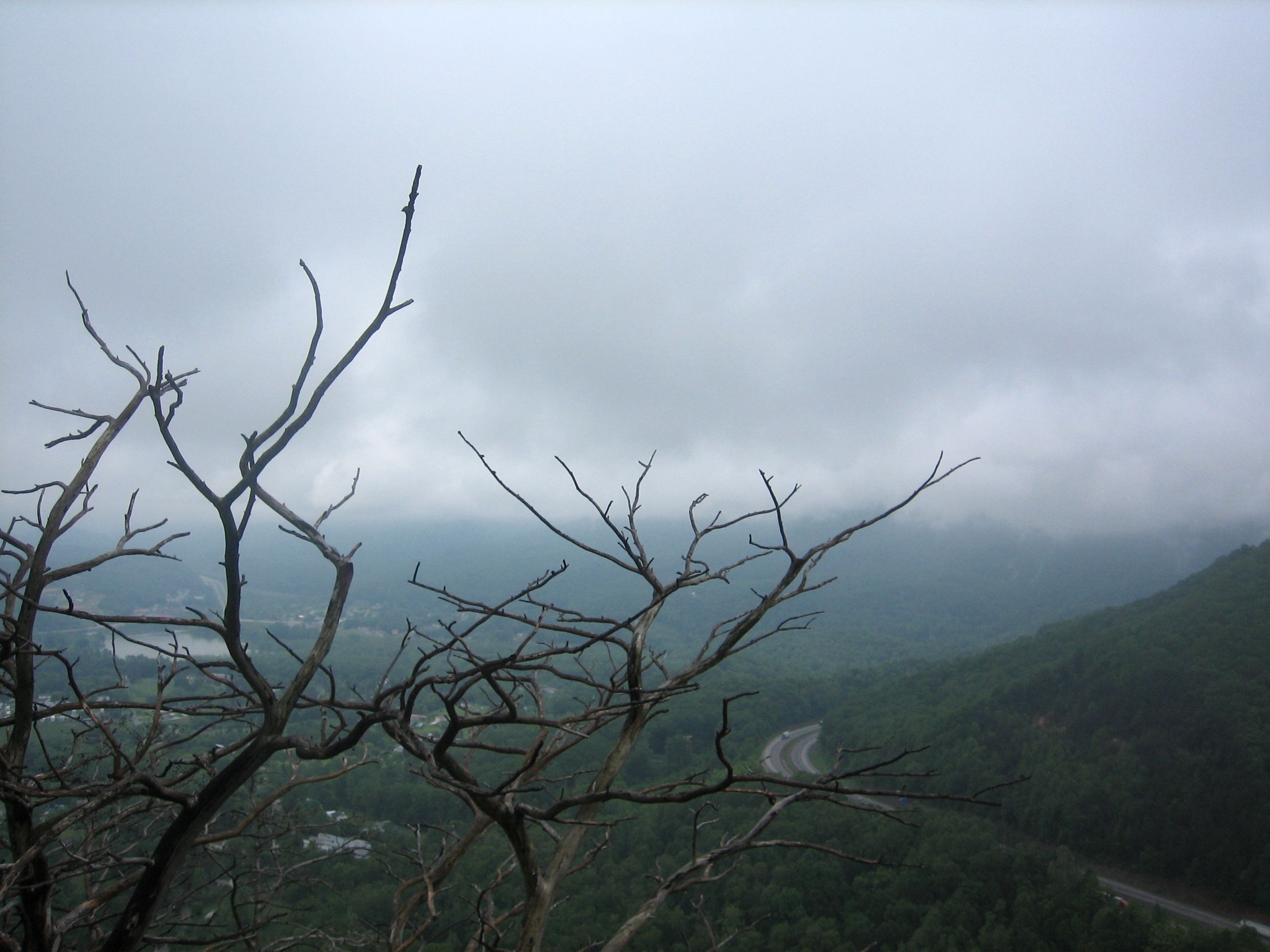
Powell River Valley

CLOUDSCAPE-1

Cumberland Mountain segment of the Cumberland Trail
Cumberland Mountain segment of the Cumberland Trail

Cumberland Mountain segment of the Cumberland Trail
Cumberland Mountain segment of the Cumberland Trail
Cumberland Mountain segment of the Cumberland Trail

Cumberland Mountain segment of the Cumberland Trail

I-75 & the Cumberland Mountains

Cumberland Mountain segment of the Cumberland Trail

Cumberland Mountain segment of the Cumberland Trail

Cumberland Mountain segment of the Cumberland Trail

DSC_6945-Popphoto

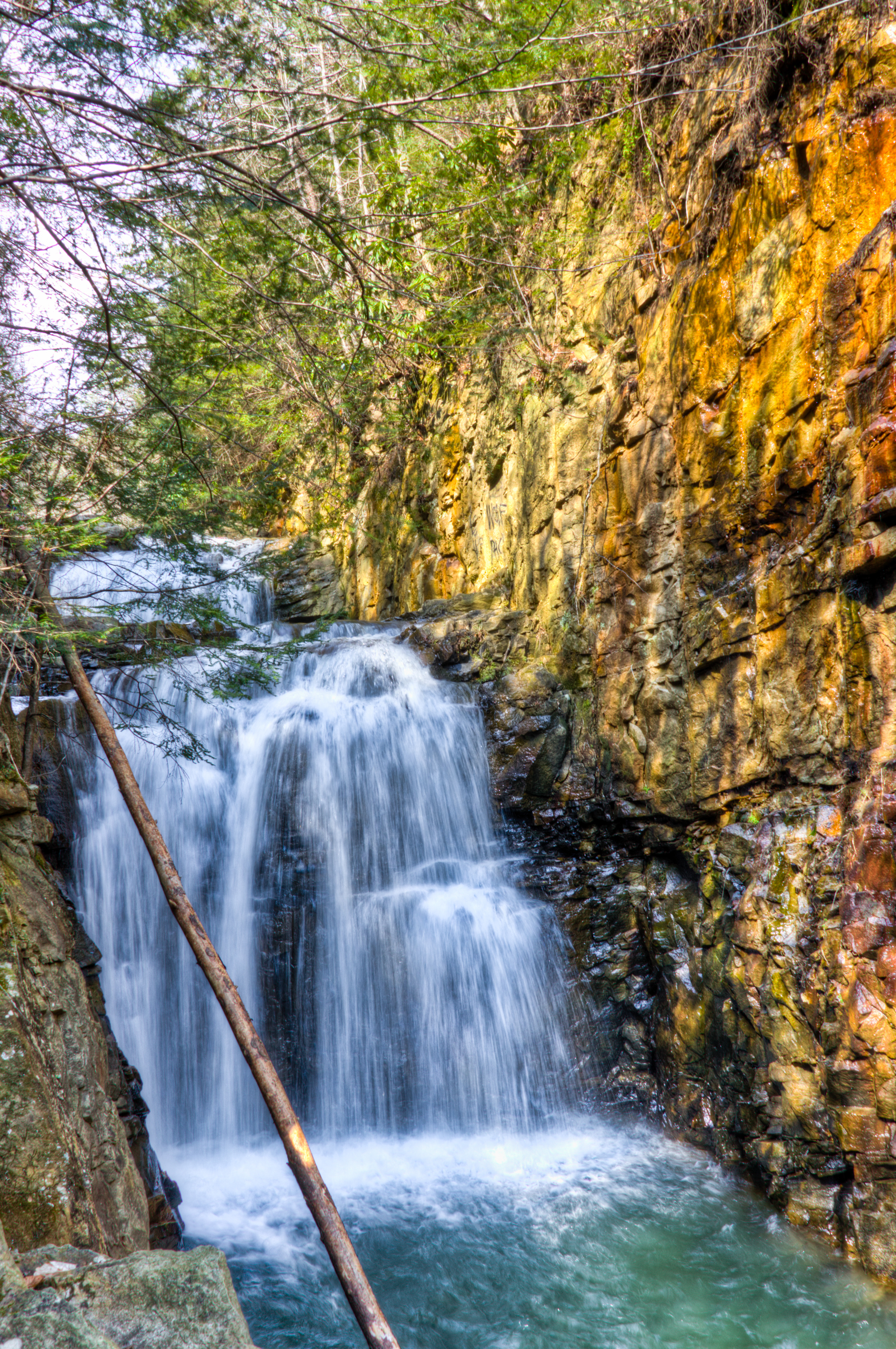
Bruce Creek Falls

Cumberland Mountain segment of the Cumberland Trail

Lunch Spot

Bruce Creek Falls

Cumberland Mountain segment of the Cumberland Trail

Cumberland Mountain segment of the Cumberland Trail
Topographic Map of Campbell Highlands Dr, Pioneer, TN, USA
Find elevation by address:

Places near Campbell Highlands Dr, Pioneer, TN, USA:
Pioneer
Elk Valley
Stinking Creek Road
4292 Tn-297
Rarity Mountain Road
Old Stinking Creek Road
1503 Melvin Hollow Rd
1801 Melvin Hollow Rd
330 Davis Chapel Rd
5075 Hwy 25
S Hwy 25, LaFollette, TN, USA
Duff
N Hwy 25, Duff, TN, USA
Habersham Rd, Duff, TN, USA
1013 Cross Valley Rd
LaFollette, TN, USA
Knotty Pine Ln, Duff, TN, USA
1125 Cross Valley Rd
121 Hickory Hill Cir
Recent Searches:
- Elevation of Corso Fratelli Cairoli, 35, Macerata MC, Italy
- Elevation of Tallevast Rd, Sarasota, FL, USA
- Elevation of 4th St E, Sonoma, CA, USA
- Elevation of Black Hollow Rd, Pennsdale, PA, USA
- Elevation of Oakland Ave, Williamsport, PA, USA
- Elevation of Pedrógão Grande, Portugal
- Elevation of Klee Dr, Martinsburg, WV, USA
- Elevation of Via Roma, Pieranica CR, Italy
- Elevation of Tavkvetili Mountain, Georgia
- Elevation of Hartfords Bluff Cir, Mt Pleasant, SC, USA