Elevation of Camp McDowell, Delong Road, Nauvoo, AL, USA
Location: United States > Alabama > Winston County > Nauvoo >
Longitude: -87.362333
Latitude: 34.014905
Elevation: 216m / 709feet
Barometric Pressure: 99KPa
Elevation Map:
Satellite Map:
Related Photos:
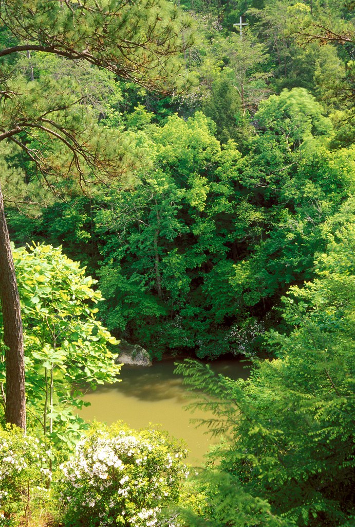
View from Eppes
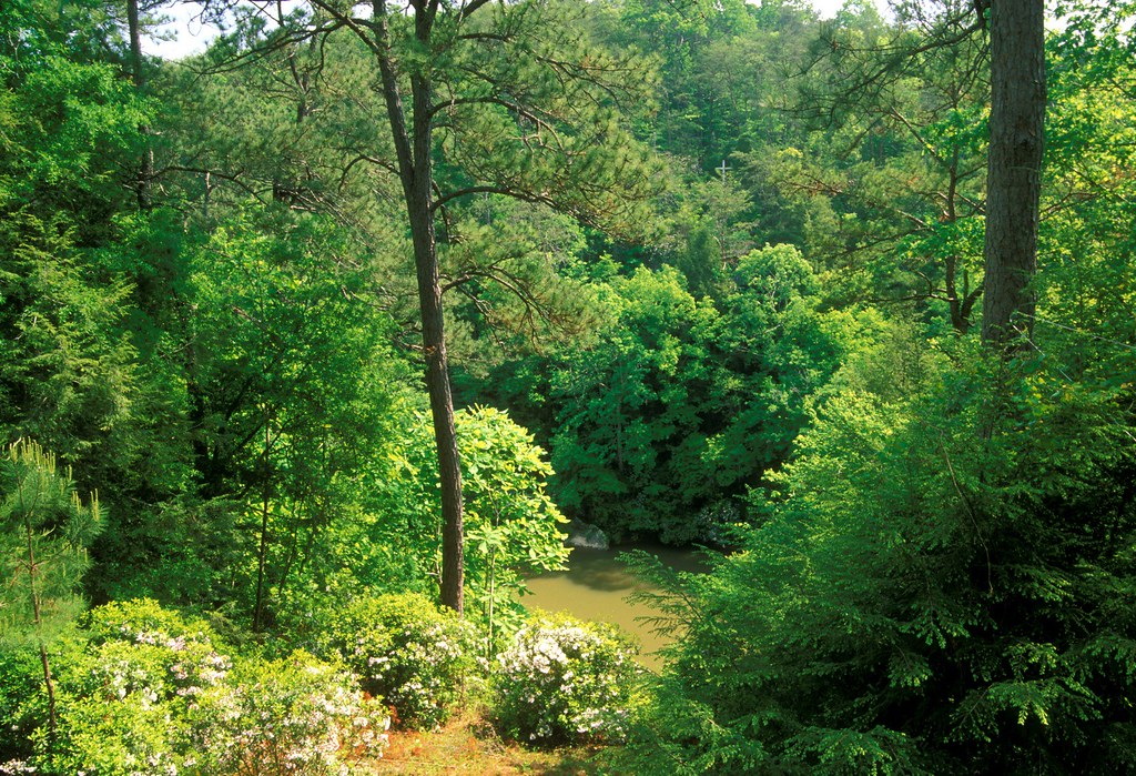
View from Eppes
A lovely view
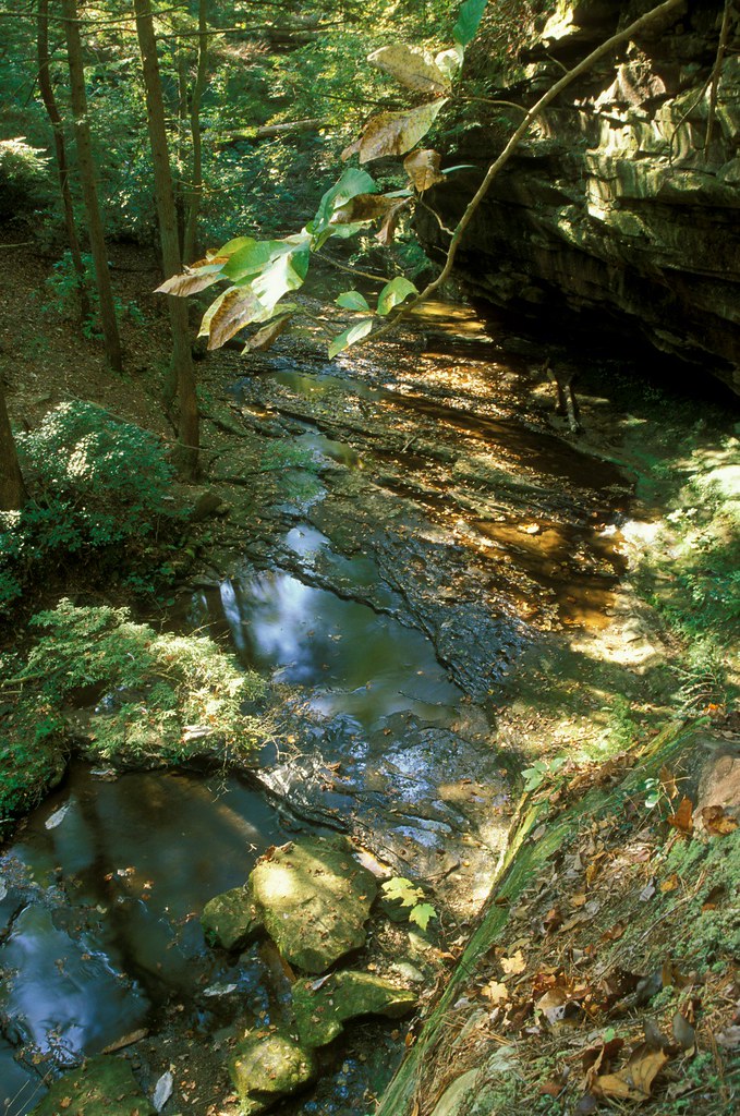
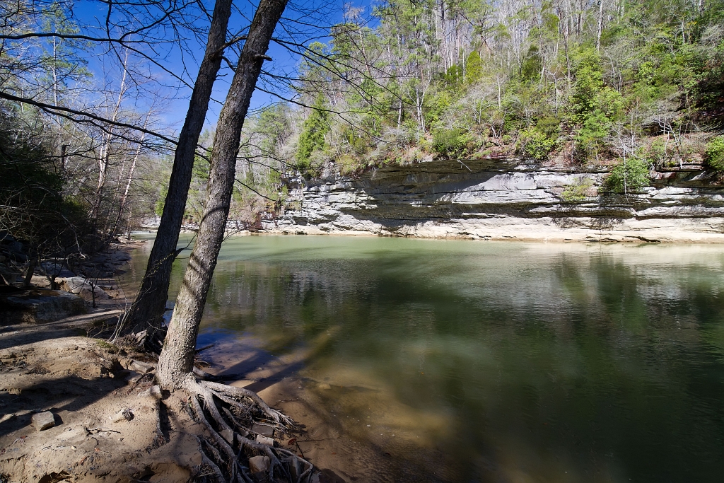
Heatherbrook Canyon
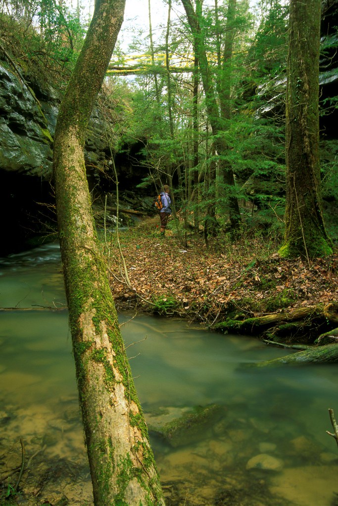
Heatherbrook Canyon
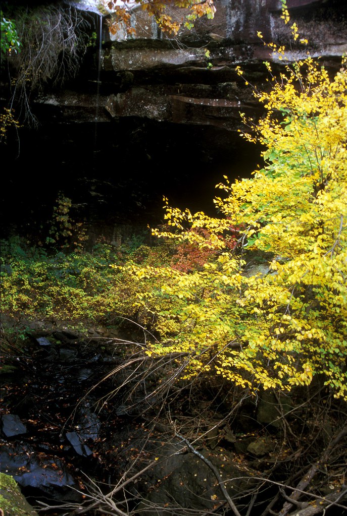
Fall City

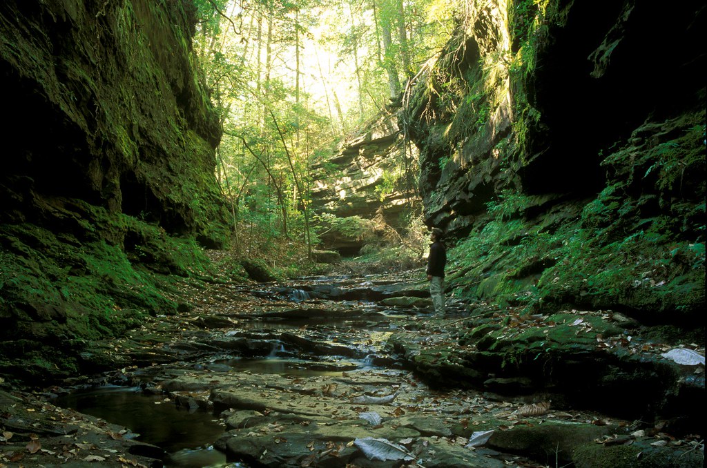
Rock Query Canyon

Heatherbrook Canyon

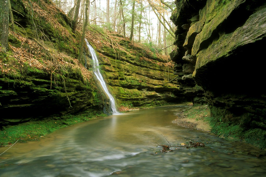
St. Christopher's Falls

Rock Query Canyon
Heatherbrook Canyon
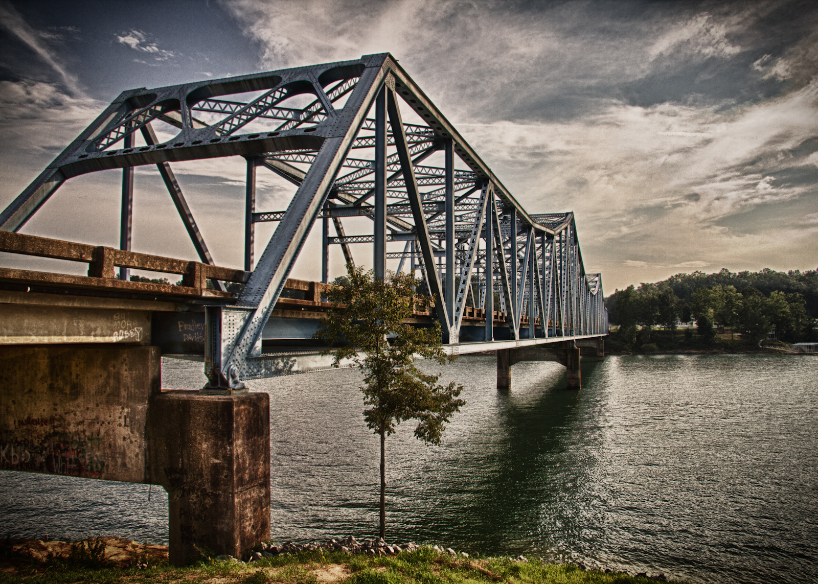
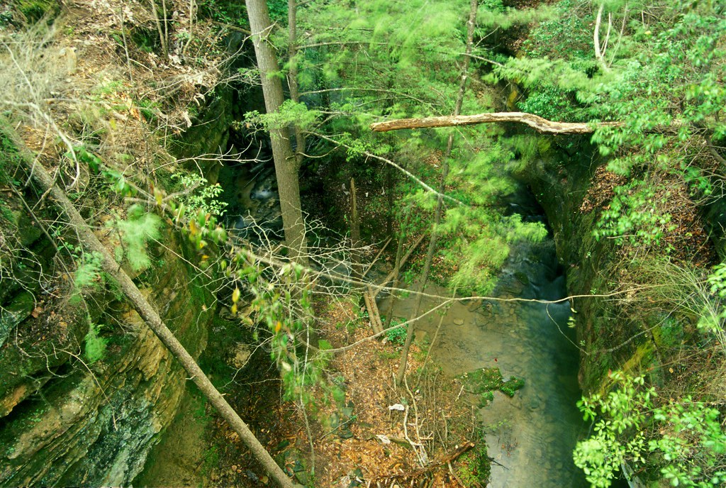
Day 46 - The Bridge
Lethe Brook
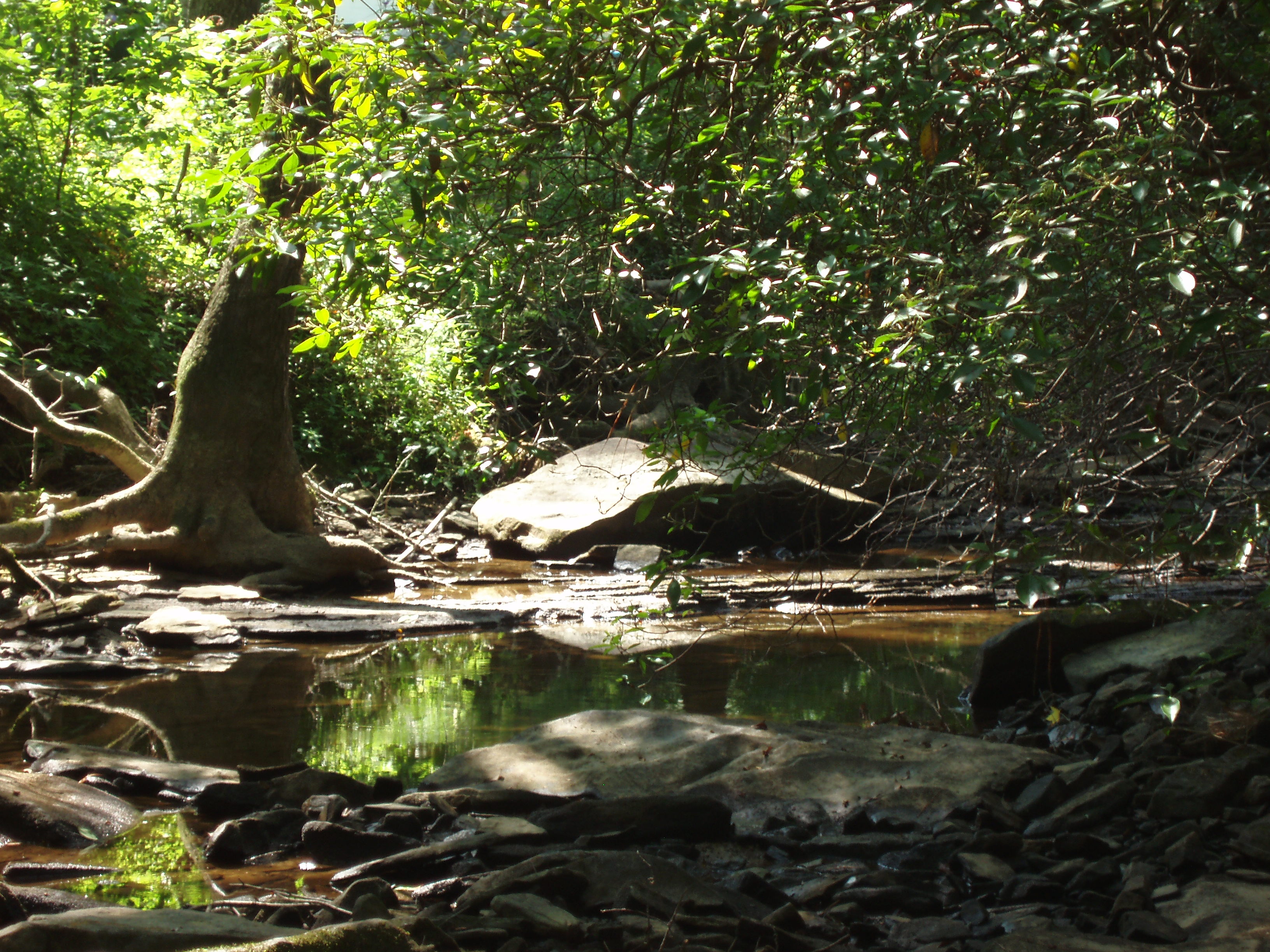
Rock Shelter
Lethe Brook

Corinth-3
3 leaf clover

Heatherbrook Canyon
Fallen Beech
Heatherbrook Canyon

Clear Creek
Upper Caney Creek Falls

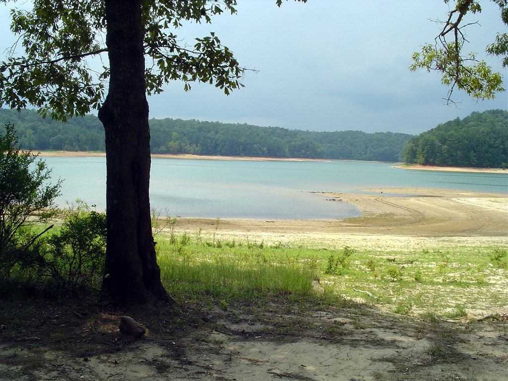
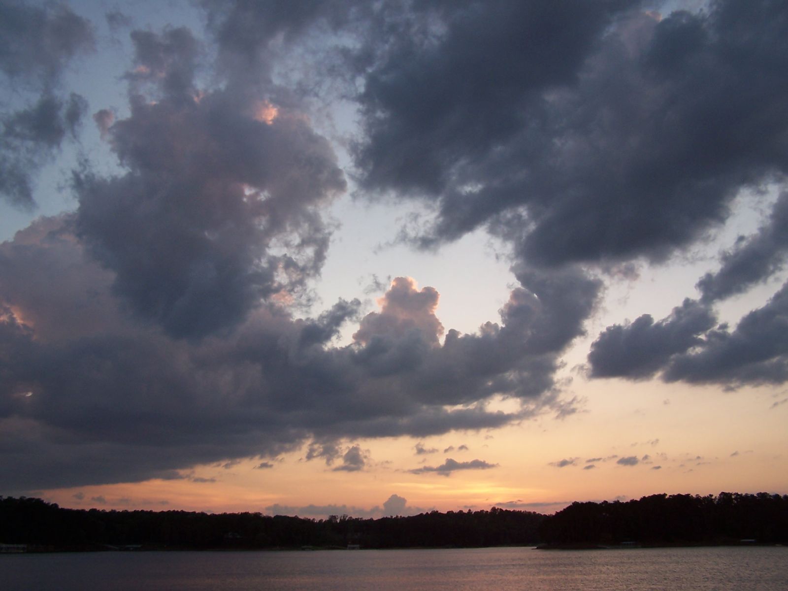
Smith Lake Sunrise 08302014

Hiking around Camp McDowell

Clear Creek
fall city birdhouse
clear creek
Topographic Map of Camp McDowell, Delong Road, Nauvoo, AL, USA
Find elevation by address:

Places near Camp McDowell, Delong Road, Nauvoo, AL, USA:
2430 Lamon Chapel Rd
10575 Al-5
541 Co Rd 329
Corinth Recreation Area (recgovnpsdata)
Jasper, AL, USA
Alexander Rd, Jasper, AL, USA
AL-, Jasper, AL, USA
Campground Road
Nauvoo
20401 Us-278
20401 Us-278
20401 Us-278
30 County Rd 165
30 County Rd 165
1094 Blake Dr
Double Springs
226 E Lakeshore Dr
364 E Lakeshore Dr
364 E Lakeshore Dr
364 E Lakeshore Dr
Recent Searches:
- Elevation of Corso Fratelli Cairoli, 35, Macerata MC, Italy
- Elevation of Tallevast Rd, Sarasota, FL, USA
- Elevation of 4th St E, Sonoma, CA, USA
- Elevation of Black Hollow Rd, Pennsdale, PA, USA
- Elevation of Oakland Ave, Williamsport, PA, USA
- Elevation of Pedrógão Grande, Portugal
- Elevation of Klee Dr, Martinsburg, WV, USA
- Elevation of Via Roma, Pieranica CR, Italy
- Elevation of Tavkvetili Mountain, Georgia
- Elevation of Hartfords Bluff Cir, Mt Pleasant, SC, USA