Elevation of Camp Lejeune, NC, USA
Location: United States > North Carolina > Onslow County >
Longitude: -77.401340
Latitude: 34.6250544
Elevation: 9m / 30feet
Barometric Pressure: 101KPa
Elevation Map:
Satellite Map:
Related Photos:
Topsail Island Fun

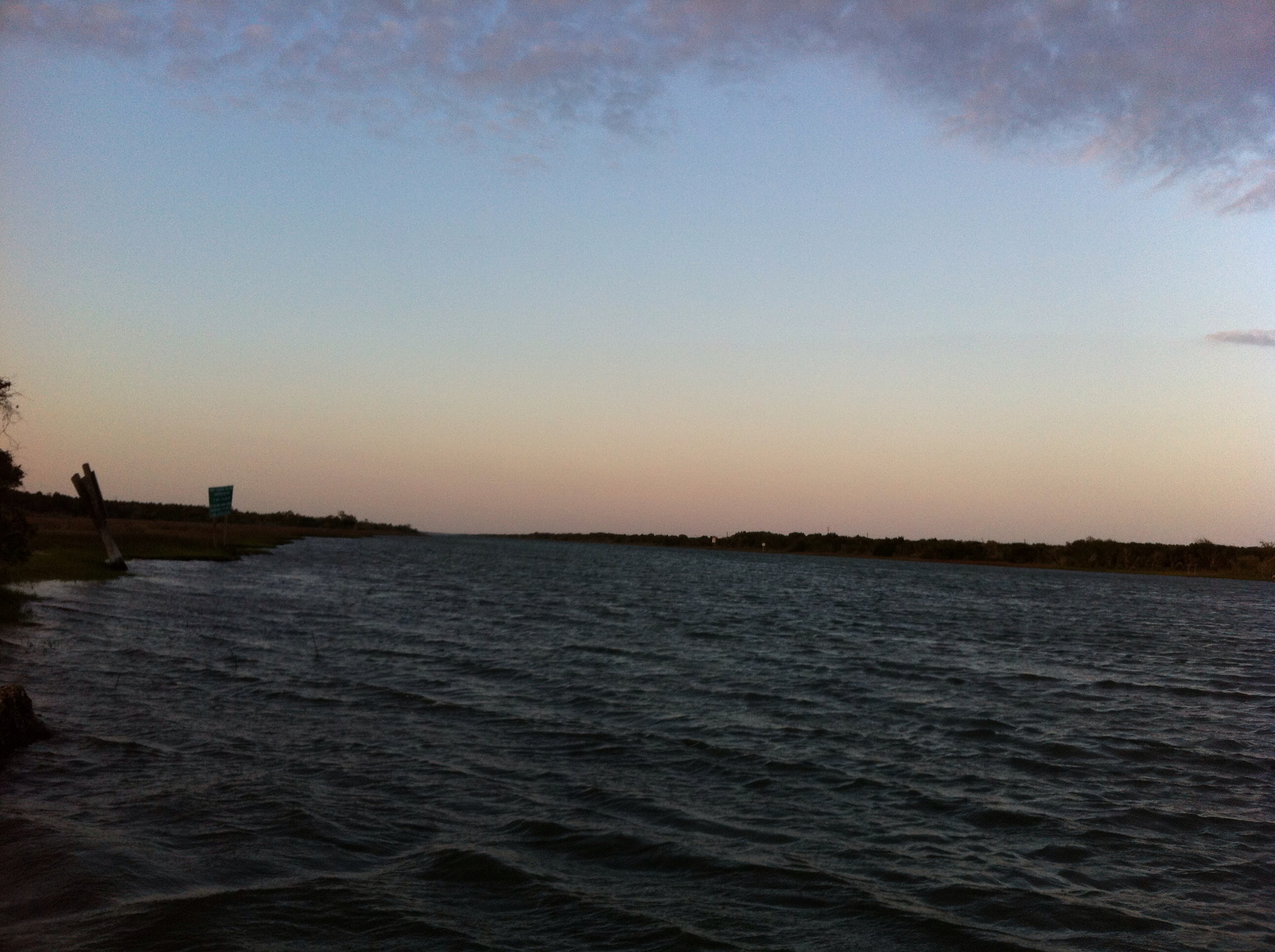
New River Sunrise
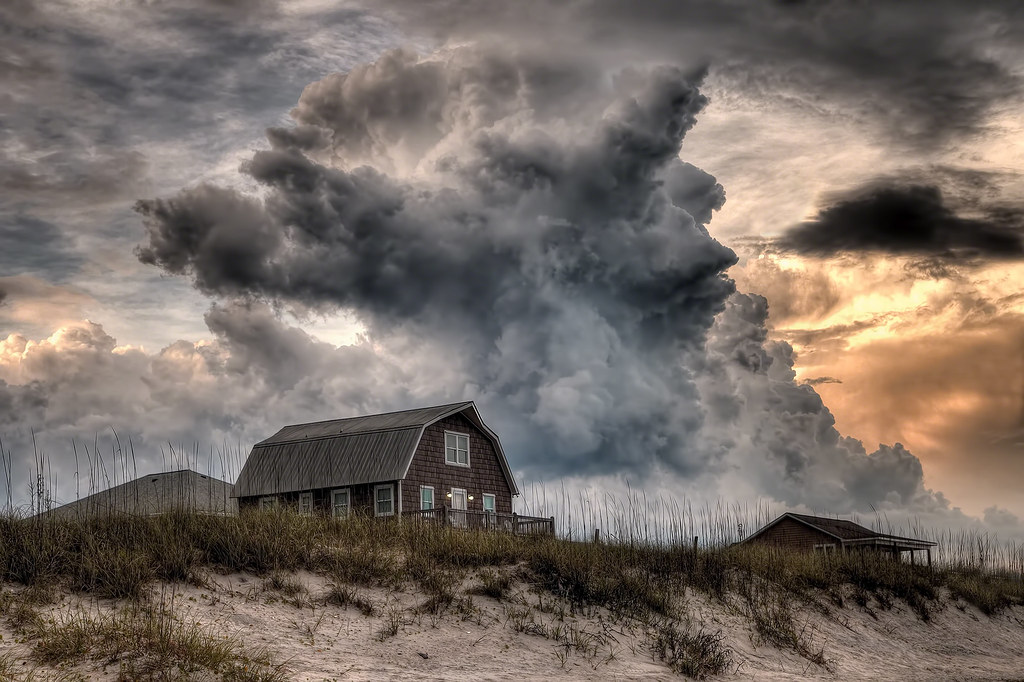
There's a Storm a Brewin'

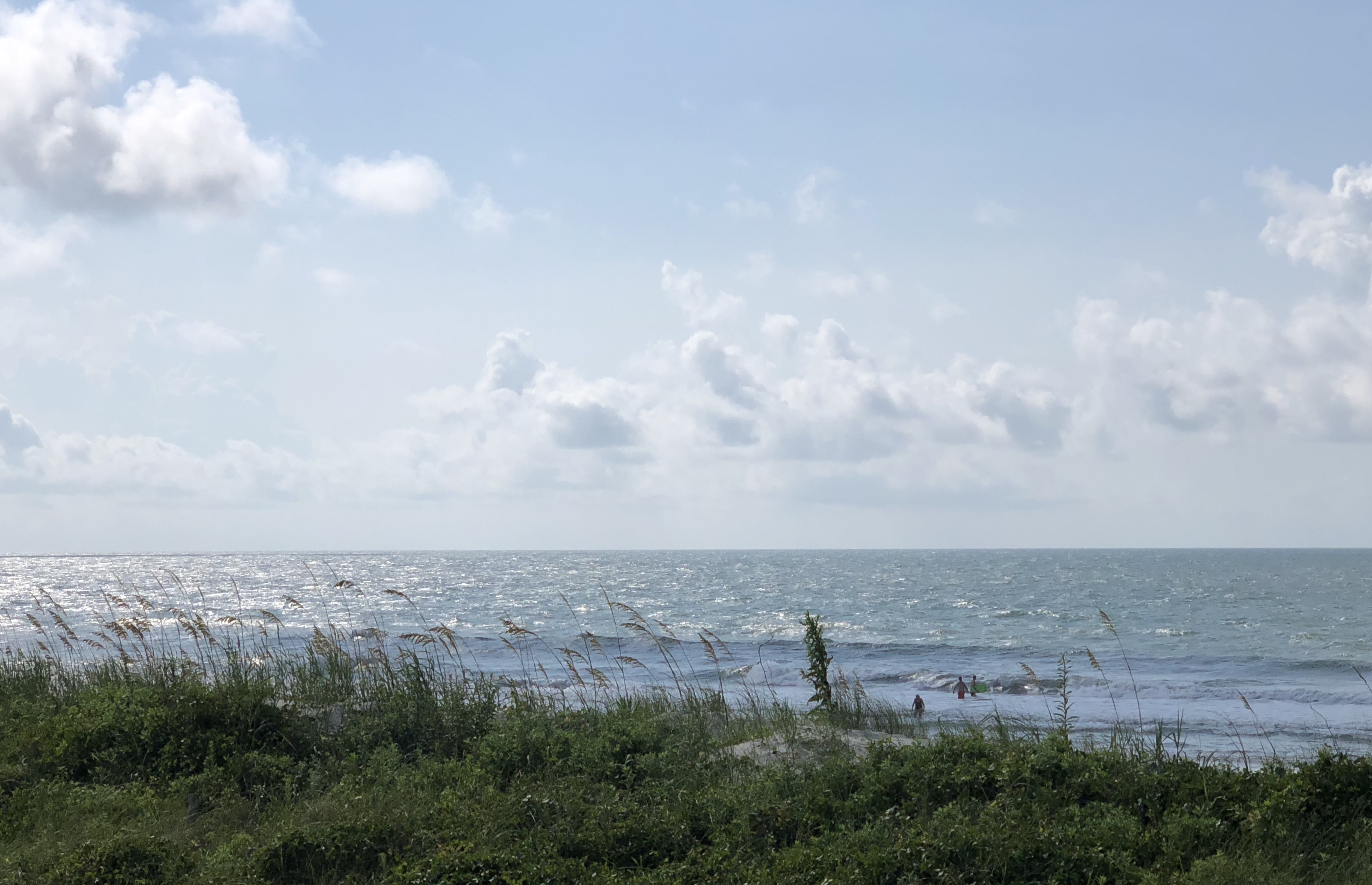
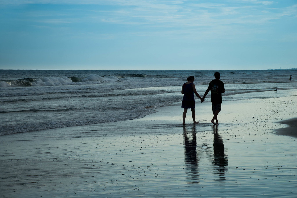
Sea View Rush
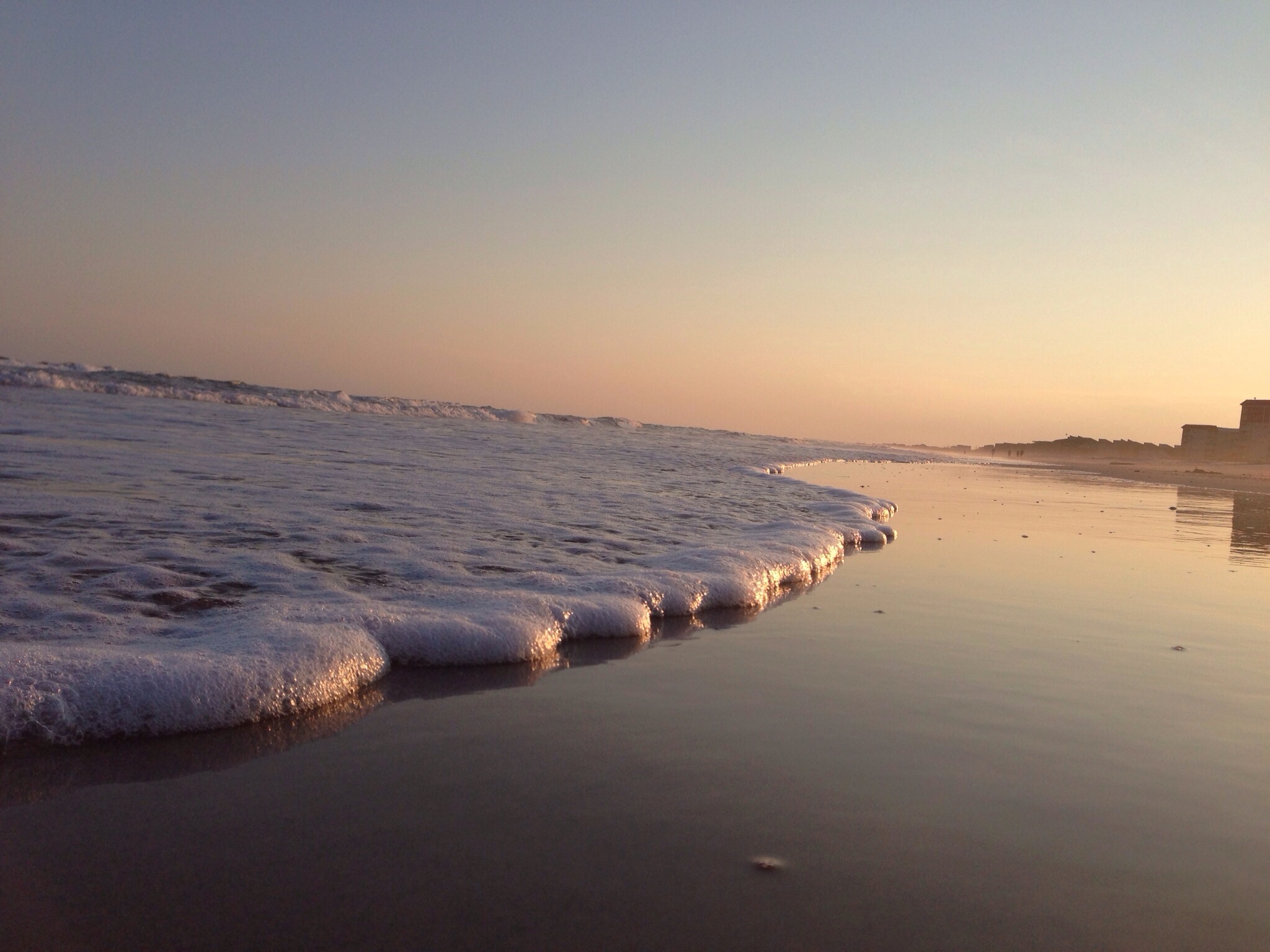
Alligator Bay Sunset

Camp Lejune All Points Inn
Topsail Beach, NC
NY & top sail
08-19-12 039
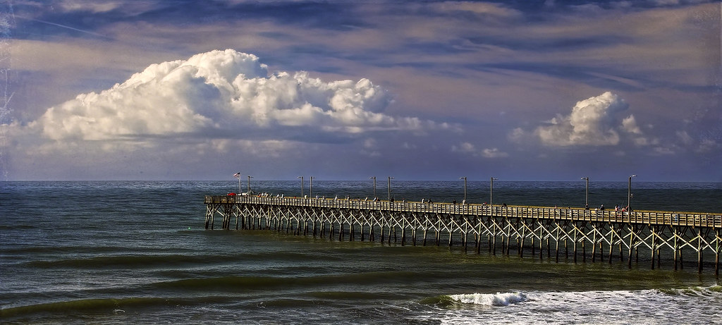
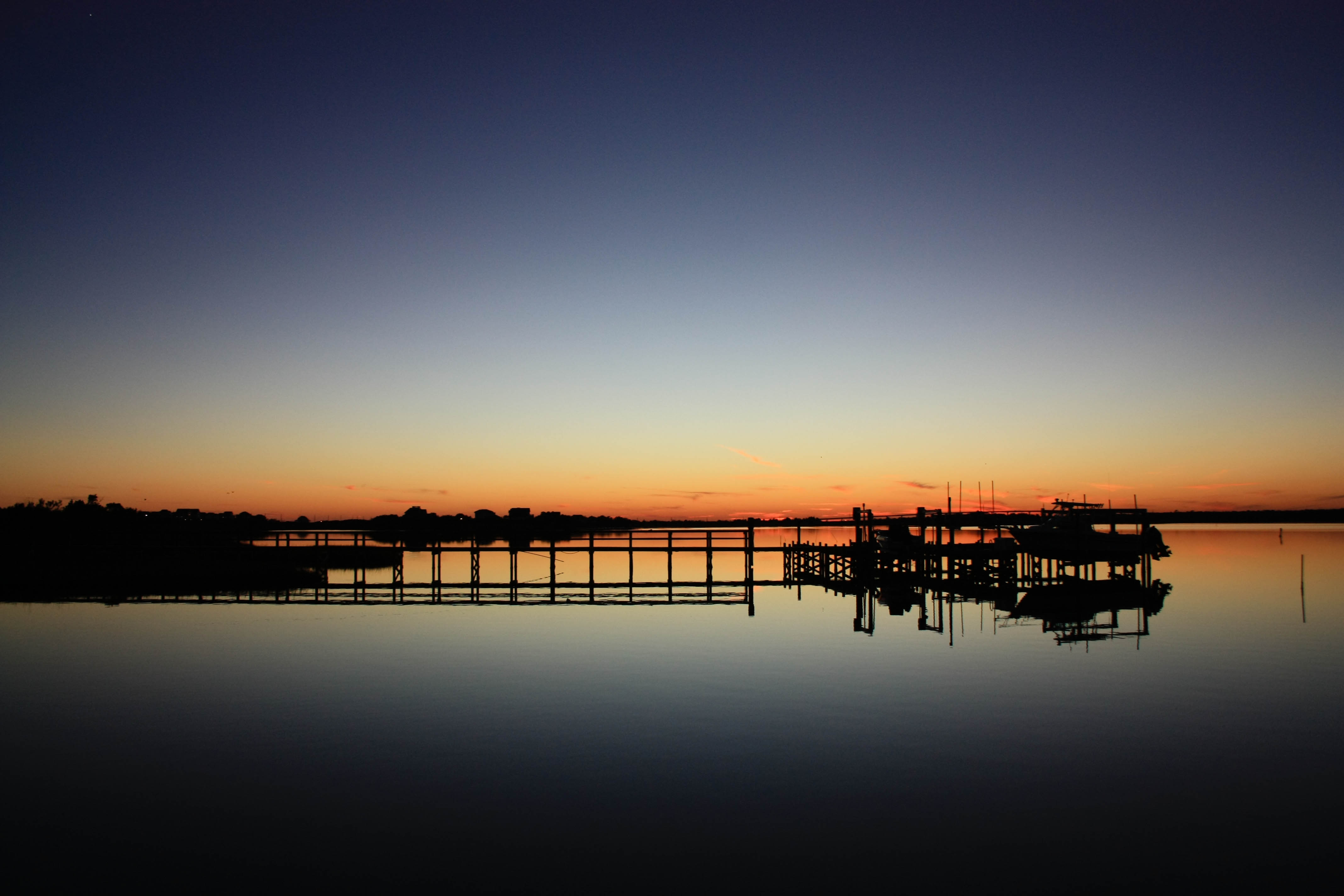
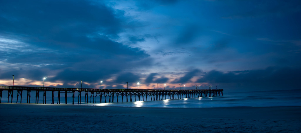
Pier-ing into the Distance
Sun sets
April-May 2013
08-24-12 018
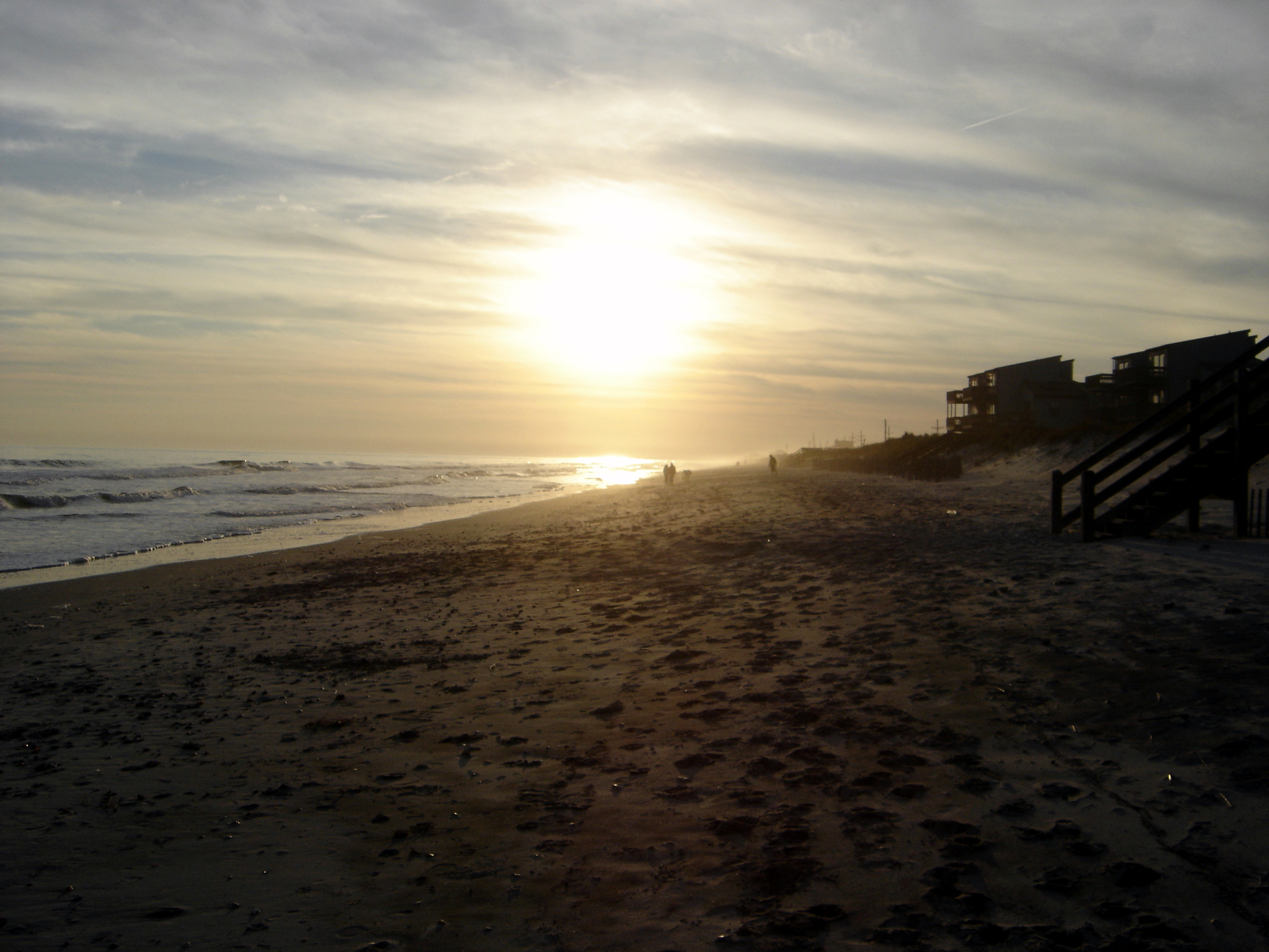
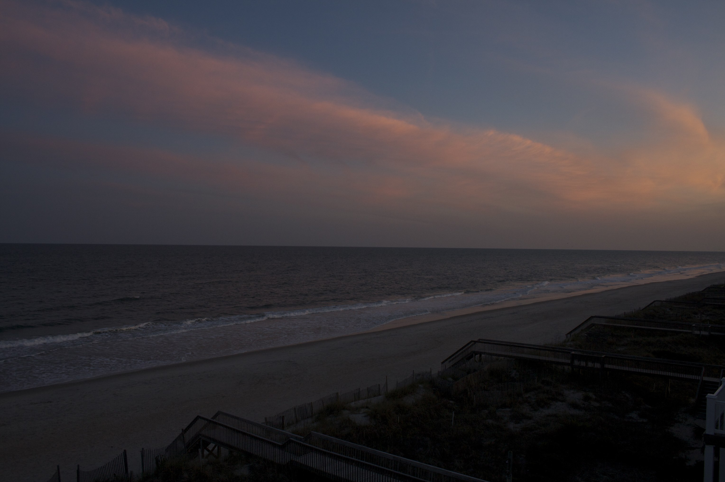
Sunset in Winter: North Topsail Beach, NC
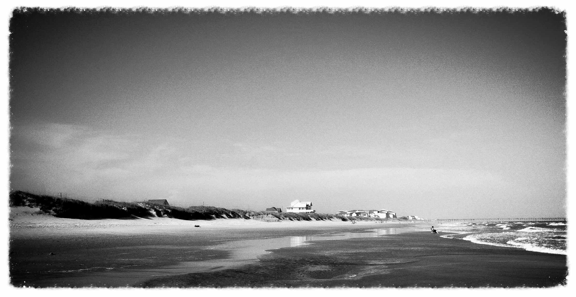
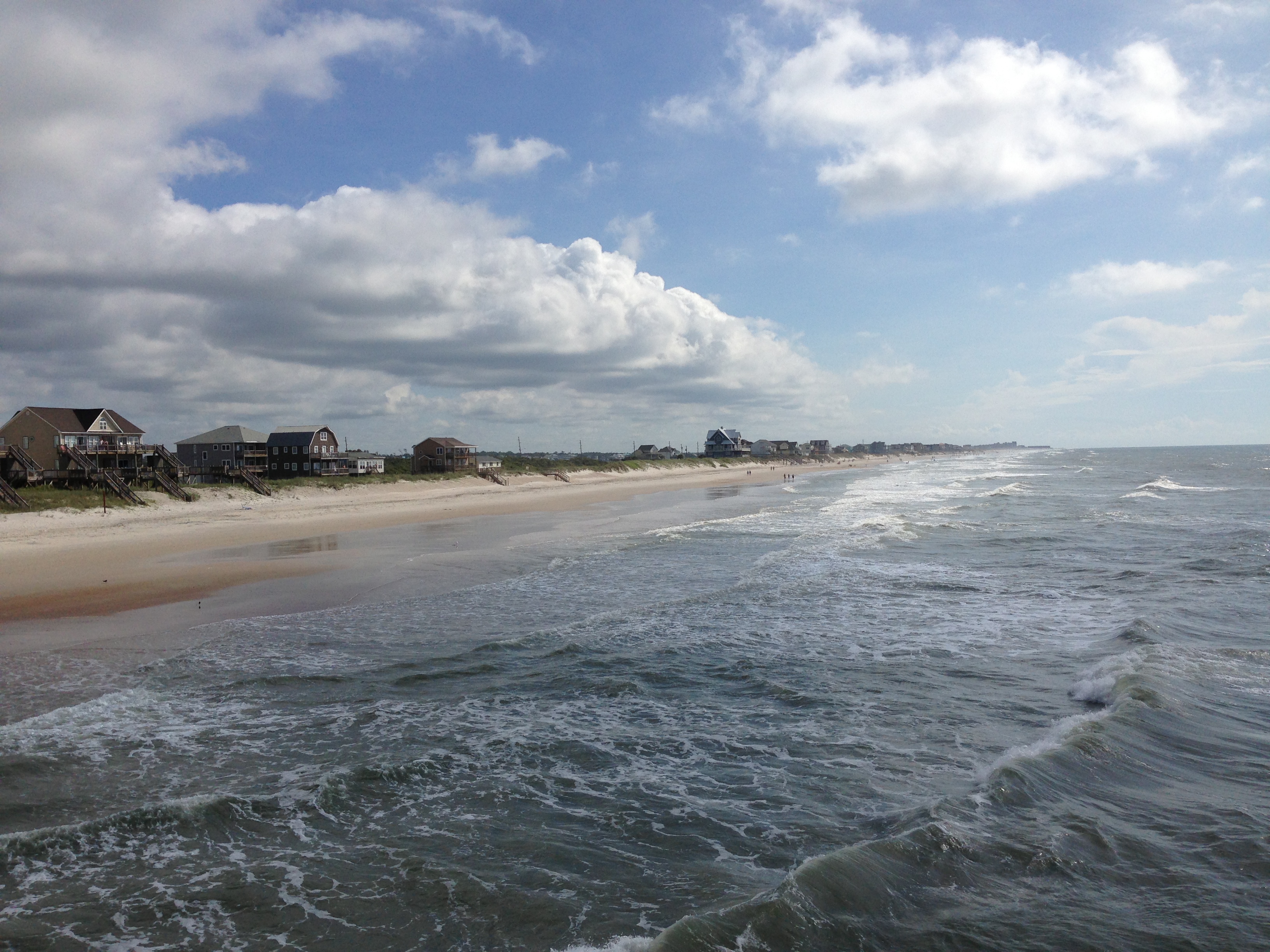
Surf City 8/2013
Topographic Map of Camp Lejeune, NC, USA
Find elevation by address:

Places near Camp Lejeune, NC, USA:
150 Old Ferry Rd
138 Gemstone Dr
2488 Nc-172
North Carolina 172
399 Fulcher Landing Rd
215 Owl Ln
102 Sterling Rd
198 Fulcher Landing Rd
Stillwater At Southbridge
504 Moore Landing Rd
Everett Yopp Drive
Sneads Ferry
181 Everett Yopp Dr
140 Dunn Rd
Charles Creek Road
428 Crows Nest Ln
1170 Ccc Rd
11 Eagles Nest Dr
1995 Nc-172
9 Eagles Nest Dr
Recent Searches:
- Elevation of Corso Fratelli Cairoli, 35, Macerata MC, Italy
- Elevation of Tallevast Rd, Sarasota, FL, USA
- Elevation of 4th St E, Sonoma, CA, USA
- Elevation of Black Hollow Rd, Pennsdale, PA, USA
- Elevation of Oakland Ave, Williamsport, PA, USA
- Elevation of Pedrógão Grande, Portugal
- Elevation of Klee Dr, Martinsburg, WV, USA
- Elevation of Via Roma, Pieranica CR, Italy
- Elevation of Tavkvetili Mountain, Georgia
- Elevation of Hartfords Bluff Cir, Mt Pleasant, SC, USA