Elevation of Camembert, France

Location: France > Normandy > Orne >

Longitude: 0.177487

Latitude: 48.893622

Elevation: 144m / 472feet

Barometric Pressure: 100KPa

Elevation Map:

elevation map of Camembert, France

Satellite Map:

Satellite map of Camembert, France

Related Photos:

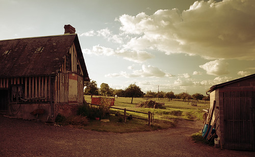
france barn french lumix countryside sunny panasonic g1 pancake 14mm saintgermaindemontgommery
Sunny Moment
france architecture ancient landmark historical chateau orne bassenormandie lowernormandy gacé mickyflick
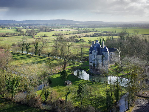
Gacé Chateau
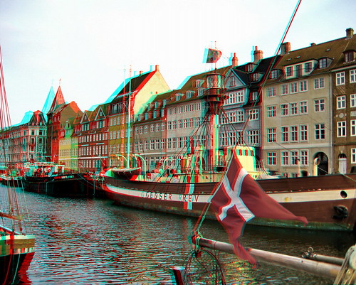
3d conversion anaglyph stereo
Copenhagen Nyhavn Street South
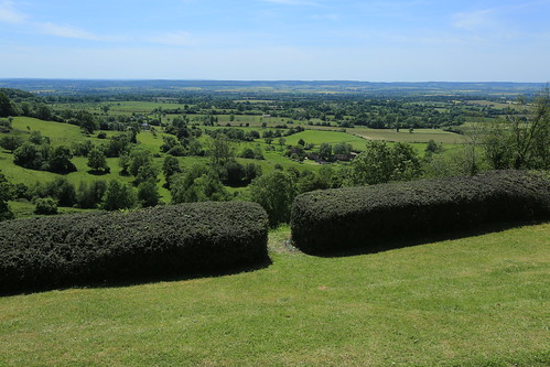
france geotagged fra orne montormel geo:lat=4883726651 geo:lon=014200542 memorialdemontormel
View from Hill 262 North
france landscape photo village normandy paysdauge calvados lisores
View from the Churchyard, Lisores
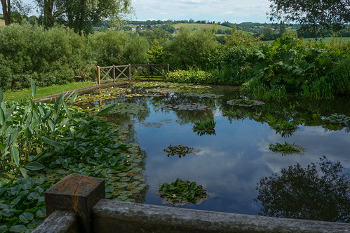
france gardens garden french pond view jardin monastery normandie cloister railing normandy jardins priory saintmichel prieuré crouttes
Prieuré Saint-Michel
france gardens garden french landscape village view jardin monastery normandie cloister normandy jardins priory saintmichel prieuré crouttes
Prieuré Saint-Michel
longexposure bw france church bulb night landscape countryside nikon nightshot nacht wideangle nighttime le normandie frankrijk portfolio normandy 2009 kerk eglise calvados gettyimages startrails zw sigma1020mm 10mm bassenormandie vle d80 verylongexposure nikond80 nachtplaat allardone niksilverefexpro allard1 stgermaindemontgommery mannenkoorsterrenspoor 1946s thatsalmost33minutes notfarfromtheholidayshack itzdemstartrailz allardschagercom
Oh shit, itz dem star trailz!
First Sunset 2015
normandie kap château kiteaerialphotography orne aubryenexmes
Château d'Aubry-en-Exmes (Orne-FR)
leicam42 summicron50mmf2 blackwhite landscape house farmhouse derelict saintgermaindemontgommery vimoutiers france film 35mmfilmcamera 35mmfilm 35mm rangefinder trees grass kodakd76 kodaktrix400 westonmasterv
Last Rays
sunlight france cow country normandie hdr camembert vache enio strobist
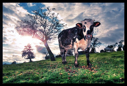
Une vache à Camembert
rural scenic ef50mmf14 beautyofdecay eos600d
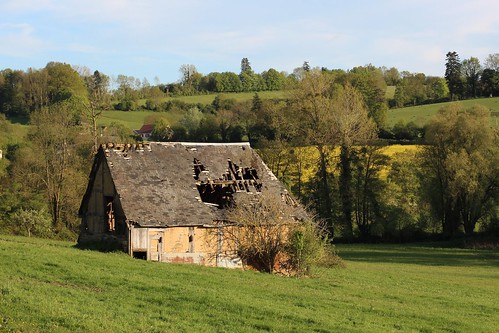
Vervallen schuur
D-Day tour
france normandie orne montormel pentax k3 1944
Mémorial de Montormel (4)
bpeinot
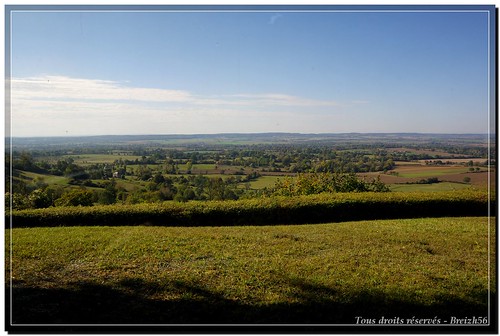
Panorama sans titre1
france travelling cycling normandie vélo cycletouring outforaspin vélotourisme ouestef
Chelmsford to Nantes
normandie kap kiteaerialphotography orne photographieaérienneparcerfvolant
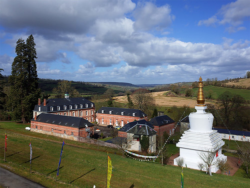
Temple boudhiste Vajradhara-Ling à Aubry le Panthou (61)
eglise st pierre dans le couloir de la mort mt ormel orne normandie bataille paysage
Eglise St Pierre Mt Ormel
france gardens garden french jardin monastery normandie cloister normandy jardins priory saintmichel prieuré crouttes
Prieuré Saint-Michel
wwii bataille de normandie dday couloir la mort poche falaise
Le couloir de la mort - Mt Ormel
sunset france green rural outdoors cow europe cattle farm farming normandy paddock 24105mm lowernormandy canon6d courménil justinhickling
Making Friends with Spectacles
normandie kap kiteaerialphotography orne trun photographieaérienneparcerfvolant
Trun (Orne-FR)
france normandie orne montormel pentax k3 1944
Mémorial de Montormel (6)
france gardens garden french jardin monastery normandie cloister normandy jardins priory saintmichel prieuré crouttes
Prieuré Saint-Michel
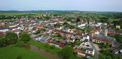
france europa europe fuji village finepix fujifilm normandie fr normandy francia fujinon calvados camembert normandia nationalgeographic paese villaggio bassenormandie worldcitycenters xt1 bassanormandia worldtrekker fujifilmxt1 fujixt1 fuji18135 fujinonxf18135 fujifilmfujinonxf18135mmf3556rlmoiswr
Normandie (France) - Camembert
france countryside normandie orville campagne normandy rambling countrywalks orne promenades randonées lepaysdauge
Touques valley | Around Orville-2