Elevation of Camaro Dr, Westminster, SC, USA
Location: United States > South Carolina > Oconee County > Westminster >
Longitude: -83.132113
Latitude: 34.65492
Elevation: 282m / 925feet
Barometric Pressure: 98KPa
Elevation Map:
Satellite Map:
Related Photos:
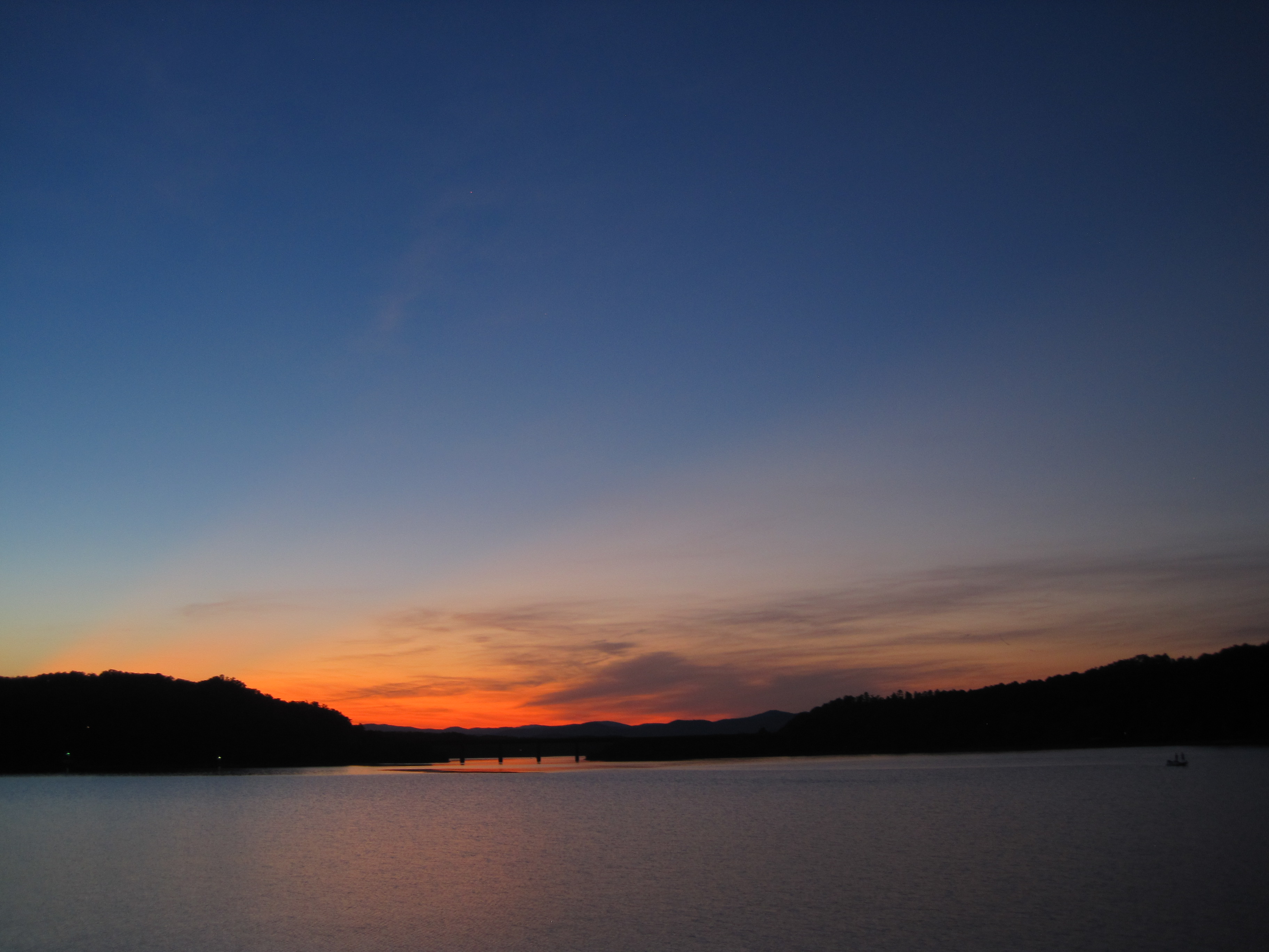
Settlin’ in for some night fishing on Lake Hartwell.

Traveler's Rest

31.365
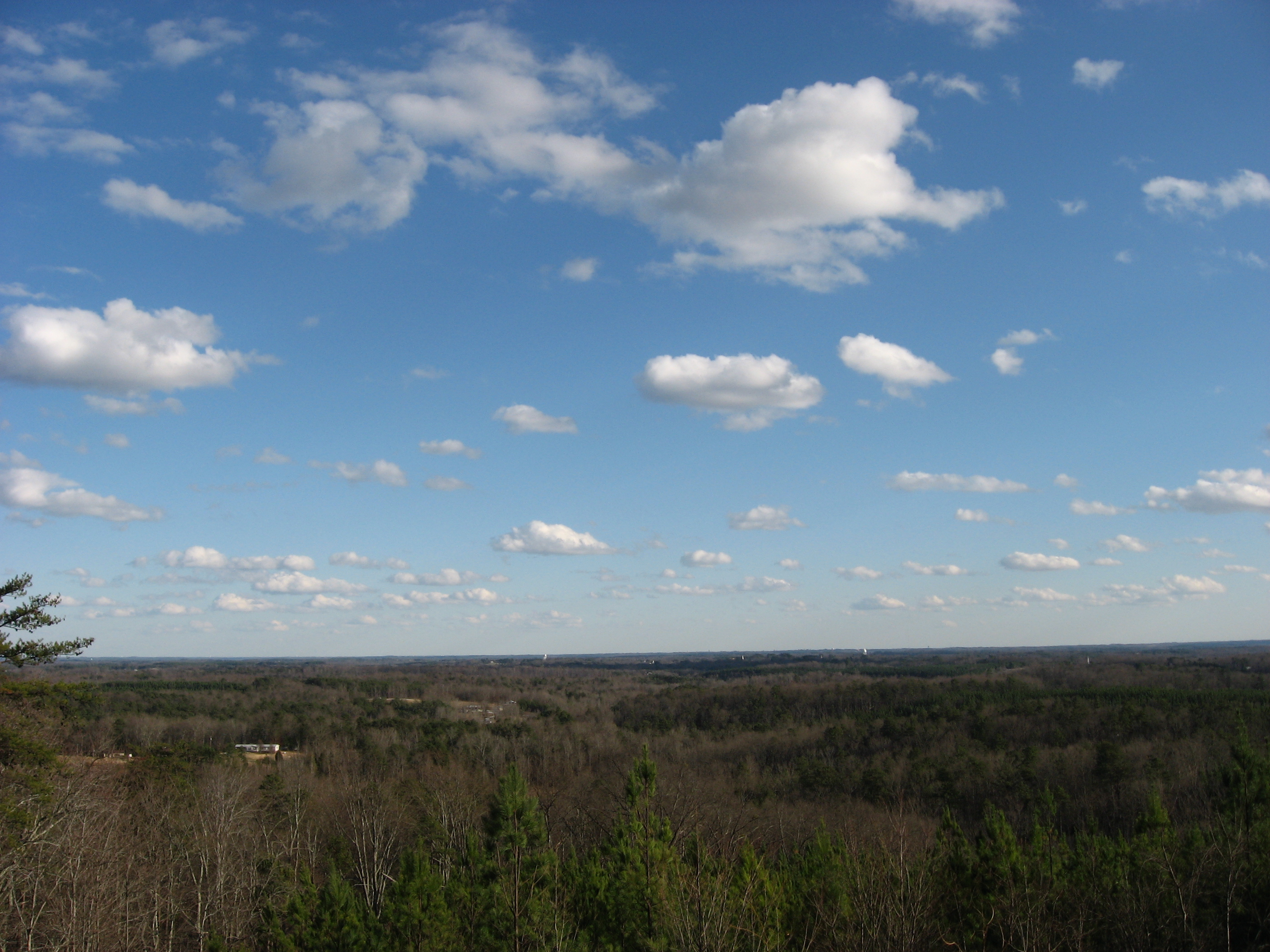
A fine prospect.
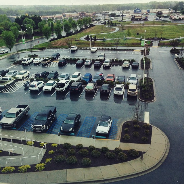
4/14/15-Up. View from up above the parking lot at the hospital. #fmsphotoaday #parkinglot #cars #rain #hospital #up
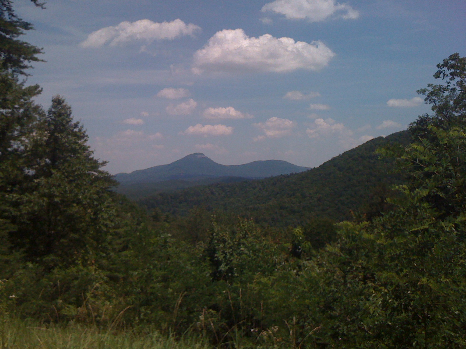
View of Yonah from Dukes Creek Falls Lot
Pointing Toward Heaven
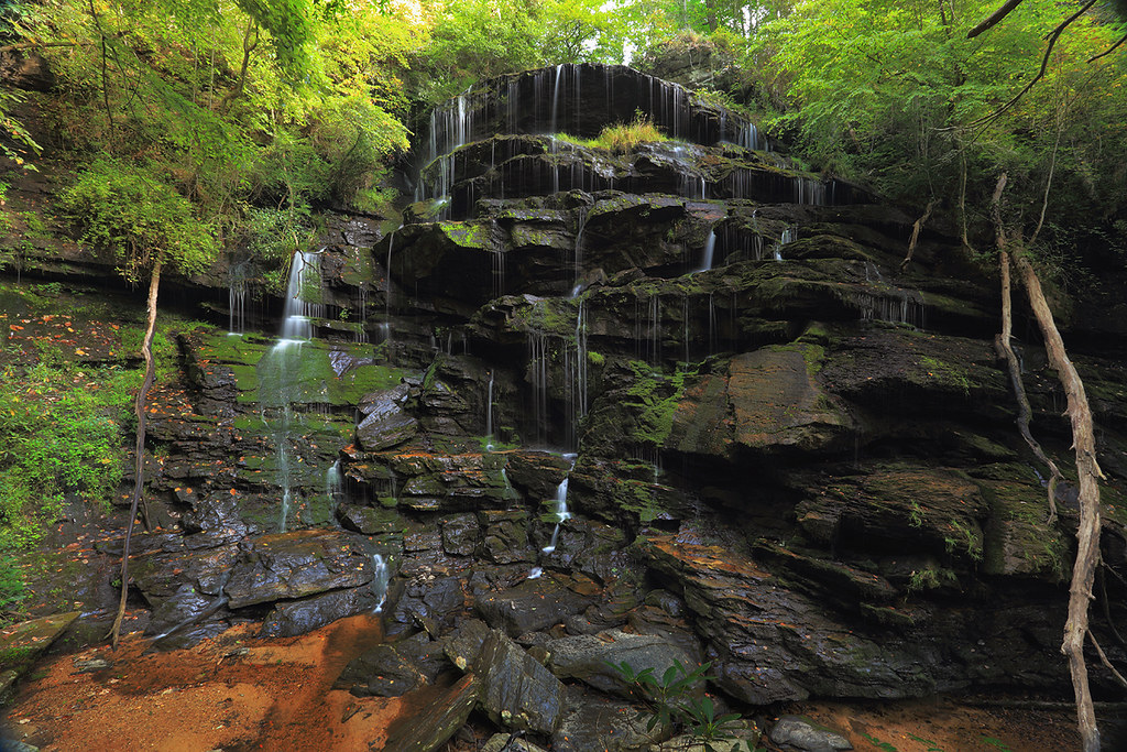
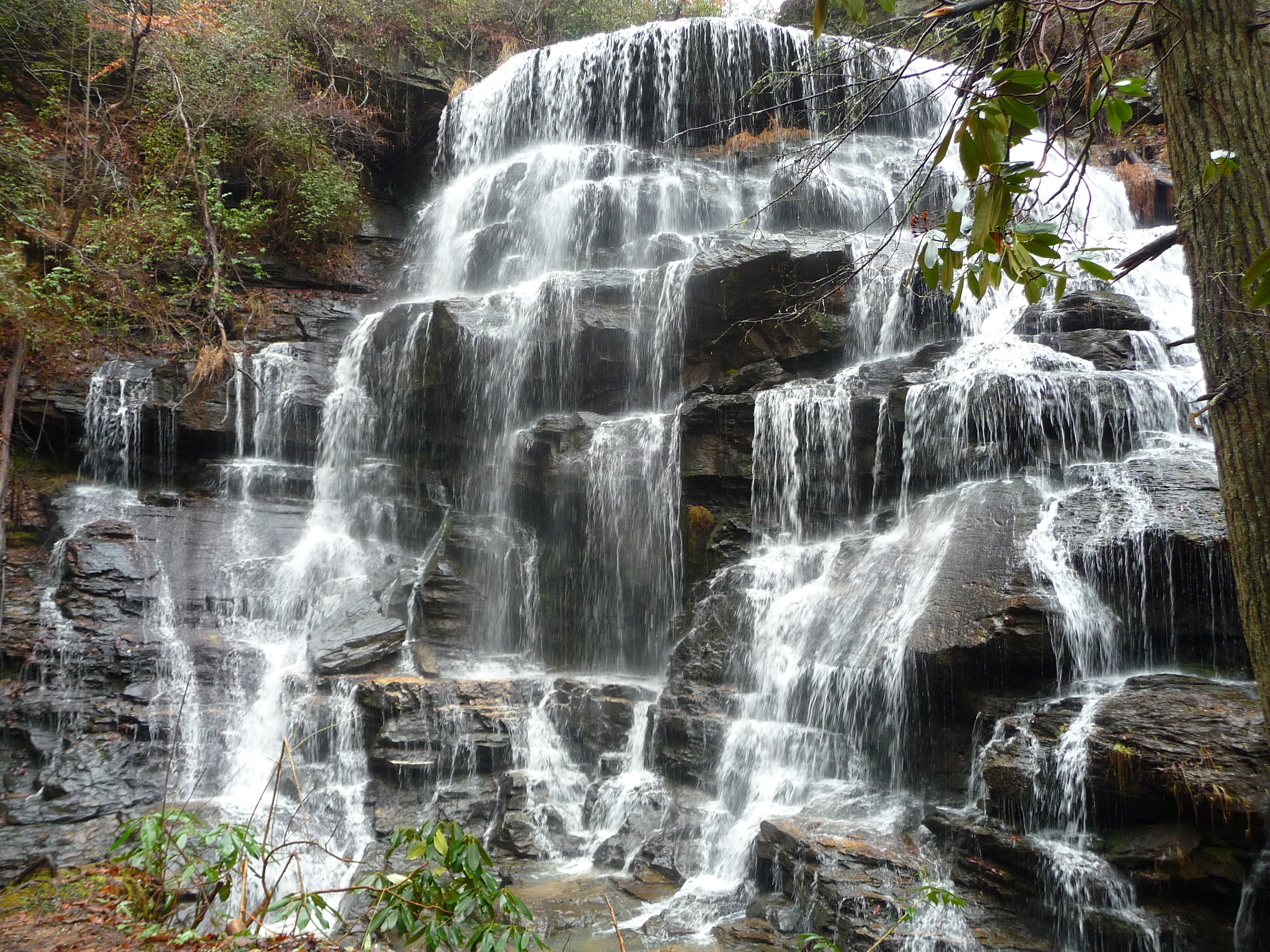
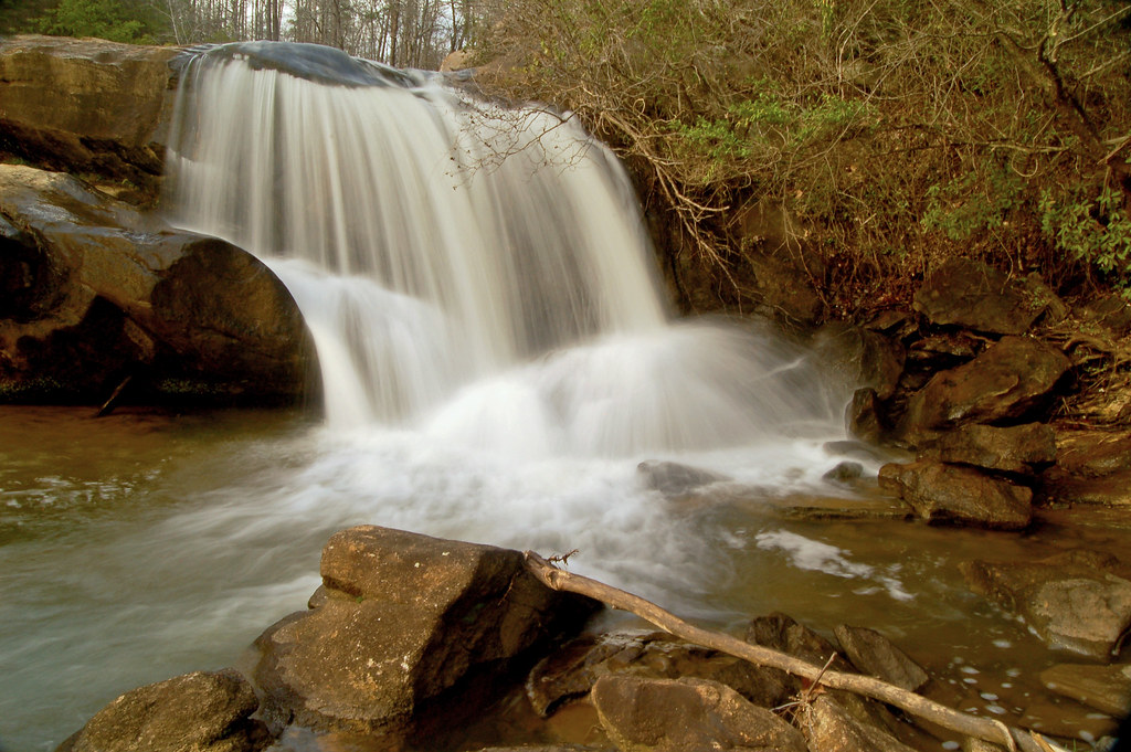
Yellow Branch falls
Yellow Branch Falls
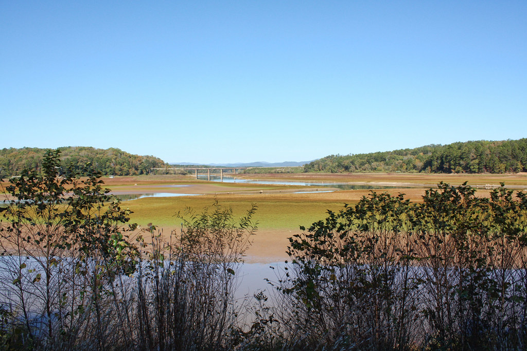
Tugaloo River

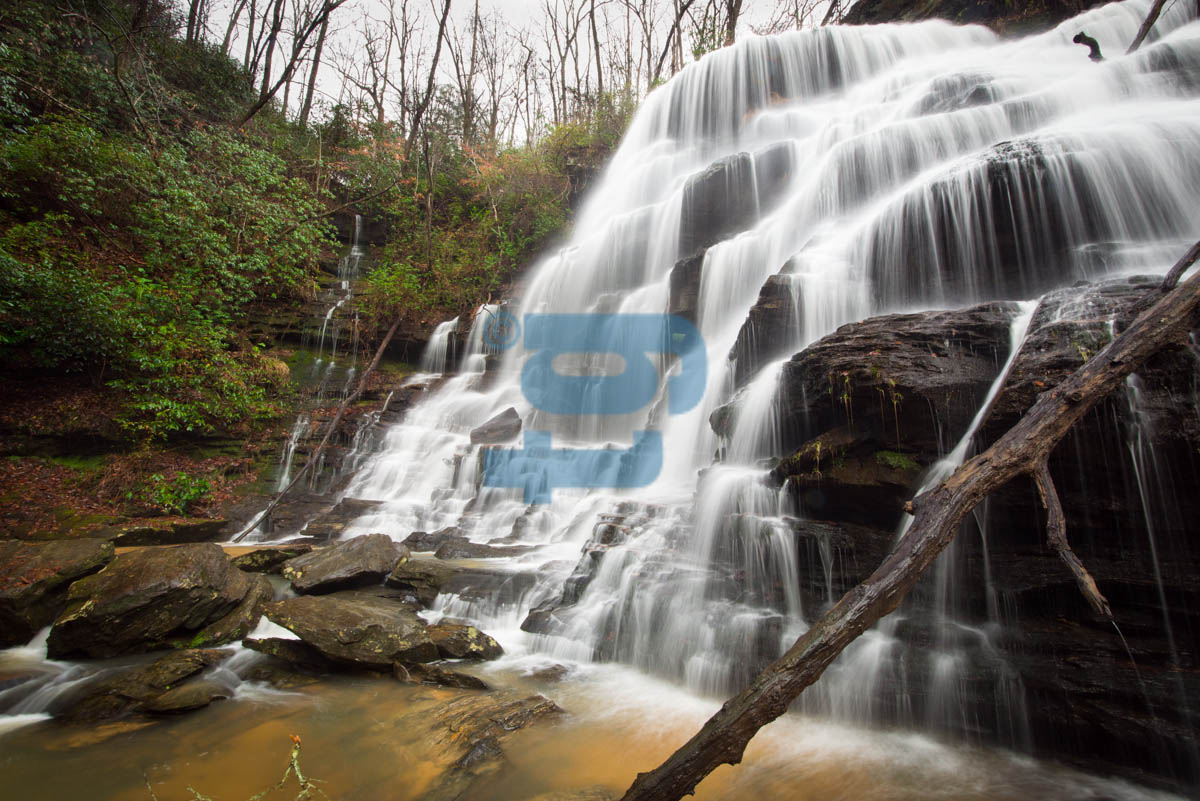
brasstown falls (225)
Yellow Branch Falls
Crow Creek Falls-Toby Gant_DSC0981_2013
Ramsey Creek
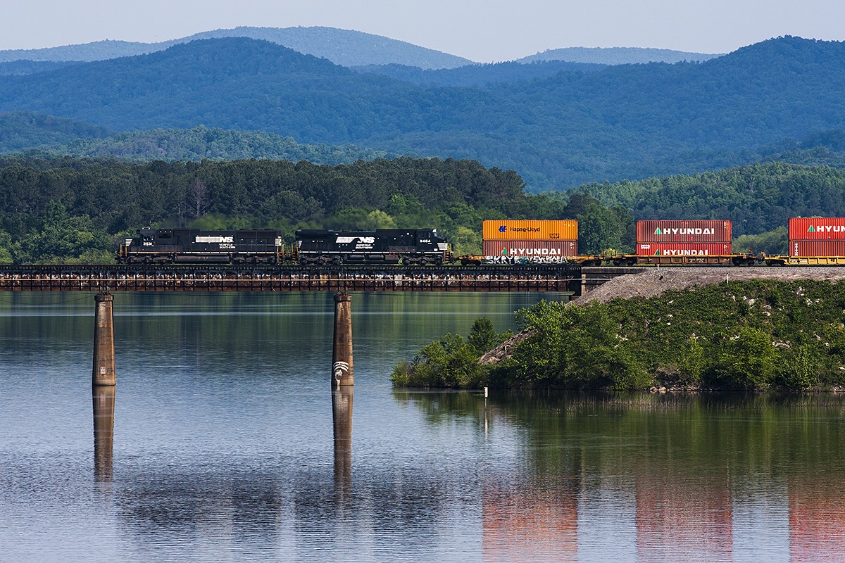
NS 2531
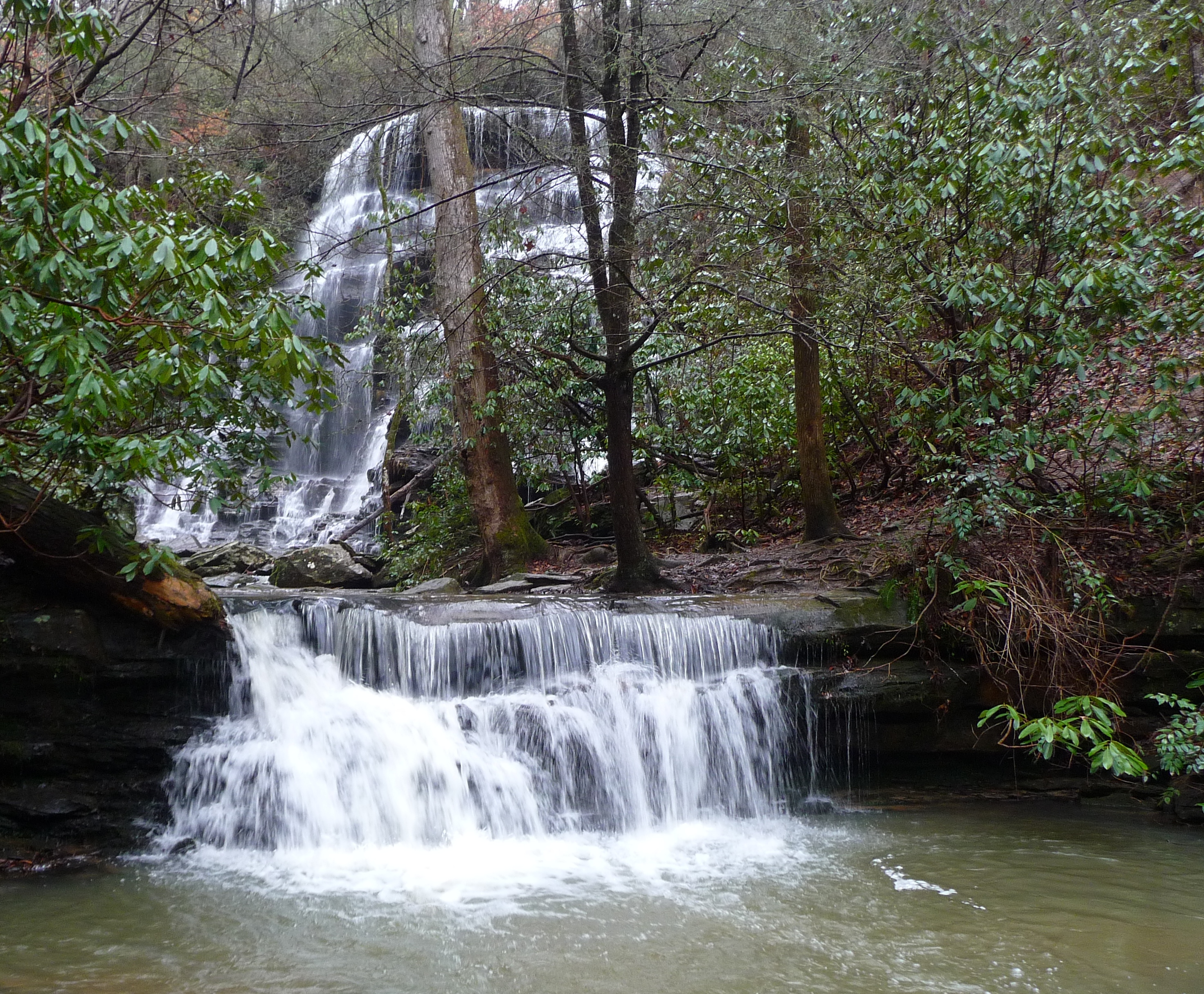
Ramsey Fall

No bend in sight

IMG_20130526_151327.jpg

Blue Hole Falls (2)

Yellow Branch Falls (13)
IMG_20130526_152132.jpg

IMG_20130526_153124.jpg

autumn road

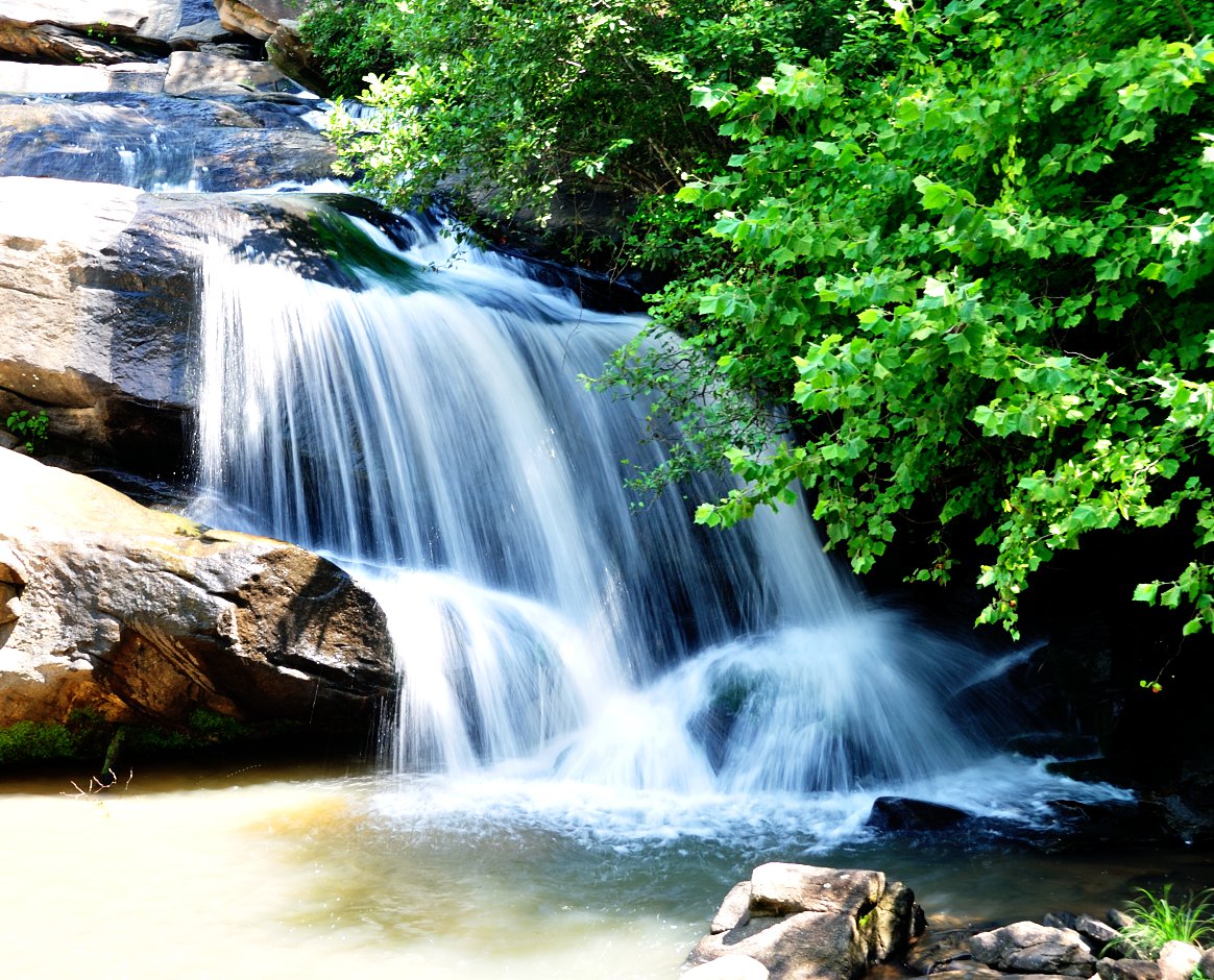
Hooker Falls
No bend in sight
Brasstown Falls Trail

Lee Falls-14.jpg
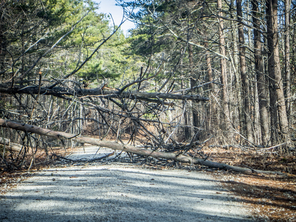
Blocked Road
Topographic Map of Camaro Dr, Westminster, SC, USA
Find elevation by address:

Places near Camaro Dr, Westminster, SC, USA:
242 Weldon Rd
220 Pickens Rd
328 Weldon Rd
Chau Ram County Park
422 Doyle St
Westminster
N Piedmont St, Westminster, SC, USA
178 Ramsey Creek Rd
Rich Mountain Road
New Madison Rd, Westminster, SC, USA
125 Our Pl Dr
135 P U 31
455 Mill Shoals Rd
Rocky Fork Road
Bountyland Rd, Westminster, SC, USA
344 River Rd
205 W Woodland Dr
315 Laurel Hill Dr
315 Laurel Hill Dr
Walhalla
Recent Searches:
- Elevation of Corso Fratelli Cairoli, 35, Macerata MC, Italy
- Elevation of Tallevast Rd, Sarasota, FL, USA
- Elevation of 4th St E, Sonoma, CA, USA
- Elevation of Black Hollow Rd, Pennsdale, PA, USA
- Elevation of Oakland Ave, Williamsport, PA, USA
- Elevation of Pedrógão Grande, Portugal
- Elevation of Klee Dr, Martinsburg, WV, USA
- Elevation of Via Roma, Pieranica CR, Italy
- Elevation of Tavkvetili Mountain, Georgia
- Elevation of Hartfords Bluff Cir, Mt Pleasant, SC, USA