Elevation of Calle 14, Dzoncauich, Dzoncauich, Yuc., Mexico
Location: Mexico > Yucatan >
Longitude: -88.888934
Latitude: 21.1273617
Elevation: 10m / 33feet
Barometric Pressure: 101KPa
Elevation Map:
Satellite Map:
Related Photos:
The road to Tizimín, sunrise

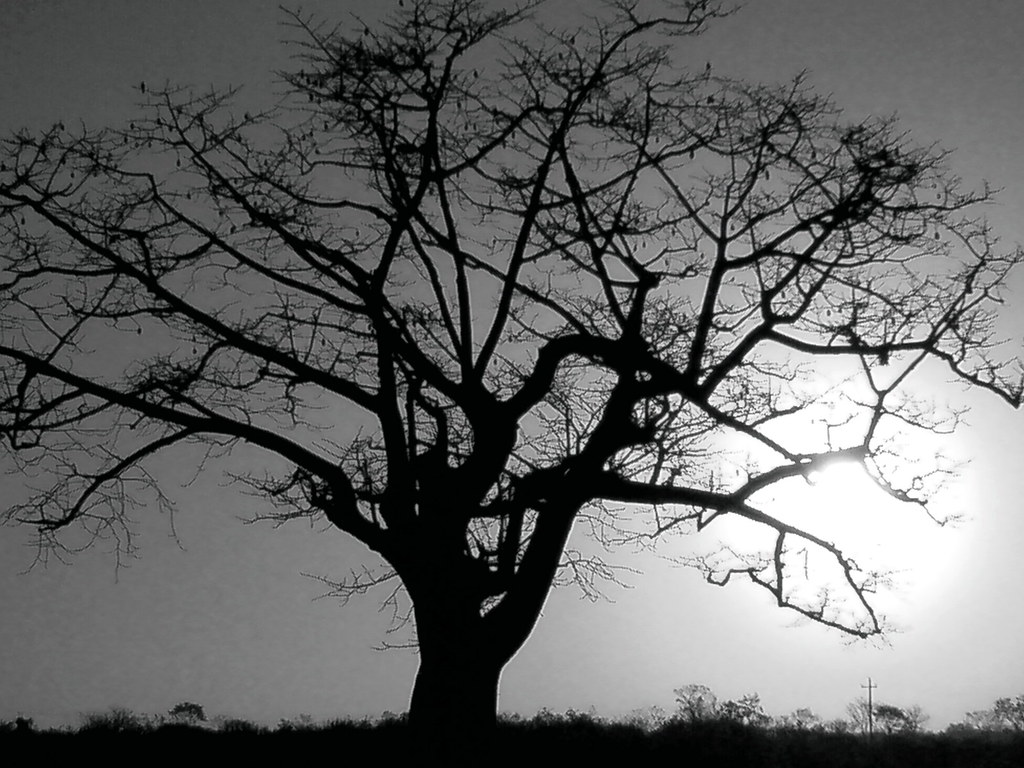
Pure color!!

Pure color!!

Pure color!!
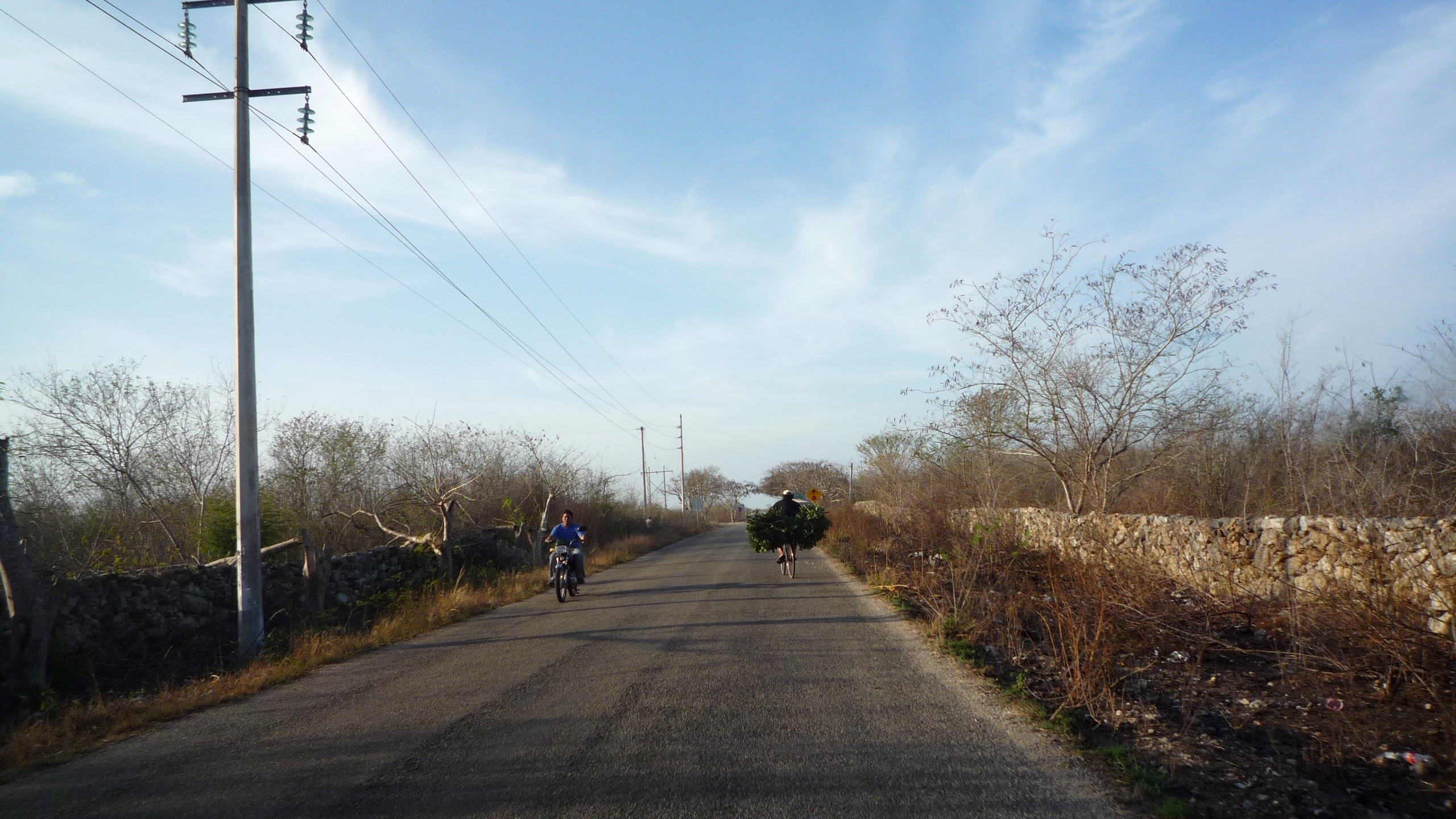
Early Morning Traffic
Topographic Map of Calle 14, Dzoncauich, Dzoncauich, Yuc., Mexico
Find elevation by address:

Places near Calle 14, Dzoncauich, Dzoncauich, Yuc., Mexico:
Calle 19, Ejido del Centro, Yuc., Mexico
Temax - Cansahcab 12, Yucatán, Mexico
Dzidzantún
Cansahcab Municipality
Yobaín
Yobaín
100d
Yobaín
Santa Clara
YUC 27, Santa Clara, Yuc., Mexico
Calle 21 98, Sinanché, Sinanché, Yuc., Mexico
Telchac
Calle 21 88
Telchac Pueblo
Motul
Calle 20, Telchac, Yuc., Mexico
Telchac
Calle 21 99, Dzemul, Yuc., Mexico
Baca
160a
Recent Searches:
- Elevation of Corso Fratelli Cairoli, 35, Macerata MC, Italy
- Elevation of Tallevast Rd, Sarasota, FL, USA
- Elevation of 4th St E, Sonoma, CA, USA
- Elevation of Black Hollow Rd, Pennsdale, PA, USA
- Elevation of Oakland Ave, Williamsport, PA, USA
- Elevation of Pedrógão Grande, Portugal
- Elevation of Klee Dr, Martinsburg, WV, USA
- Elevation of Via Roma, Pieranica CR, Italy
- Elevation of Tavkvetili Mountain, Georgia
- Elevation of Hartfords Bluff Cir, Mt Pleasant, SC, USA