Elevation of Calabogie Rd, Calabogie, ON K0J 1H0, Canada

Location: Canada > Ontario > Renfrew County > Greater Madawaska > Calabogie >

Longitude: -76.725879

Latitude: 45.3023039

Elevation: 165m / 541feet

Barometric Pressure: 99KPa

Elevation Map:

elevation map of Calabogie Rd, Calabogie, ON K0J 1H0, Canada

Satellite Map:

Satellite map of Calabogie Rd, Calabogie, ON K0J 1H0, Canada

Related Photos:

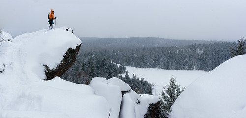
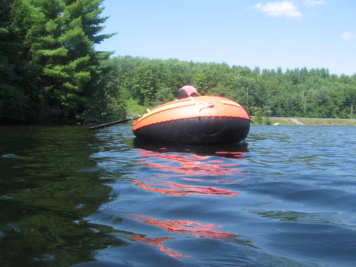
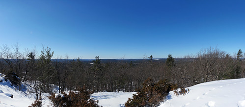
panorama ontario canada hike calabogie kfavourite
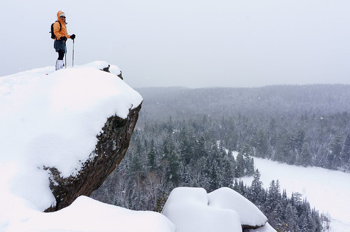
At the Eagle's Nest
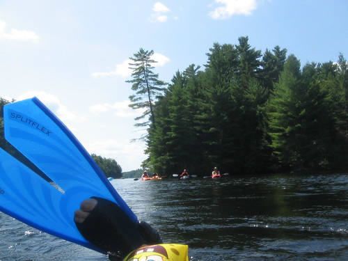
geotagged steve calabogie madriverfloat geo:lat=453294544411763 geo:lon=766669131411765
Found Another Floater
geotagged steve calabogie madriverfloat geo:lat=453207639695652 geo:lon=766839686826091
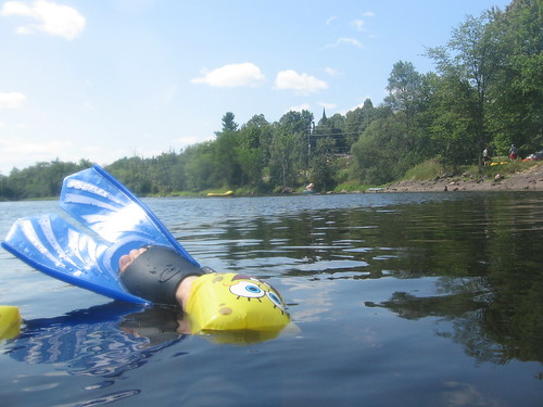
Flipper Shot
geotagged steve calabogie madriverfloat geo:lat=453230369621619 geo:lon=76677028545945
Shot from Underwater
geotagged steve calabogie madriverfloat geo:lat=45321674054547 geo:lon=766810599545447
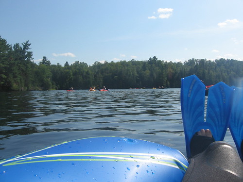
Beautiful Day
geotagged steve calabogie madriverfloat geo:lat=45324309207692 geo:lon=766748721846157
Aquabob, Again
geotagged steve calabogie madriverfloat geo:lat=453212455126205 geo:lon=766844115029126
Looking back to Shore
geotagged steve calabogie madriverfloat geo:lat=453207385117651 geo:lon=76684782288235
Trying the Camera
geotagged steve calabogie madriverfloat geo:lat=453241849117656 geo:lon=766749529882333
Skimming the Surface
ontario canada hike calabogie
At the Eagle's Nest
geotagged steve calabogie madriverfloat geo:lat=453230162054054 geo:lon=76676948464865
Water Shot
geotagged steve calabogie madriverfloat geo:lat=45321182366988 geo:lon=76684412507767
Wet Suit? Check.
geotagged steve calabogie madriverfloat geo:lat=453208514005291 geo:lon=76683738510053
Underwater Shot
geotagged steve calabogie madriverfloat geo:lat=453242477666669 geo:lon=766736922333331
Okay, One More
geotagged steve calabogie madriverfloat geo:lat=453208503550265 geo:lon=766837810455023
Jim Catching Up
panorama ontario canada
Calabogie Peaks
geotagged steve calabogie madriverfloat geo:lat=453220496099998 geo:lon=766804610100004
Moving Past 1st Island
geotagged steve calabogie madriverfloat geo:lat=453290843611117 geo:lon=766672814166662
Taking a Break
panorama ontario canada kfavourite
Calabogie Peaks
ontario canada hike calabogie
At the Eagle's Nest
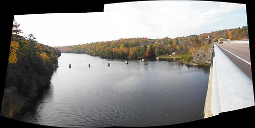
bridge autostitch panorama ontario canada nikon autumncolours autumncolors burnstown madawaskariver renfrewcounty
Madawaska River panorama : Autostitch
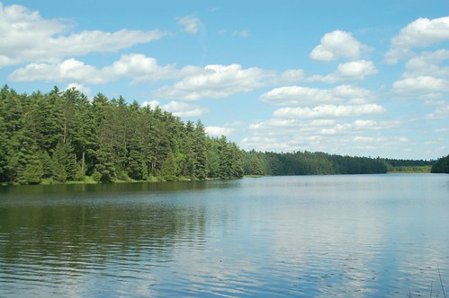
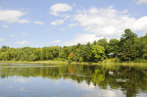
View of Calabogie Lake
camping darlinglonglake
Darling Long Lake by day
ontario canada kfavourite
Calabogie Peaks
ontario canada hike calabogie
Eagle's Nest colours
ontario canada flickr misc scenic sharing fallcolours workflow burnstown ipad descriptive reviewstatus jfcollection
20121007-_DSC4596-
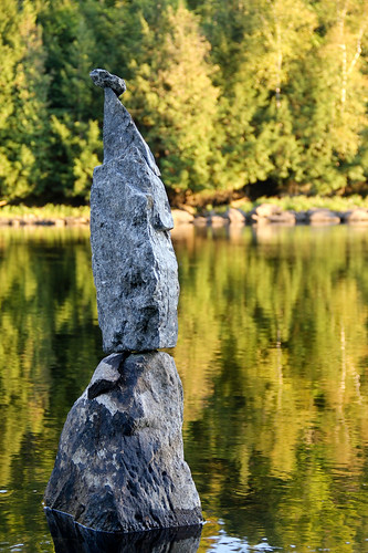
sunset ontario water rural reflections landscape southernontario calabogieontario 201109geophysfieldschool
Balanced rocks at sunset
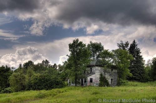
house ontario canada abandoned rural farm springtown norwaylake oncewashome
Abandoned farm near Springtown, Ontario
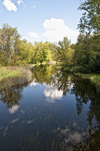
water clouds creek reflections
Pats Creek
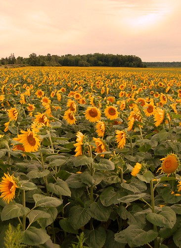
Ottawa,Sunflowers (3)
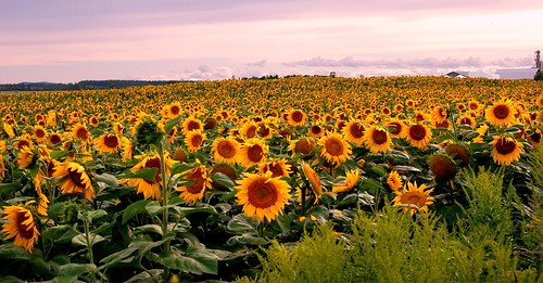
Ottawa,Sunflowers (2)
autumn trees reflections colours whitelake
At White Lake
sunset ontario canada can eaglesnest hdr calabogie
Eagle's Nest Sunset
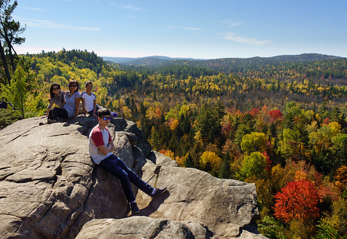
autumn lake ontario canada fall colors rock highlands colours eaglesnest calabogie
Eagles Nest, Calabogie Highlands, eastern Ontario
fall clyde pike lanark mississippivalley lanarkhighlands clydelake
Clyde Lake Fall Sunset
fall clyde pike lanark mississippivalley lanarkhighlands clydelake
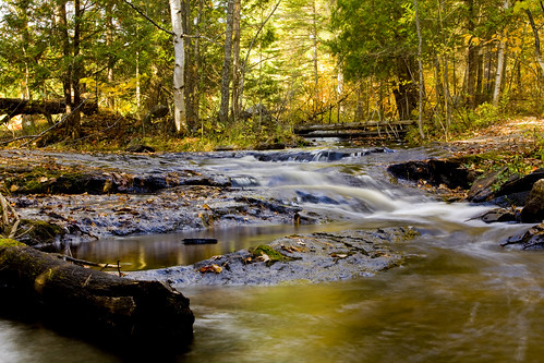
October - Fall - Lanark Stream
Beaver pond reflecting the sky
ontario landscape september renfrewcounty reidlake
Reid Lake vignette
fall clyde pike lanark mississippivalley lanarkhighlands clydelake
Lanark Stream
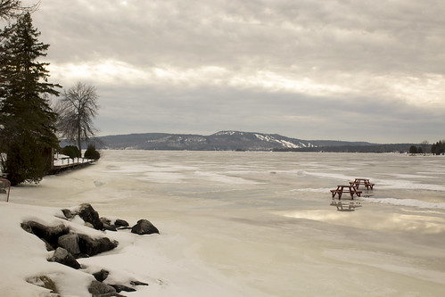
winter ontario canada landscape melting january picnictable icesheets woodlawn calabogielake
one mild winter vignette
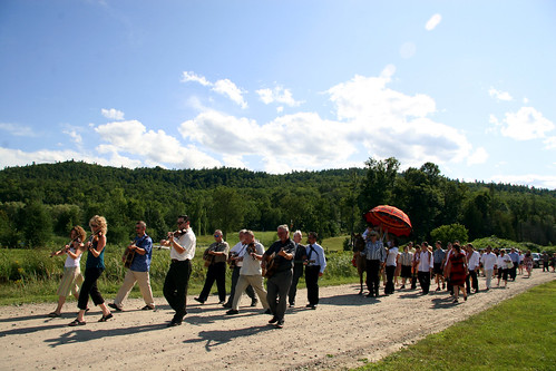
wedding jason love geotagged nadia union ceremony calabogie vedic calabogiepeaks nadiagandhi jasondaley vedicwedding geolon76758556 geolat45293003
Arrival of the Groom's party