Elevation of Caille Island, Grenada
Location: Grenada >
Longitude: -61.581499
Latitude: 12.2873991
Elevation: 25m / 82feet
Barometric Pressure: 101KPa
Elevation Map:
Satellite Map:
Related Photos:

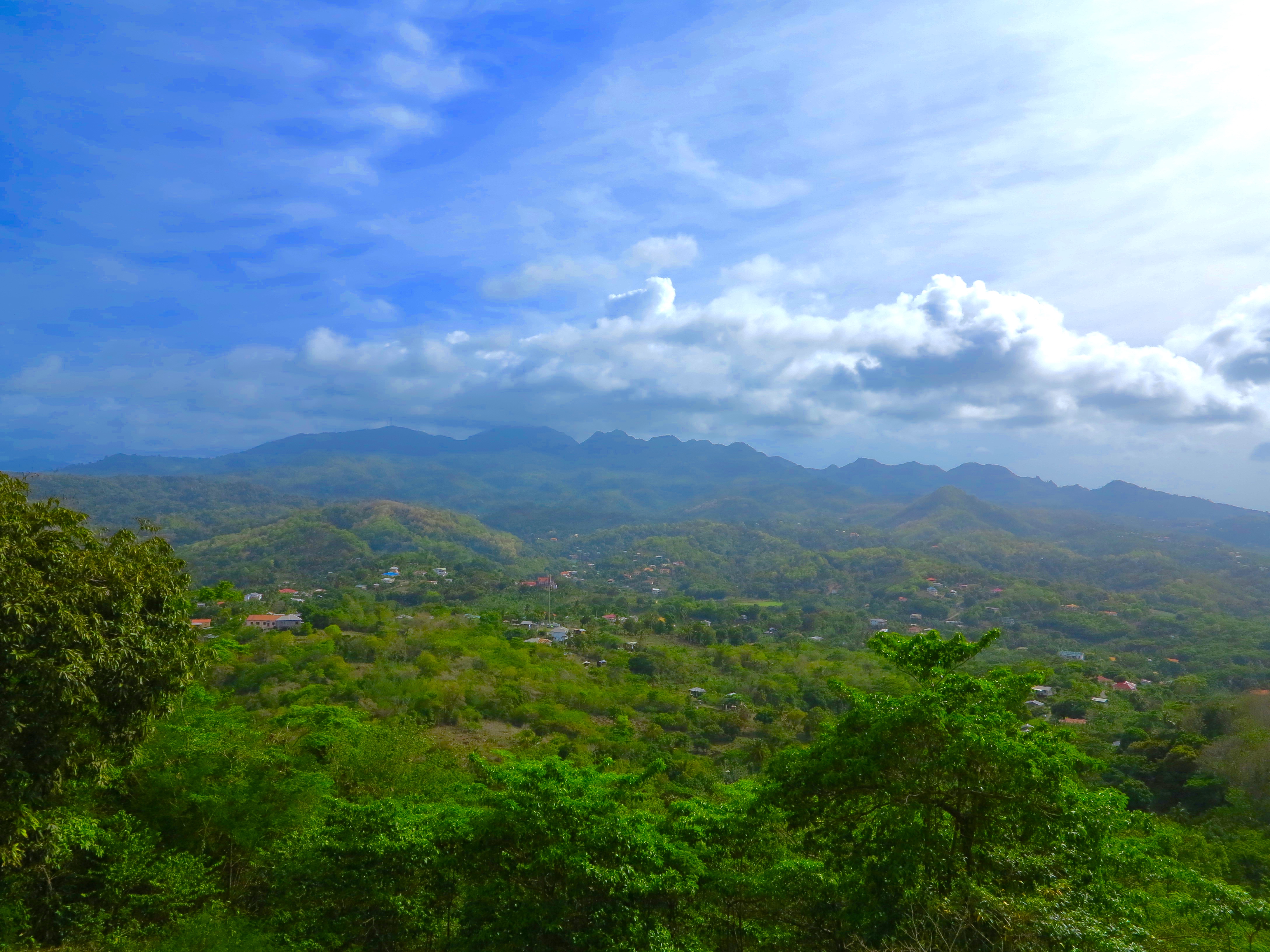
View from the summit of Mount Saint Catherine

View of the mountains from Pearl Runway

View from Levera Hill

Atomic Rain Shower

View of Mount Saint Catherine Summit

View from the summit - Caribbean View

View looking north from summit

View from the summit

A deep valley viewed from the summit

View from the summit - Atlantic View

View from Tivoli
Mount Saint Catherine viewed from Levera Hil

Greneda Choclate Company

Broad winged hawk at lake antoine

Grenada Church

Antoine Bay

And this is the beach

Pearl Airport abandoned planes

Destroyed Road

DGB Grenada _125b

Nutmeg Farm on the shore of Lake Antoine

Sugarcane and Coconuts

Sugarcane and coconuts

The Blowhole at Levera Beach

Cliff at the North End of Ronde Island

Friends and a Secluded Beach

Remaining Beach Damage and Debris

Levera Beach with cow.

Sauteur, Grenada

Bathway cliffs
Topographic Map of Caille Island, Grenada
Find elevation by address:

Places near Caille Island, Grenada:
Grenada
Grenada
La Sagesse
Saint Davids
Saint David
Saint George
Grenada Underwater Sculpture Park
Palm Tree Gardens
Kirani James Athletic Stadium
Hyde Park Tropical Garden
Saint George's
Government Of Grenada Printery
Roy St. John Field
Calivigny
61° West Restaurant + Beach Bar
Movie Palace
Siesta Hotel
Kimpton Kawana Bay
Palm Island
Recent Searches:
- Elevation of Corso Fratelli Cairoli, 35, Macerata MC, Italy
- Elevation of Tallevast Rd, Sarasota, FL, USA
- Elevation of 4th St E, Sonoma, CA, USA
- Elevation of Black Hollow Rd, Pennsdale, PA, USA
- Elevation of Oakland Ave, Williamsport, PA, USA
- Elevation of Pedrógão Grande, Portugal
- Elevation of Klee Dr, Martinsburg, WV, USA
- Elevation of Via Roma, Pieranica CR, Italy
- Elevation of Tavkvetili Mountain, Georgia
- Elevation of Hartfords Bluff Cir, Mt Pleasant, SC, USA