Elevation of Cagle Rd, La Pine, OR, USA
Location: United States > Oregon > La Pine >
Longitude: -121.48628
Latitude: 43.7142597
Elevation: 1285m / 4216feet
Barometric Pressure: 87KPa
Elevation Map:
Satellite Map:
Related Photos:
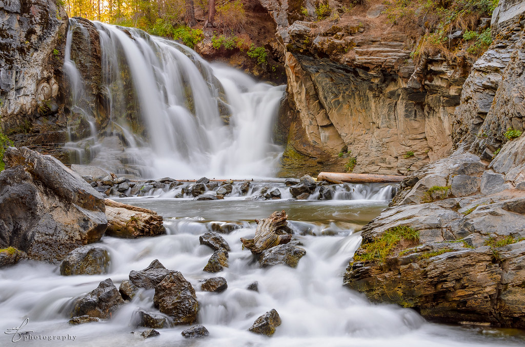
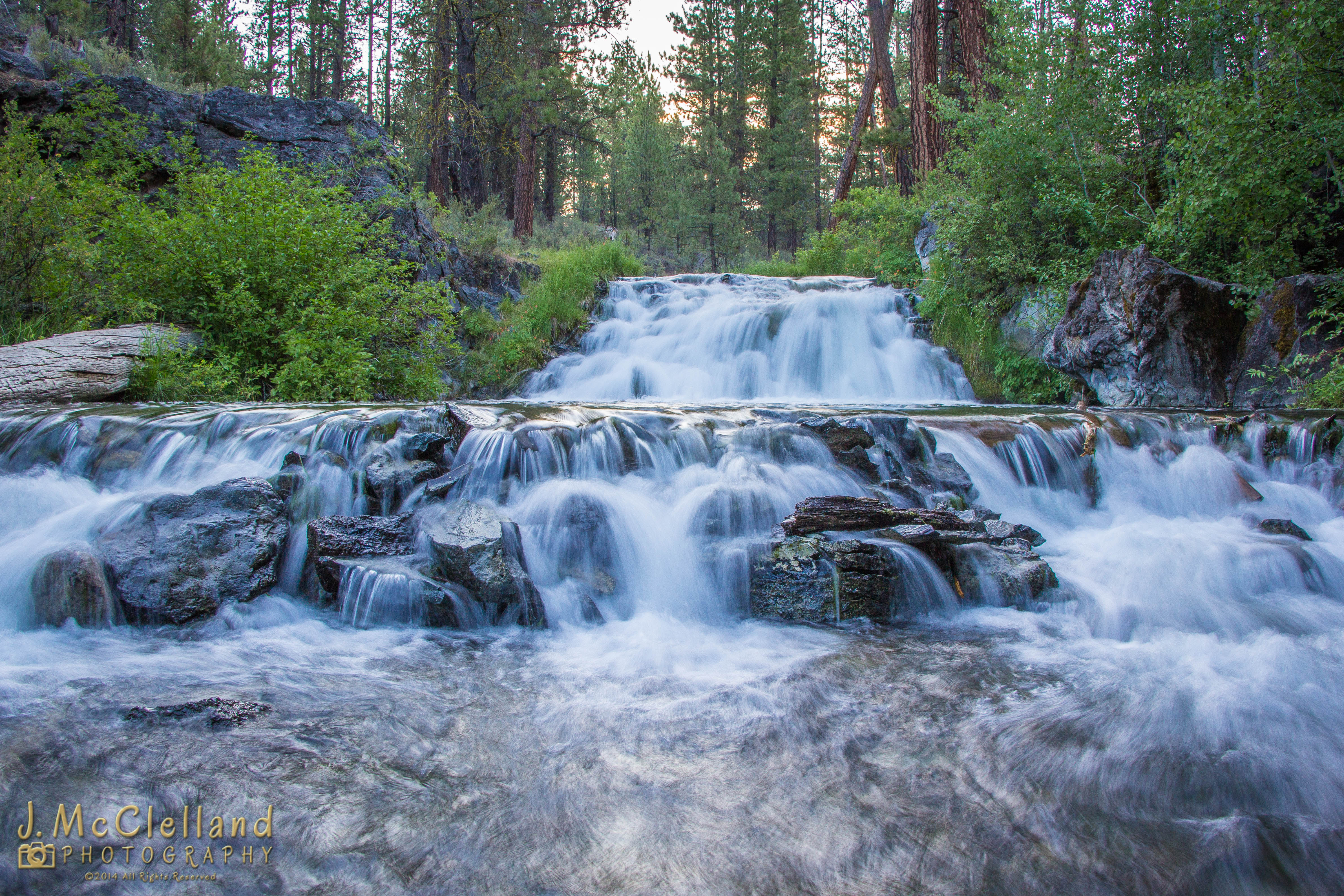
McKay Crossing Falls

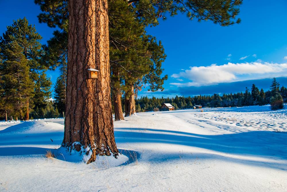
Growing where you can
Barns and Birds
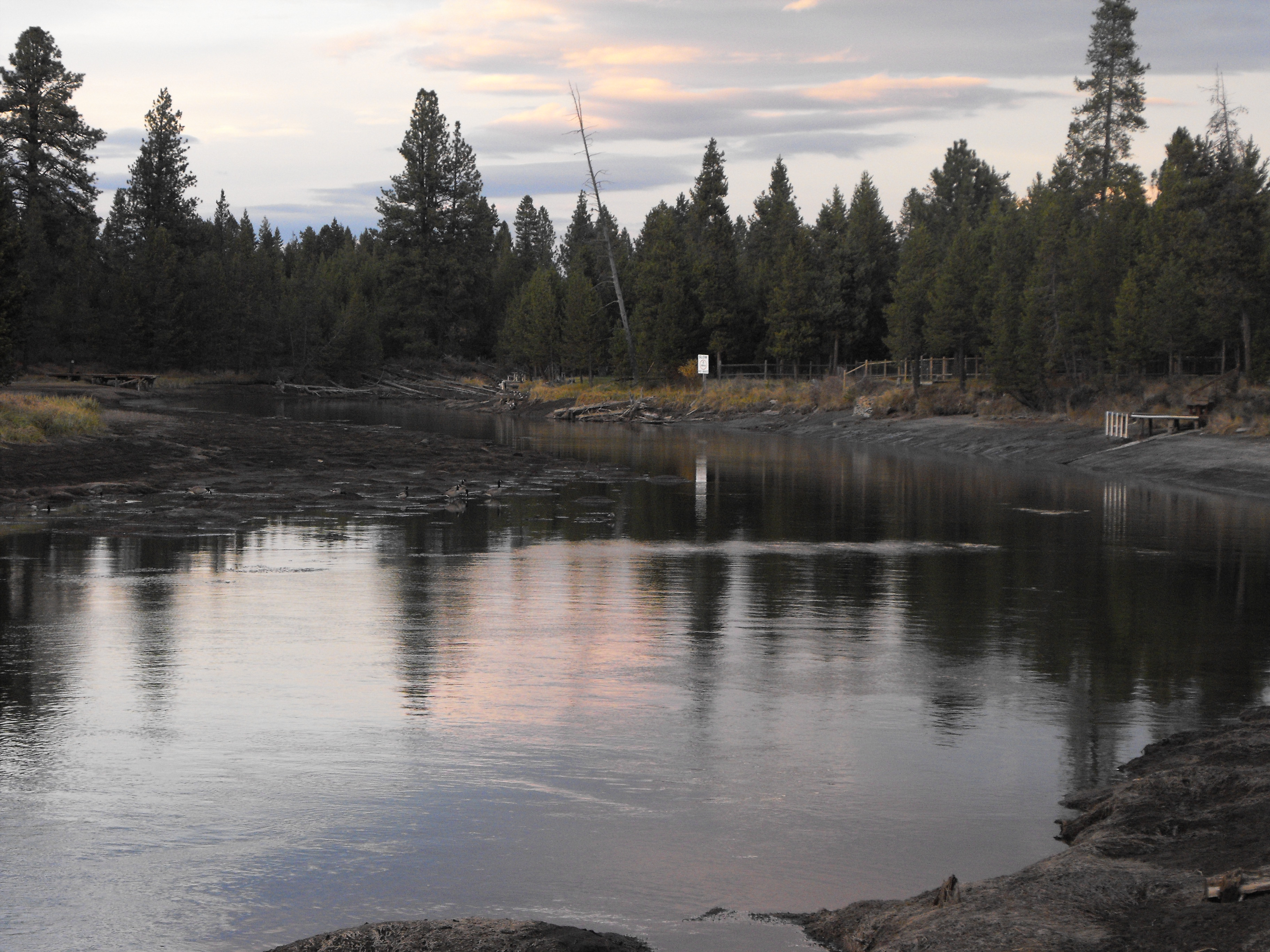
NW Dock View
D70-0926-008 - View to West
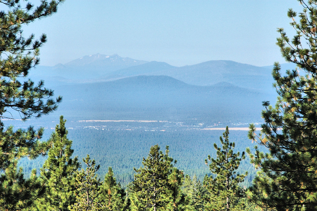
D70-0926-007 - View to Southwest
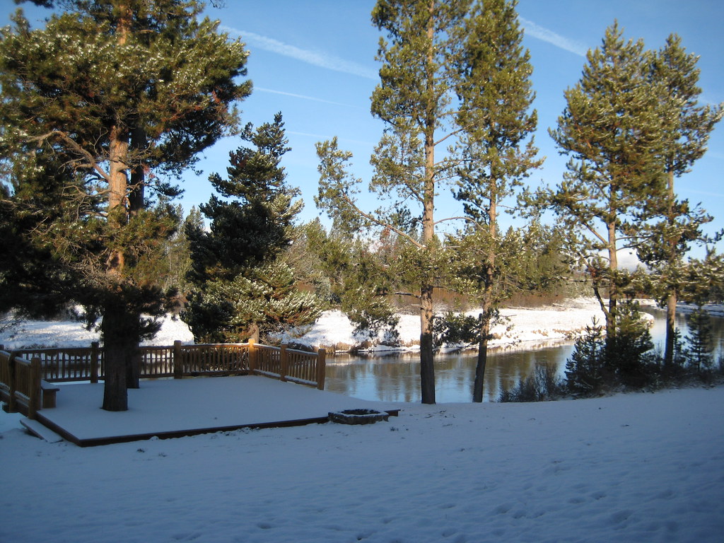
View from cabin deck
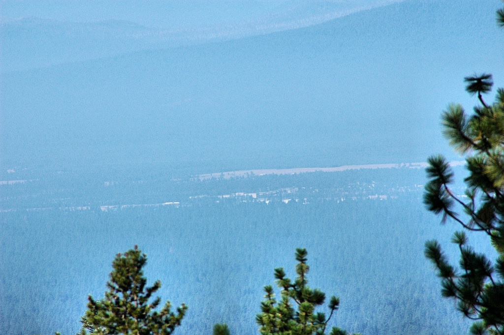
D70-0925-003 - Valley to West Shrouded in Smoke

The View from Steve's Couch

Last night's view...

Big River Campground River View
View from the Fall River Trail

West View Motel

LaPine State Park, Deschutes River, 2012
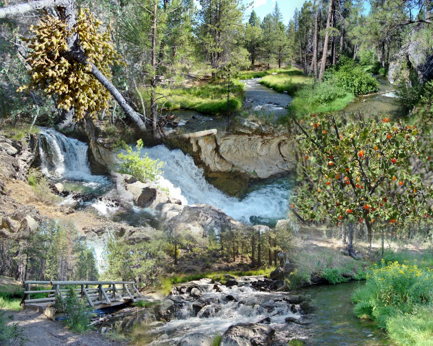
PAULINA CREEK Collage
Paulina Creek Waterfall 2
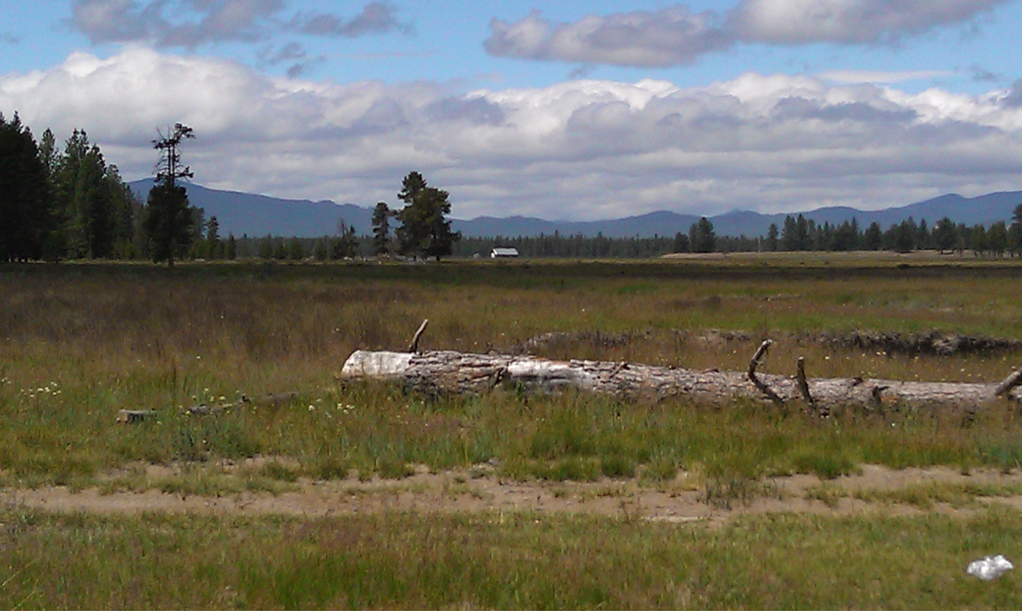
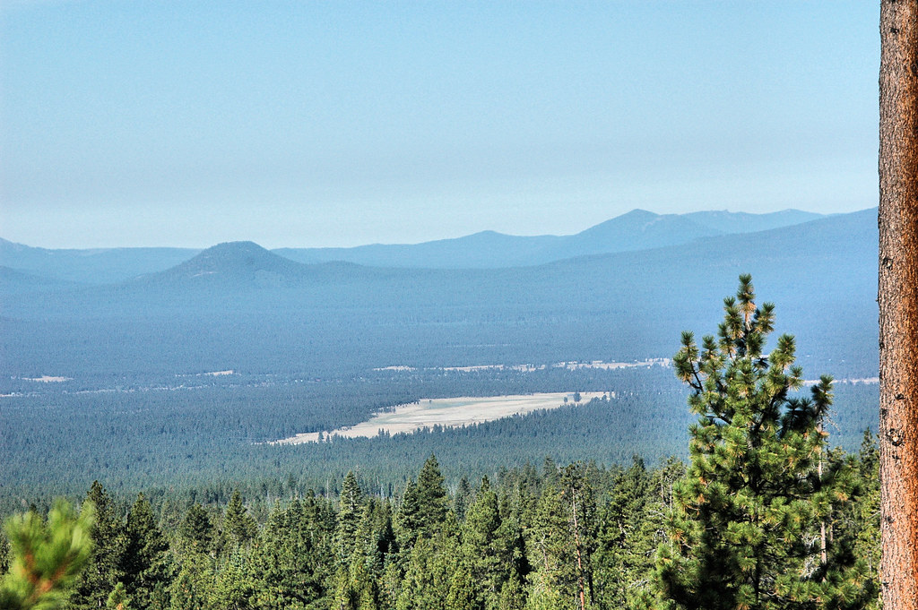
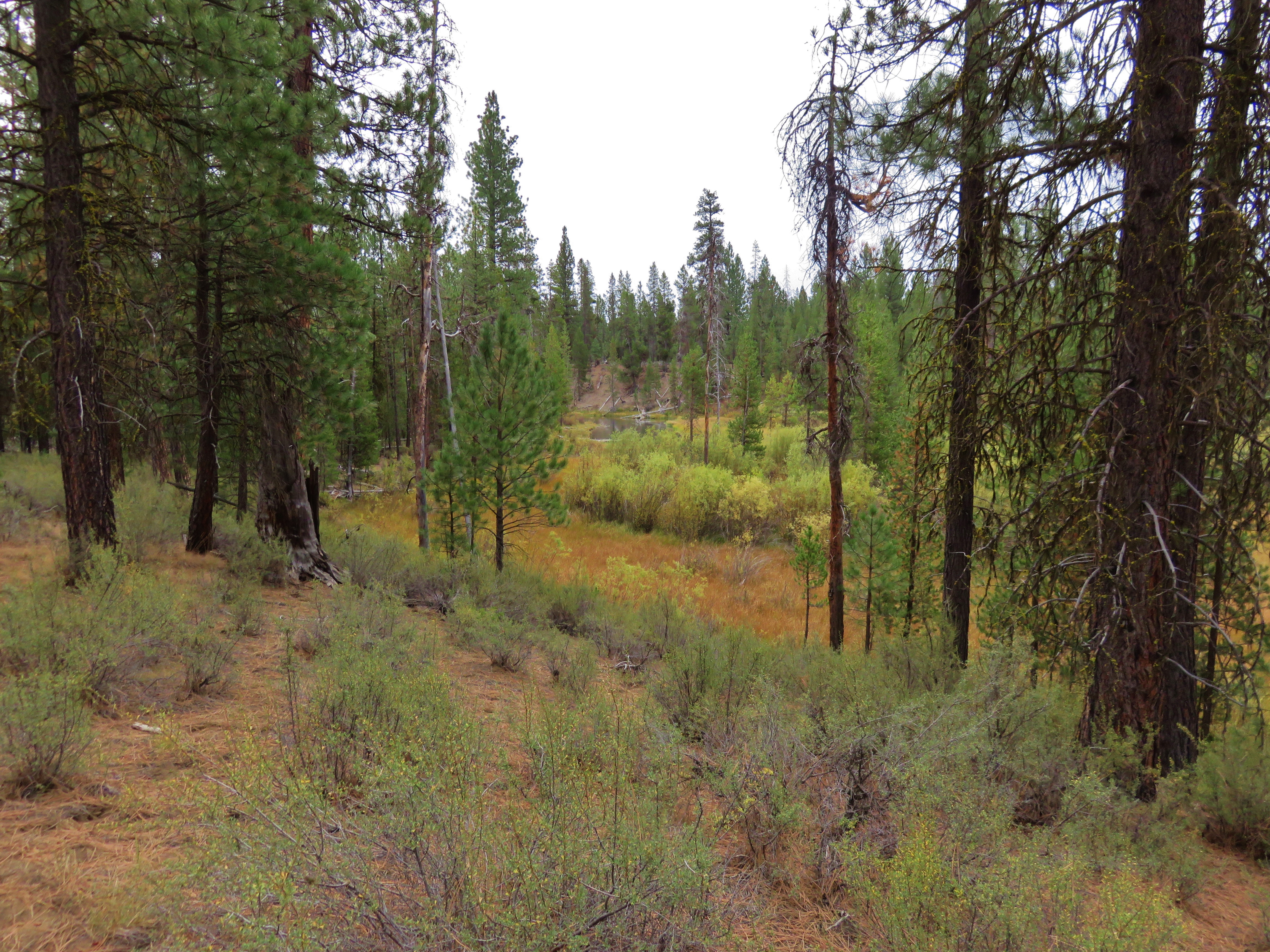
Paulina meadow looking west
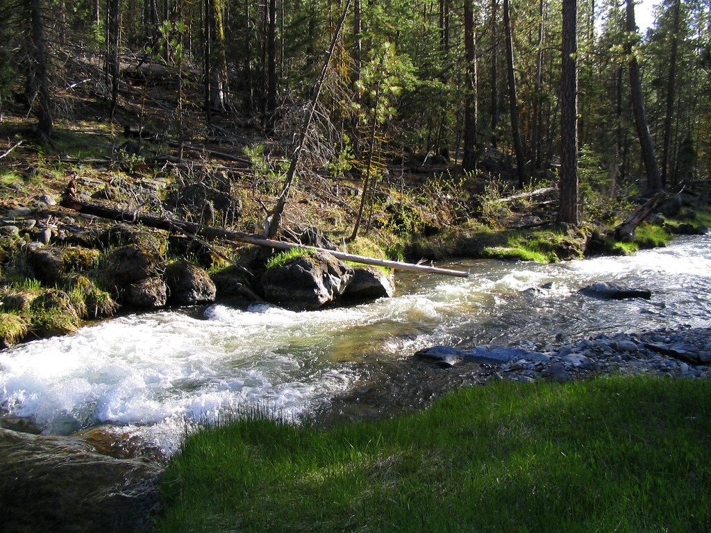
Paulina Creek
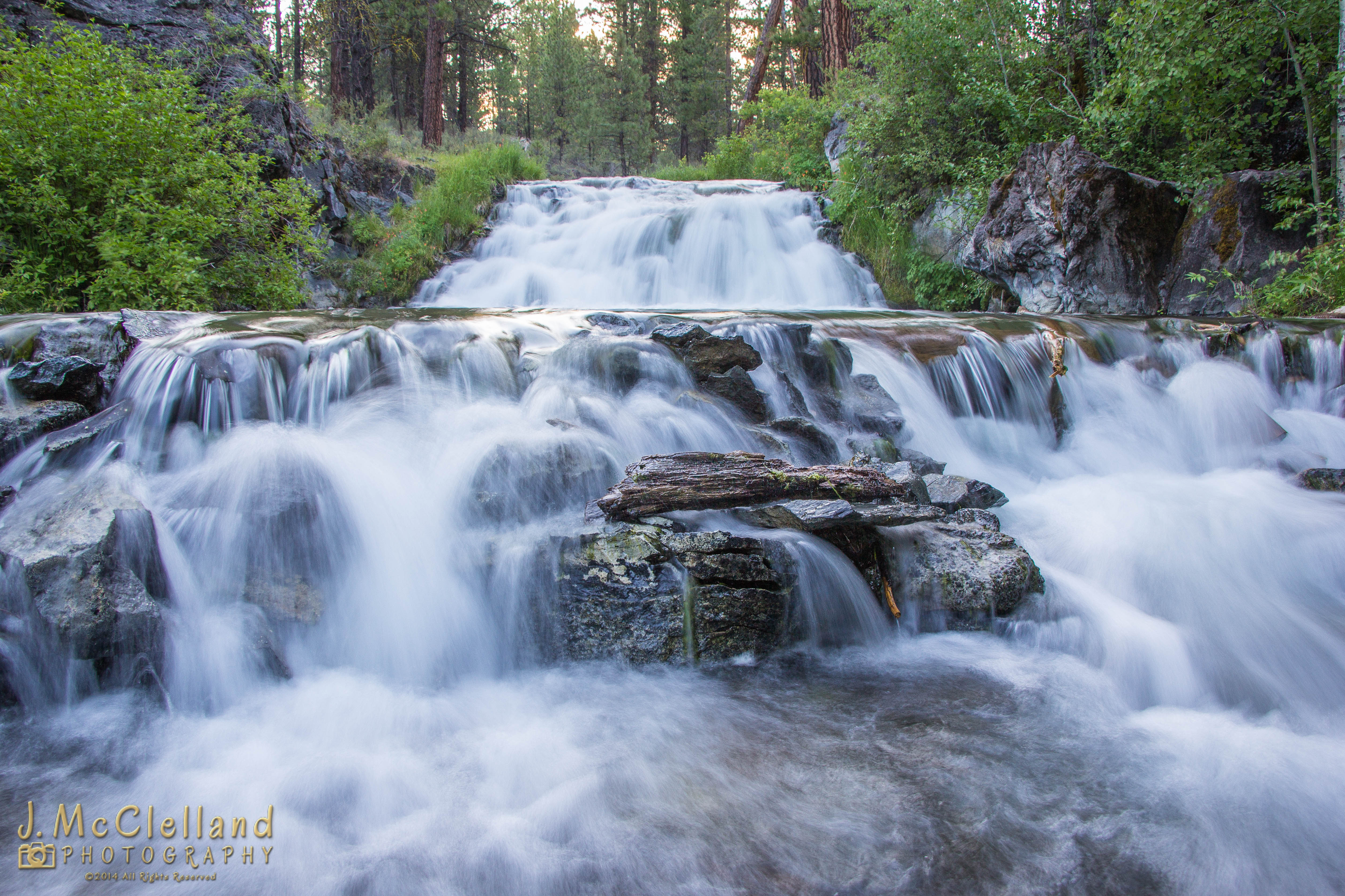
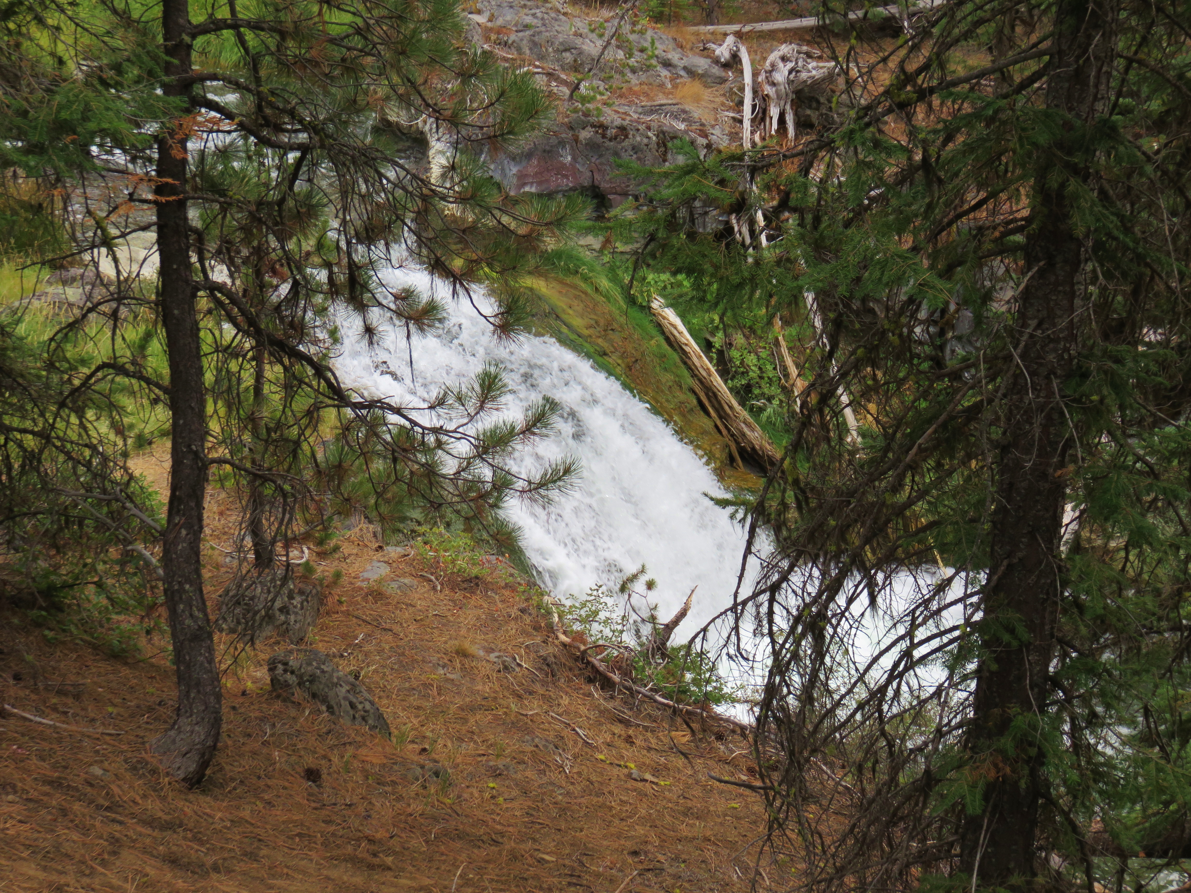
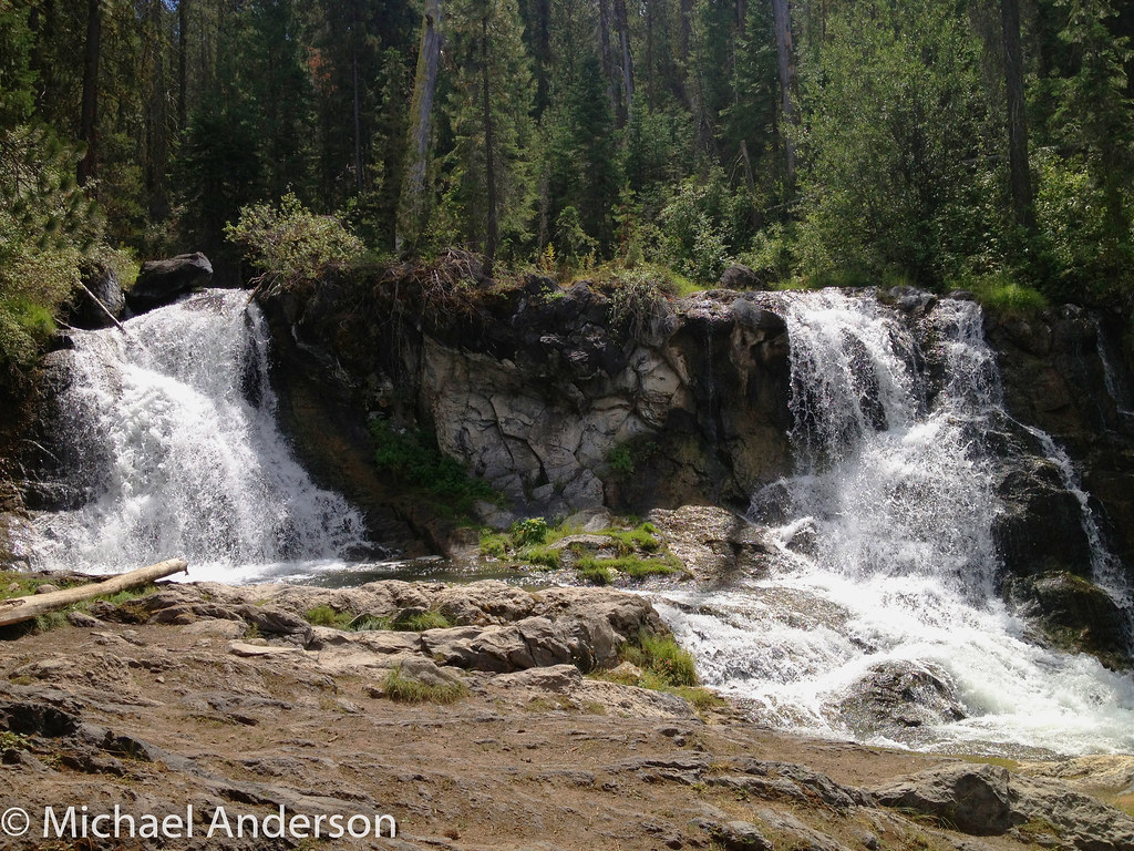
Paulina Creek Waterfall
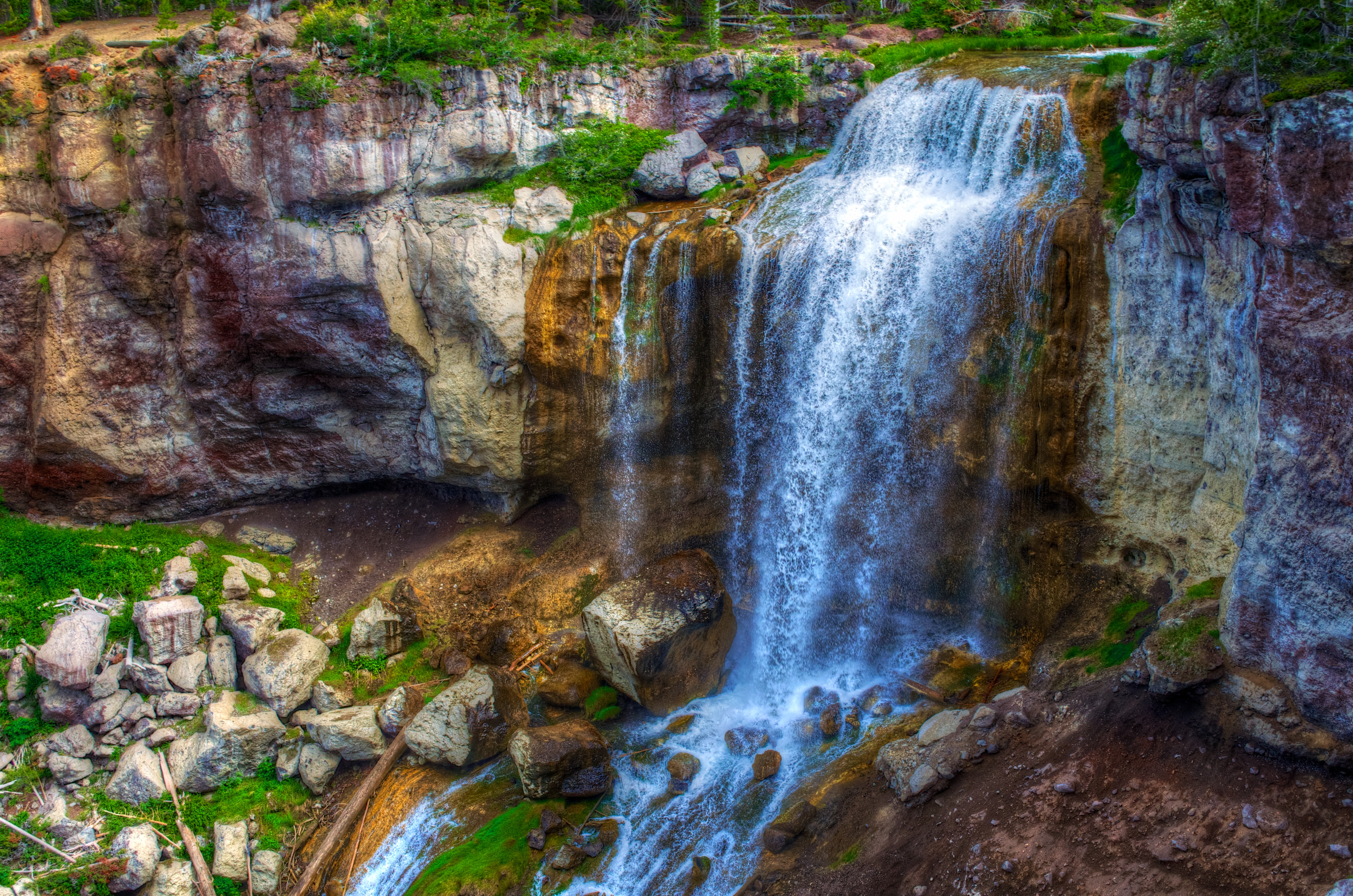
Paulina Falls
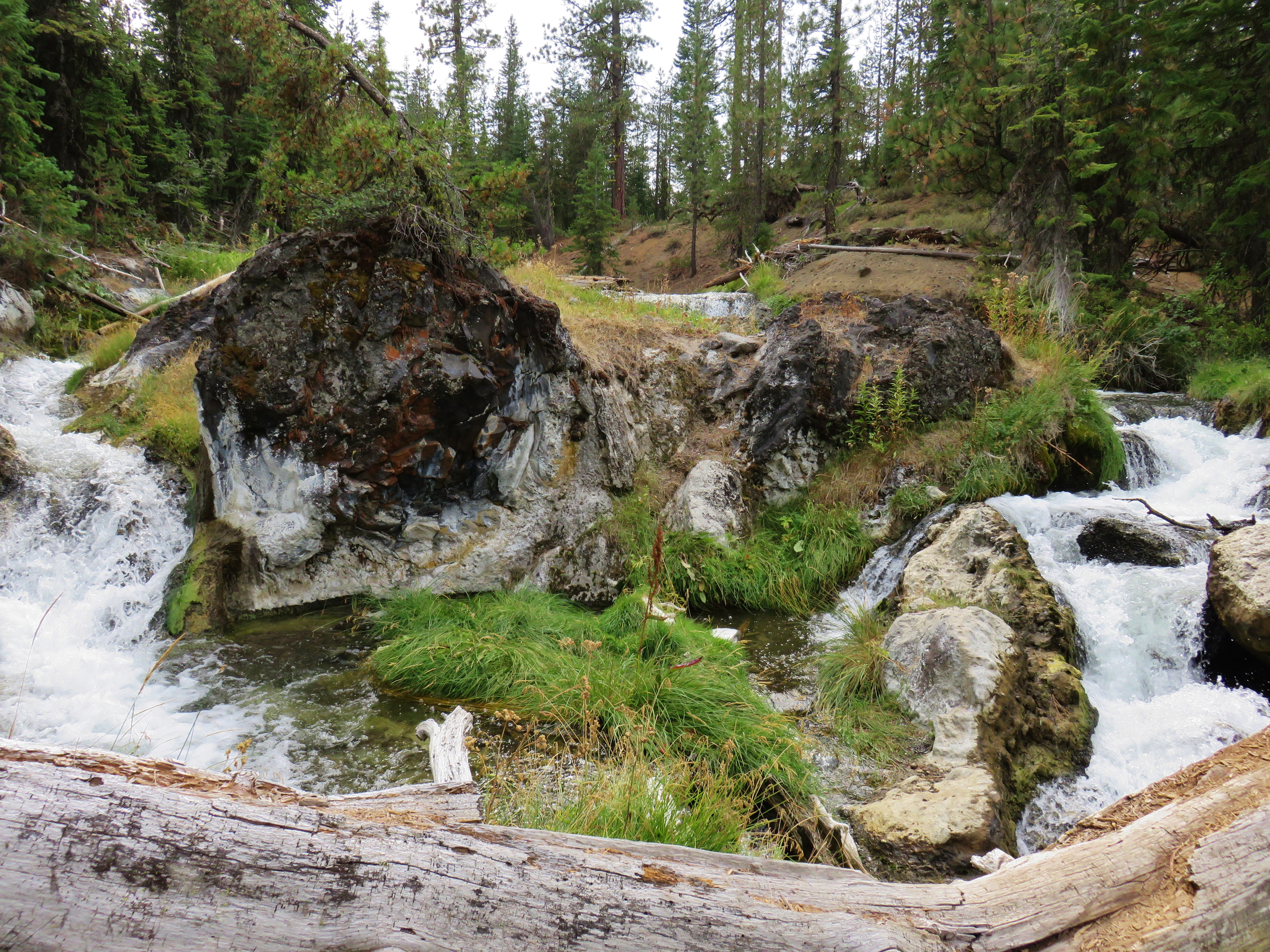
Waterfall on Paulina Creek

Deschutes River

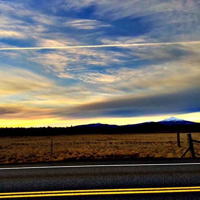
#sunrise from this morning
Waterfall on Paulina Creek
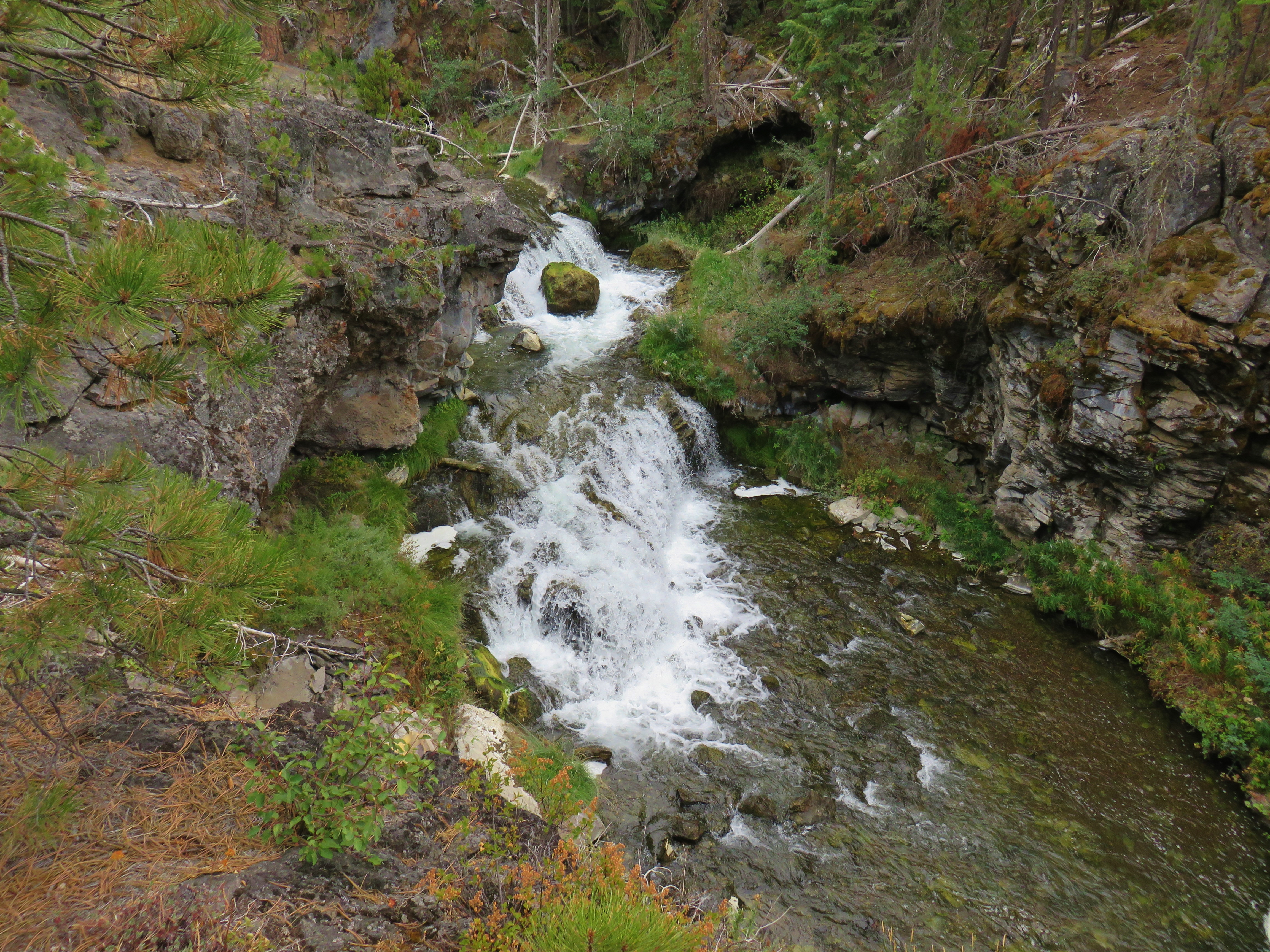
Paulina Creek
#MtBachelor at dusk
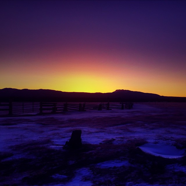
#sunrise behind #PaulinaPeak
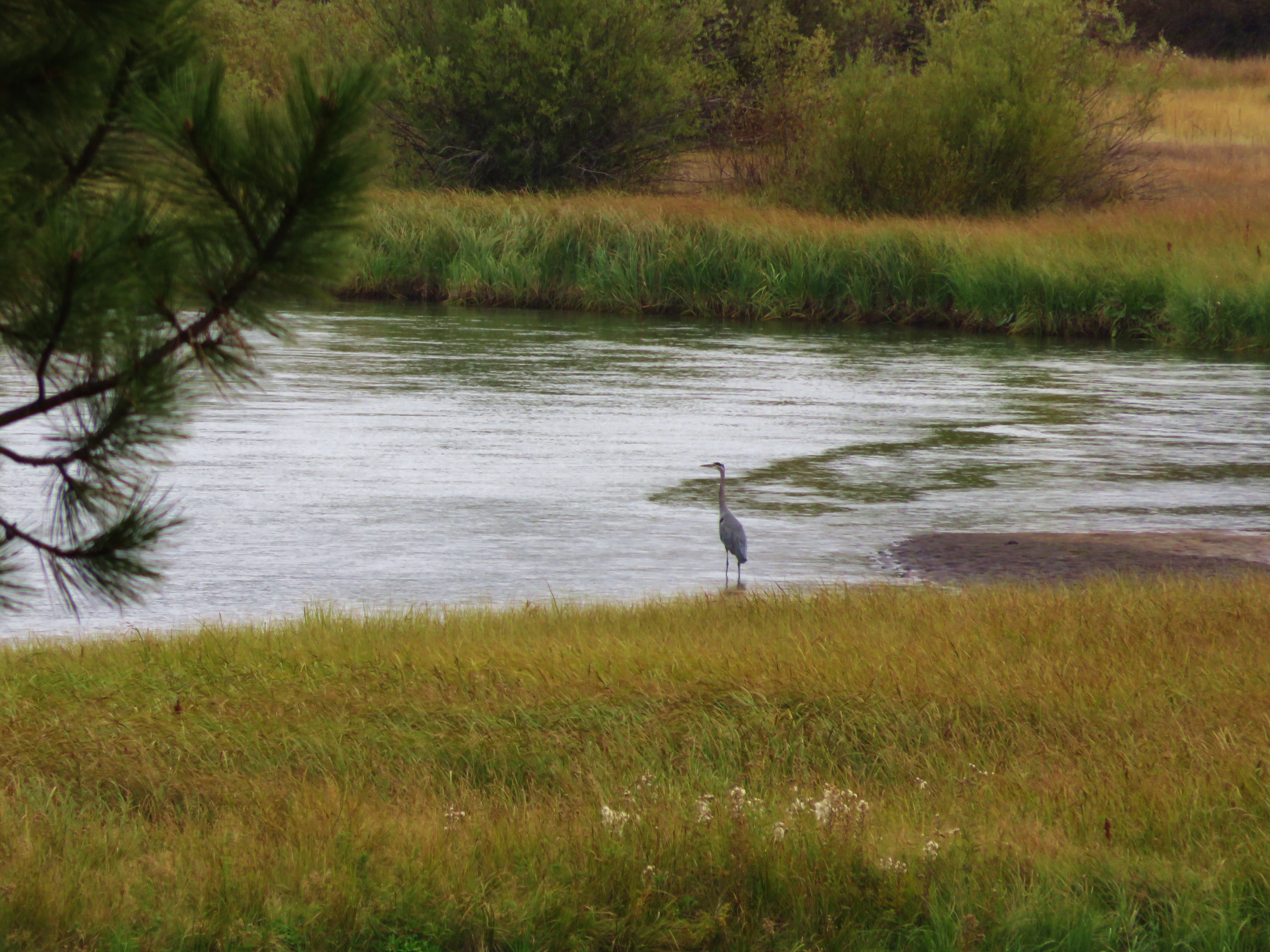
Great Blue Heron

Paulina Creek
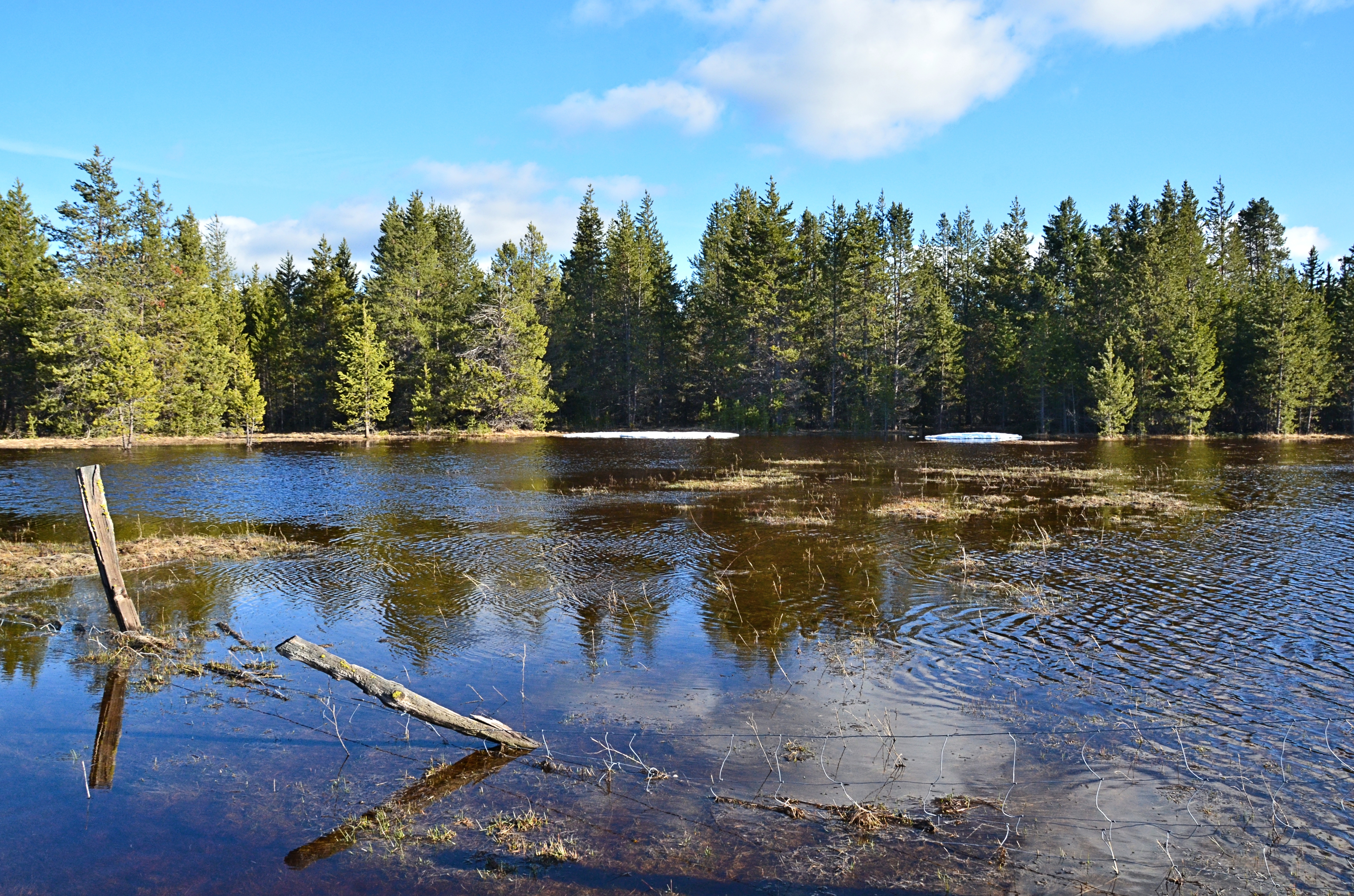
Flooding from melted snow
IMG_1735-Edit.jpg
Topographic Map of Cagle Rd, La Pine, OR, USA
Find elevation by address:

Places near Cagle Rd, La Pine, OR, USA:
51869 Fordham Dr
16605 Assembly Way
51615 Coach Rd
La Pine
Parkway Drive
15749 Shellie Ln
53105 Alps Ct
16394 Carrington Ave
55170 Lazy River Dr
55635 Gatehouse Ln
55942 Wood Duck Dr
17181 Jacinto Rd
16966 Covina Rd
60 Tennis Village
Sunriver
Twilla Court
32424 Beaver Dr
32424 Beaver Dr
52096 Nf-600
57455 Abbot Dr
Recent Searches:
- Elevation of Corso Fratelli Cairoli, 35, Macerata MC, Italy
- Elevation of Tallevast Rd, Sarasota, FL, USA
- Elevation of 4th St E, Sonoma, CA, USA
- Elevation of Black Hollow Rd, Pennsdale, PA, USA
- Elevation of Oakland Ave, Williamsport, PA, USA
- Elevation of Pedrógão Grande, Portugal
- Elevation of Klee Dr, Martinsburg, WV, USA
- Elevation of Via Roma, Pieranica CR, Italy
- Elevation of Tavkvetili Mountain, Georgia
- Elevation of Hartfords Bluff Cir, Mt Pleasant, SC, USA