Elevation of Cadet, MO, USA
Location: United States > Missouri > Washington County >
Longitude: -90.686314
Latitude: 37.9843006
Elevation: 269m / 883feet
Barometric Pressure: 98KPa
Elevation Map:
Satellite Map:
Related Photos:
1,000 Steps Trail
Frogtown reflection

Grave of Moses Austin, Potosi (Mo.), 19 August 1986
Looking down off the dive dock

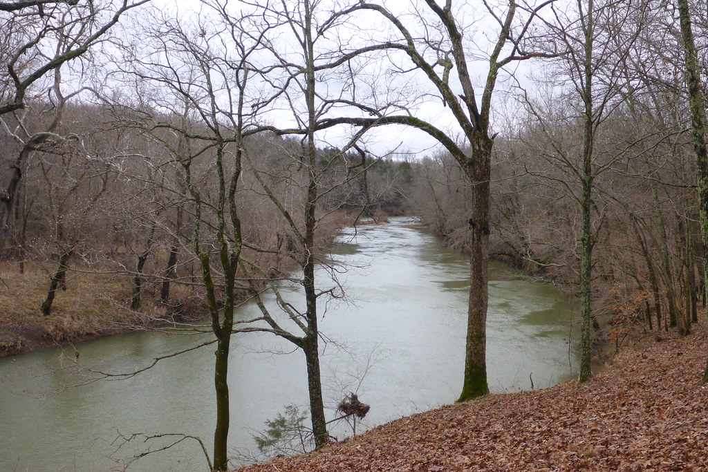
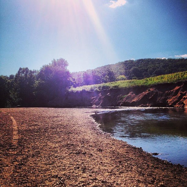
Big River
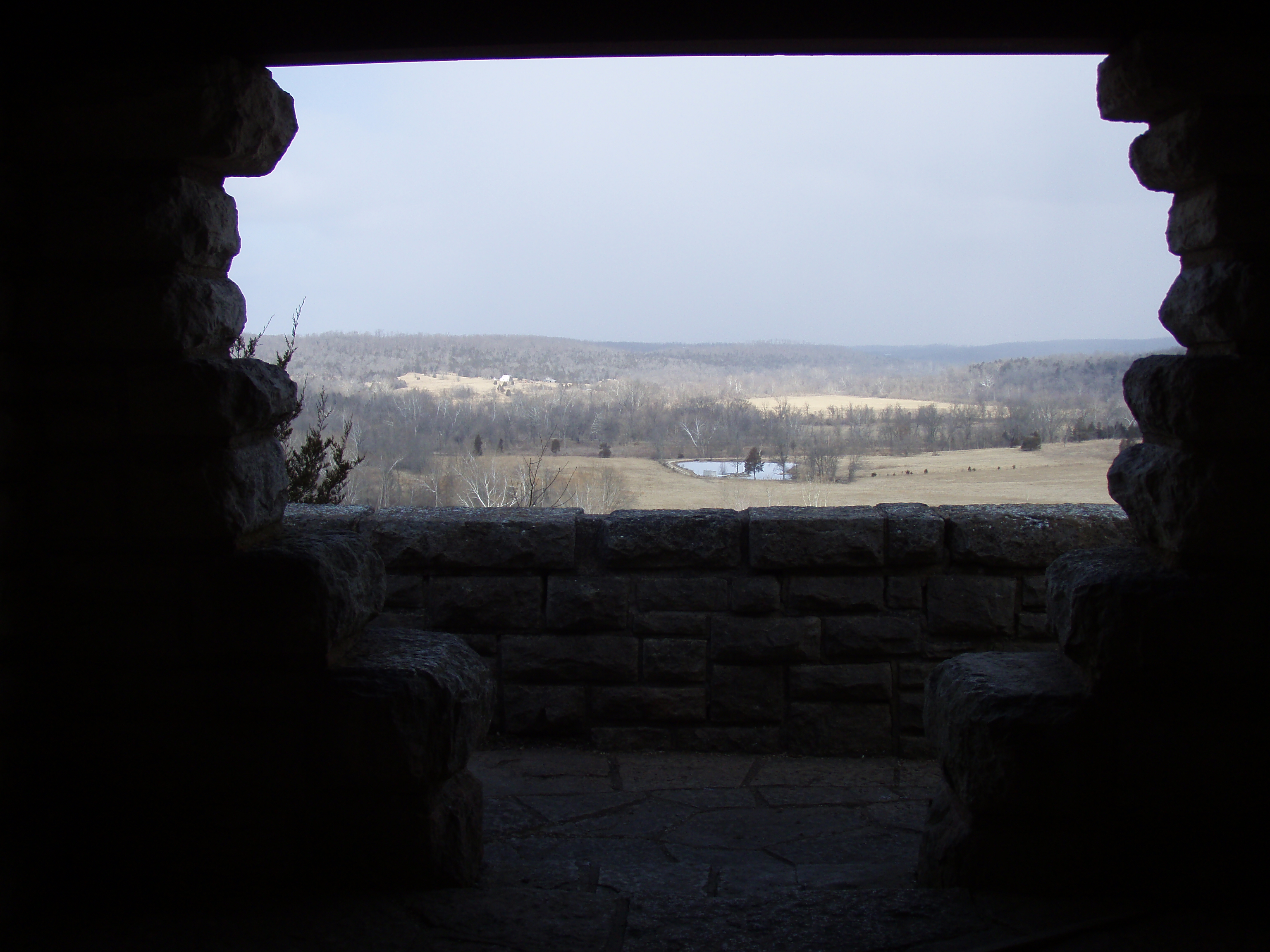
Big River park hills
☀ Not to shabby of a day
2010-04-27 17.41.45
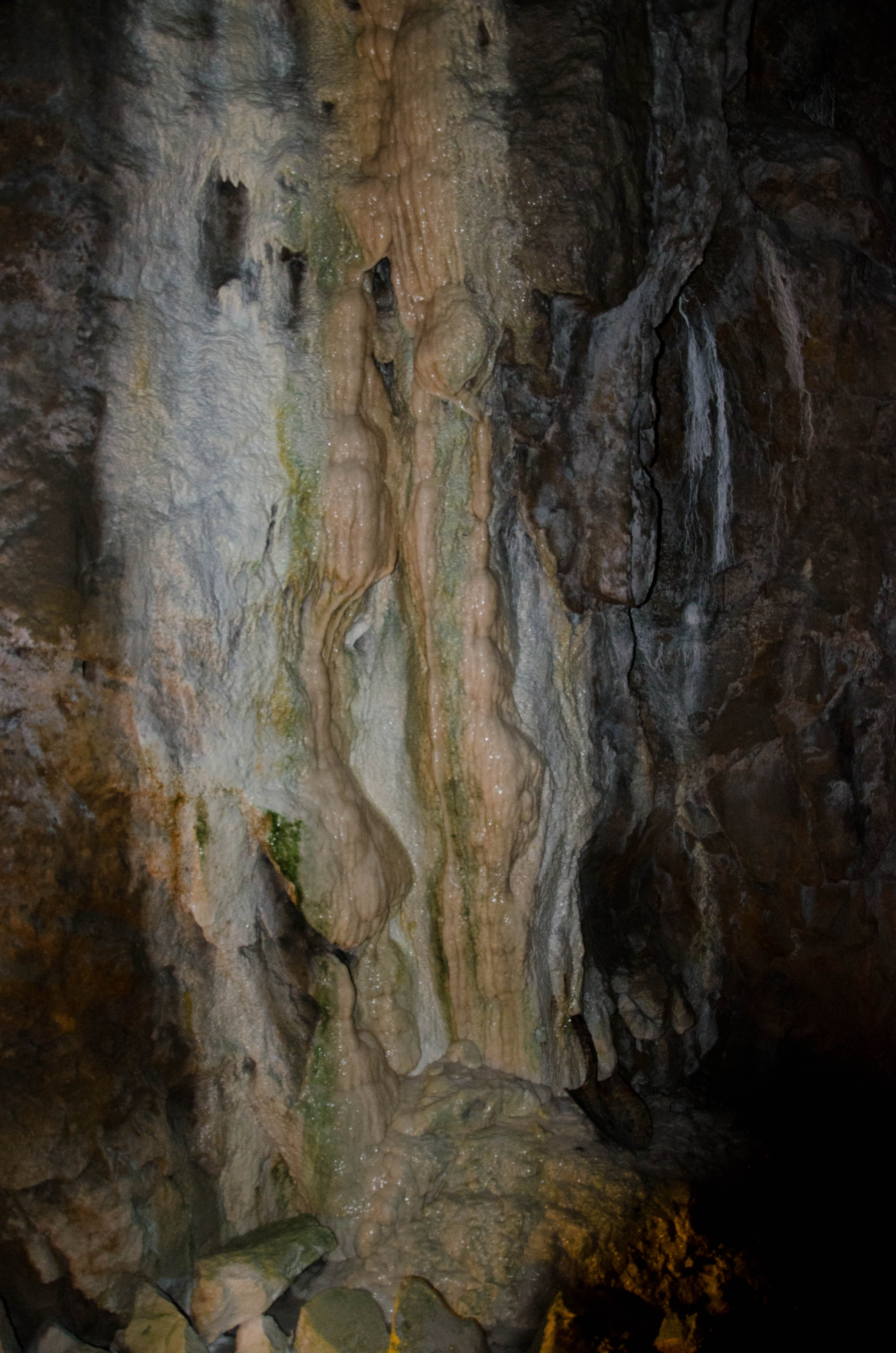
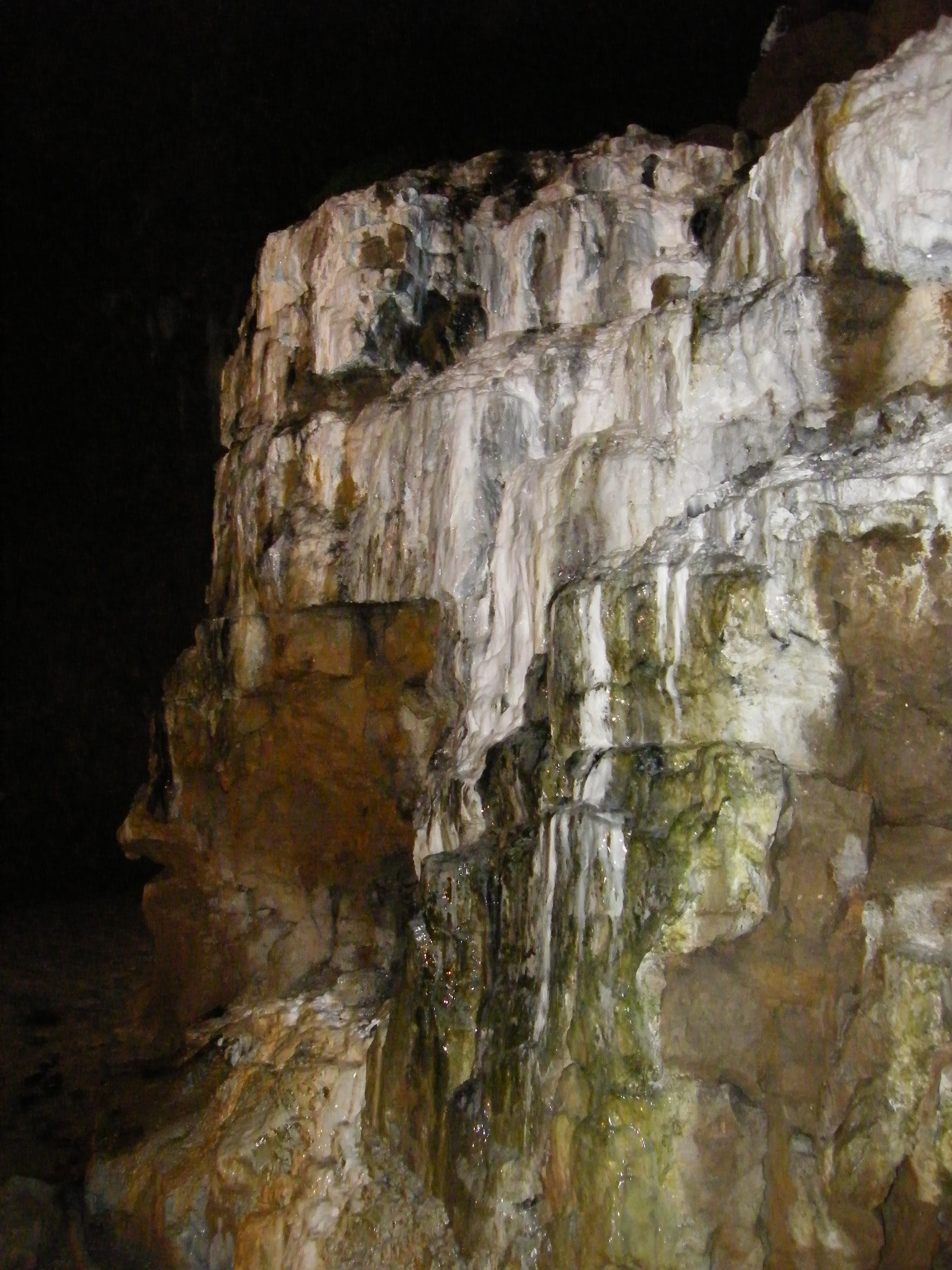
Bonne Terre Mine - Bonne Terre, Missouri
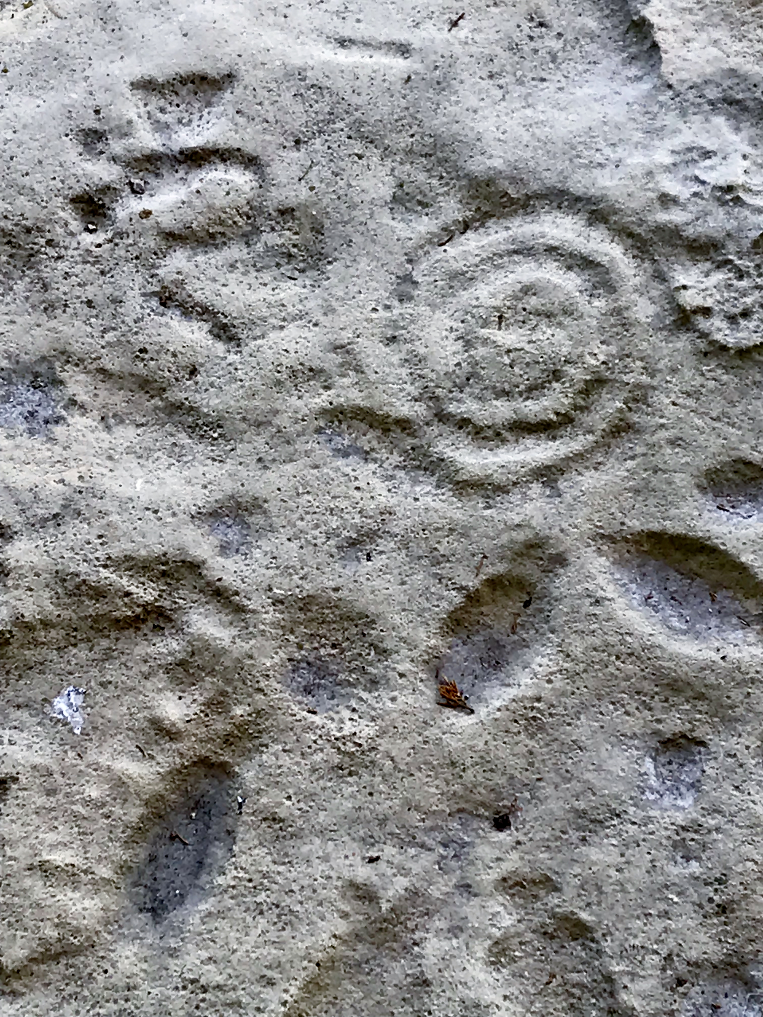
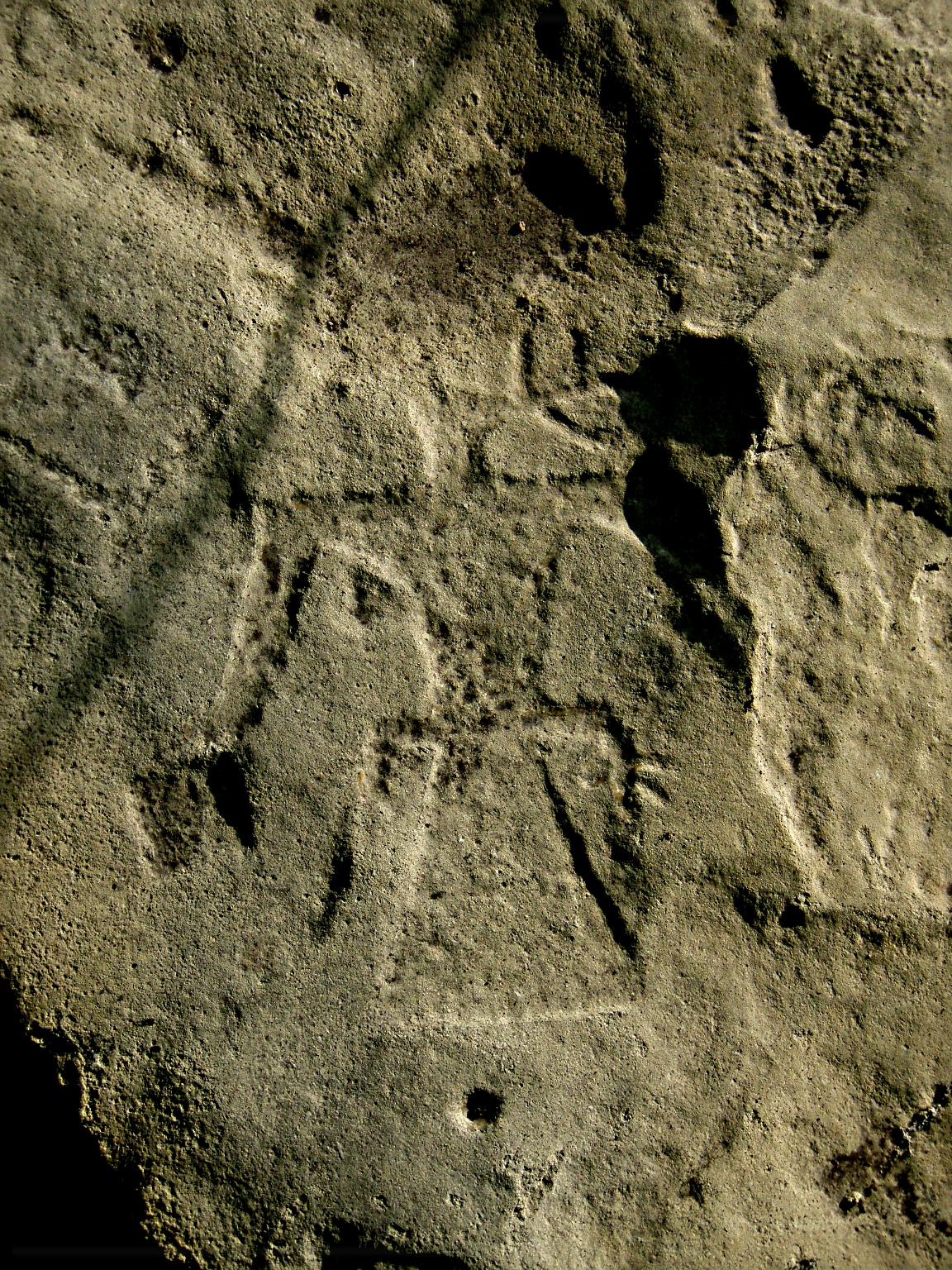
Petroglyph - Washington State Park

2010-04-27 17.41.38
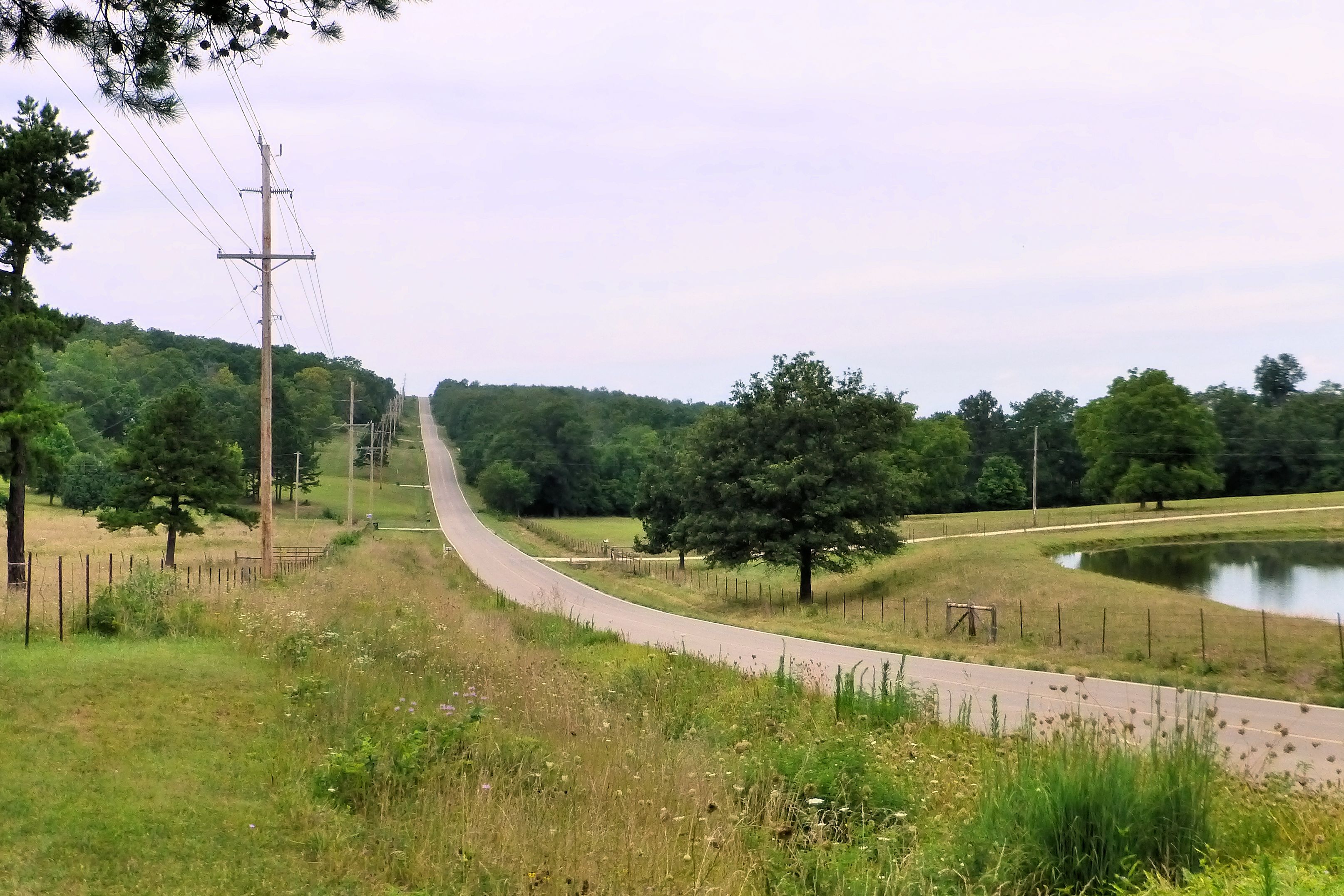
Missouri State Highway 185 near Potosi, MO_P1350329c4e2
2010-04-27 17.42.18
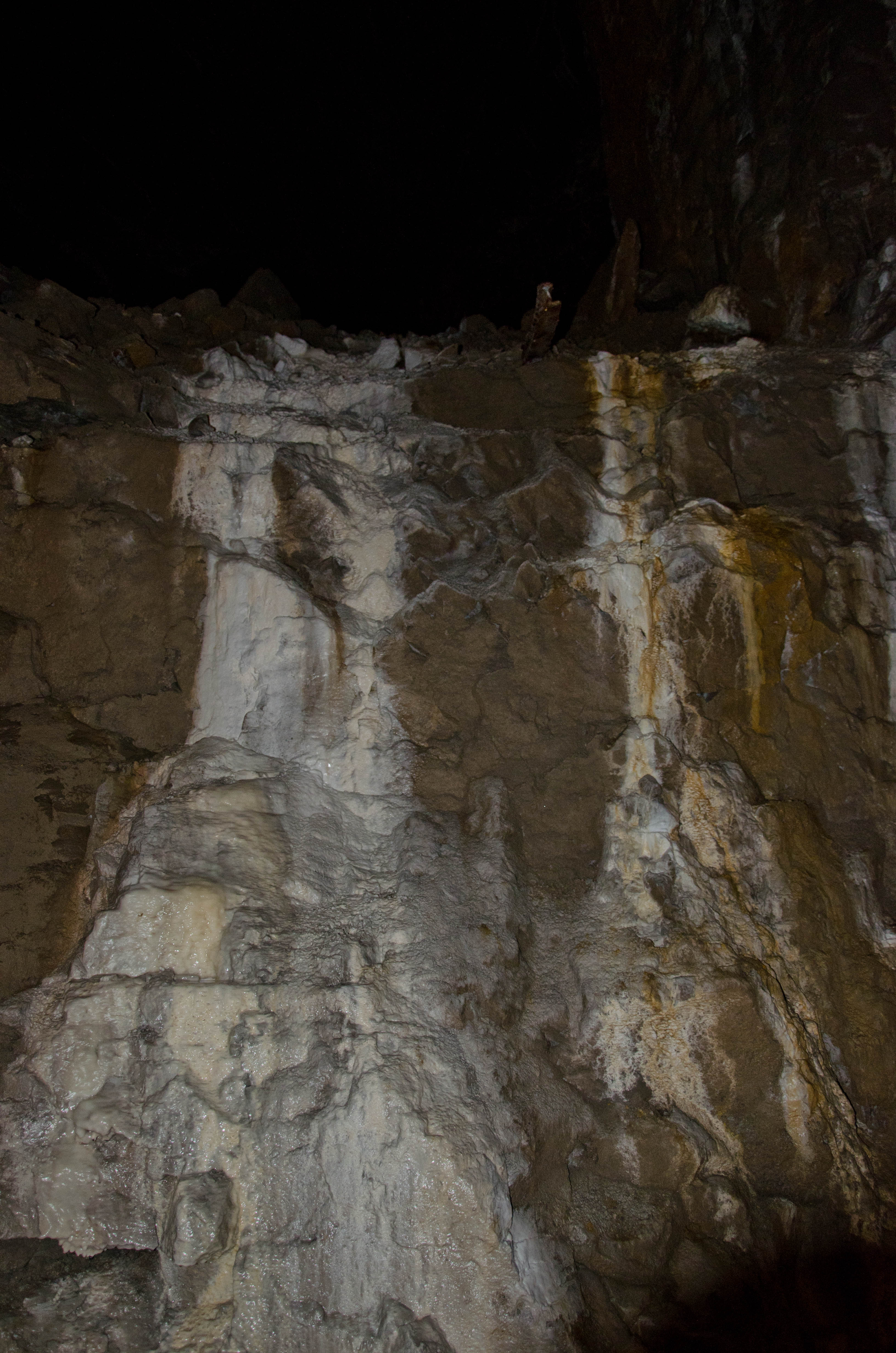
Bonne Terre Mine - Bonne Terre, Missouri
Winter Stream
Bonne Terre Mine - Bonne Terre, Missouri
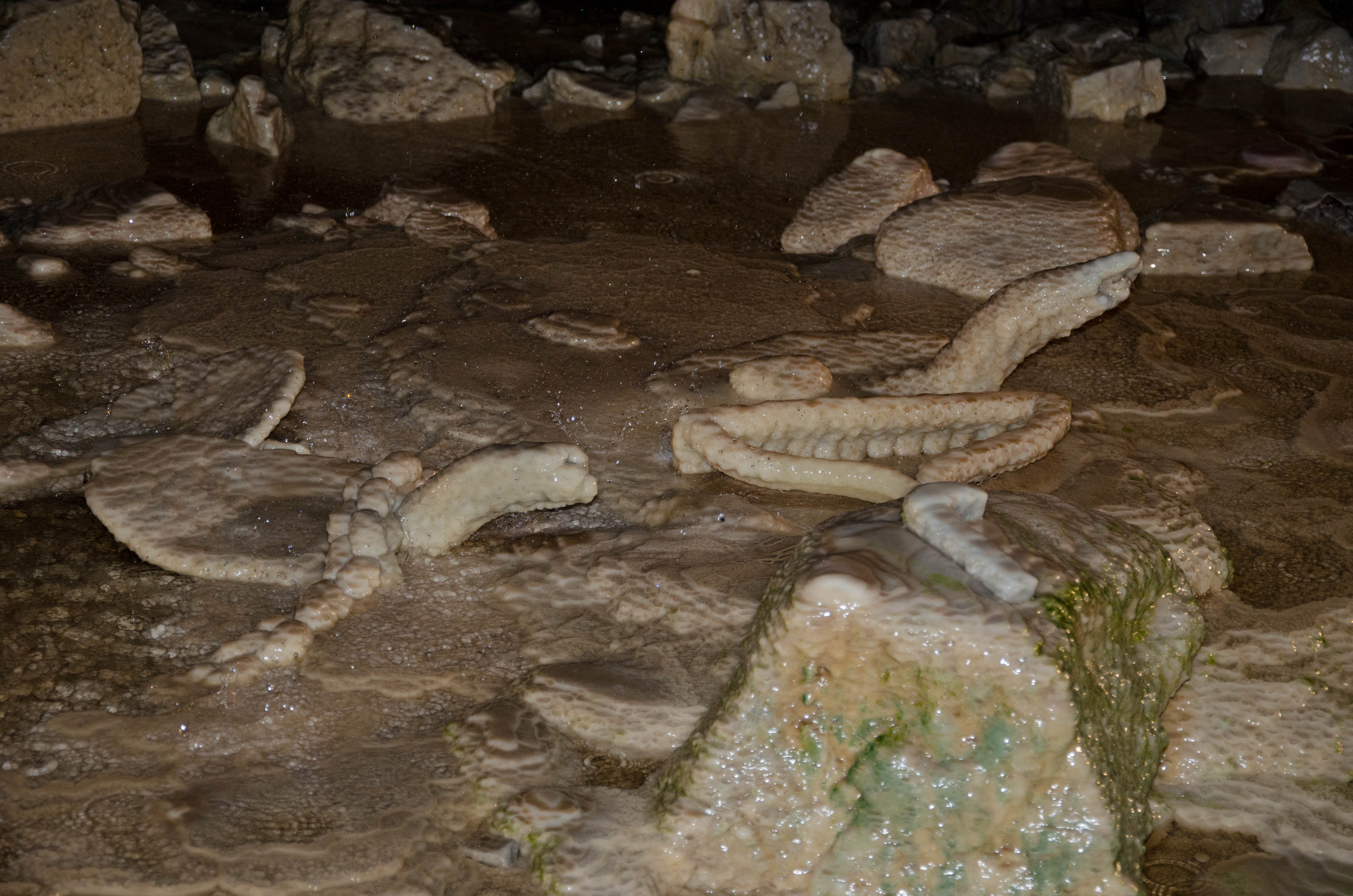
Bonne Terre Mine - Bonne Terre, Missouri
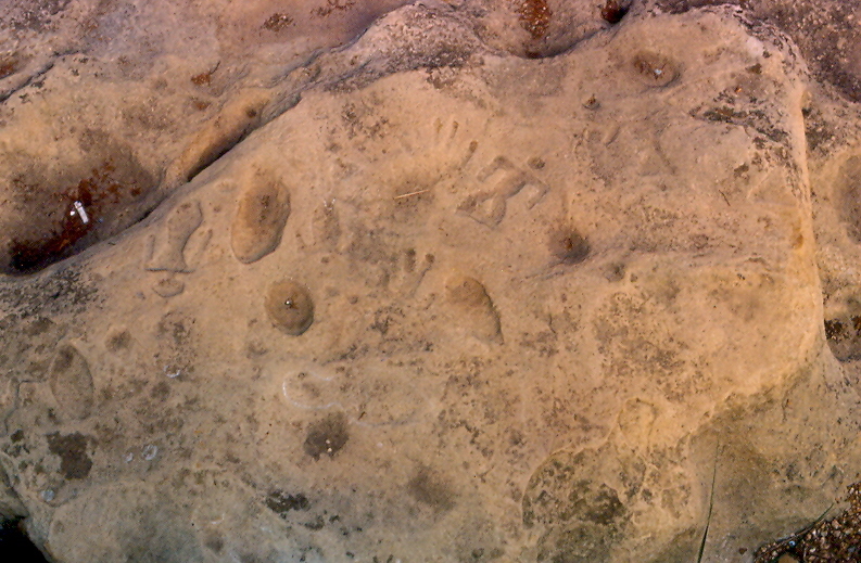
Petroglyphs, Washington State Park, Washington County (Mo.), 8 August 1981
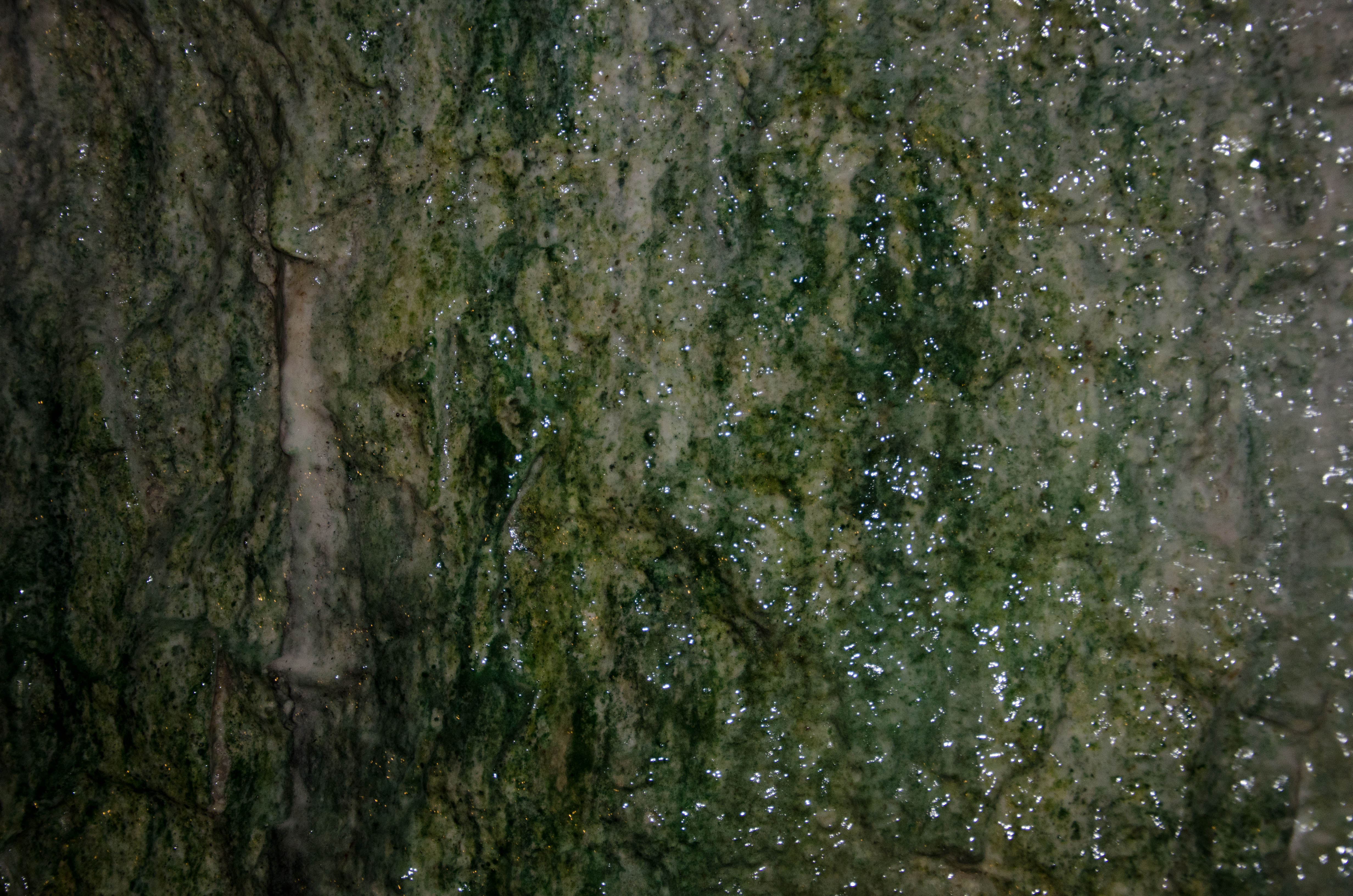
Mineral Deposits
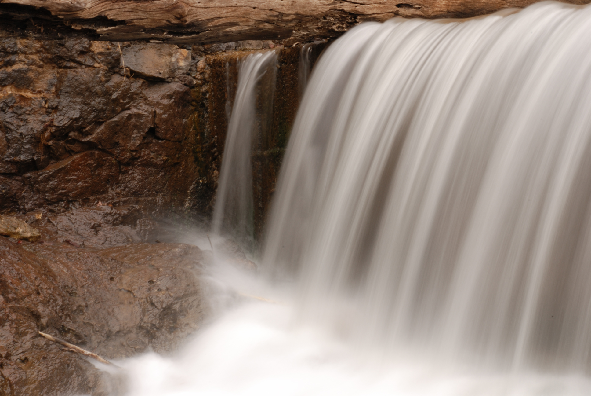
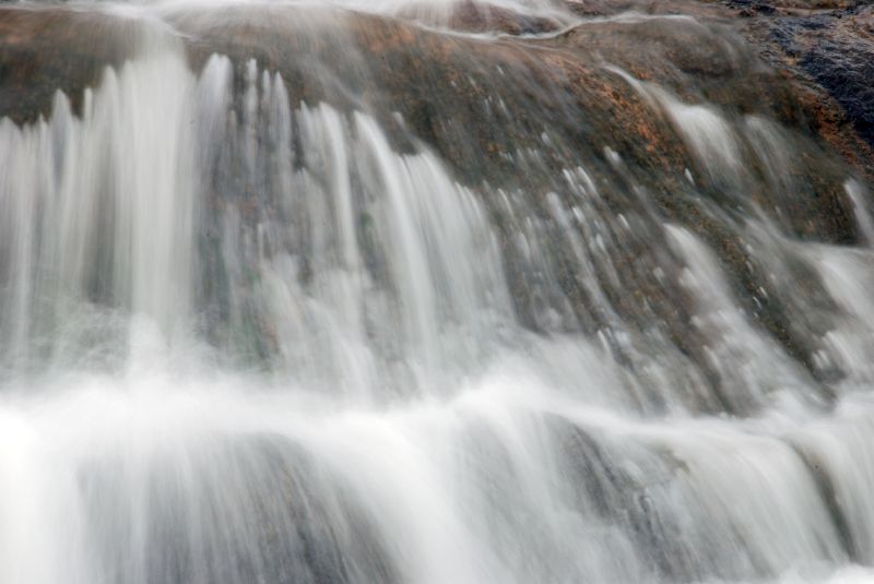
Winter Falls
Speaking Thunderbird Petroglyph
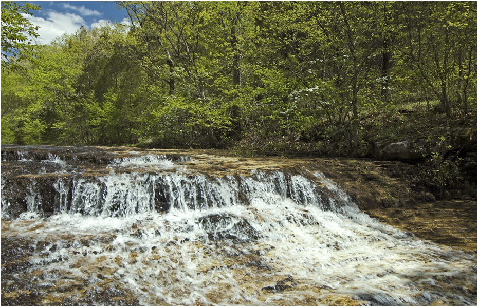
Mooner's Falls

Wrockstock III

Little Deer

Big River park hills
Topographic Map of Cadet, MO, USA
Find elevation by address:

Places near Cadet, MO, USA:
Cannon Mines Rd, Cadet, MO, USA
44 Britton Rd, De Soto, MO, USA
Big River Township
State Rd E, De Soto, MO, USA
Big River Heights Road
5858 Big River Heights Rd
5732 Big River Heights Rd
Vineland Rd, De Soto, MO, USA
4th Street
Silver Springs Rd, Bonne Terre, MO, USA
Valle Township
4152 Ridge Dr
De Soto
State Hwy JJ, De Soto, MO, USA
Selma Rd, De Soto, MO, USA
13864 Rouggly Rd
2720 Lee Pyle Rd
West Tomahawk Trail
East Tomahawk
Laguna Palma Rd, De Soto, MO, USA
Recent Searches:
- Elevation of Corso Fratelli Cairoli, 35, Macerata MC, Italy
- Elevation of Tallevast Rd, Sarasota, FL, USA
- Elevation of 4th St E, Sonoma, CA, USA
- Elevation of Black Hollow Rd, Pennsdale, PA, USA
- Elevation of Oakland Ave, Williamsport, PA, USA
- Elevation of Pedrógão Grande, Portugal
- Elevation of Klee Dr, Martinsburg, WV, USA
- Elevation of Via Roma, Pieranica CR, Italy
- Elevation of Tavkvetili Mountain, Georgia
- Elevation of Hartfords Bluff Cir, Mt Pleasant, SC, USA