Elevation of Caddo County, OK, USA
Location: United States > Oklahoma >
Longitude: -98.308844
Latitude: 35.10556
Elevation: 416m / 1365feet
Barometric Pressure: 96KPa
Elevation Map:
Satellite Map:
Related Photos:

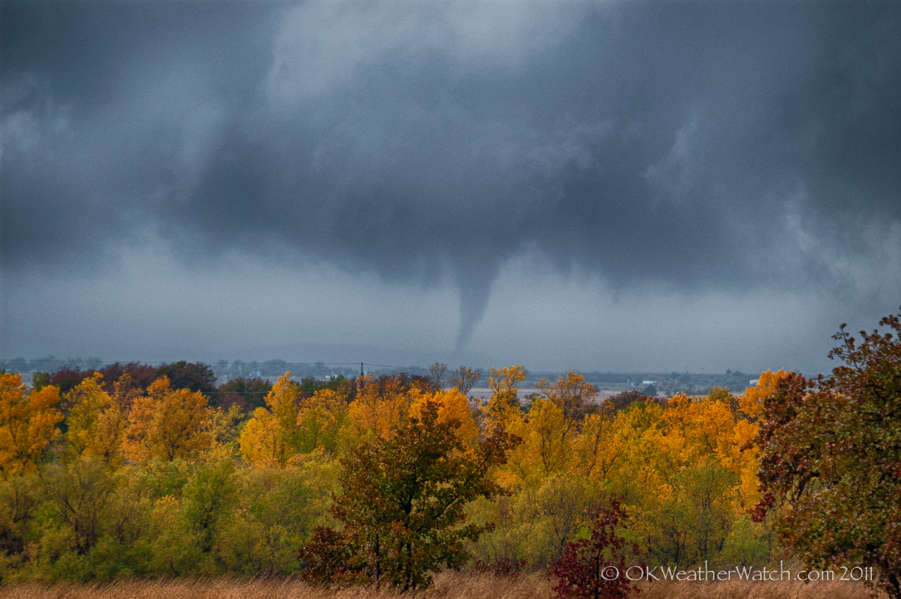
2011-11-07_7840

Ragged Supercell
A little unusual...

We get the best sunsets around here 5

We get the best sunsets around here 2

We get the best sunsets around here 8

We get the best sunsets around here 4

We get the best sunsets around here 9

Ft.Cobb Lake Oklahoma-Greater White-Fronted Goose
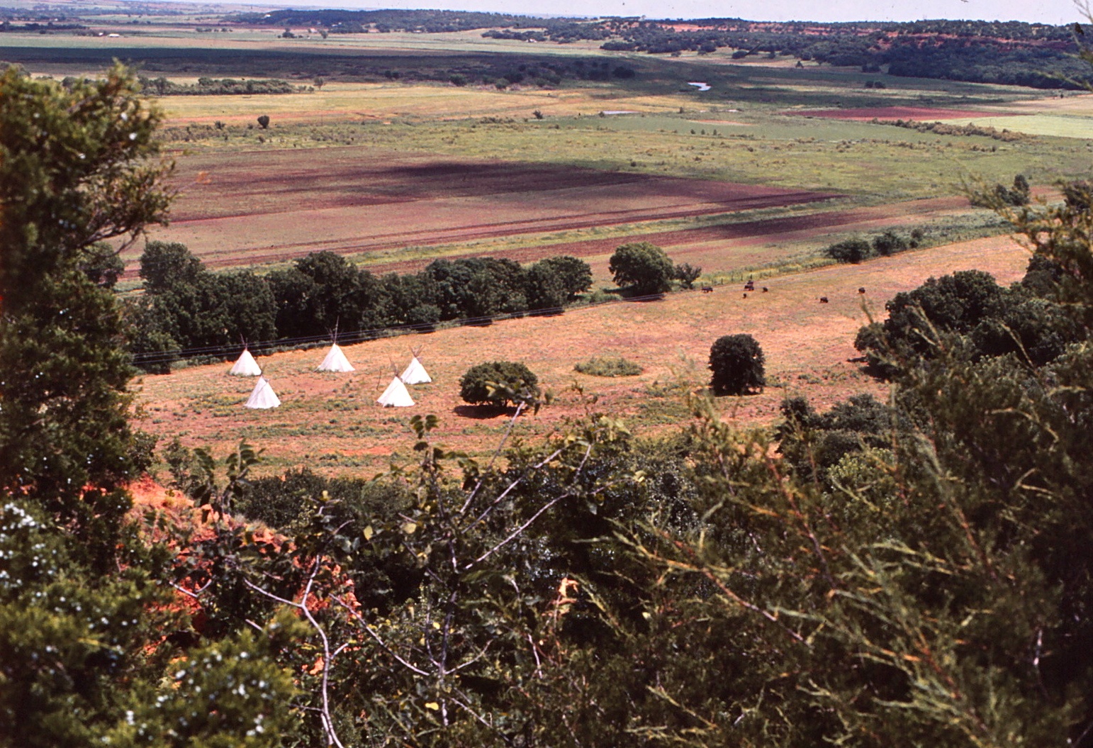
Oklahoma - Anadarko - Indian Village - July 1975
Oklahoma - Anadarko - Indian City - January 1972
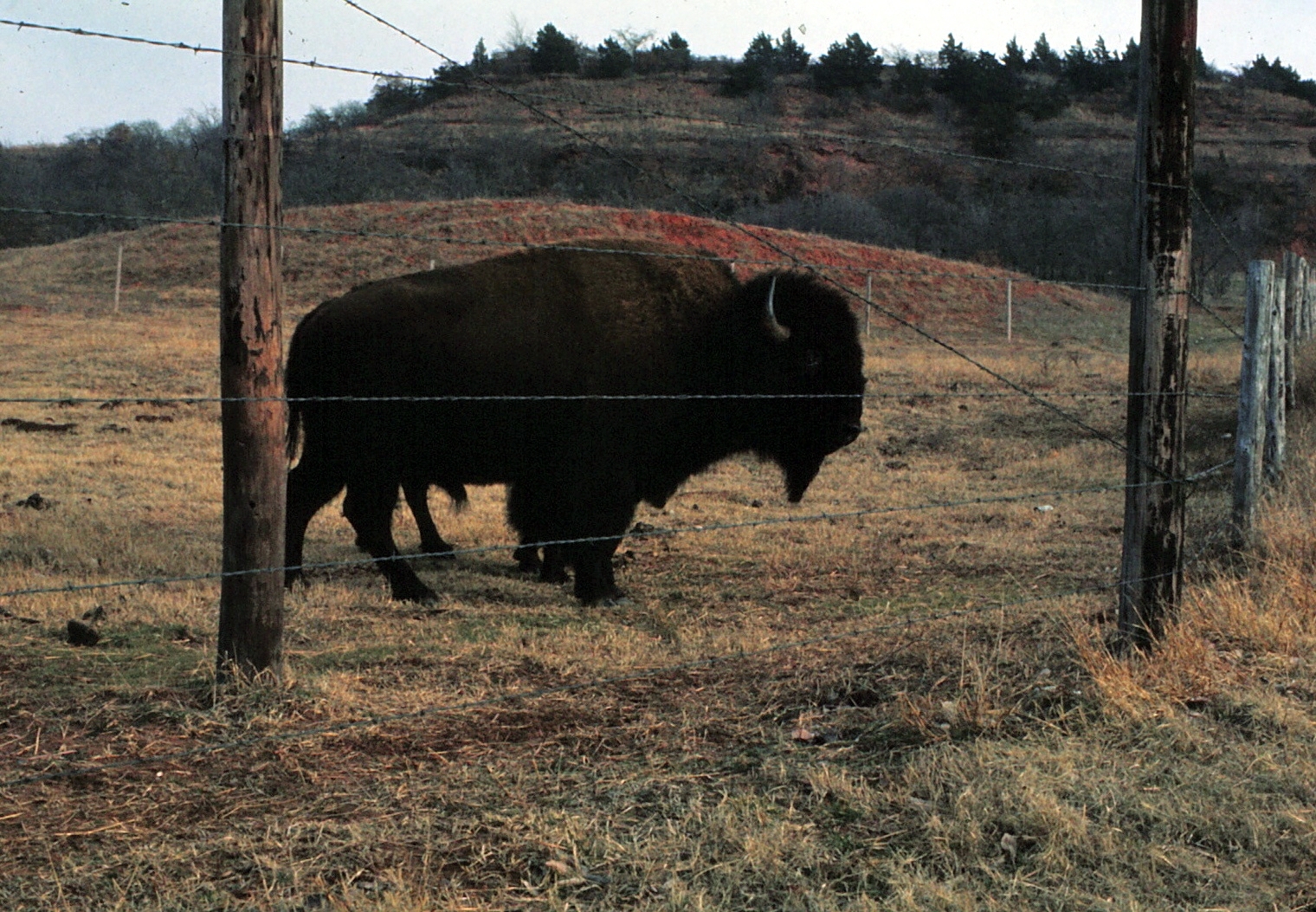
Southwestern Oklahoma Landscape (Caddo County, Oklahoma)

We get the best sunsets around here 3

Sunflowers-3

Sunflowers-2
Topographic Map of Caddo County, OK, USA
Find elevation by address:

Places in Caddo County, OK, USA:
Places near Caddo County, OK, USA:
Anadarko
Anadarko, OK, USA
Fort Cobb
W Main St, Anadarko, OK, USA
Cyril
S Oak St, Cement, OK, USA
Cement
Cement
U.s. 277
Cole Ave, Fletcher, OK, USA
Fletcher
Elgin
Elgin Public Schools
US-62, Elgin, OK, USA
3216 S 25th St
1406 S 19th St
Chickasha, OK, USA
Chickasha
W Choctaw Ave, Chickasha, OK, USA
Sterling
Recent Searches:
- Elevation of Corso Fratelli Cairoli, 35, Macerata MC, Italy
- Elevation of Tallevast Rd, Sarasota, FL, USA
- Elevation of 4th St E, Sonoma, CA, USA
- Elevation of Black Hollow Rd, Pennsdale, PA, USA
- Elevation of Oakland Ave, Williamsport, PA, USA
- Elevation of Pedrógão Grande, Portugal
- Elevation of Klee Dr, Martinsburg, WV, USA
- Elevation of Via Roma, Pieranica CR, Italy
- Elevation of Tavkvetili Mountain, Georgia
- Elevation of Hartfords Bluff Cir, Mt Pleasant, SC, USA