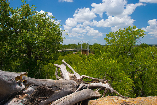
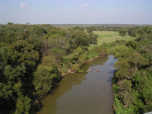
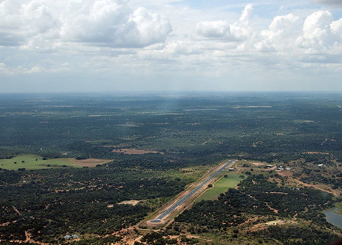
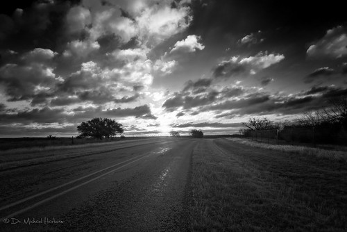
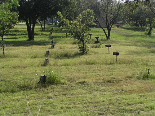
Elevation of C R, Goldthwaite, TX, USA
Location: United States > Texas > Mills County > Mullin >
Longitude: -98.736312
Latitude: 31.448527
Elevation: 384m / 1260feet
Barometric Pressure: 97KPa
Related Photos:
Topographic Map of C R, Goldthwaite, TX, USA
Find elevation by address:

Places near C R, Goldthwaite, TX, USA:
Mullin
Sherman St, Mullin, TX, USA
Co Rd, Zephyr, TX, USA
Goldthwaite
Parker St, Goldthwaite, TX, USA
County Road, Early, TX, USA
Trigger Mountain Cemetery
San Saba County
County Road 133
391 Co Rd 190
Mills County
Zephyr
Farm To Market Road 1480
14 Co Rd 192
C R 110
San Saba
2005 W Commerce St
FM, Brownwood, TX, USA
700 Farm To Market 590
Priddy
Recent Searches:
- Elevation of Corso Fratelli Cairoli, 35, Macerata MC, Italy
- Elevation of Tallevast Rd, Sarasota, FL, USA
- Elevation of 4th St E, Sonoma, CA, USA
- Elevation of Black Hollow Rd, Pennsdale, PA, USA
- Elevation of Oakland Ave, Williamsport, PA, USA
- Elevation of Pedrógão Grande, Portugal
- Elevation of Klee Dr, Martinsburg, WV, USA
- Elevation of Via Roma, Pieranica CR, Italy
- Elevation of Tavkvetili Mountain, Georgia
- Elevation of Hartfords Bluff Cir, Mt Pleasant, SC, USA
