Elevation of Byrtus Pl, Brookings, OR, USA
Location: United States > Oregon > Curry County > Brookings >

Longitude: -124.29519

Latitude: 42.0509858

Elevation: 31m / 102feet

Barometric Pressure: 101KPa

Elevation Map:

elevation map of Byrtus Pl, Brookings, OR, USA
Satellite Map:

Satellite map of Byrtus Pl, Brookings, OR, USA

Related Photos:

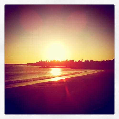
square toaster squareformat iphoneography instagramapp uploaded:by=instagram foursquare:venue=4ba40bbef964a5205c7b38e3
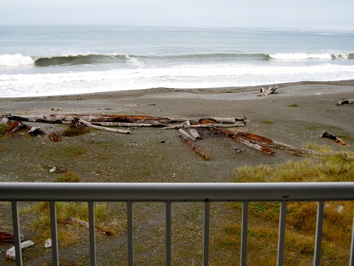
Balcony view. Epic.
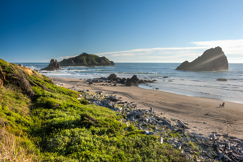
ranch park beach oregon island coast state hiking trail lone boardman samuel brookings whaleshead wsweekly112
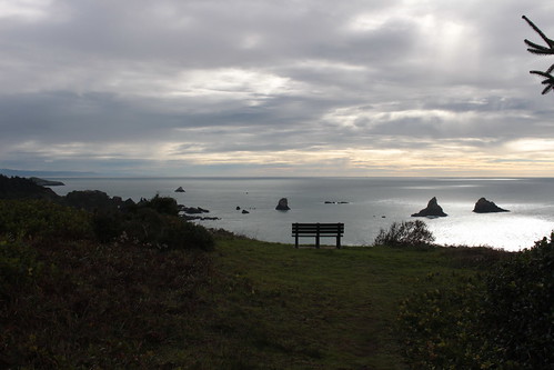
Bench with a view
The view, right now
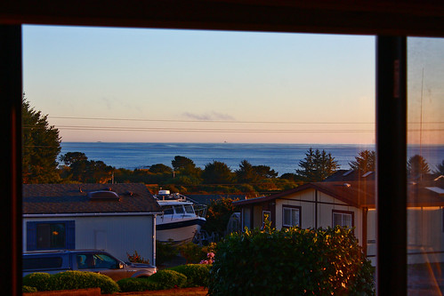
View from Brookings Best Western
Day 2 - Cape Ferrelo
Morning has broken
oregon coast pacificocean boardmanstatepark northislandtrail
north island trail view
sunset geotagged evening brookingsoregon threeifyoucountthepelican geo:lat=42068586 geo:lon=124316332
Oregon Coast Sunset Watchers Club - Membership, 2
beach oregon office rocks waves stranger richard lee stephens brookings 3100 privateinvestigator harrisbeachstatepark harrisbeach
Richard 3/100
canonefs55250mmf456is
Sparkly Windsock Thingy
ranch park beach oregon island coast state hiking trail lone boardman samuel brookings whaleshead wsweekly112
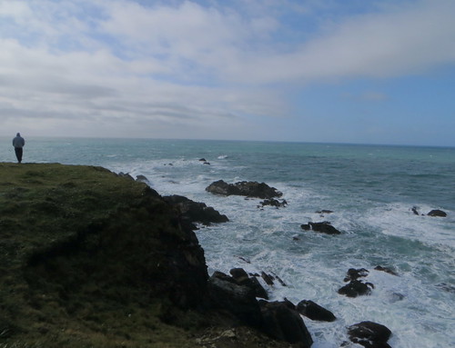
View in the general direction of Cape Ferrelo
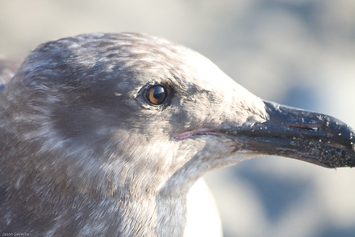
sunset bird eye nature animal closeup oregon unitedstates seagull brookings
Bird's Eye View
flower macro closeup 3d anaglyph stereo fujiw1
2011_0601Logonberry ana med 11
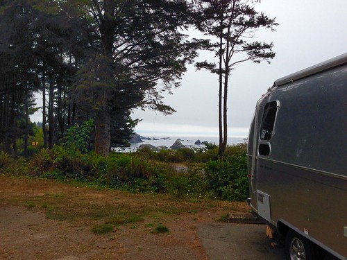
oregon campground airstream iphone harrisbeachstatepark currycounty iphone5 harrisbeachsp northofbrookings primocampsiteview
Primo camp site view for this Airstreamer!
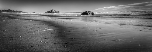
california blackandwhite beach northerncalifornia nikon pacificocean tamron hdr smithriver nikond700 283003563 kamphmemorialpark
Leading Lines
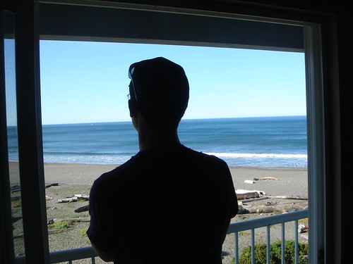
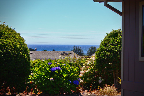
hotel room view
california beach northerncalifornia nikon pacificocean tamron hdr smithriver nikond700 283003563 kamphmemorialpark
Down the Beach
oregon coast al allie pacificocean brookings chetcopoint
one view of forever
beach driftwood brookings
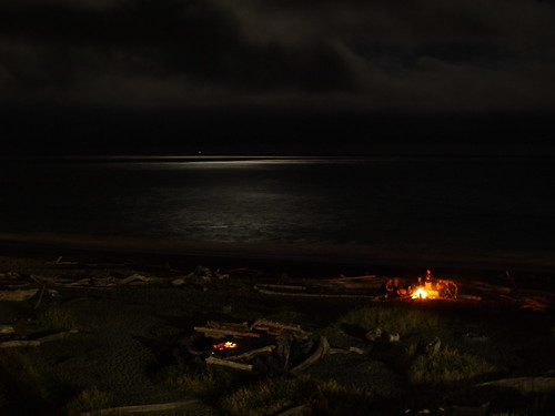
Bonfire on the beach.
The View
ranch park beach oregon island coast state hiking trail lone boardman samuel brookings whaleshead wsweekly112
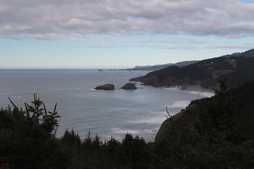
View to Whaleshead Island
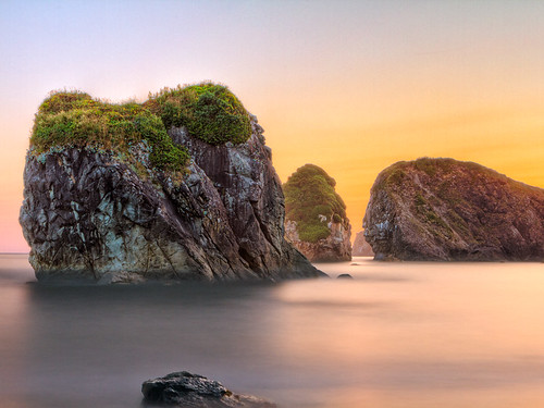
coast stack sea ocean beach pacific rock water longexposure nature oregon seastack
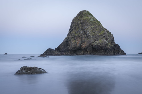
First Light
ocean california ca blue sunset sea sky usa cloud seascape beach nature beautiful oregon canon wonderful landscape photography coast us interesting fantastic rocks natural pacific image top awesome tide arnold picture peaceful wave pic best calif cal photograph shore serenity howto pacificnorthwest getty sensational coastline serene redwood bluehour unusual geology westcoast brookings hwy101 highway101 californiacoast delnortecounty seastack stupendous takingphotos northcoast californiabeach whereto coasthighway beachrock redwoodcoast wildriver davearnold delnorteco 5dmkiii davearnoldphotocom whento wildrivercoast smithriverancheria smithriverbeach yontocket
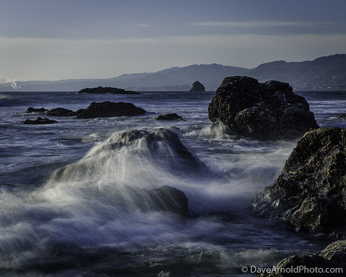
Crunch the numbers
ocean beach rock oregon coast nikon gray climbing soren d90 flickerfriday imonlyhuman
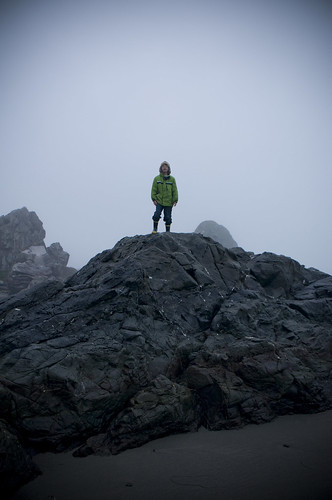
On Top #ImOnlyHuman
california oregon highway1 brookings pacificcoast 101roadtrip
Oregon gold
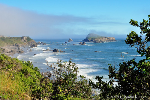
ocean fog oregon coast rocks brookings
Oregon!
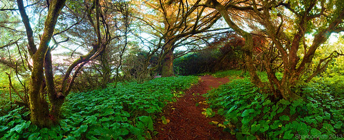
park trees 3 oregon point path trail zen greens pathway chetco
Chetco Point Park
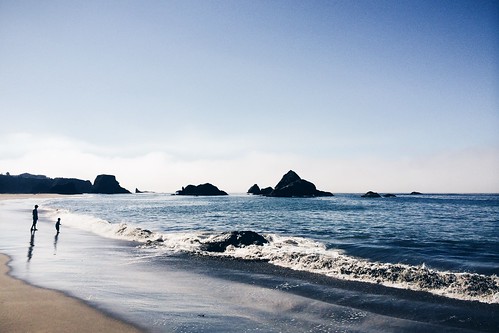
morning summer beach silhouette oregon pacificocean dailies 2014 harrisbeachstatepark iphone5s
09-09-2014
ocean statepark longexposure blue sea orange usa moon beach beautiful beauty oregon photography coast us photo waves pacific image or tide arnold picture wave pic professional 101 photograph le howto getty pro bluehour lowtide geology boardman geo westcoast seashore ore brookings hwy101 highway101 pacificcoast crescentmoon seastack southernoregon whereto waterinmotion flowingwater crashingwave davearnold liquidmotion currycounty milkywater loneranch samuelboardman samuelhboardman thingstoseeinoregon davearnoldphotocom mygearandme rememberthatmomentlevel1 rememberthatmomentlevel2 rememberthatmomentlevel3 thingstophotographinoregon scenicorridor
Smile less and dress up some more
Ocean Rock At Sunset
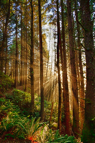
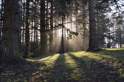
trees light oregon forest woods brookings sunbeams azaleapark
Azalea Park, Brookings, Oregon
review
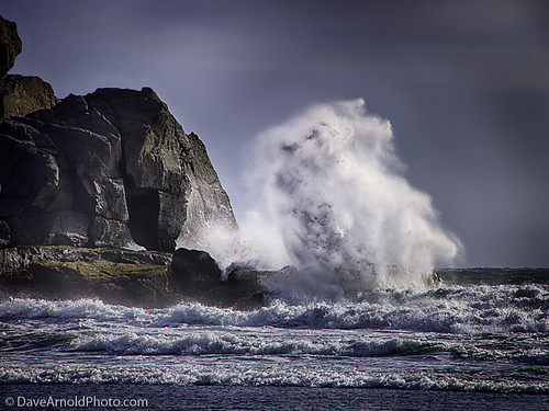
Big Waves
highway101 or waves brookings unitedstates harrisbeach coastline coast
Harris Beach OR
park longexposure sunset color beach oregon islands state pacificocean harris hdr ef2470mmf28lusm 2011 photomatix nd110 canon7d frankknapp
Westward Migration
ocean longexposure sunset motion west reflection nature colors clouds oregon landscape sand waves pacific vibrant scenic boulder filter oregoncoast current
All is calm...
Coast trip-27.jpg
ranch park beach oregon island coast state hiking trail lone boardman samuel brookings whaleshead wsweekly112
Panorama above Lone Ranch Beach
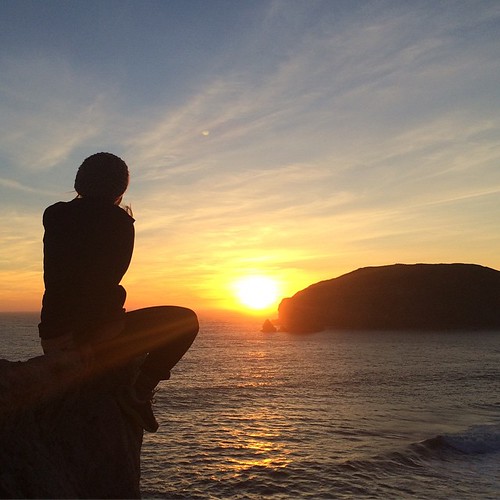
square squareformat iphoneography instagramapp uploaded:by=instagram foursquare:venue=4c2fd81f16adc9280652be9c
She would never miss a sunset, on the west side of the beach....Oregon is beautiful! #roadtrip #harrisbeach #sunset #lifeoutside #oregon
ranch park beach oregon island coast state hiking trail lone boardman samuel brookings whaleshead wsweekly112
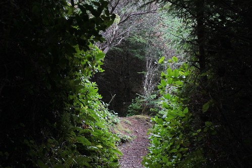
The tunnel of doom
ranch park beach oregon island coast state hiking trail lone boardman samuel brookings whaleshead wsweekly112
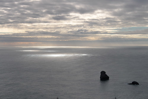
House Rock appreciates the light show
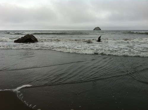
bird in flight
ranch park beach oregon island coast state hiking trail lone boardman samuel brookings whaleshead wsweekly112
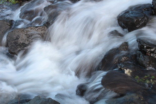
Rushing creek