Elevation of Byron St, Manor Township, PA, USA
Location: United States > Pennsylvania > Armstrong County > Manor Township > Ford City >
Longitude: -79.521715
Latitude: 40.7832151
Elevation: 244m / 801feet
Barometric Pressure: 98KPa
Elevation Map:
Satellite Map:
Related Photos:
Morning View

My Fiancé

West Franklin Twp ice 02062018

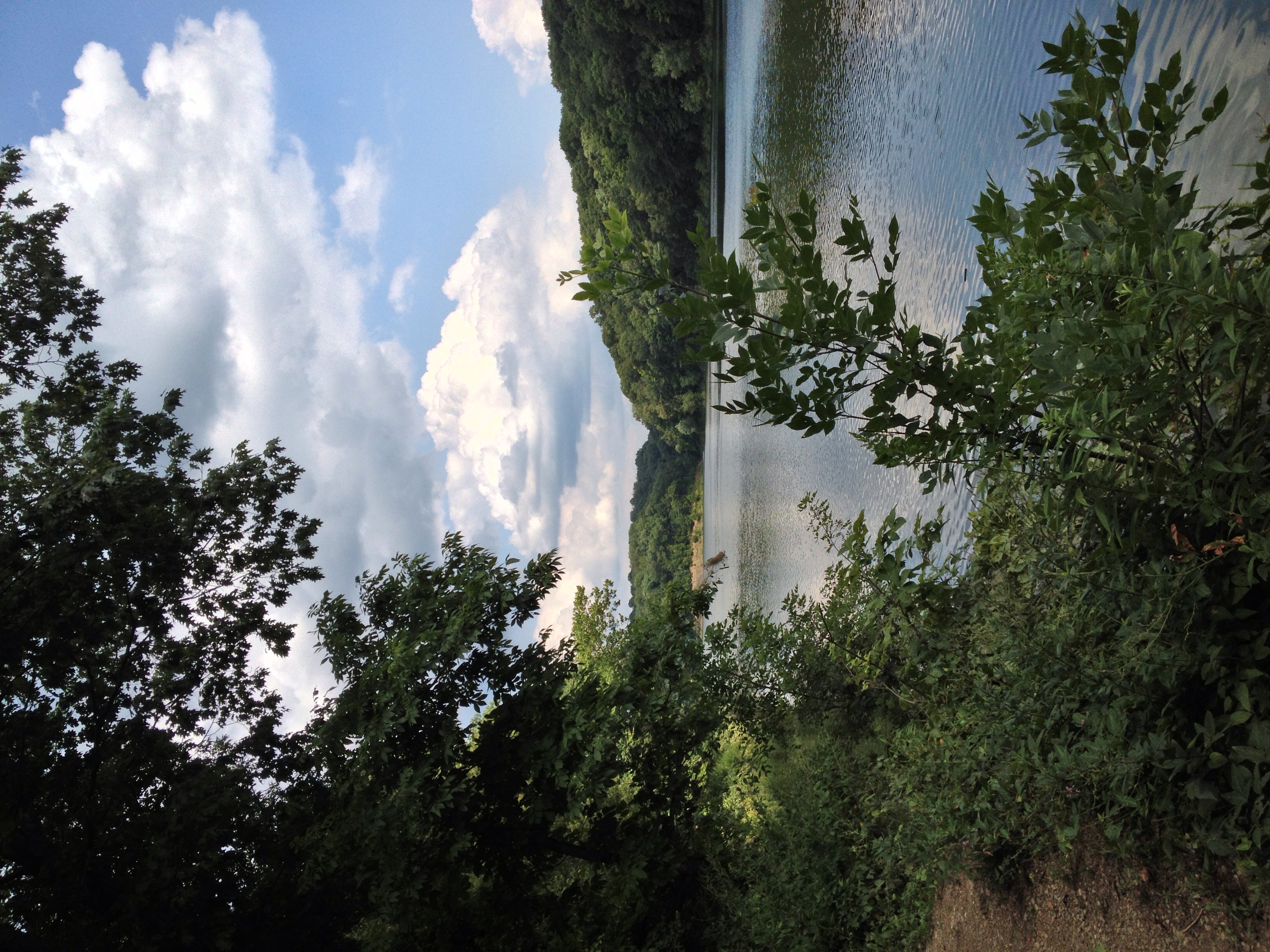
Sunset on the Allegheny
kaceypics 021

Buttermilk Falls, Armstrong County Pennsylvania
ElginOld Presbyterian

BP 3064
Willow Road Dairy and reflection HDR

BP 3064

Abanoned Hanson Aggregates

Todd Sanctuary

Buttermilk Falls Near Kittanning PA
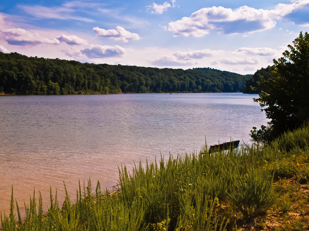
Crooked Creek Lake

Winter along the Cowanshannock Trail at Buttermilk Falls
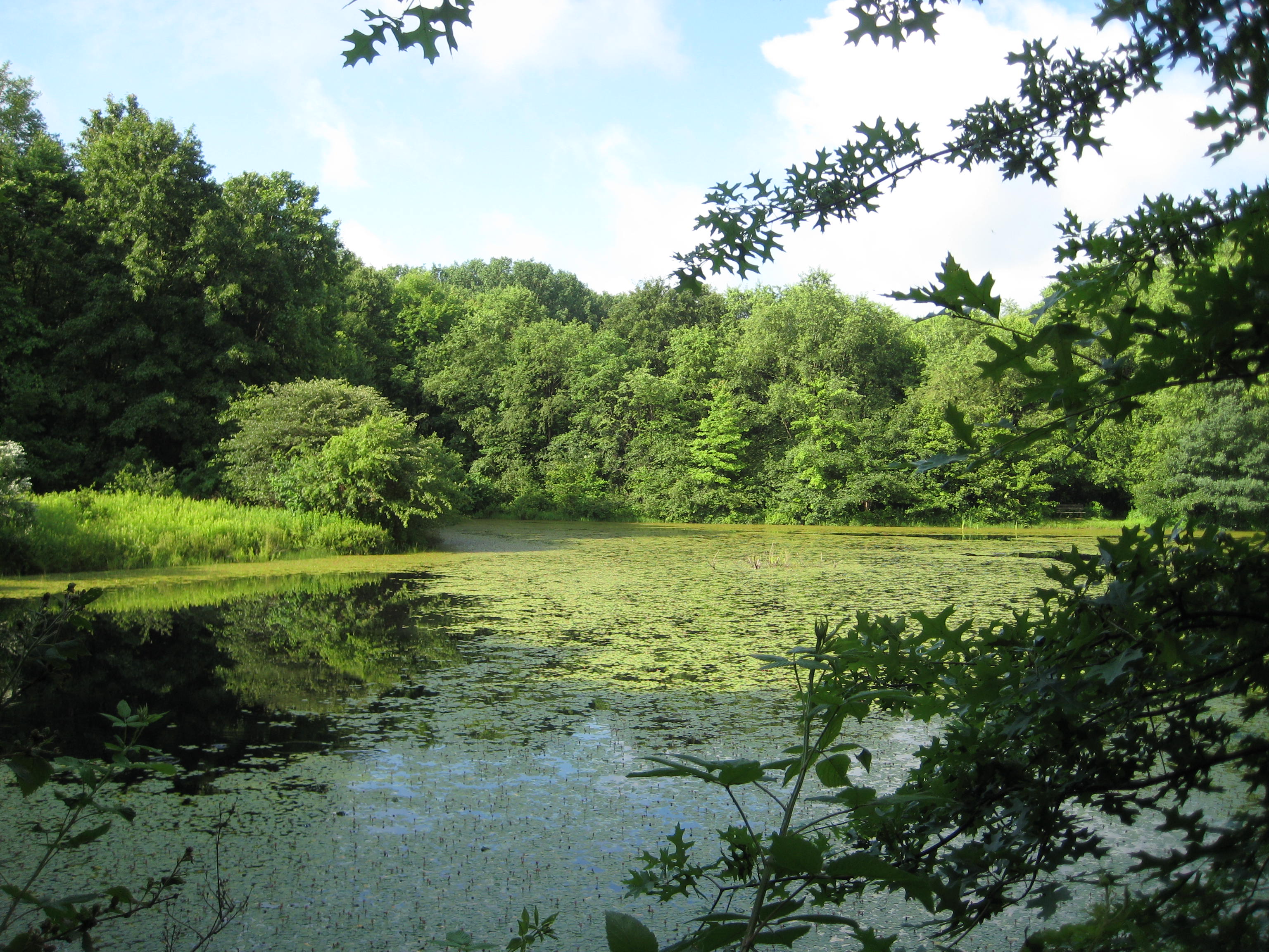
Pond scene at Todd Sanctuary
Some outdoor adventure
Topographic Map of Byron St, Manor Township, PA, USA
Find elevation by address:

Places near Byron St, Manor Township, PA, USA:
116 Elsie Ln
Arthur St, Kittanning, PA, USA
West Kittanning
Pine Hill Road
Kittanning
478 E High St
1151 Wilson Ave
West Hills
Lasher Rd, Kittanning, PA, USA
106 Hickory Ln
Main St, Kittanning, PA, USA
11681 Pa-85
221 State Rte 3009
Adrian
Adrian Store
East Franklin Township
Armstrong County
Bear St, Worthington, PA, USA
Worthington
120 Edwards Estates Rd
Recent Searches:
- Elevation of Corso Fratelli Cairoli, 35, Macerata MC, Italy
- Elevation of Tallevast Rd, Sarasota, FL, USA
- Elevation of 4th St E, Sonoma, CA, USA
- Elevation of Black Hollow Rd, Pennsdale, PA, USA
- Elevation of Oakland Ave, Williamsport, PA, USA
- Elevation of Pedrógão Grande, Portugal
- Elevation of Klee Dr, Martinsburg, WV, USA
- Elevation of Via Roma, Pieranica CR, Italy
- Elevation of Tavkvetili Mountain, Georgia
- Elevation of Hartfords Bluff Cir, Mt Pleasant, SC, USA