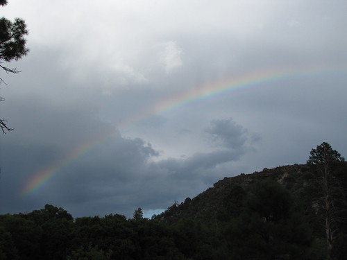
Elevation of Buzzard Peak, New Mexico, USA
Location: United States > New Mexico > Reserve >
Longitude: -108.56978
Latitude: 33.6820008
Elevation: 2927m / 9603feet
Barometric Pressure: 71KPa
Related Photos:
Topographic Map of Buzzard Peak, New Mexico, USA
Find elevation by address:

Places near Buzzard Peak, New Mexico, USA:
Eagle Peak
Pinon Knob
Milligan Mountain
Sheep Basin Divide
Willow Spring Mountain
Sign Camp Mountain
Elk Mountain
Gila National Forest
Reserve
196 Nm-435
Deep Creek Divide
Salvation Peak
Mogollon Divide
Saliz Mountains Hp
Dipping Vat Campground
O Bar O Mountain
Middle Elk Mountain
Lost Lake Mountain
Prairie Peak
Cottonwood Campground
Recent Searches:
- Elevation of Corso Fratelli Cairoli, 35, Macerata MC, Italy
- Elevation of Tallevast Rd, Sarasota, FL, USA
- Elevation of 4th St E, Sonoma, CA, USA
- Elevation of Black Hollow Rd, Pennsdale, PA, USA
- Elevation of Oakland Ave, Williamsport, PA, USA
- Elevation of Pedrógão Grande, Portugal
- Elevation of Klee Dr, Martinsburg, WV, USA
- Elevation of Via Roma, Pieranica CR, Italy
- Elevation of Tavkvetili Mountain, Georgia
- Elevation of Hartfords Bluff Cir, Mt Pleasant, SC, USA
