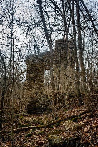
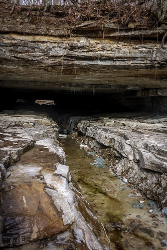
Elevation of Butlerville, IN, USA
Location: United States > Indiana > Jennings County > Campbell Township >
Longitude: -85.512780
Latitude: 39.0340526
Elevation: 247m / 810feet
Barometric Pressure: 98KPa
Related Photos:
Topographic Map of Butlerville, IN, USA
Find elevation by address:

Places in Butlerville, IN, USA:
Places near Butlerville, IN, USA:
N Main St, Butlerville, IN, USA
Campbell Township
E County Rd N, Butlerville, IN, USA
US-50, Butlerville, IN, USA
Market St, North Vernon, IN, USA
North Vernon
E Walnut St, North Vernon, IN, USA
Center Township
Sand Creek Township
287 Oakridge Dr
Holton
Big Oaks National Wildlife Refuge
N Reynolds Rd, Dupont, IN, USA
Dupont
Otter Creek Township
Westport
Lancaster Township
Shelby Township
Main St, Versailles, IN, USA
S Co Rd W, Westport, IN, USA
Recent Searches:
- Elevation of Corso Fratelli Cairoli, 35, Macerata MC, Italy
- Elevation of Tallevast Rd, Sarasota, FL, USA
- Elevation of 4th St E, Sonoma, CA, USA
- Elevation of Black Hollow Rd, Pennsdale, PA, USA
- Elevation of Oakland Ave, Williamsport, PA, USA
- Elevation of Pedrógão Grande, Portugal
- Elevation of Klee Dr, Martinsburg, WV, USA
- Elevation of Via Roma, Pieranica CR, Italy
- Elevation of Tavkvetili Mountain, Georgia
- Elevation of Hartfords Bluff Cir, Mt Pleasant, SC, USA
