Elevation of Butler, IA, USA
Location: United States > Iowa > Scott County >
Longitude: -90.5068824
Latitude: 41.7396256
Elevation: 191m / 627feet
Barometric Pressure: 0KPa
Related Photos:

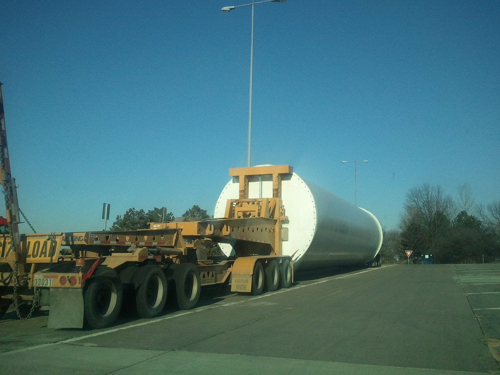
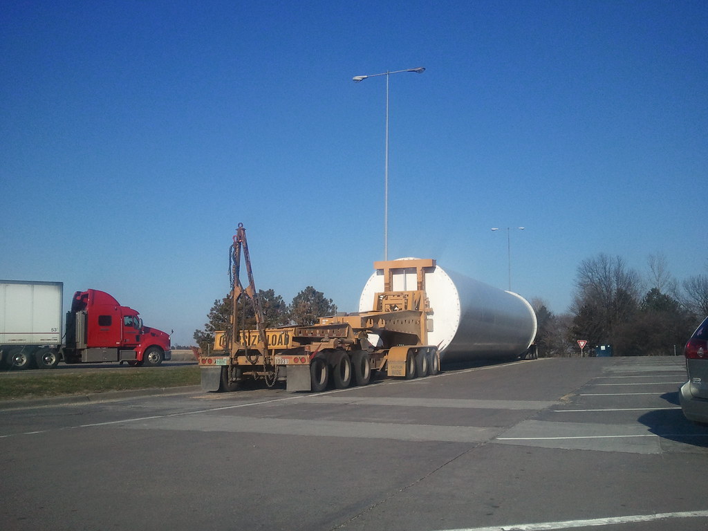
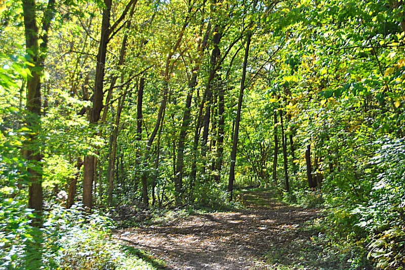
Big Sled Hill

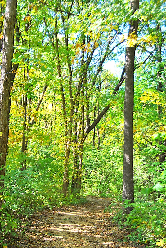
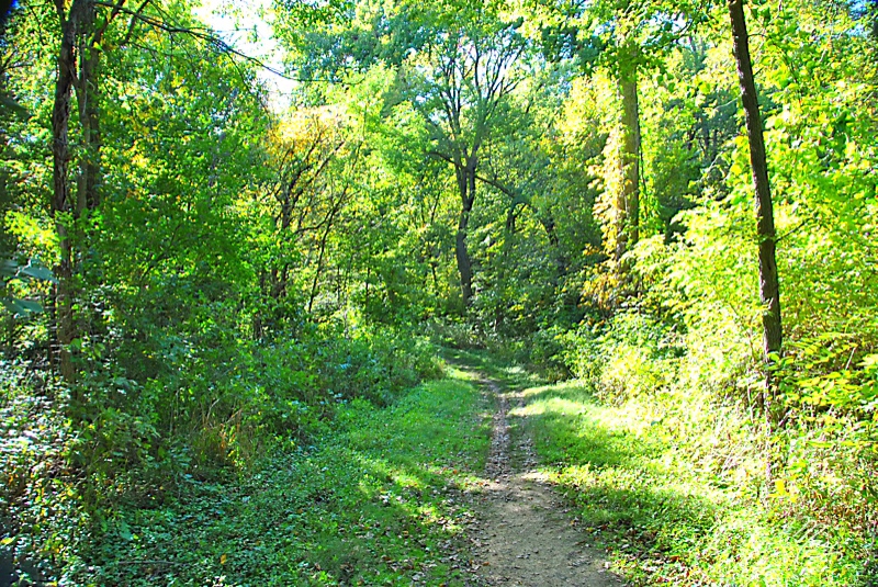
Park View, Jul 26, 2008

2011-03-30 18.57.32

2011-03-30 19.01.40

2011-03-30 17.49.05
2011-03-30 17.48.38
2011-03-30 17.48.24

Got Yellow?
Oct 2, 2011 2:12 PM
Oct 2, 2011 2:44 PM
Oct 2, 2011 2:16 PM
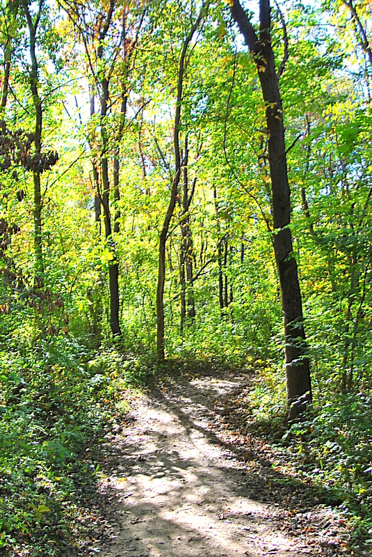
Image of Silence
Oct 2, 2011 2:56 PM

Oct 2, 2011 2:29 PM

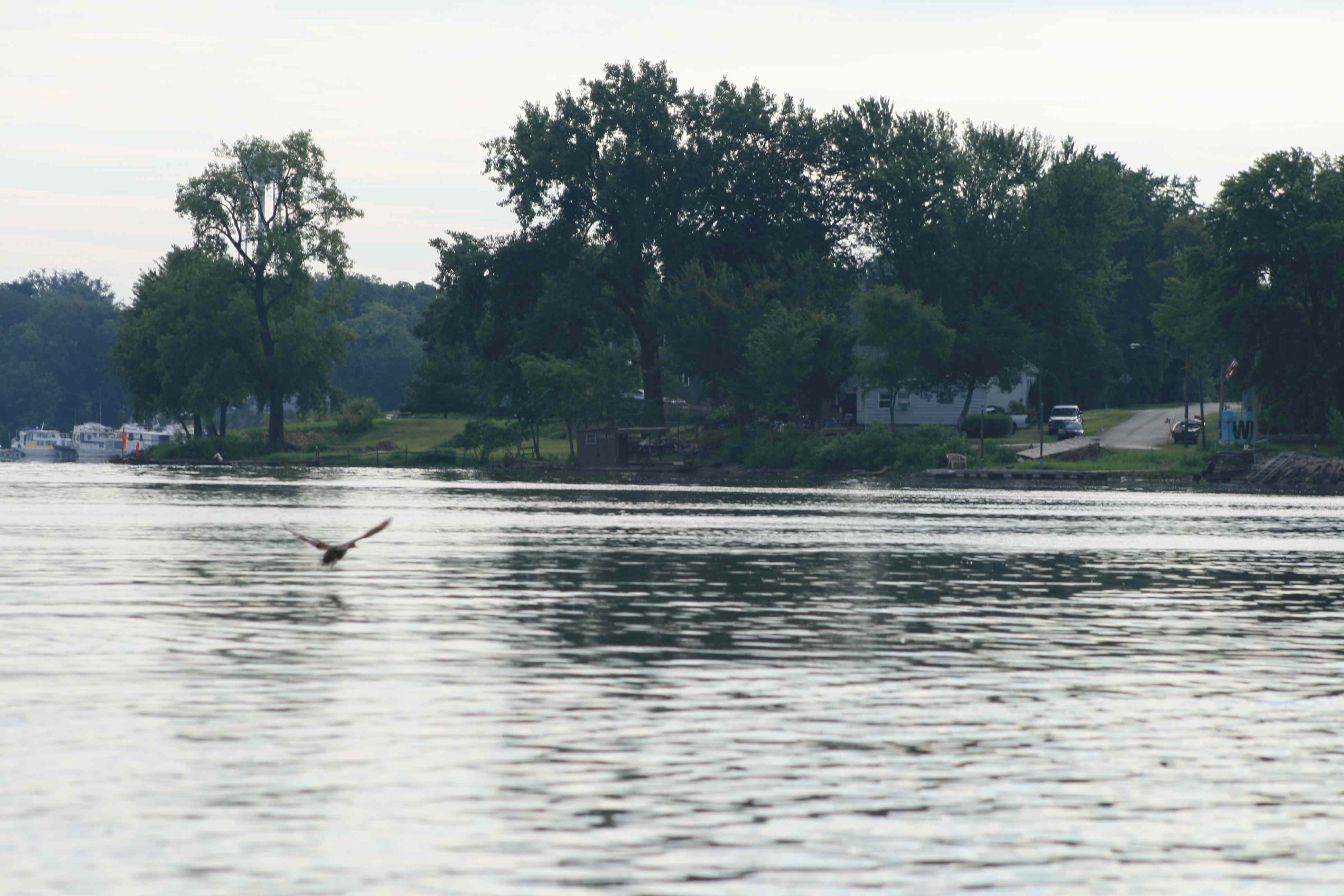
Kayaking-Mississippi-Backwaters
Oct 2, 2011 2:50 PM
Oct 2, 2011 2:34 PM
Oct 2, 2011 2:24 PM
Oct 2, 2011 2:15 PM
Oct 2, 2011 2:12 PM
Oct 2, 2011 2:22 PM

Rolling Fields

Oct 2, 2011 2:23 PM

Oct 2, 2011 2:48 PM
Oct 2, 2011 2:13 PM

Oct 2, 2011 2:26 PM
Running Lines

20130623-IMG_4528_reduced-2
Topographic Map of Butler, IA, USA
Find elevation by address:

Places in Butler, IA, USA:
Places near Butler, IA, USA:
27121 185th Ave
5 Manor Ct
5 Parkview Dr, Eldridge, IA, USA
Park View
Mccausland
E Ives St, Long Grove, IA, USA
De Witt
Dewitt
1824 11th St
1824 11th St
Eldridge
Princeton
Eden
Sheridan
Clinton County
Co Hwy Z36, Camanche, IA, USA
Hillandale Rd, Davenport, IA, USA
1910 E 60th Cir
5500 Lakeview Pkwy
3rd St, Camanche, IA, USA
Recent Searches:
- Elevation map of Greenland, Greenland
- Elevation of Sullivan Hill, New York, New York, 10002, USA
- Elevation of Morehead Road, Withrow Downs, Charlotte, Mecklenburg County, North Carolina, 28262, USA
- Elevation of 2800, Morehead Road, Withrow Downs, Charlotte, Mecklenburg County, North Carolina, 28262, USA
- Elevation of Yangbi Yi Autonomous County, Yunnan, China
- Elevation of Pingpo, Yangbi Yi Autonomous County, Yunnan, China
- Elevation of Mount Malong, Pingpo, Yangbi Yi Autonomous County, Yunnan, China
- Elevation map of Yongping County, Yunnan, China
- Elevation of North 8th Street, Palatka, Putnam County, Florida, 32177, USA
- Elevation of 107, Big Apple Road, East Palatka, Putnam County, Florida, 32131, USA
- Elevation of Jiezi, Chongzhou City, Sichuan, China
- Elevation of Chongzhou City, Sichuan, China
- Elevation of Huaiyuan, Chongzhou City, Sichuan, China
- Elevation of Qingxia, Chengdu, Sichuan, China
- Elevation of Corso Fratelli Cairoli, 35, Macerata MC, Italy
- Elevation of Tallevast Rd, Sarasota, FL, USA
- Elevation of 4th St E, Sonoma, CA, USA
- Elevation of Black Hollow Rd, Pennsdale, PA, USA
- Elevation of Oakland Ave, Williamsport, PA, USA
- Elevation of Pedrógão Grande, Portugal