Elevation of Bussang, France
Location: France > Alsace-champagne-ardenne-lorraine > Vosges >
Longitude: 6.853509
Latitude: 47.885352
Elevation: 600m / 1968feet
Barometric Pressure: 94KPa
Elevation Map:
Satellite Map:
Related Photos:
2013-10-31 194
Fairy tale view
No Danger
Night Star
Free...
Saut du Bouchot - Soothing view
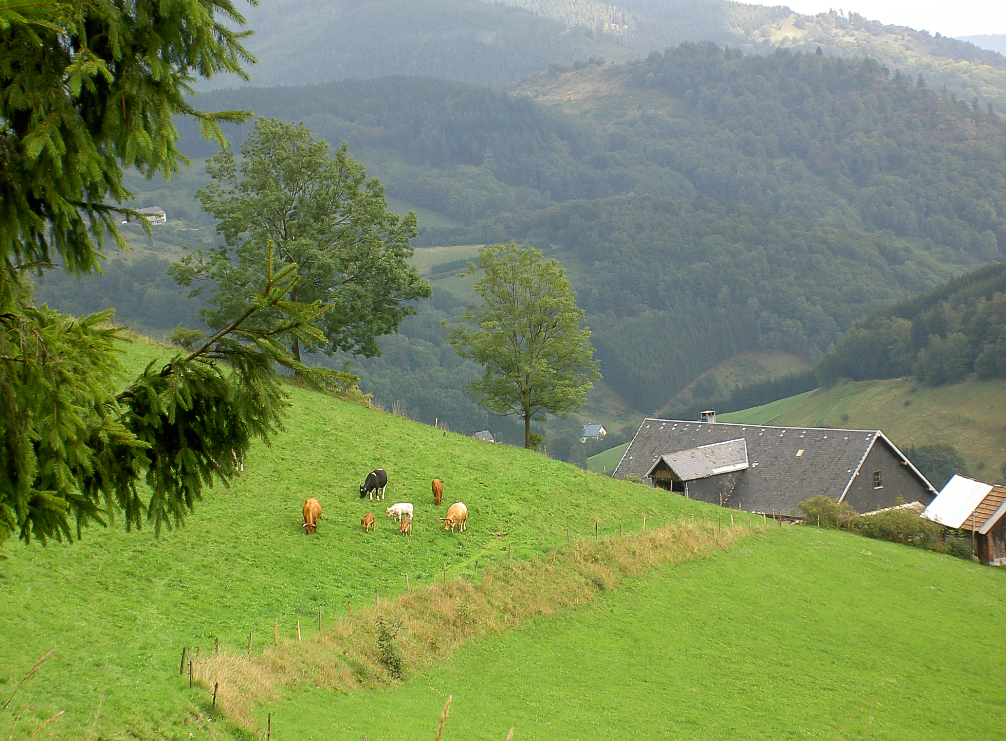
The green of the Vosges
Lac de Kruth-Wildenstein

Getting there and arrival in the dark. anxious to see tomorrow's views and skiing!
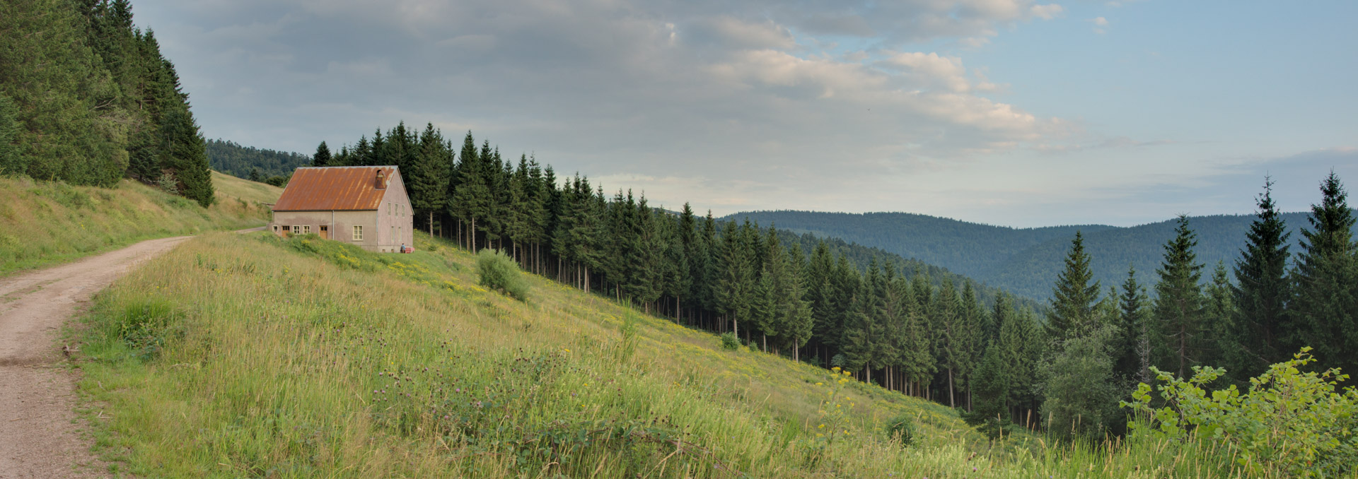
Old house with panoramic view
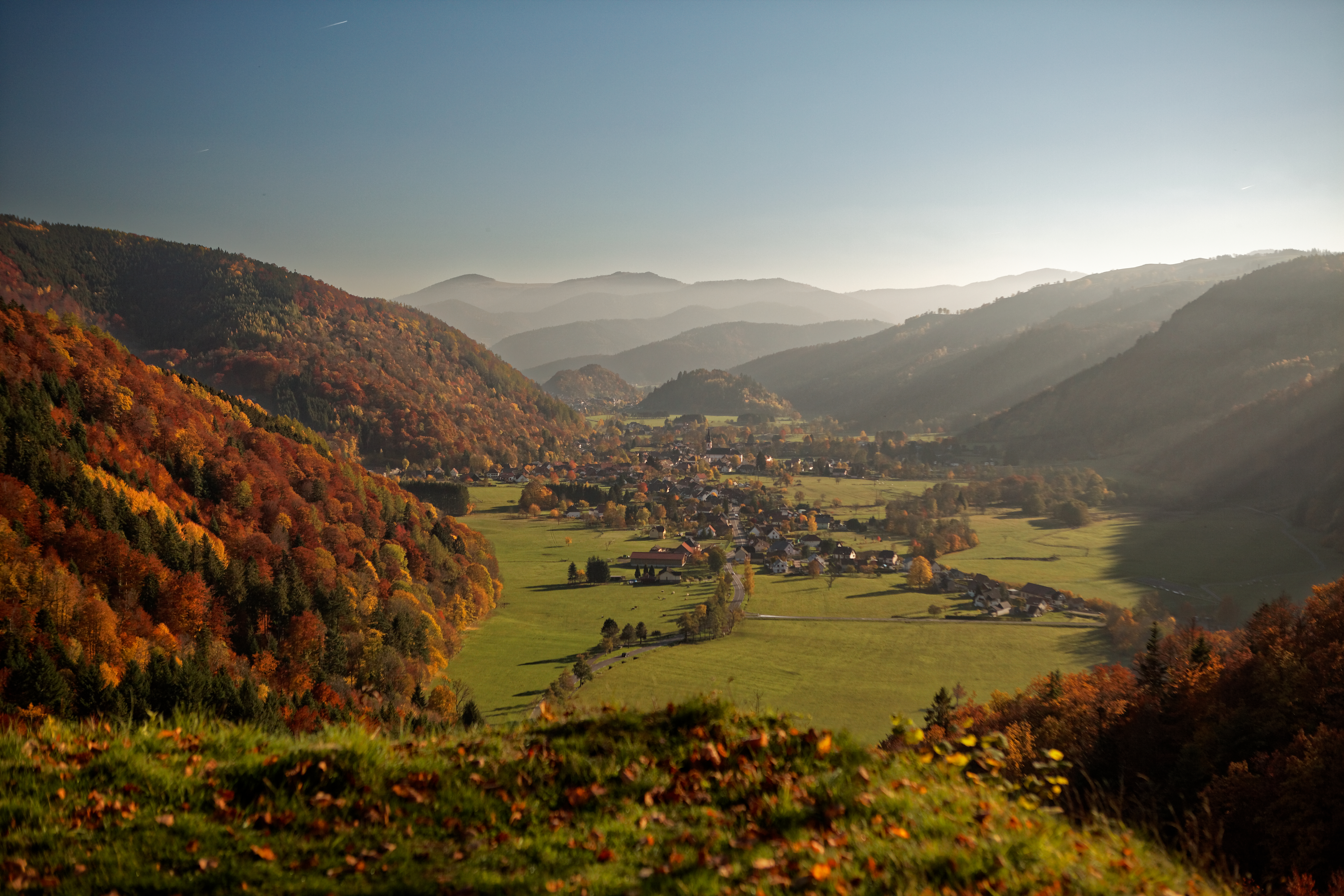
View into Val de Thur
La Bresse 2011-9701
FRIDAY'S FENCE
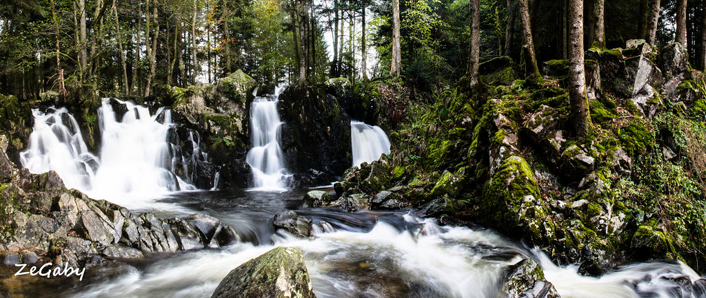
Goutte d'eau
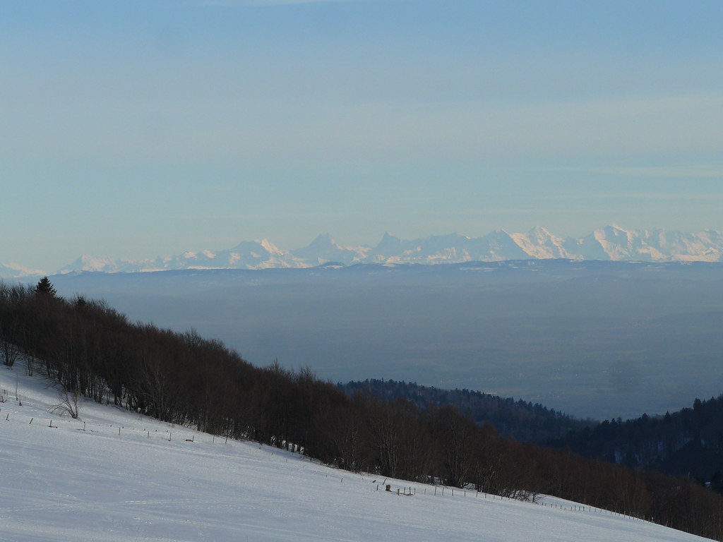
Vue sur les Alpes

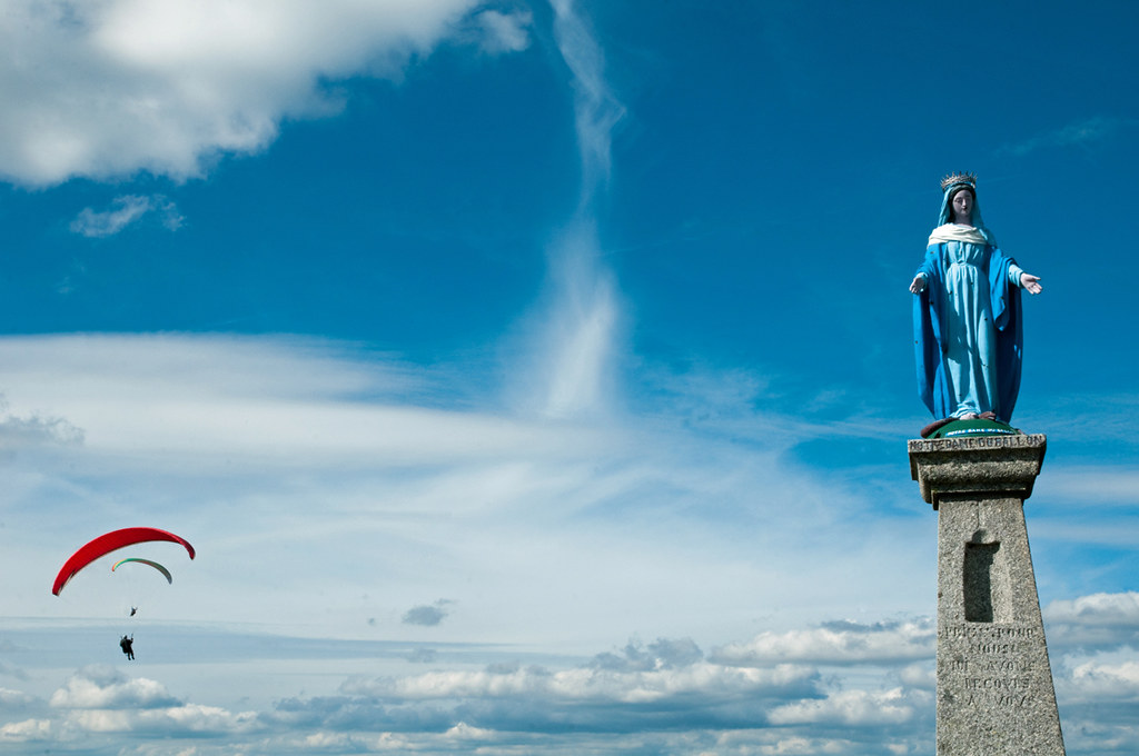
Faith mystery

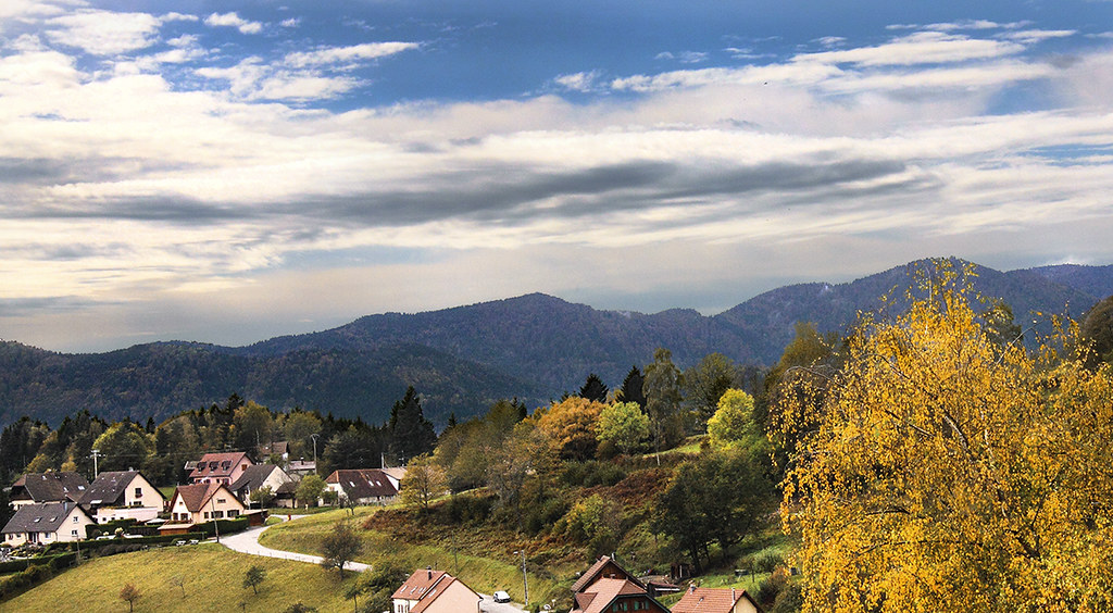
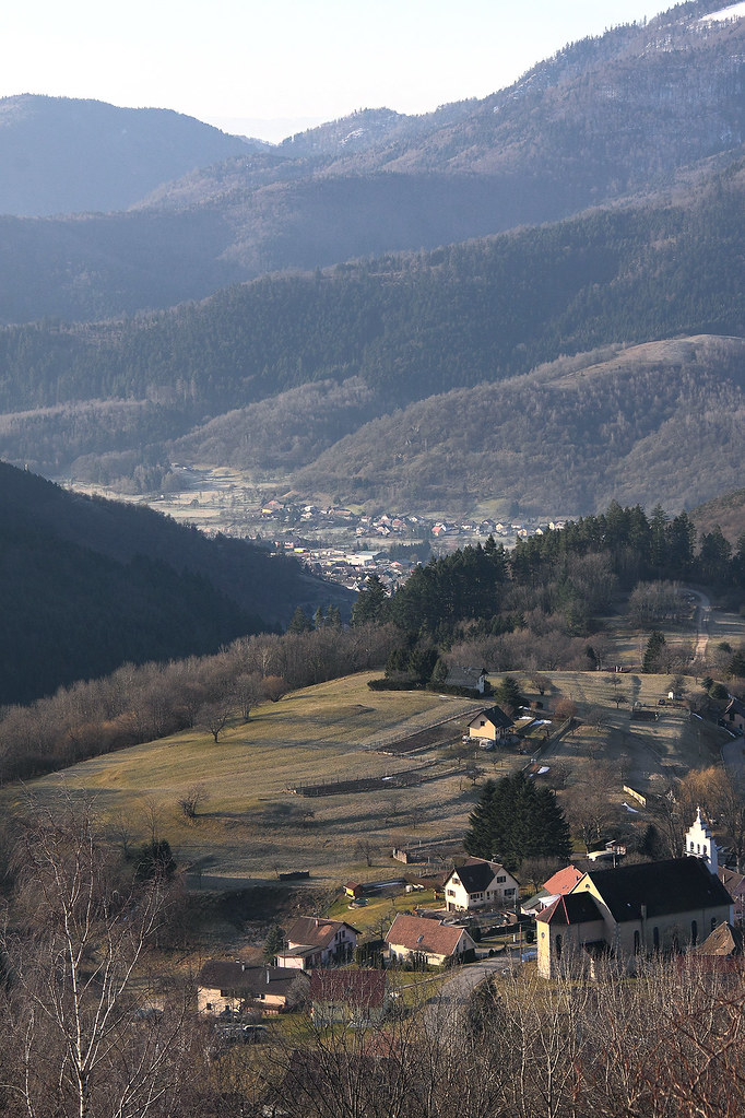
View Over the Valley
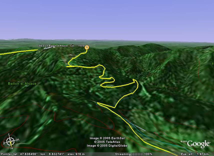
stage9-LeBallondAlsace
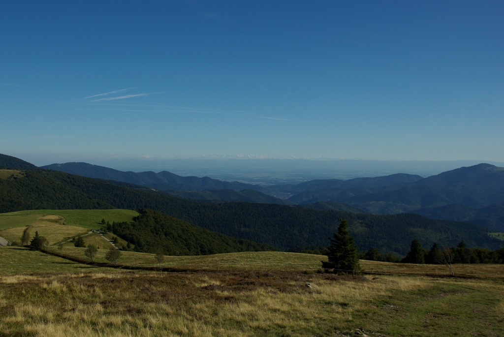
View on the Alps
Siebach Startplatz
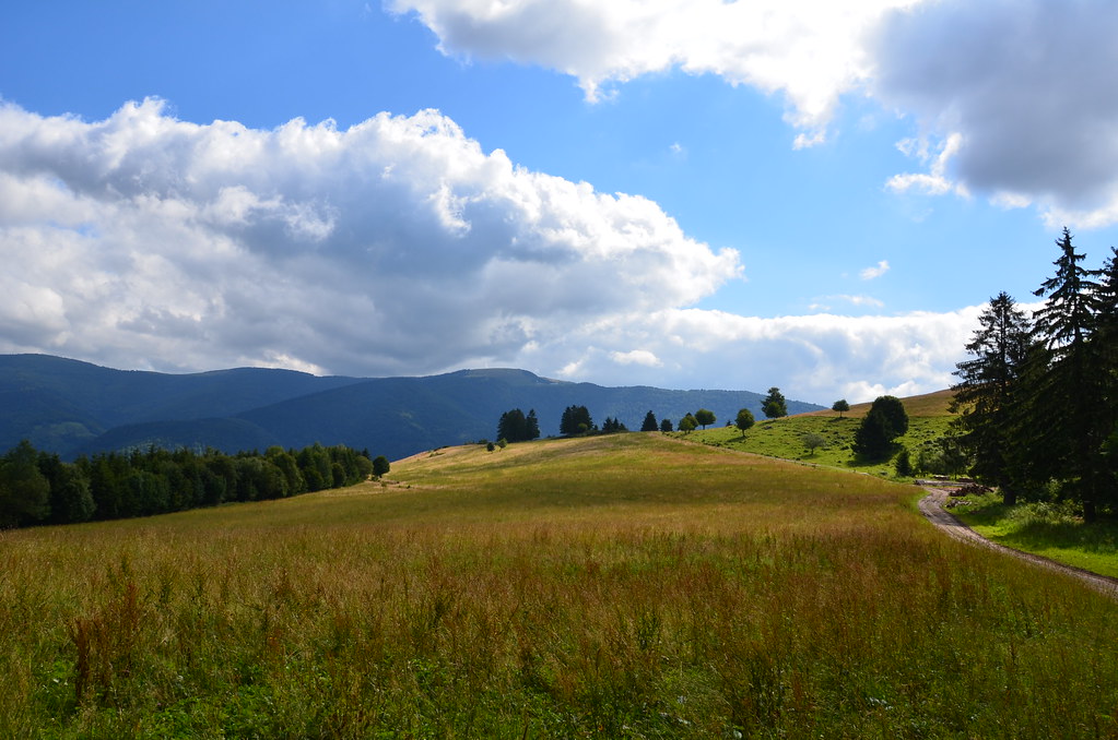
Autumn view
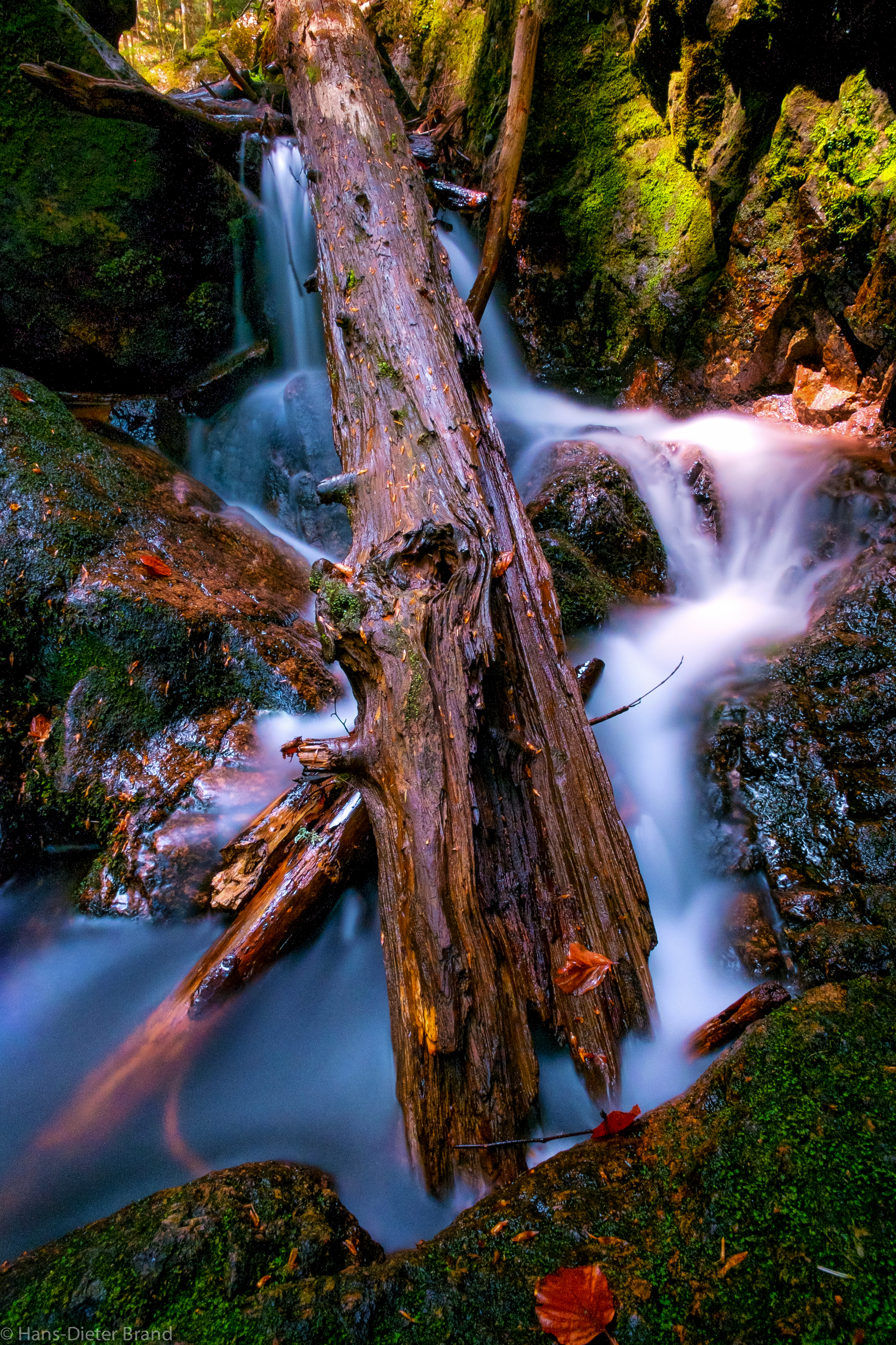
Le torrent
La clairière
Matin de novembre

PAYSAGE VOSGIEN
Niché à l'abri des sommets
Si , si c'est de la photo couleur
Plateau des Mille Etangs-2

Un ciel d'encre
Saut de la truite_2
HDR automnal
Le col de LANGENBACH (816m alt)
les Géants
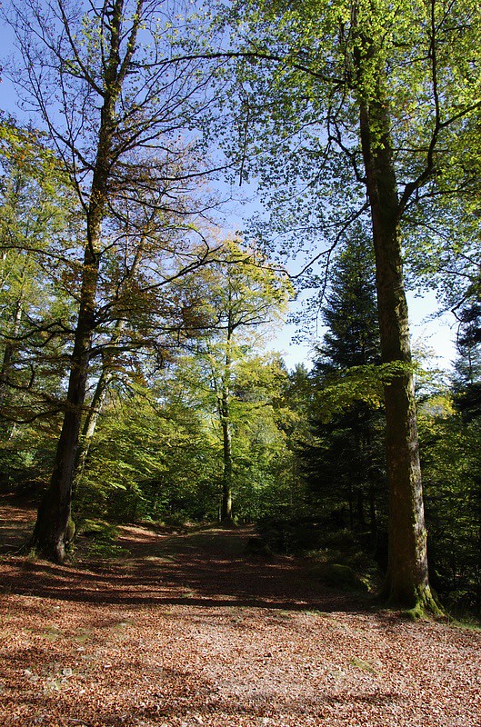
A l'orée de la forêt
Big Balloon

###
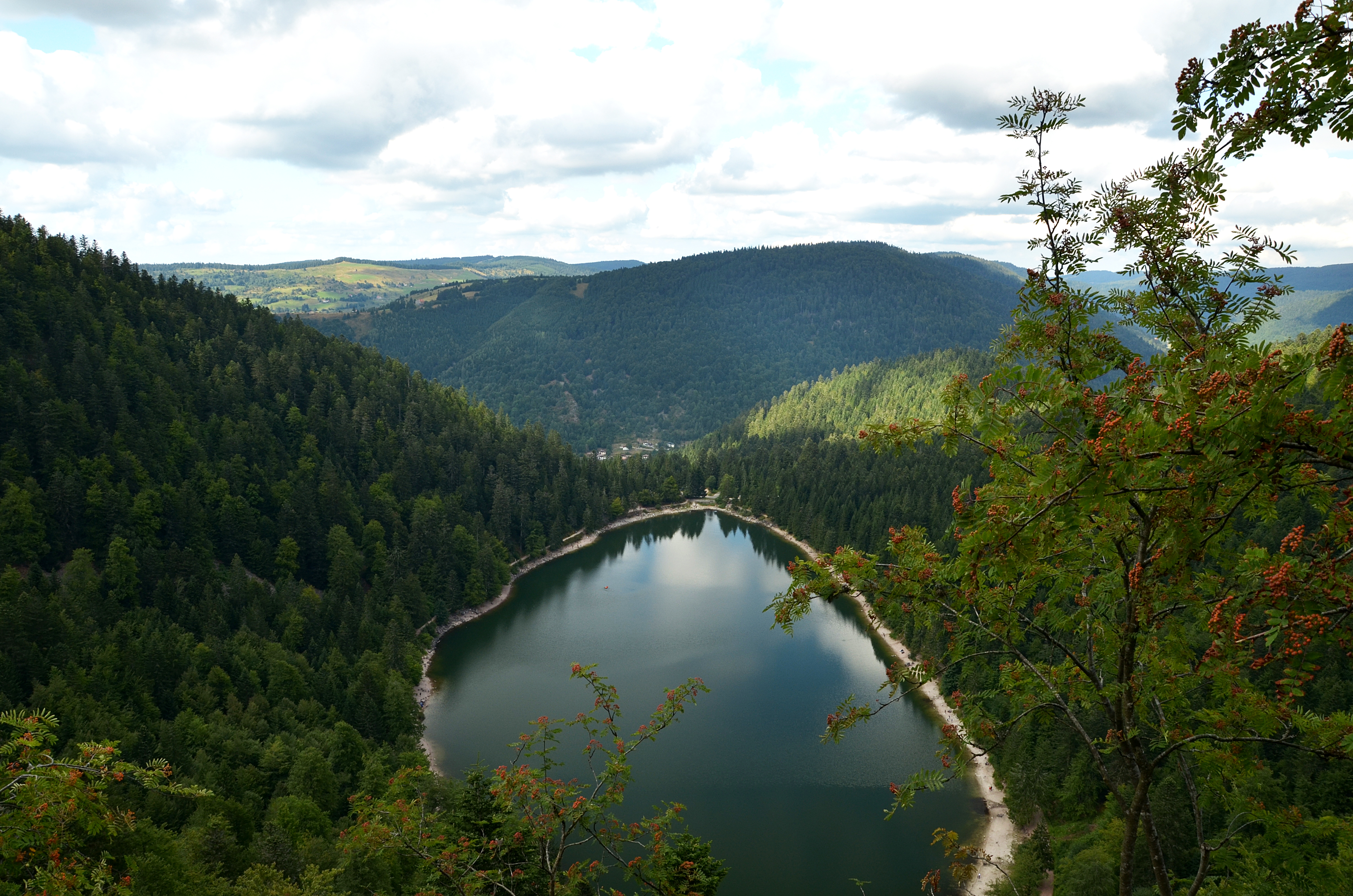
Lake Kruth-Wildenstein
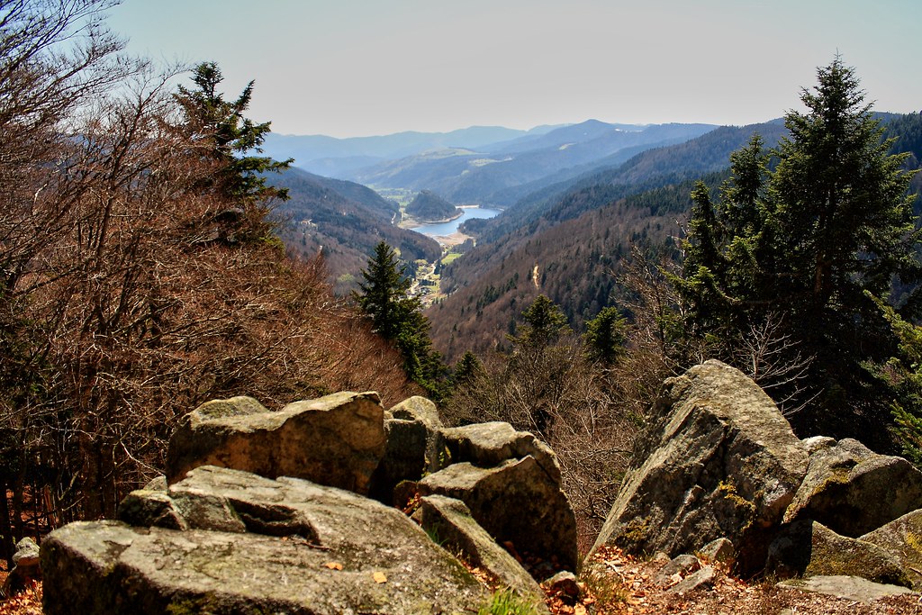
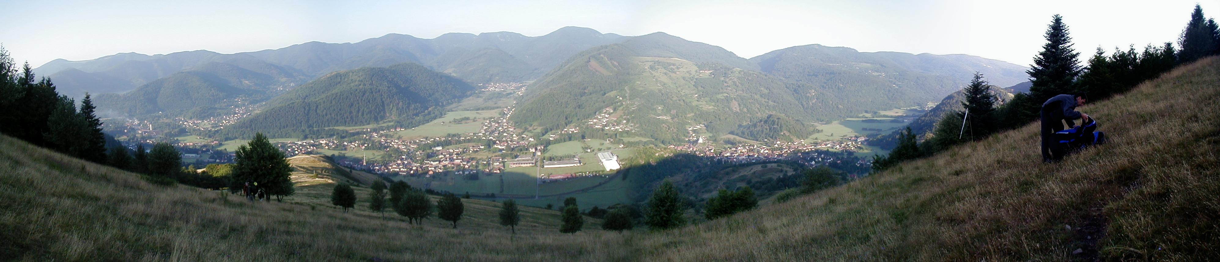
Aperçu des montagnes des Vosges depuis le ballon d'Alsace
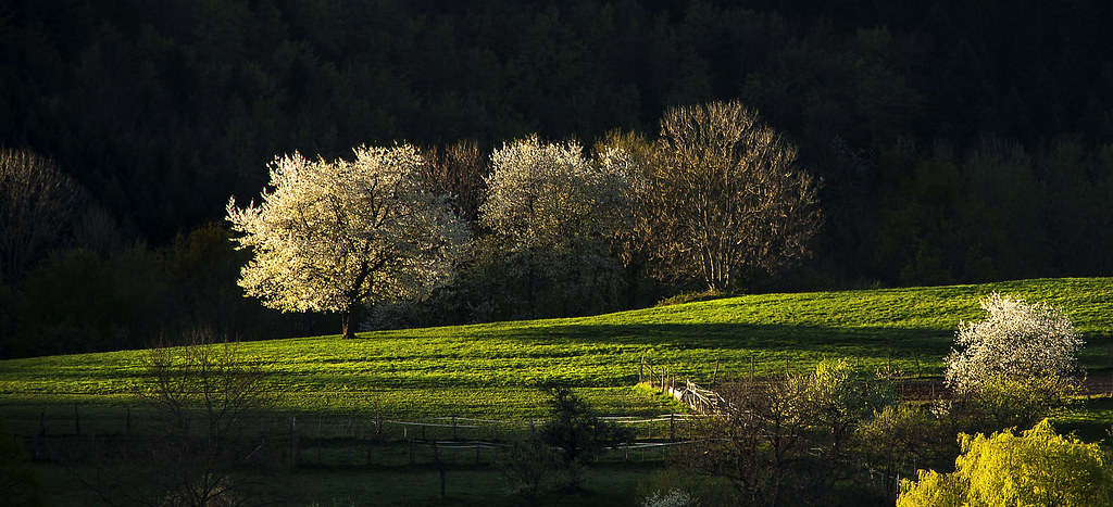
Au-dessus de la vallée

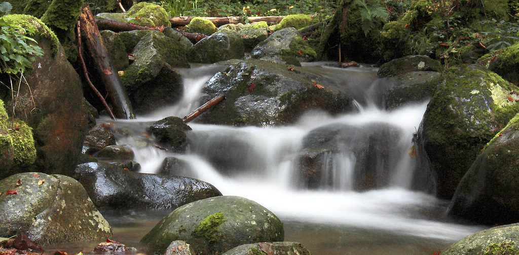
Un ruisseau près du saut du bouchot
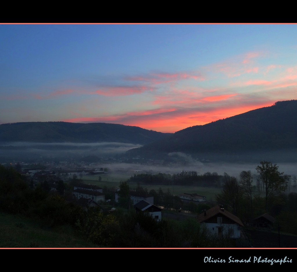
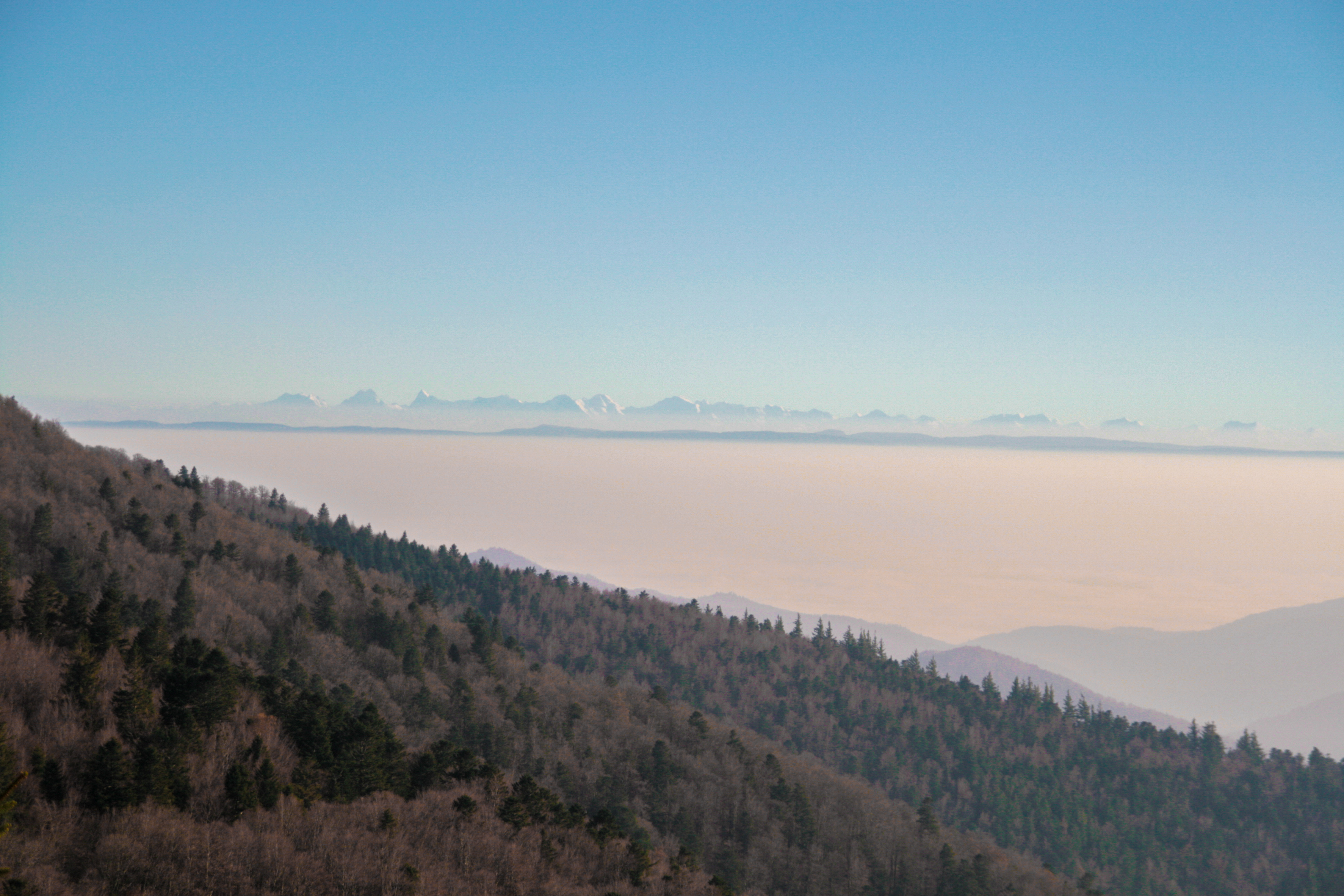
Brumes vosgiennes
Topographic Map of Bussang, France
Find elevation by address:

Places in Bussang, France:
Places near Bussang, France:
5424b
Ventron
4 Chemin du Rupt du Moulin, Ventron, France
Ballon D'alsace
Cornimont
8 Rue Jules Ferry, Le Thillot, France
Le Thillot
34 Route Forestière de Bockloch, Cornimont, France
6 Traverse du Daval, La Bresse, France
20 Chemin Départemental 34 de Presles, Basse-sur-le-Rupt, France
La Bresse
Oderen
11 Rue Durrenbach, Oderen, France
Basse-sur-le-rupt
Wildenstein
4 Rue Principale, Wildenstein, France
6 Rue René Leyval, Ferdrupt, France
Ferdrupt
Les Bas Rupts
Vagney
Recent Searches:
- Elevation of Corso Fratelli Cairoli, 35, Macerata MC, Italy
- Elevation of Tallevast Rd, Sarasota, FL, USA
- Elevation of 4th St E, Sonoma, CA, USA
- Elevation of Black Hollow Rd, Pennsdale, PA, USA
- Elevation of Oakland Ave, Williamsport, PA, USA
- Elevation of Pedrógão Grande, Portugal
- Elevation of Klee Dr, Martinsburg, WV, USA
- Elevation of Via Roma, Pieranica CR, Italy
- Elevation of Tavkvetili Mountain, Georgia
- Elevation of Hartfords Bluff Cir, Mt Pleasant, SC, USA