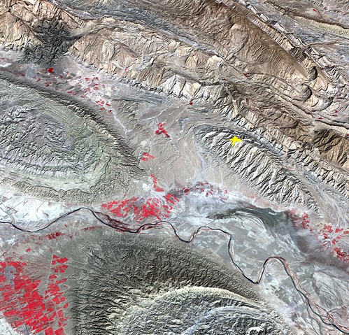
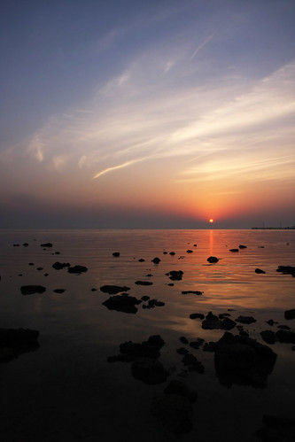
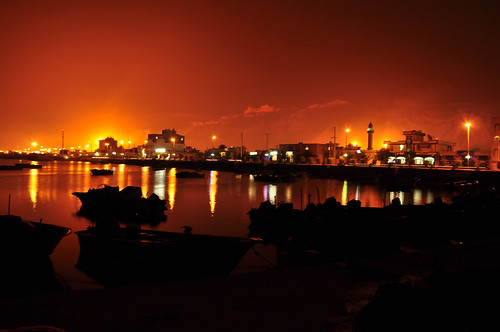
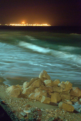
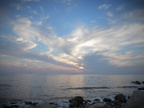
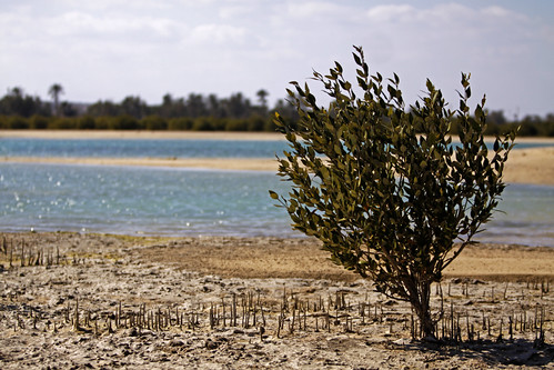
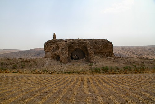
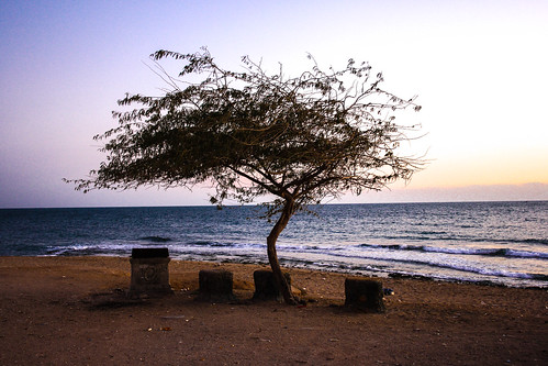
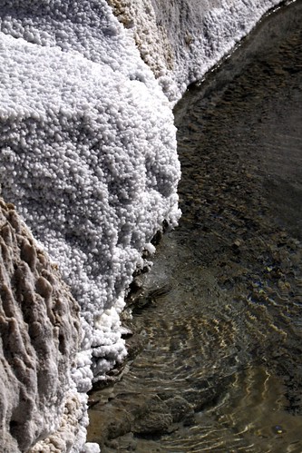
Elevation map of Bushehr Province, Iran
Location: Iran >
Longitude: 51.5150077
Latitude: 28.7620739
Elevation: 499m / 1637feet
Barometric Pressure: 95KPa
Related Photos:
Topographic Map of Bushehr Province, Iran
Find elevation by address:

Places in Bushehr Province, Iran:
Bandar-e Kangan
Dayyer
Khormoj
Ahram
Borazjan
Bandar Bushehr
Bandar Deylam
Bandar Ganaveh
Jam
Asaluyeh
Places near Bushehr Province, Iran:
Recent Searches:
- Elevation of Corso Fratelli Cairoli, 35, Macerata MC, Italy
- Elevation of Tallevast Rd, Sarasota, FL, USA
- Elevation of 4th St E, Sonoma, CA, USA
- Elevation of Black Hollow Rd, Pennsdale, PA, USA
- Elevation of Oakland Ave, Williamsport, PA, USA
- Elevation of Pedrógão Grande, Portugal
- Elevation of Klee Dr, Martinsburg, WV, USA
- Elevation of Via Roma, Pieranica CR, Italy
- Elevation of Tavkvetili Mountain, Georgia
- Elevation of Hartfords Bluff Cir, Mt Pleasant, SC, USA
