Elevation of Burnthill Rapids, Stanley, NB, Canada
Location: Canada > New Brunswick > York County > Stanley >
Longitude: -66.813445
Latitude: 46.5738946
Elevation: 173m / 568feet
Barometric Pressure: 99KPa
Elevation Map:
Satellite Map:
Related Photos:
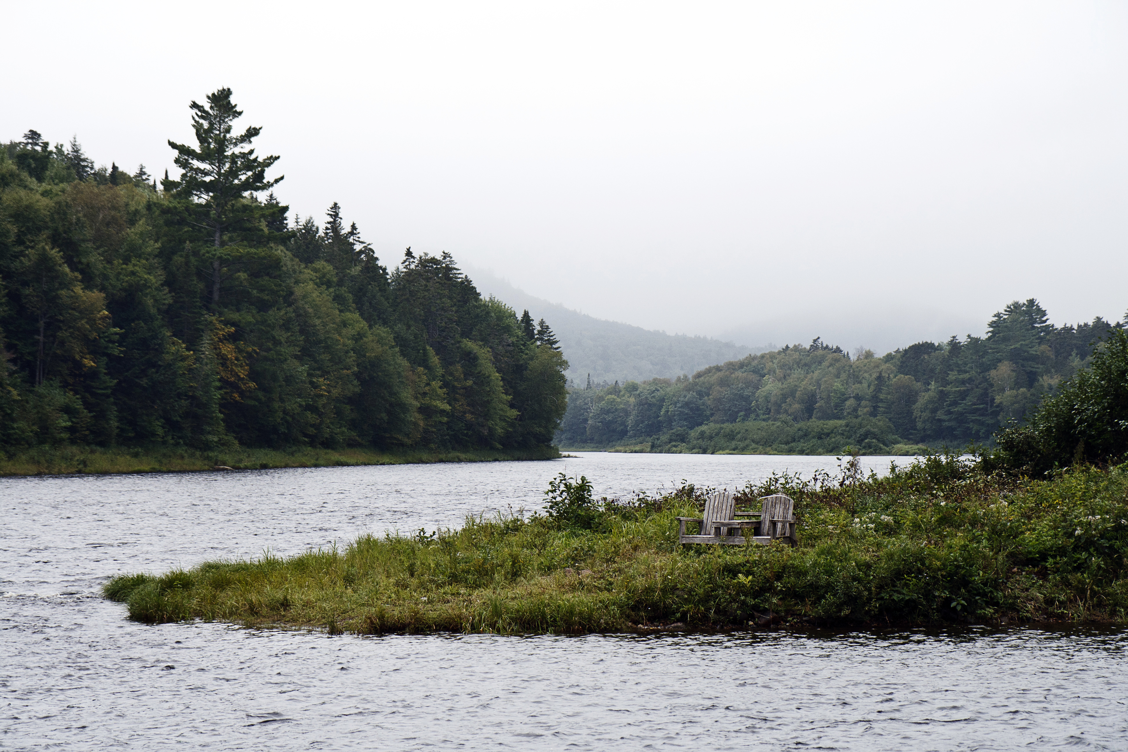
Front Row, Centre
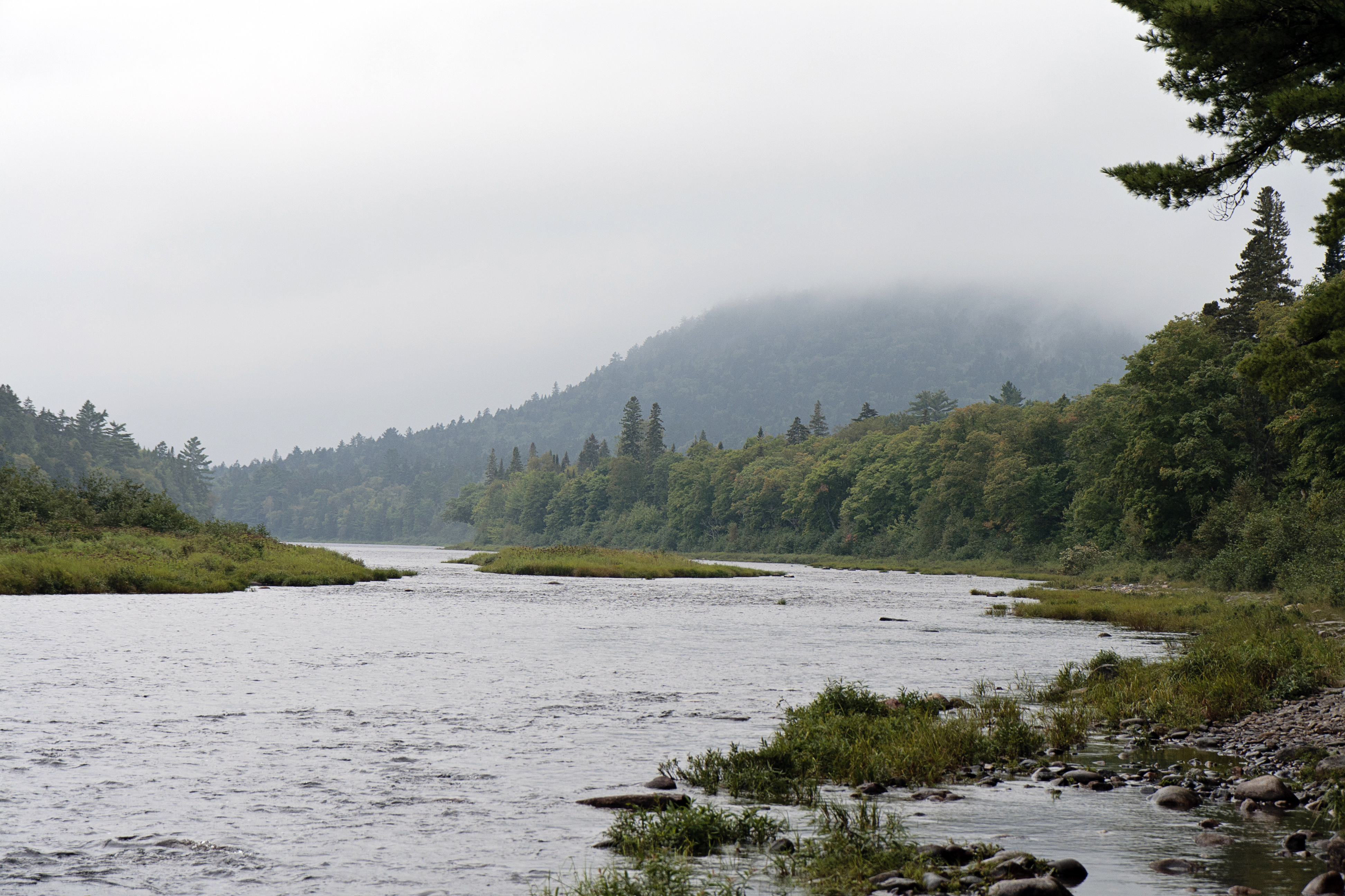
Southwest Miramichi River

Hygrocybe sp.
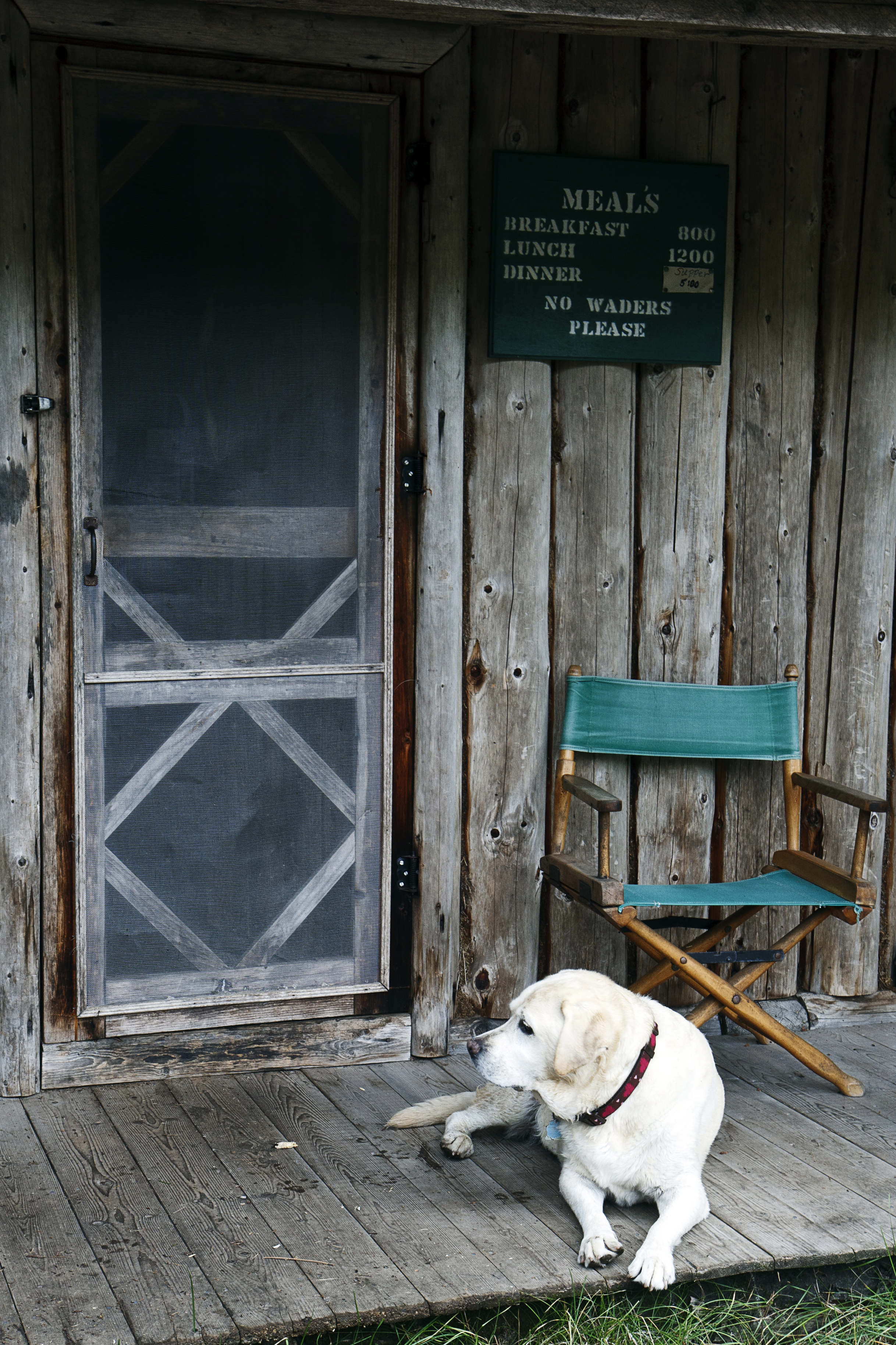
No Waders Please
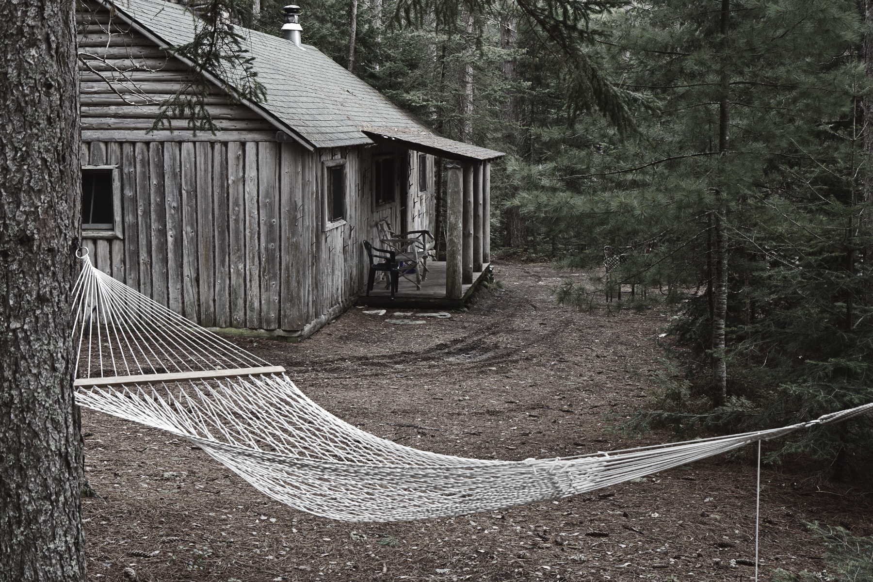
Clearwater Fishing Camp
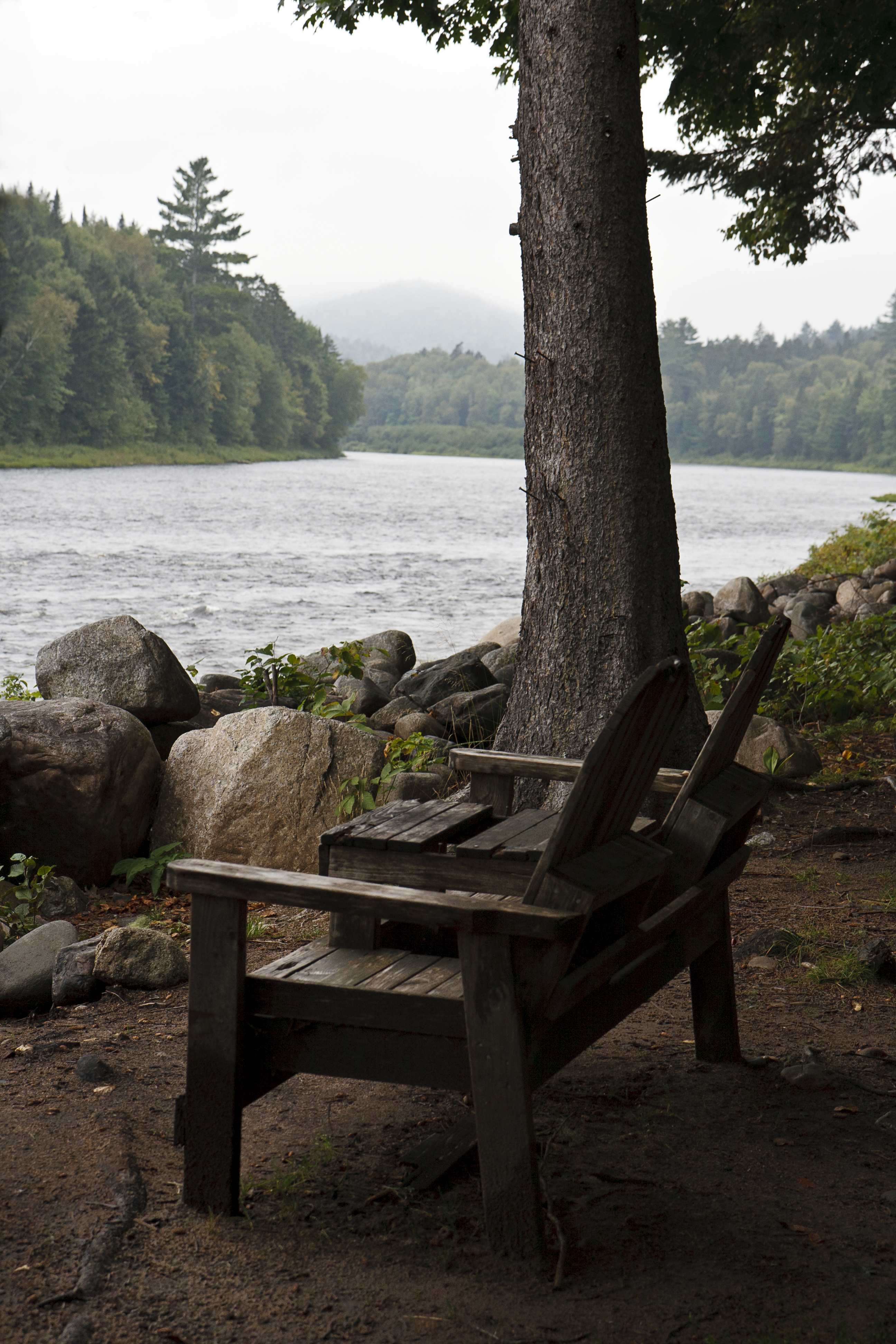
Clearwater Fishing Camp, Southwest Miramichi River
Topographic Map of Burnthill Rapids, Stanley, NB, Canada
Find elevation by address:

Places near Burnthill Rapids, Stanley, NB, Canada:
Stanley
Half Moon Pit
New Brunswick 625
Kent
Bloomfield Ridge Rd, Hayesville, NB E6A 1V2, Canada
Hayesville
Gordon Vale Rd, Parker Ridge, NB E6A 1B7, Canada
Parker Ridge
471 Bloomfield Ridge Rd
409 Bloomfield Ridge Rd
Bloomfield Ridge
New Brunswick
66 SW Rd, Juniper, NB E7L 1H6, Canada
54 Taxis River Rd, Taxis River, NB E6A 1A2, Canada
Taxis River
Aberdeen
Porter Cove Rd, Porter Cove, NB E9C 2M5, Canada
Juniper
Boiestown
10 Ross Ln, Boiestown, NB E6A 1K7, Canada
Recent Searches:
- Elevation of Corso Fratelli Cairoli, 35, Macerata MC, Italy
- Elevation of Tallevast Rd, Sarasota, FL, USA
- Elevation of 4th St E, Sonoma, CA, USA
- Elevation of Black Hollow Rd, Pennsdale, PA, USA
- Elevation of Oakland Ave, Williamsport, PA, USA
- Elevation of Pedrógão Grande, Portugal
- Elevation of Klee Dr, Martinsburg, WV, USA
- Elevation of Via Roma, Pieranica CR, Italy
- Elevation of Tavkvetili Mountain, Georgia
- Elevation of Hartfords Bluff Cir, Mt Pleasant, SC, USA