Elevation of Burkemont Rd, Morganton, NC, USA
Location: United States > North Carolina > Burke County > Morganton > Morganton >
Longitude: -81.708367
Latitude: 35.6507188
Elevation: 749m / 2457feet
Barometric Pressure: 93KPa
Elevation Map:
Satellite Map:
Related Photos:

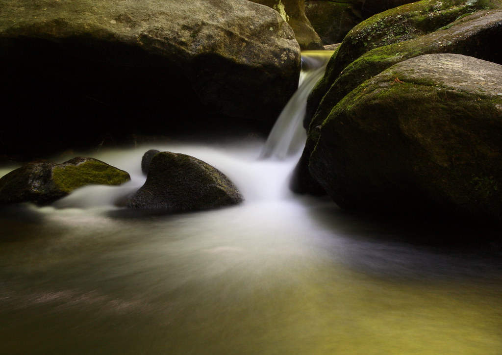
Go with the Flow

Party Lights

Jacob's Fork in the Fall

High Shoals Falls

Journey 313/365

Misty Base

South Mountain Trillium
Golden Cascade

Falling Water with Ice

Sliding Board?

Red Leaf

The Base
Falling Water

Countryside View

Jacob's Fork Cascade

Autumn Cascade

In over my Knees!

Quiet by the Creekside

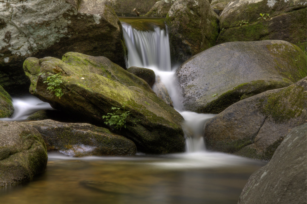
Jacob's Fork Cascades
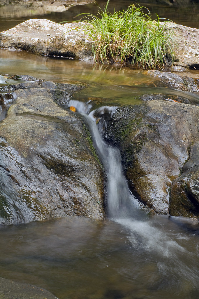
Jacob's Fork Trickle

Water, Rocks, and Rhodo

For Evelyn

The Edge

Sun on Lake James

Winter Water

South Mountains Cascade

Sweet Serenity

Mountain Trail

72 High Shoals Waterfall South Mountains SP 1547

Western NC

Freezing Falls
Topographic Map of Burkemont Rd, Morganton, NC, USA
Find elevation by address:

Places near Burkemont Rd, Morganton, NC, USA:
Burkemont Mountain
7626 Burkemont Road
4682 Western Ave
Burkemont Rd, Morganton, NC, USA
Buzzard Roost
Upper Fork
High Country Lane
6830 Silver Creek Ln
3507 Dogwood Ln
5126 Foreman St
3820 Wood Glen Dr
4051 Hugh Bennett Rd
3112 Old North Carolina 18
Silver Creek
3001 S Mountain Park
South Mountains State Park
Roper Hollow Rd, Morganton, NC, USA
Golden Valley
8585 Hackberry Rd
8411 Debbie Dr
Recent Searches:
- Elevation of Corso Fratelli Cairoli, 35, Macerata MC, Italy
- Elevation of Tallevast Rd, Sarasota, FL, USA
- Elevation of 4th St E, Sonoma, CA, USA
- Elevation of Black Hollow Rd, Pennsdale, PA, USA
- Elevation of Oakland Ave, Williamsport, PA, USA
- Elevation of Pedrógão Grande, Portugal
- Elevation of Klee Dr, Martinsburg, WV, USA
- Elevation of Via Roma, Pieranica CR, Italy
- Elevation of Tavkvetili Mountain, Georgia
- Elevation of Hartfords Bluff Cir, Mt Pleasant, SC, USA