Elevation of Burg Altpernstein, Altpernstein 1, Micheldorf in Oberösterreich, Austria
Location: Austria > Upper Austria > Kirchdorf An Der Krems District > Gemeinde Micheldorf In Oberösterreich > Altpernstein >
Longitude: 14.1570284
Latitude: 47.8851828
Elevation: 803m / 2635feet
Barometric Pressure: 92KPa
Elevation Map:
Satellite Map:
Related Photos:

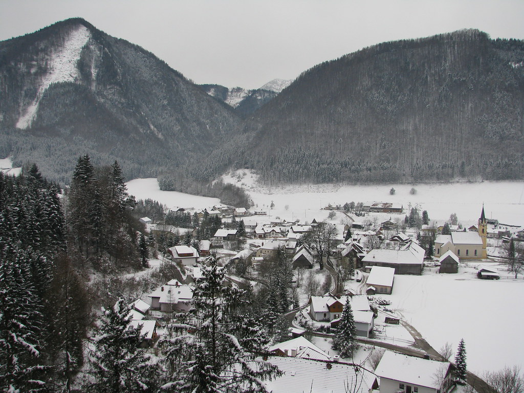
Steyrtal - Upper Austria
Steyrling - Upper Austria

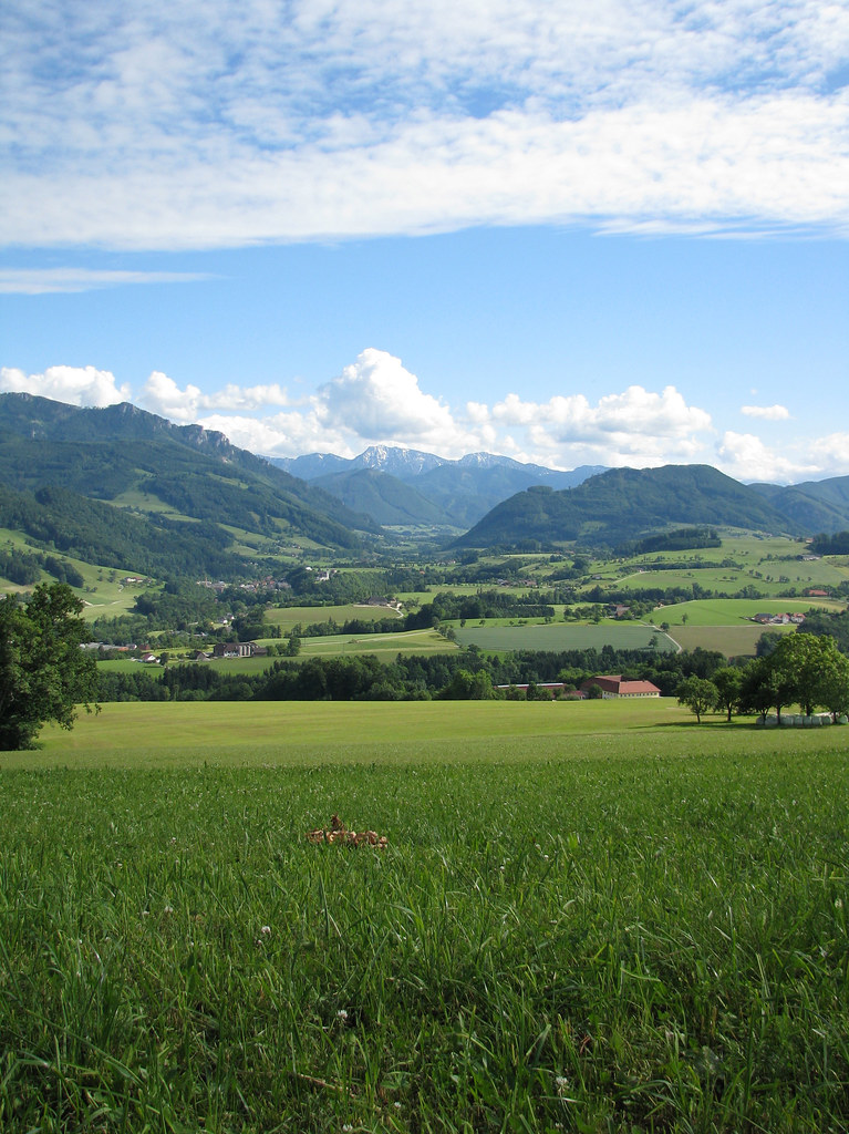
Summer Meadow HDR

Steyrtal - Upper Austria
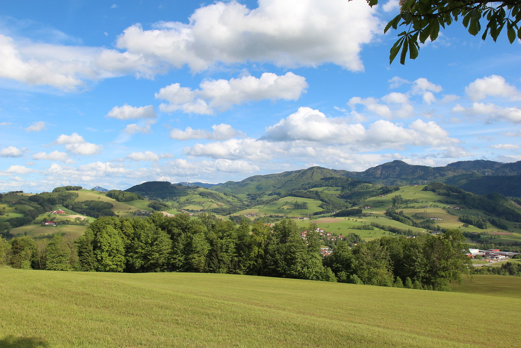
Alpenvorland - Oberösterreich - Austria

Traunstein/Austria
Steyrtal - Upper Austria

Lone Tree
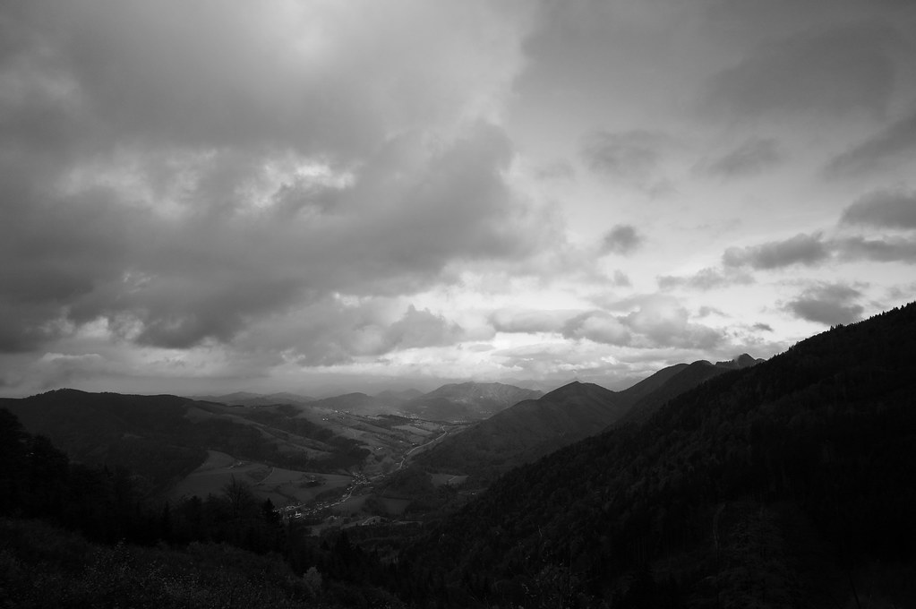
view towards Kremstal
Topographic Map of Burg Altpernstein, Altpernstein 1, Micheldorf in Oberösterreich, Austria
Find elevation by address:

Places near Burg Altpernstein, Altpernstein 1, Micheldorf in Oberösterreich, Austria:
Altpernstein
Gemeinde Micheldorf In Oberösterreich
Seebach 44, Seebach, Austria
Thurnham
Thurnham 27, Thurnham, Austria
Kirchdorf An Der Krems District
Lauterbachstraße 3, Inzersdorf im Kremstal, Austria
Gemeinde Molln
Molln
Im Gstadt 1
Wartberg An Der Krems
Penzendorf 71, Penzendorf, Austria
Zehetner
Zehetner 25, Zehetner, Austria
Hauptpl. 13, Bad Hall, Austria
Bad Hall
Gemeinde Bad Hall
Krems
Upper Austrian Prealps
Gemeinde Schiedlberg
Recent Searches:
- Elevation of Corso Fratelli Cairoli, 35, Macerata MC, Italy
- Elevation of Tallevast Rd, Sarasota, FL, USA
- Elevation of 4th St E, Sonoma, CA, USA
- Elevation of Black Hollow Rd, Pennsdale, PA, USA
- Elevation of Oakland Ave, Williamsport, PA, USA
- Elevation of Pedrógão Grande, Portugal
- Elevation of Klee Dr, Martinsburg, WV, USA
- Elevation of Via Roma, Pieranica CR, Italy
- Elevation of Tavkvetili Mountain, Georgia
- Elevation of Hartfords Bluff Cir, Mt Pleasant, SC, USA