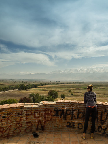
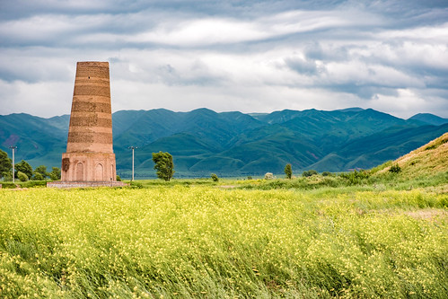
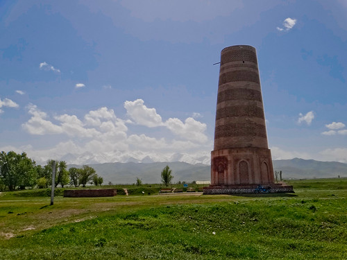
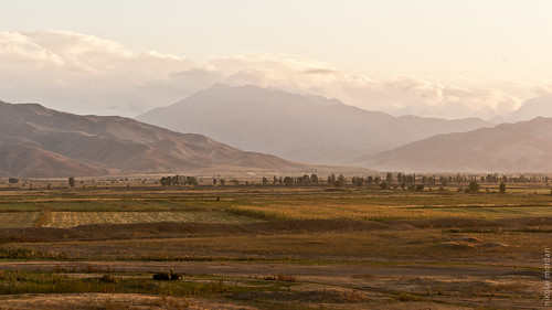
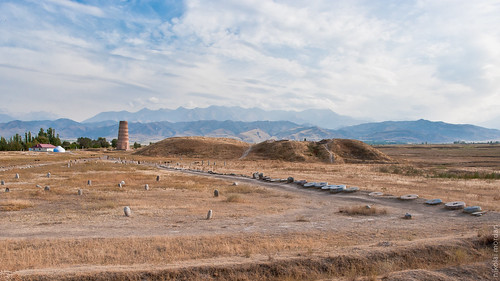
Elevation of Burana Tower, Chui, Kyrgyzstan
Location: Kyrgyzstan > Chuy Province >
Longitude: 75.2504298
Latitude: 42.7463898
Elevation: 939m / 3081feet
Barometric Pressure: 91KPa
Related Photos:
Topographic Map of Burana Tower, Chui, Kyrgyzstan
Find elevation by address:

Places near Burana Tower, Chui, Kyrgyzstan:
Don-aryk
Tokmok
Yurevka
Pereval Kokmoynok
Ysyk-ata
Alamedin River
Chunkurchak
Kyrgyz Express Post, Office No. 2
Ala-too Square
Kyrgyz Post
Бишкек Парк (bishkek Park)
Embassy Of The United States
Birinchi May District
Bishkek
Lenin District
Alamudun
Kochkor
Kopa
Recent Searches:
- Elevation of Corso Fratelli Cairoli, 35, Macerata MC, Italy
- Elevation of Tallevast Rd, Sarasota, FL, USA
- Elevation of 4th St E, Sonoma, CA, USA
- Elevation of Black Hollow Rd, Pennsdale, PA, USA
- Elevation of Oakland Ave, Williamsport, PA, USA
- Elevation of Pedrógão Grande, Portugal
- Elevation of Klee Dr, Martinsburg, WV, USA
- Elevation of Via Roma, Pieranica CR, Italy
- Elevation of Tavkvetili Mountain, Georgia
- Elevation of Hartfords Bluff Cir, Mt Pleasant, SC, USA


