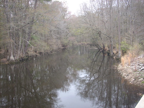
Elevation of Bundy St, Wagram, NC, USA
Location: United States > North Carolina > Scotland County > Spring Hill > Wagram >
Longitude: -79.356277
Latitude: 34.8869521
Elevation: 69m / 226feet
Barometric Pressure: 100KPa
Related Photos:
Topographic Map of Bundy St, Wagram, NC, USA
Find elevation by address:

Places near Bundy St, Wagram, NC, USA:
Wagram
Woodberry Dr, Raeford, NC, USA
Spring Hill
Batman Wildlife & Chimney Swp
22601 Aberdeen Rd
15340 Palmer Rd
Raeford Road
Pendergrass Road
Scotland County
Laurel Hill Township
301 Mccain St
North Rocky Ford Road
47 5th St, Laurinburg, NC, USA
321 N Gill St
185 Corda Pl
Maxton
Smiths
E Church St, Laurinburg, NC, USA
Laurinburg
Quewhiffle
Recent Searches:
- Elevation of Corso Fratelli Cairoli, 35, Macerata MC, Italy
- Elevation of Tallevast Rd, Sarasota, FL, USA
- Elevation of 4th St E, Sonoma, CA, USA
- Elevation of Black Hollow Rd, Pennsdale, PA, USA
- Elevation of Oakland Ave, Williamsport, PA, USA
- Elevation of Pedrógão Grande, Portugal
- Elevation of Klee Dr, Martinsburg, WV, USA
- Elevation of Via Roma, Pieranica CR, Italy
- Elevation of Tavkvetili Mountain, Georgia
- Elevation of Hartfords Bluff Cir, Mt Pleasant, SC, USA


