Elevation map of Bulkley-Nechako G, BC, Canada
Location: Canada > British Columbia > Bulkley-nechako >
Longitude: -126.48610
Latitude: 54.8542551
Elevation: 778m / 2552feet
Barometric Pressure: 92KPa
Elevation Map:
Satellite Map:
Related Photos:
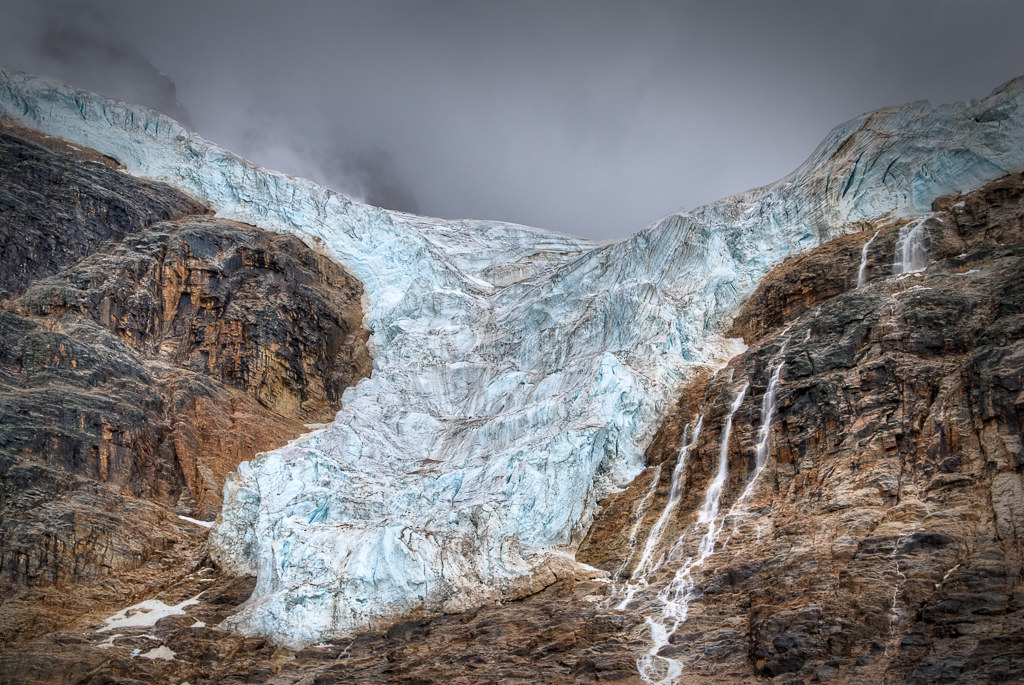
Glacier Angel, British Columbia
Topographic Map of Bulkley-Nechako G, BC, Canada
Find elevation by address:

Places in Bulkley-Nechako G, BC, Canada:
Places near Bulkley-Nechako G, BC, Canada:
Recent Searches:
- Elevation of Corso Fratelli Cairoli, 35, Macerata MC, Italy
- Elevation of Tallevast Rd, Sarasota, FL, USA
- Elevation of 4th St E, Sonoma, CA, USA
- Elevation of Black Hollow Rd, Pennsdale, PA, USA
- Elevation of Oakland Ave, Williamsport, PA, USA
- Elevation of Pedrógão Grande, Portugal
- Elevation of Klee Dr, Martinsburg, WV, USA
- Elevation of Via Roma, Pieranica CR, Italy
- Elevation of Tavkvetili Mountain, Georgia
- Elevation of Hartfords Bluff Cir, Mt Pleasant, SC, USA