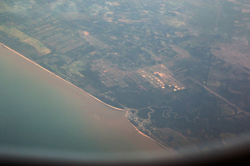
Elevation of Bukit Lebak Naga, Kandangan Lama, Batakan, Panyipatan, Kabupaten Tanah Laut, Kalimantan Selatan, Indonesia
Location: Indonesia > South Kalimantan > Tanah Laut Regency >
Longitude: 114.668790
Latitude: -4.0474511
Elevation: -10000m / -32808feet
Barometric Pressure: 295KPa
Related Photos:
Topographic Map of Bukit Lebak Naga, Kandangan Lama, Batakan, Panyipatan, Kabupaten Tanah Laut, Kalimantan Selatan, Indonesia
Find elevation by address:

Places near Bukit Lebak Naga, Kandangan Lama, Batakan, Panyipatan, Kabupaten Tanah Laut, Kalimantan Selatan, Indonesia:
Pelaihari
Pelaihari
Pelaihari
Tanah Laut Regency
Bati - Bati
Banjarbaru
Banjarmasin
Banjarmasin City
Barito Kuala Regency
South Tapin
South Kalimantan
Tapin Regency
Kupang
Rantau
North Tapin
Recent Searches:
- Elevation of Corso Fratelli Cairoli, 35, Macerata MC, Italy
- Elevation of Tallevast Rd, Sarasota, FL, USA
- Elevation of 4th St E, Sonoma, CA, USA
- Elevation of Black Hollow Rd, Pennsdale, PA, USA
- Elevation of Oakland Ave, Williamsport, PA, USA
- Elevation of Pedrógão Grande, Portugal
- Elevation of Klee Dr, Martinsburg, WV, USA
- Elevation of Via Roma, Pieranica CR, Italy
- Elevation of Tavkvetili Mountain, Georgia
- Elevation of Hartfords Bluff Cir, Mt Pleasant, SC, USA


