Elevation of Bueng Na Rang District, Phichit, Thailand
Location: Thailand > Phichit >
Longitude: 100.147918
Latitude: 16.1737312
Elevation: 38m / 125feet
Barometric Pressure: 101KPa
Elevation Map:
Satellite Map:
Related Photos:

Watbanbanglainua school

ทางมันโล่ง #หกล้อบินได้
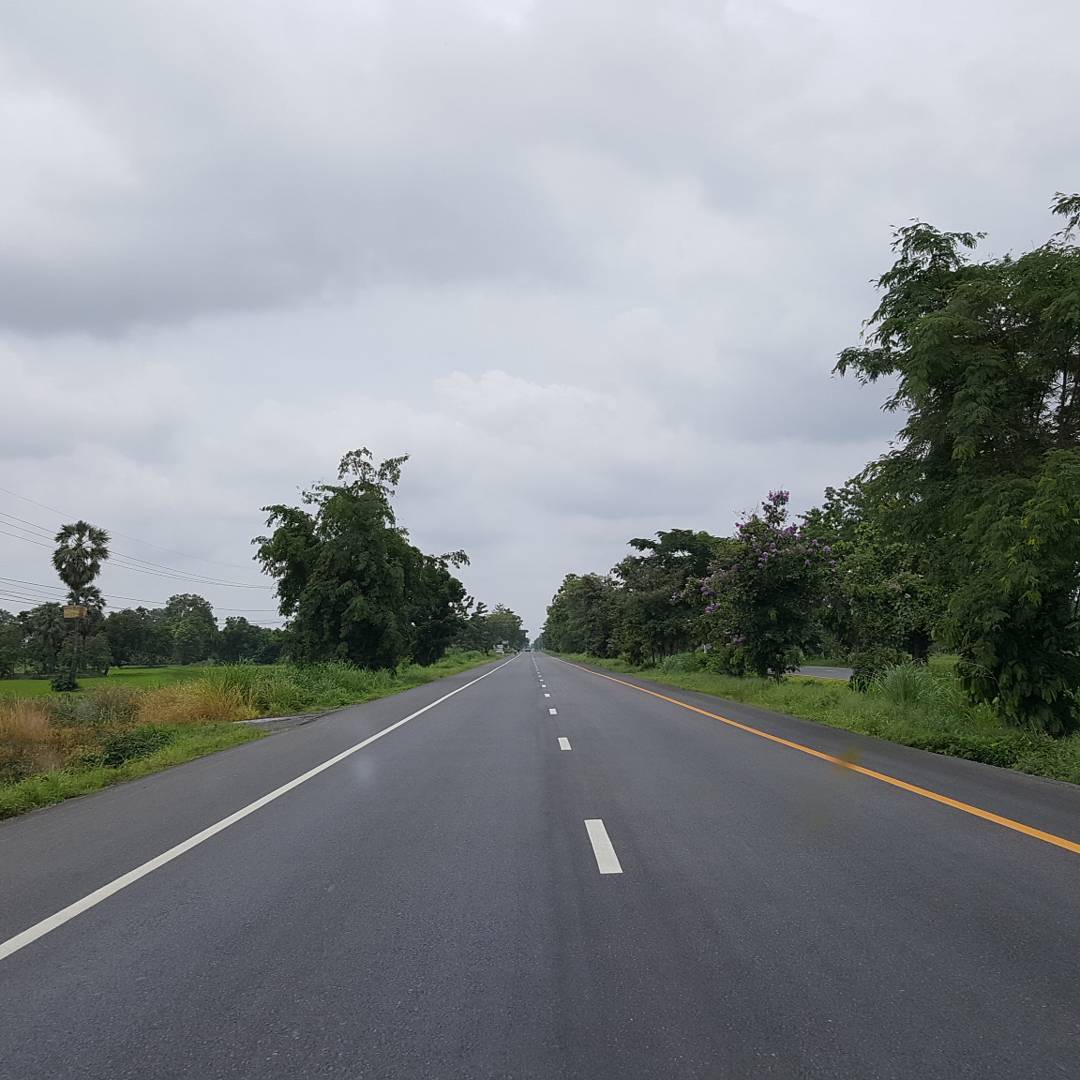
บนถนนหนทางซุปเปอร์ไฮเวย์ ????????????????????

ความสงบที่รวดเร็ว

#Sunrise ...... good night....

Take a rest. แพ้กรุงเทพฯ ระหว่างทางไปเชียงราย หนีความวุ่ยวานในกรุงเทพฯ ☁️ #Rest #Travel

อนาคต

เกี้ยวปูหมูแดงๆู

แวะพักก่อน

ต้องแบบนี้สิ ต้มยำปลาคัง

อบากกอนปลาคังลวกจิ้ม แต่ได้ปลากรายมาแทน คนละอารมณ์เลย แต่อร่อยกินแทนได้

แมว

แมว
Topographic Map of Bueng Na Rang District, Phichit, Thailand
Find elevation by address:

Places in Bueng Na Rang District, Phichit, Thailand:
Places near Bueng Na Rang District, Phichit, Thailand:
Bueng Na Rang District Office
Huai Kaeo
Pho Thale District
Pho Prathap Chang District
ที่ว่าการอำเภอโพทะเล
ที่ว่าการอำเภอโพธิ์ประทับช้าง
Pho Prathap Chang
Tha Bua
Phichit
Sam Ngam District
Taphan Hin District
Bang Mun Nak District Office
ที่ทำการอำเภอตะพานหิน
Taphan Hin
Noen Makok
Bang Mun Nak District
Sam Ngam
Phichit City Hall
Wachirabarami District
Nai Mueang
Recent Searches:
- Elevation of Corso Fratelli Cairoli, 35, Macerata MC, Italy
- Elevation of Tallevast Rd, Sarasota, FL, USA
- Elevation of 4th St E, Sonoma, CA, USA
- Elevation of Black Hollow Rd, Pennsdale, PA, USA
- Elevation of Oakland Ave, Williamsport, PA, USA
- Elevation of Pedrógão Grande, Portugal
- Elevation of Klee Dr, Martinsburg, WV, USA
- Elevation of Via Roma, Pieranica CR, Italy
- Elevation of Tavkvetili Mountain, Georgia
- Elevation of Hartfords Bluff Cir, Mt Pleasant, SC, USA