Elevation of Buddy Kirk Dr, Crystal Beach, TX, USA

Location: United States > Texas > Galveston County > Bolivar Peninsula > Crystal Beach >

Longitude: -94.668828

Latitude: 29.4486402

Elevation: 1m / 3feet

Barometric Pressure: 101KPa

Elevation Map:

elevation map of Buddy Kirk Dr, Crystal Beach, TX, USA

Satellite Map:

Satellite map of Buddy Kirk Dr, Crystal Beach, TX, USA
Related Photos:

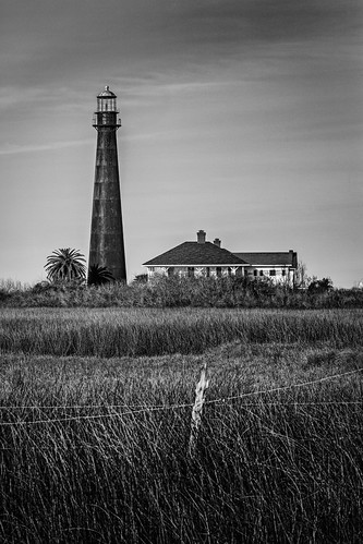
bw barbedwire blackwhite blackandwhite boivarpoint fence grass house houses light lighthouse monochrome pointbolivarlight pointbolivarlighthouse bolivarpeninsula texas unitedstates us
Point Bolivar Light (1872)
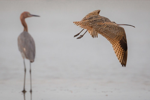
longbilledcurlew reddishegret bird flight bif surf bolivarflatsshorebirdsanctuary houstonaudubonsociety galvestoncounty texas gseloff
What's Up
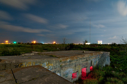
galveston abandoned night army island ruins fort battery croghan
Dead Battery
wild bw galveston bird feet animal closeup triangles texas tx wildlife seagull gull angles explore webbed
Gull feet {Explore}
odc seenintheclouds
Angels Watching Over You
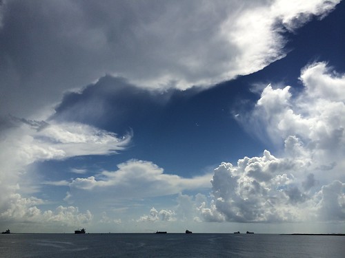
sky galveston clouds sunny fortsanjacinto
Incredible Clouds!!
galveston abandoned night san texas fort military battery jacinto croghan
T.H.E.M.
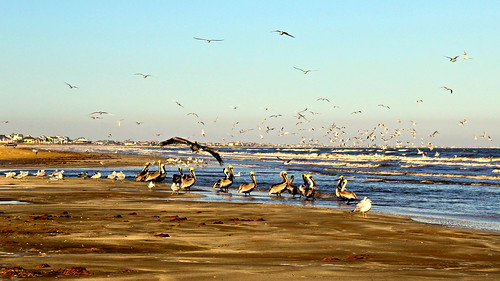
winter seagulls seascape seaweed beach gulfofmexico nature water birds seashells canon seaside wings sand texas wildlife tide shoreline watersedge waterfowl waterscape shorebirds bolivarpeninsula seawater texasgulfcoast beachlovers wadingbirds birdphotography portbolivar galvestoncounty seasideview texasbeaches coastalbirding longleggedbirds coastalphotos eos60d lv018
Beach Lovers
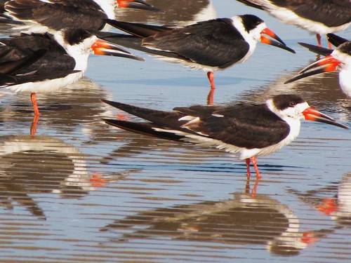
park travel blue usa reflection bird beach nature water canon daylight sand texas view state wildlife south peaceful powershot daytime tranquil blackskimmer flickraward sx10is waltphotos mygearandme artistoftheyearlevel3 artistoftheyearlevel4
IMG_6867 (2)
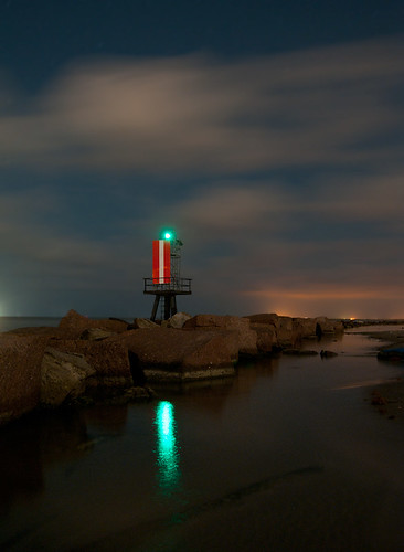
galveston night bay texas moonlight channel
Channel Marker
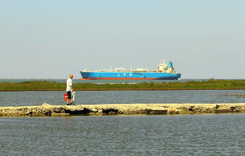
blue usa galveston water canon walking outdoors island eos bay boat fisherman ship texas tide shoreline vessel cargo transportation april galvestonisland navigation saltwater sunnyday eastbeach anchored moored galvestonbay shipchannel texasgulfcoast scenicview cr2 castnet galvestoncounty coastalphotos eos60d galvestonseastend
Anchored in Galveston Bay
love romance houstonshipchannel
Look Up
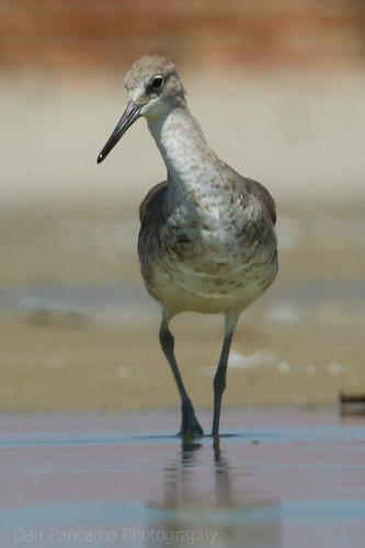
galveston bird birds august 2010 willet canon100mmf28 slbwading canon300mmf28isusm
Galveston Sights
morning sky sun galveston beach port sunrise mexico bay coast texas gulf bolivar peninsula
Morning viewing party
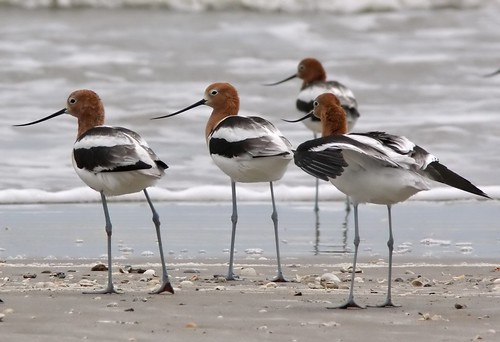
bird birds texas americana americanavocet avocet fåglar recurvirostraamericana recurvirostra bolivarflats
American Avocet (Recurvirostra americana)
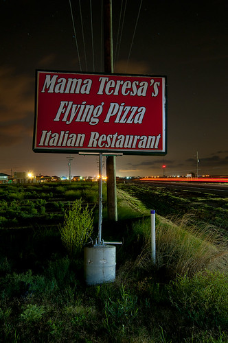
night texas bolivar mama peninsula teresas
Mama Teresa's
morning sky sun galveston beach port sunrise mexico bay coast texas gulf bolivar peninsula
Viewing the sunrise
View from Stingaree
ships sunrise dawn surf bolivarflats galvestoncounty texas seascape clouds gseloff
Sailor Take Warning
ocean galveston beach rock port 35mm canon lens mexico eos pier texas gulf f14 bolivar 7d l ef
[15/35] Ocean view
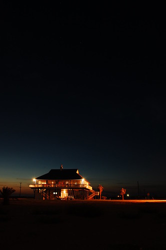
Beach House Twilight
On the beach
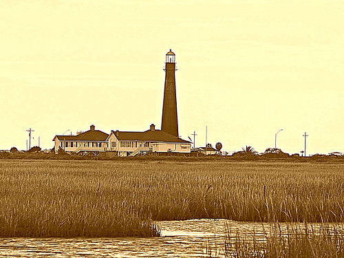
usa lighthouse history gulfofmexico sepia canon eos texas marsh galvestonbay texasgulfcoast portbolivar galvestoncounty digitalphotoprofessional coastalphotos eos60d ipiccy
Port Bolivar Lighthouse
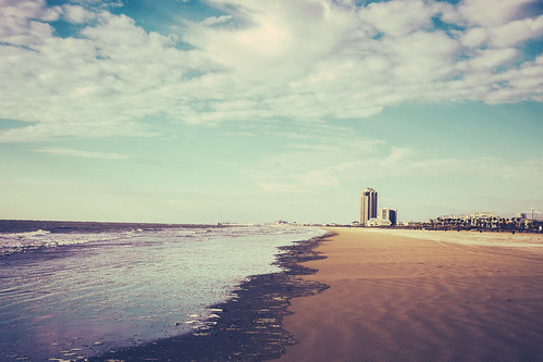
Winter Sunset on East Beach
ocean galveston beach bolivar wildflowers
Bolivar Peninsula
usa fall beach gulfofmexico nature water rain weather clouds canon skyscape eos sand october surf texas artistic wind tide digitalart shoreline clean hdr darkclouds thunderclouds badweather stormclouds thunderstorms bolivarpeninsula texasgulfcoast portbolivar galvestoncounty texasbeaches portbolivarbeach eos60d ipiccy
"Beach Clouds"
ocean sea usa mist galveston sports nature water ecology weather fog scenery day tx kitesurfing environment environmentalism ecosystem
Kite surfing in Galveston Beach
gulfofmexico galvestonisland eastbeach texasgulfcoast galvestontx january2014
Galveston Island, No. 20
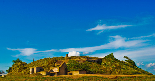
park history texas republic fort travis independence seashore built 1836
Fort Travis Bunker
morning sky sun galveston beach port sunrise mexico bay coast texas gulf bolivar peninsula
Another hot day
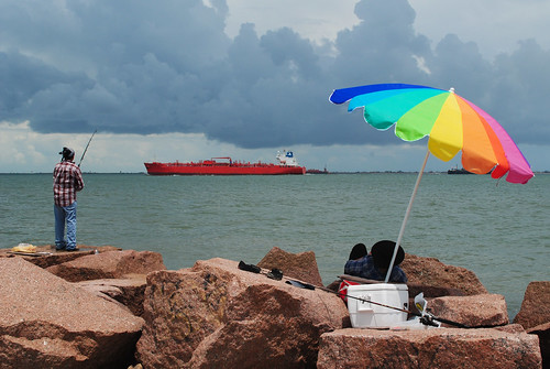
shipping ship umbrella fishing galveston island county texas gulfofmexico gulf united states north america
Fishing, Bolivar Roads, Galveston, Texas 1308111302
Small stream outlet near East Beach
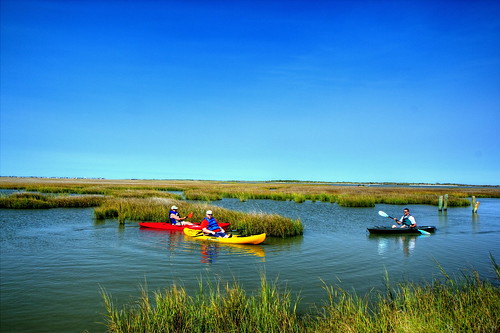
canon texas tamron bolivarpeninsula crystalbeach 18270 t2i pzd gulfsurfkayak
David, Brian, Franny kayaking in East Bay, Bolivar Peninsula, Texas
usa galveston photography coast us photo texas unitedstates unitedstatesofamerica august noflash coastal photograph squarecrop 2012 iphone galvestoncounty iphoneography hipstamatic lucasab2lens mabrycampbell inas1982film
High Grass
man galveston birds sad tx flockofbirds galvestonbeach
Flying low...
usa galveston photography coast us photo texas unitedstates unitedstatesofamerica august noflash coastal photograph squarecrop 2012 iphone galvestoncounty iphoneography hipstamatic lucasab2lens mabrycampbell inas1982film
Low Grass
People in the water
usa galveston photography coast us photo texas unitedstates unitedstatesofamerica august noflash coastal photograph squarecrop 2012 iphone galvestoncounty iphoneography hipstamatic lucasab2lens mabrycampbell inas1982film
Mid Grass
park history texas republic fort travis independence seashore built 1836
Looking out
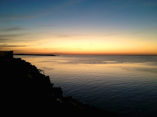
square squareformat mayfair iphoneography instagramapp uploaded:by=instagram foursquare:venue=4bf5de27004ed13a9f8f41a0
#Galveston #Sunset #July #2013 #skyporn