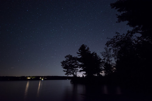
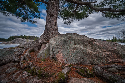
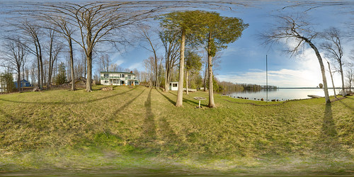
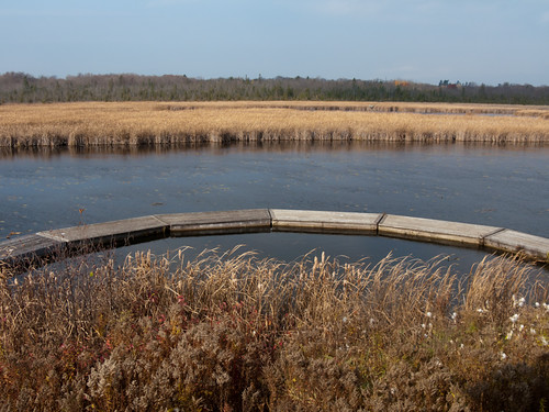
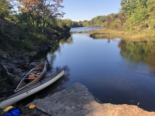
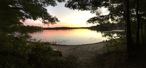
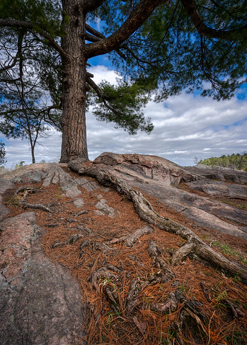
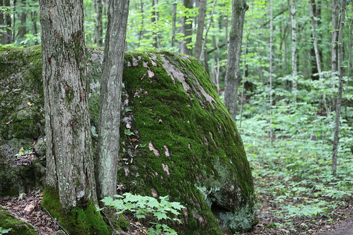
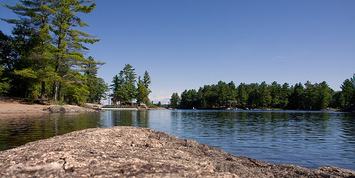
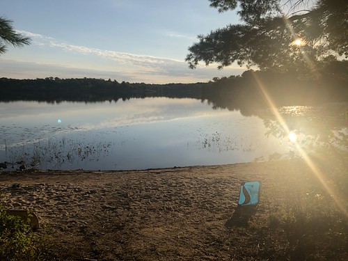
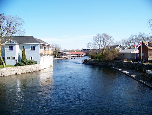
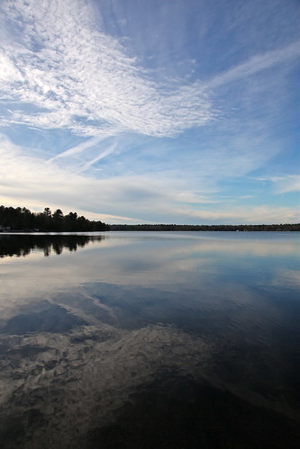
Elevation of Buckhorn, ON K0L, Canada
Location: Canada > Ontario > Peterborough County > Selwyn >
Longitude: -78.350066
Latitude: 44.5567024
Elevation: 243m / 797feet
Barometric Pressure: 98KPa
Related Photos:
Topographic Map of Buckhorn, ON K0L, Canada
Find elevation by address:

Places near Buckhorn, ON K0L, Canada:
Three Castles
Buckhorn Lake
342 Kawartha Hideaway Rd
1883 Pinehurst Ave
Selwyn
Trent Lakes
Ontario 28
Chemong Lake
Burleigh Falls
Lakefield
Ennismore
Bridgenorth
Catchacoma
5820 On-28
5820 On-28
Country Club Cir, Bobcaygeon, ON K0M 1A0, Canada
Lonesome Pine | A Parkbridge Cottage & Rv Resort
620 Steinkrauss Dr
620 Steinkrauss Dr
Bobcaygeon
Recent Searches:
- Elevation of Corso Fratelli Cairoli, 35, Macerata MC, Italy
- Elevation of Tallevast Rd, Sarasota, FL, USA
- Elevation of 4th St E, Sonoma, CA, USA
- Elevation of Black Hollow Rd, Pennsdale, PA, USA
- Elevation of Oakland Ave, Williamsport, PA, USA
- Elevation of Pedrógão Grande, Portugal
- Elevation of Klee Dr, Martinsburg, WV, USA
- Elevation of Via Roma, Pieranica CR, Italy
- Elevation of Tavkvetili Mountain, Georgia
- Elevation of Hartfords Bluff Cir, Mt Pleasant, SC, USA

