Elevation of Buck Pond Road, Buck Pond Rd, Westfield, MA, USA
Location: United States > Massachusetts > Hampden County > Westfield >
Longitude: -72.699028
Latitude: 42.172901
Elevation: 79m / 259feet
Barometric Pressure: 100KPa
Elevation Map:
Satellite Map:
Related Photos:

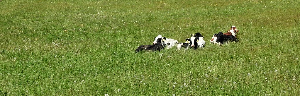
Hadley Falls Canal Park

S. Hadley Falls Canal Park
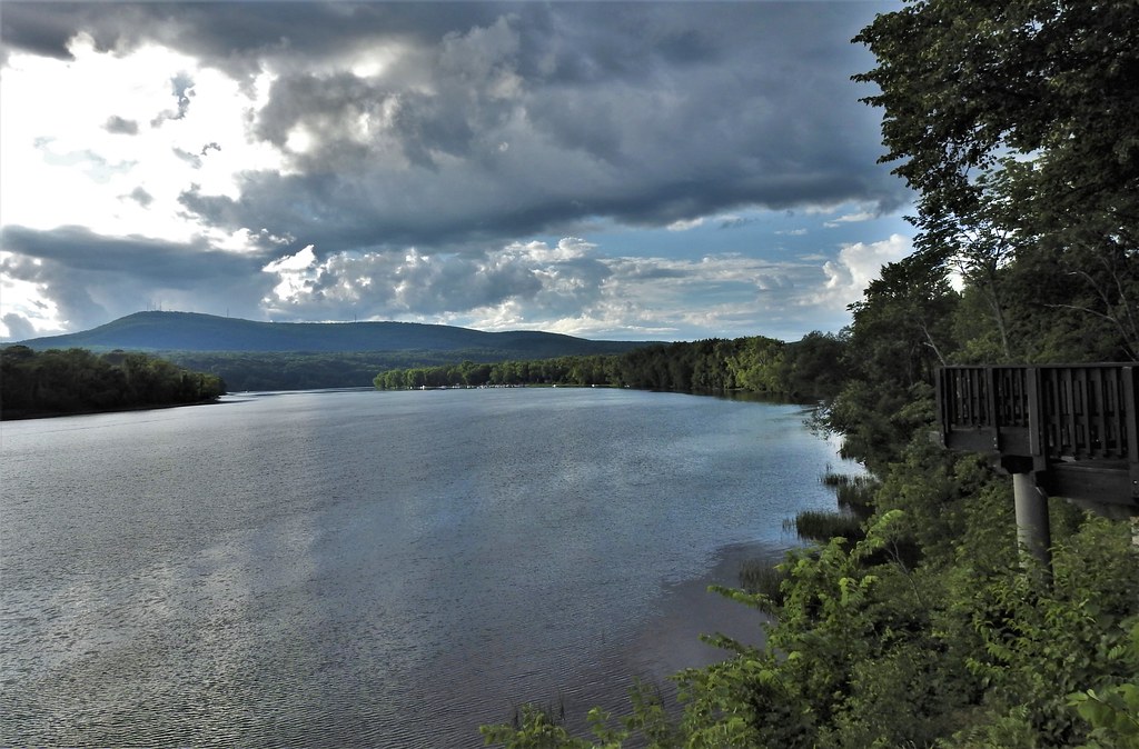
Connecticut River ~ Explored

Lily Pond ~ Forest Park

Lily Pond ~ Forest Park

The Golden Hour

Last lilies of the season...

House w a great view...

Pitcher Rd ~ Montgomery MA

Downstream...

Walk to the river...

Pioneer Valley Street Running

Mailbox with a view ~ Explored

Focused view of Mount Tom

A view from the bridge...
PVRR Returning From the Interchange

Looking east from Pitcher Rd ~ Montgomery

The Back Streets of The Paper City

View from the bridge...

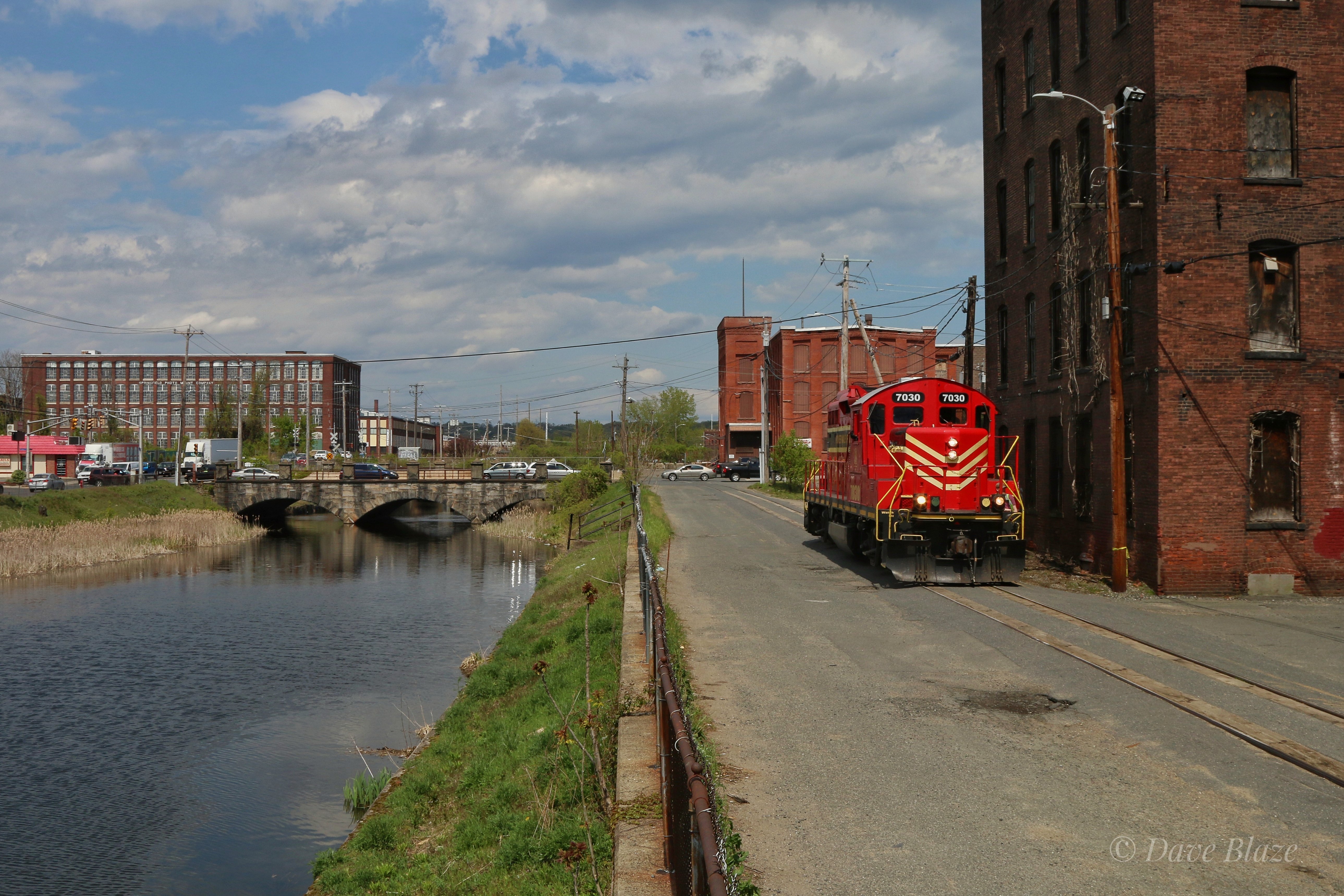
Down On The Streets of Holyoke
View from the bridge...
Nashawannuck Pond Flag (0505) 3

EDSP Switching PCA

"How green was my (Pioneer) Valley that day...green and bright in the sun."

EDSP Switching Across Route 5
Pastoral panorama...

EDSP Shoves Across Route 5

The Oxbow

EDSP Working PCL

Light and shadows of New England Autumn
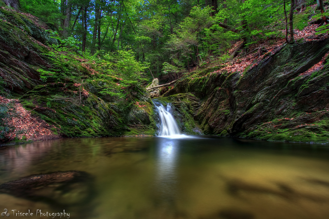
Little Pitcher Falls

EDSP Pausing to Work

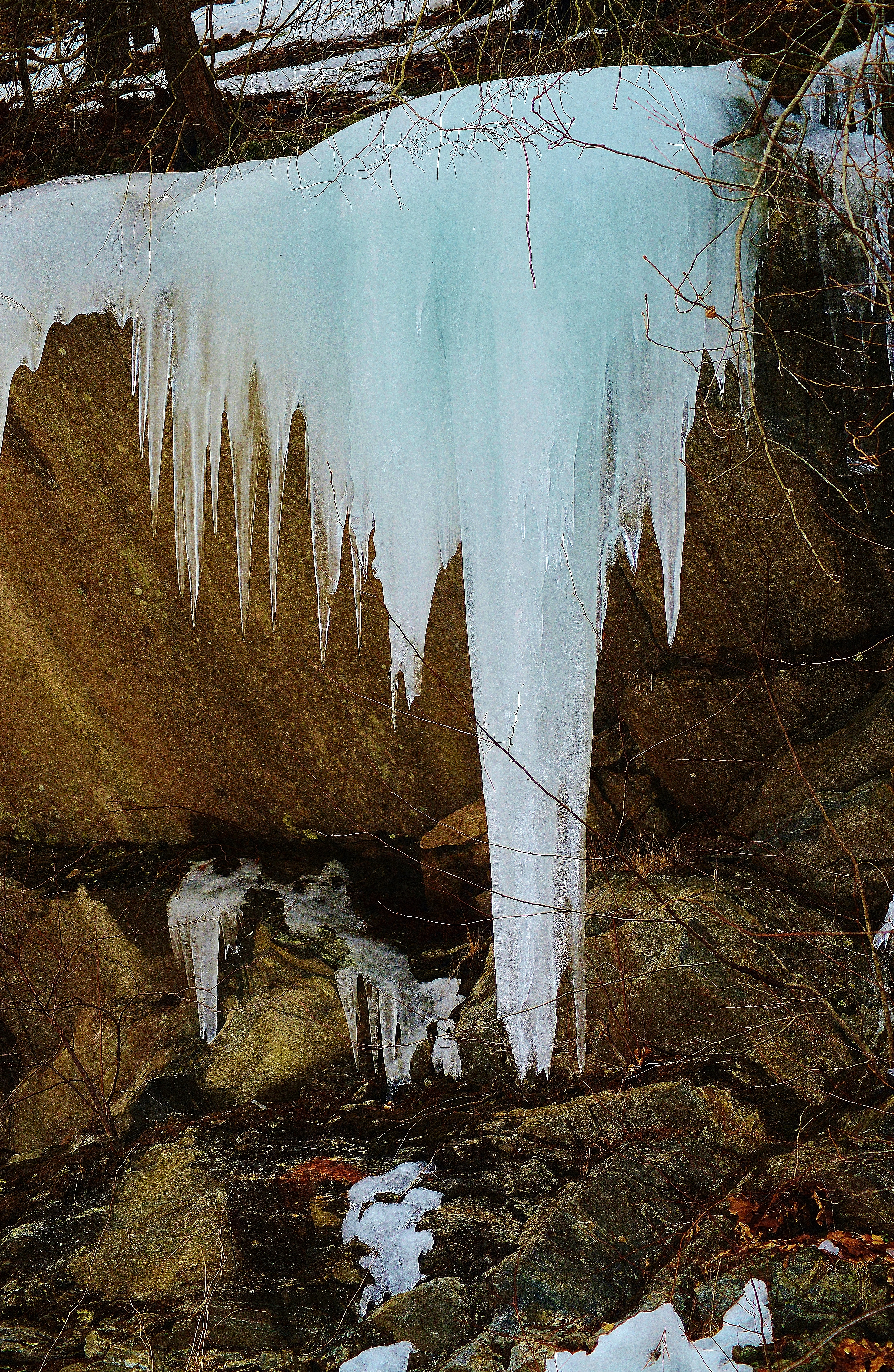
No Longer Used

And how beautiful life is...

Hulberts Pond, Easthampton MA at sunrise

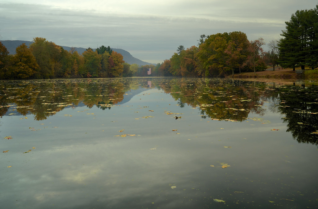
Dawn on the Connecticut River - Easthampton, MA

VividHDR Mextures edit
Along Jacob's Ladder

meadows on my mind
Topographic Map of Buck Pond Road, Buck Pond Rd, Westfield, MA, USA
Find elevation by address:

Places near Buck Pond Road, Buck Pond Rd, Westfield, MA, USA:
36 Schumann Dr
86 Sun Valley Rd
602 County Rd
1161 E Mountain Rd
43 Indian Ridge Rd
Walker Avenue
Lynn Ann Drive
Homestead Avenue
24 Briarcliff Dr, Westfield, MA, USA
161 Lower Westfield Rd
152 Jeffrey Ln
294 Union St
Jeffrey Lane
Jeffrey Lane
139 Union St
24 Wellfleet Dr
16 Wellfleet Dr
Macy's
45 Montgomery St
1 Sullivan Rd
Recent Searches:
- Elevation of Corso Fratelli Cairoli, 35, Macerata MC, Italy
- Elevation of Tallevast Rd, Sarasota, FL, USA
- Elevation of 4th St E, Sonoma, CA, USA
- Elevation of Black Hollow Rd, Pennsdale, PA, USA
- Elevation of Oakland Ave, Williamsport, PA, USA
- Elevation of Pedrógão Grande, Portugal
- Elevation of Klee Dr, Martinsburg, WV, USA
- Elevation of Via Roma, Pieranica CR, Italy
- Elevation of Tavkvetili Mountain, Georgia
- Elevation of Hartfords Bluff Cir, Mt Pleasant, SC, USA