Elevation of Bucca Wauka NSW, Australia
Location: Australia > New South Wales > Greater Taree City Council >
Longitude: 152.157134
Latitude: -32.104426
Elevation: 111m / 364feet
Barometric Pressure: 100KPa
Elevation Map:
Satellite Map:
Related Photos:

Avalon, Edwin and Alicia Wright's House 1912 - Built 1901, Near Krambach, NSW
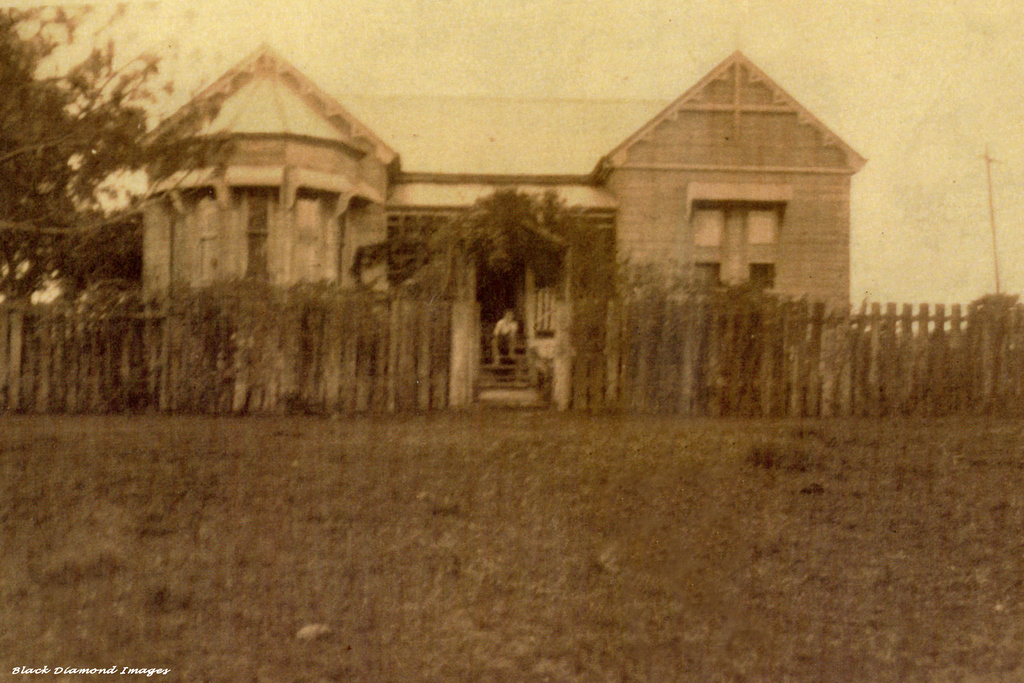
Avalon, Edwin and Alicia Wright's House 1912 - Built 1901, Near Krambach, NSW

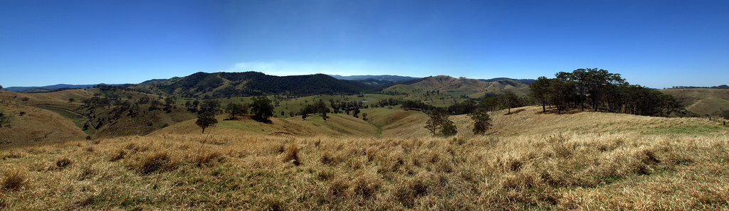
Rolling Hills
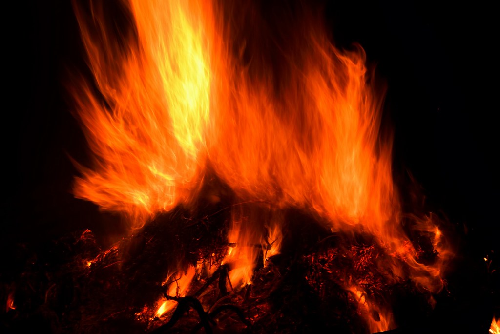
Flickering Flames
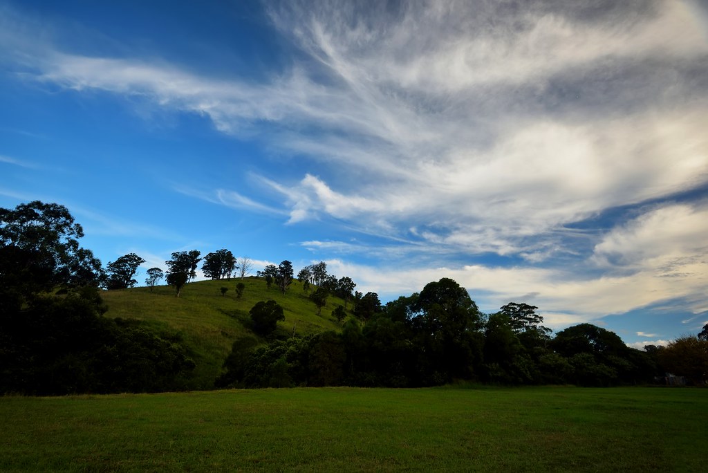
The Rolling Hills of Waukivory
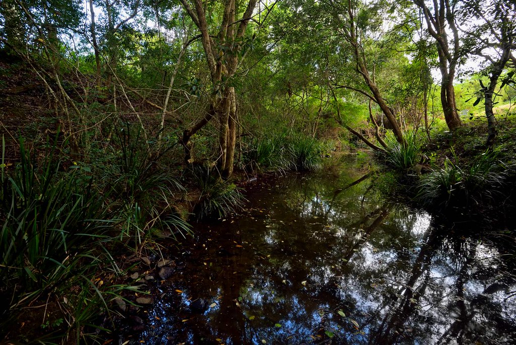
Waukivory Creek
The Three Pines Property
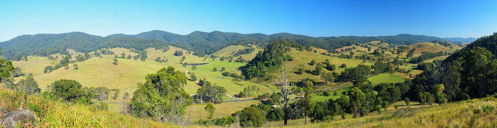
Rolling Hills of Waukivory
Trees on a Hill
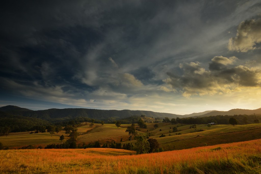
Sweet Green Fields
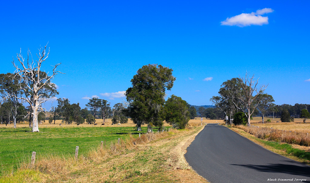
Southern Rural View Just Outside Village Limits - Dyers Crossing on Wallanbah Rd, Near Nabiac, NSW

Burnt Back Hills
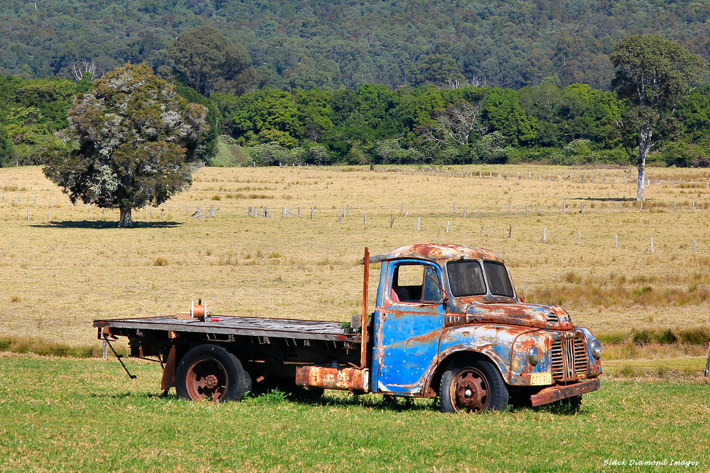
Old Truck in Paddock, Abbotts Rd, Dyers Crossing, Near Nabiac, NSW
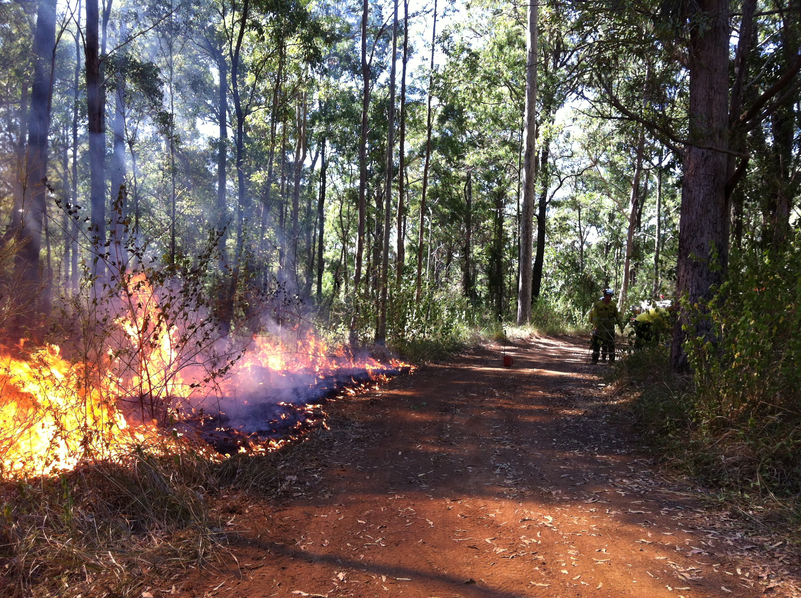
hazard reduction burn, Wallamba NR_111113_0001

Bunyah Public Hall & Tennis Court, Bunyah, West of Collongolook, NSW
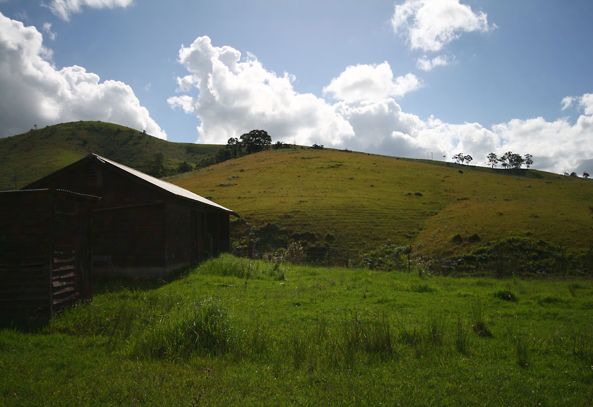
Hut & landscape
2009-10-14 16-14

Old Truck in Paddock, Abbotts Rd, Dyers Crossing, Near Nabiac, NSW

Three Pines
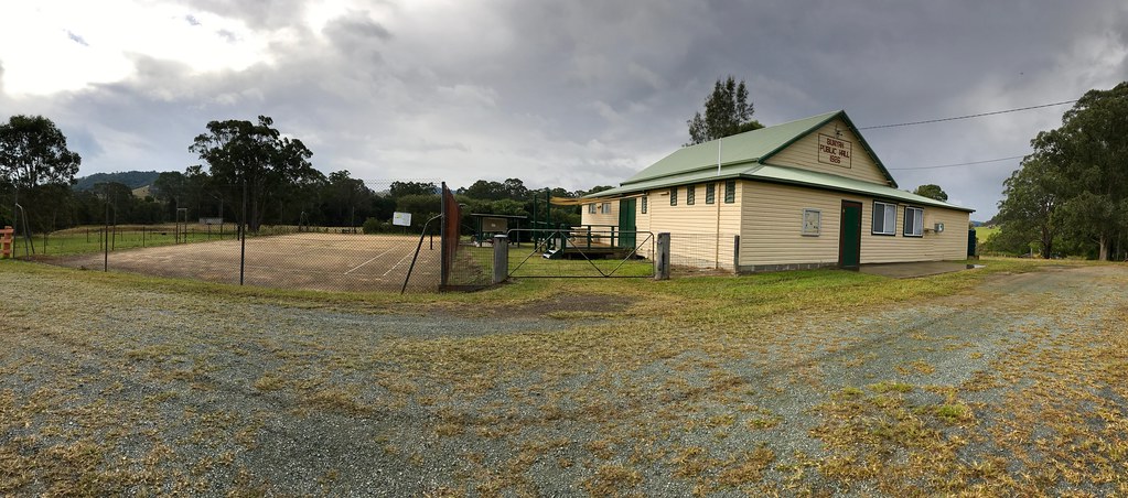
Bunyah Public Hall & Tennis Court, Bunyah, West of Collongolook, NSW
Topographic Map of Bucca Wauka NSW, Australia
Find elevation by address:

Places near Bucca Wauka NSW, Australia:
256 Buccabeappleby Creek Rd
99 Kundle Creek Ln
118 Watsons Rd
3232 The Bucketts Way
Wang Wauk
237 Firefly Rd
Krambach
1270 Nowendoc Rd
Gloucester
Hillville
Nowendoc Road
Nabiac
1580 Nowendoc Rd
190 Sunshine Rd
1433 Wootton Way
Mount George
Wootton
335 Kardinia Rd
Midcoast Council
285 Barrington W Rd
Recent Searches:
- Elevation of Corso Fratelli Cairoli, 35, Macerata MC, Italy
- Elevation of Tallevast Rd, Sarasota, FL, USA
- Elevation of 4th St E, Sonoma, CA, USA
- Elevation of Black Hollow Rd, Pennsdale, PA, USA
- Elevation of Oakland Ave, Williamsport, PA, USA
- Elevation of Pedrógão Grande, Portugal
- Elevation of Klee Dr, Martinsburg, WV, USA
- Elevation of Via Roma, Pieranica CR, Italy
- Elevation of Tavkvetili Mountain, Georgia
- Elevation of Hartfords Bluff Cir, Mt Pleasant, SC, USA