Elevation of Brutton Way, Chard TA20, UK
Location: United Kingdom > England > Somerset >
Longitude: -2.97004
Latitude: 50.8691341
Elevation: 135m / 443feet
Barometric Pressure: 100KPa
Elevation Map:
Satellite Map:
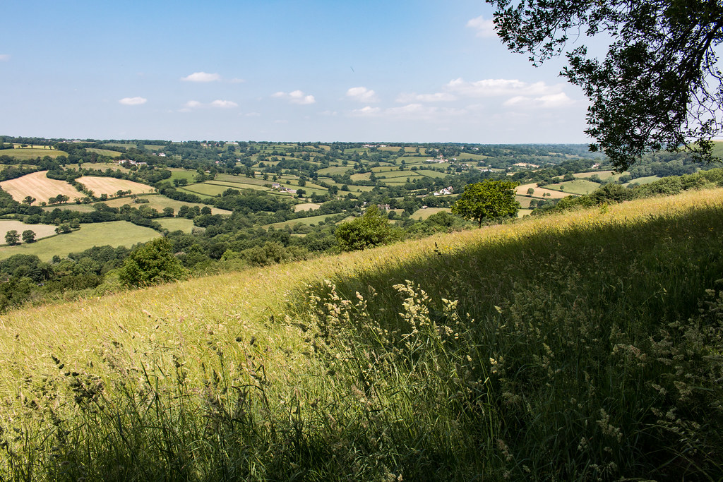
Related Photos:

End of the day in black and white

Time, Space and Place

A Moment Frozen in Time - Swing on top of the Hill - 'Explored'

Banger Racing, Smeatharpe Feb 2017 - 101

Banger Racing, Smeatharpe Feb 2017

Banger Racing, Smeatharpe Feb 2017

Banger Racing, Smeatharpe Feb 2017

Banger Racing, Smeatharpe Feb 2017

Banger Racing, Smeatharpe Feb 2017

Banger Racing, Smeatharpe Feb 2017

Banger Racing, Smeatharpe Feb 2017

Banger Racing, Smeatharpe Feb 2017

Spring View.

Banger Racing, Smeatharpe Feb 2017

Banger Racing, Smeatharpe Feb 2017

Just hit it - Banger Racing, Smeatharpe Feb 2017

Banger Racing, Smeatharpe Feb 2017

Banger Racing, Smeatharpe Feb 2017

Cockpit Hill from Pilsdon

Banger Racing, Smeatharpe Feb 2017

Charmouth View

Forde Abbey and Gardens

Dumpdon Hill Fort

Loving the shade!

Charmouth, Jurassic coast, Dorset
Landscape vista from Dumpdon Hill

PB290521-1

DJI Phantom 3 Drone Above Axminster

Charmouth Coastline

DJI Phantom 3 Drone Above Axminster

Dorset Haze

Charmouth Beach

Last high speed kick on the Mule

Charmouth, Dorset [Explored 28 on Monday, September 23, 2013 ]

Dorset landscape

The Jurassic Coast

cut and awaiting baling (Explored)

Charmouth & The Golden Cap
Topographic Map of Brutton Way, Chard TA20, UK
Find elevation by address:

Places near Brutton Way, Chard TA20, UK:
Brutton Way
Chard
Ta20 3bl
Ta20 3bz
Chardstock
5 Green Ln, Chardstock, Axminster EX13 7BL, UK
New Road
Winsham
Ilminster
Orchard Cottage
Lower Chillington
Whitty Cottages, Curland, Taunton TA3 5BD, UK
Curland
Downton House
Wayford
Hurcott
3 Hurcott Green, Hurcott, Ilminster TA19 0JS, UK
Pitminster
Churchstanton
Recent Searches:
- Elevation of Corso Fratelli Cairoli, 35, Macerata MC, Italy
- Elevation of Tallevast Rd, Sarasota, FL, USA
- Elevation of 4th St E, Sonoma, CA, USA
- Elevation of Black Hollow Rd, Pennsdale, PA, USA
- Elevation of Oakland Ave, Williamsport, PA, USA
- Elevation of Pedrógão Grande, Portugal
- Elevation of Klee Dr, Martinsburg, WV, USA
- Elevation of Via Roma, Pieranica CR, Italy
- Elevation of Tavkvetili Mountain, Georgia
- Elevation of Hartfords Bluff Cir, Mt Pleasant, SC, USA