Elevation of Brunnbach 29, Brunnbach, Austria
Location: Austria > Upper Austria > Steyr-land District > Großraming >
Longitude: 14.5023875
Latitude: 47.8141538
Elevation: 759m / 2490feet
Barometric Pressure: 93KPa
Elevation Map:
Satellite Map:
Related Photos:
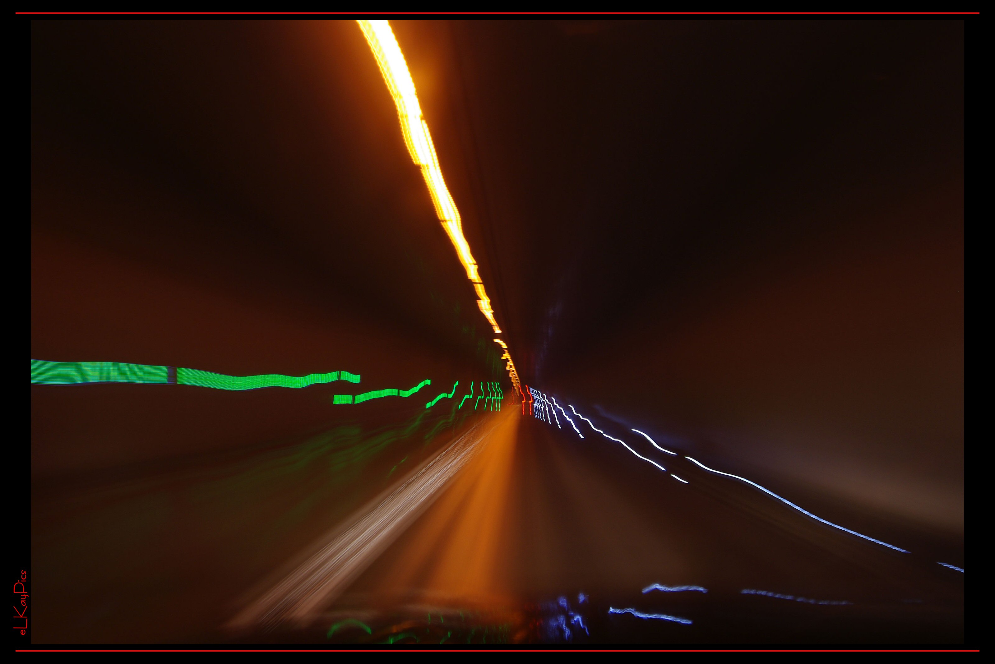
On The Road
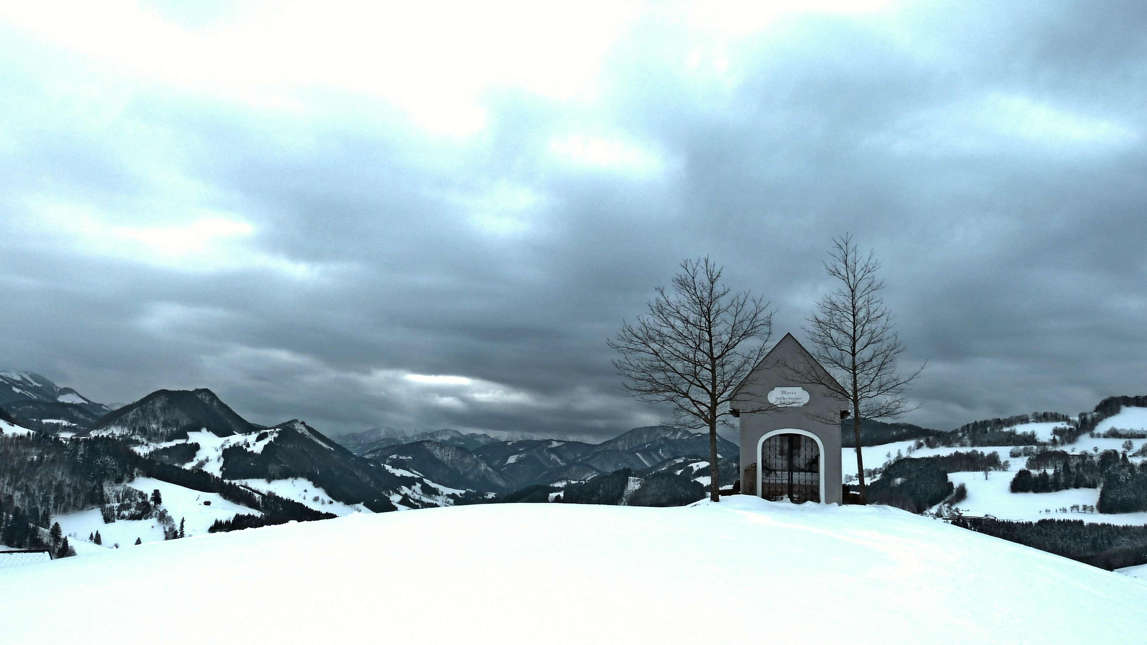
View from Maria Neustift
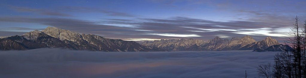
Illuminated by the Moon
WOOOOOOOAAAAAAAAHHHHH!!!
my ride ...
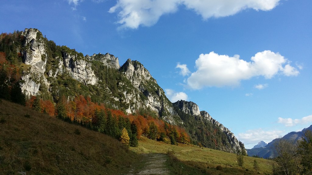
Hengstpass - Austria
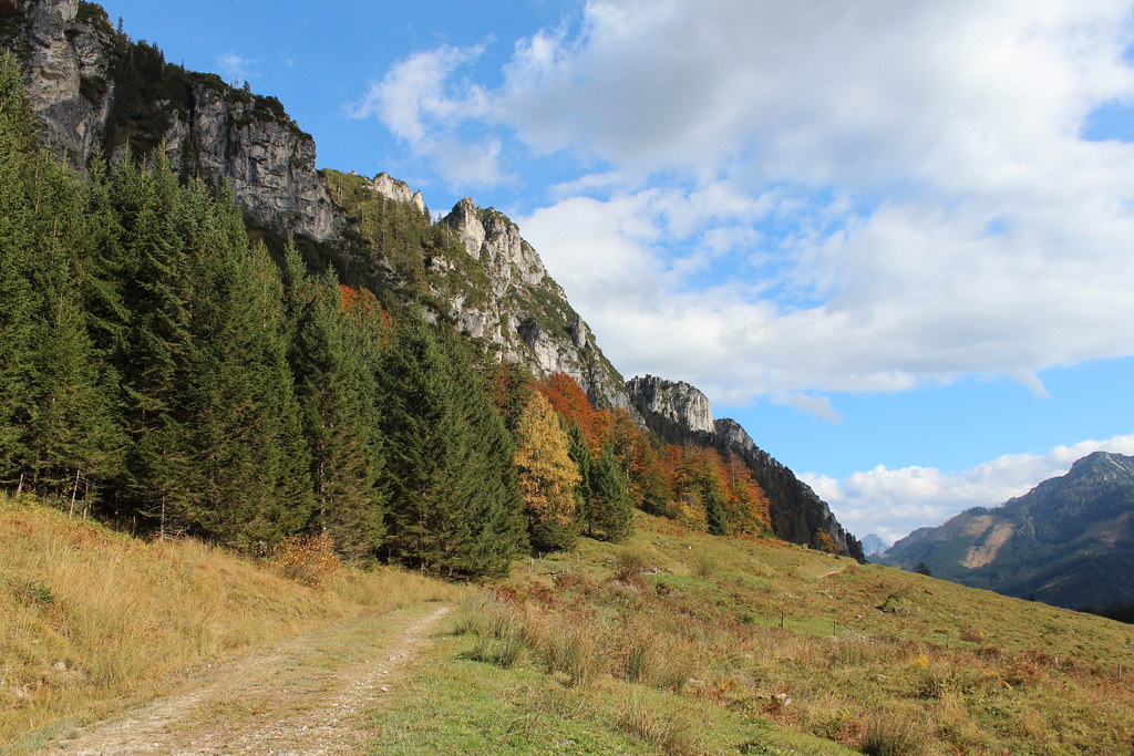
Hengstpass - Austria
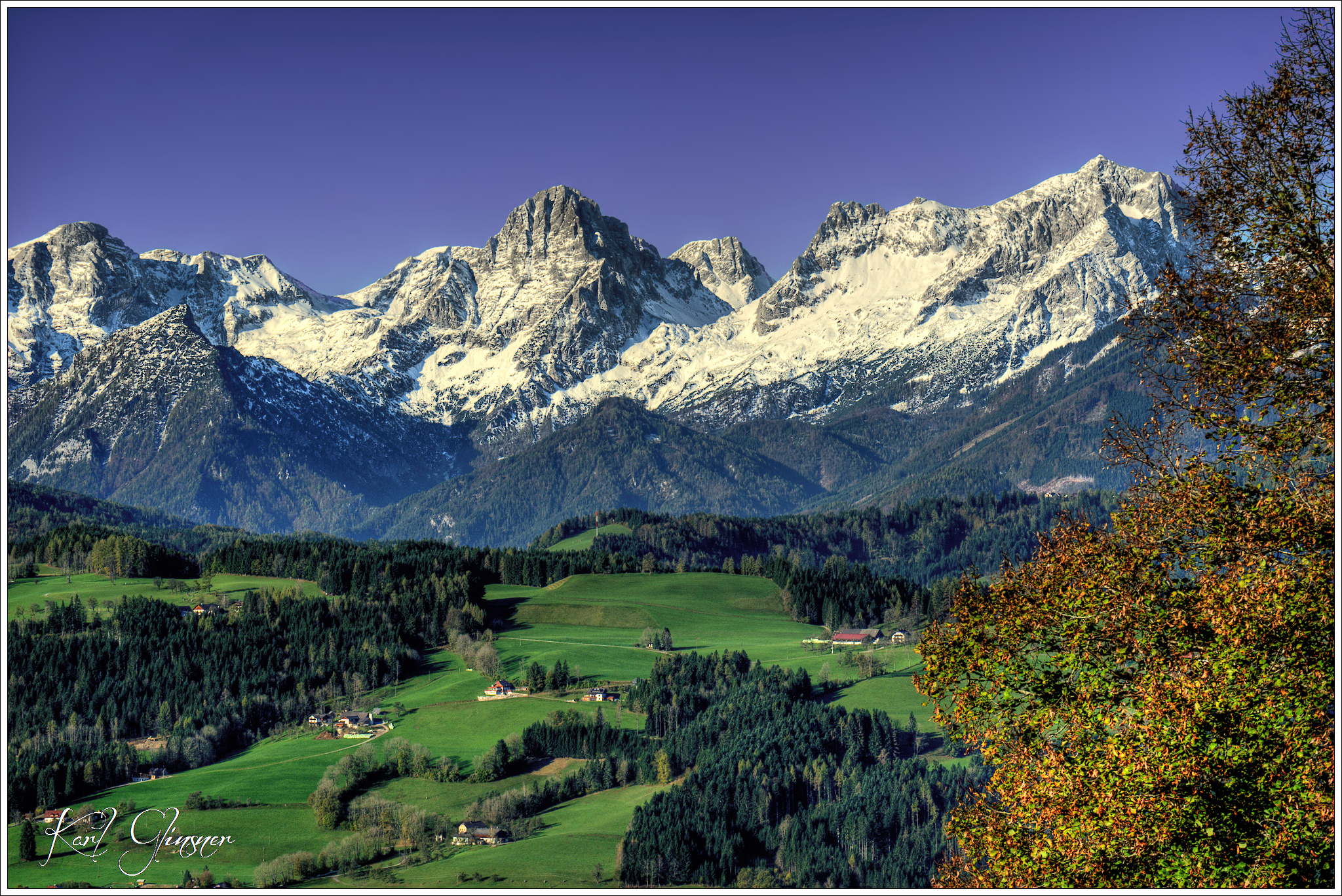
Totes Gebirge
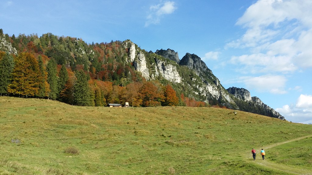
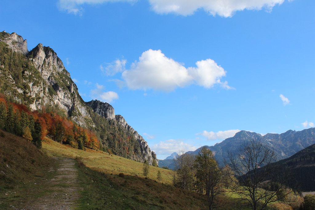
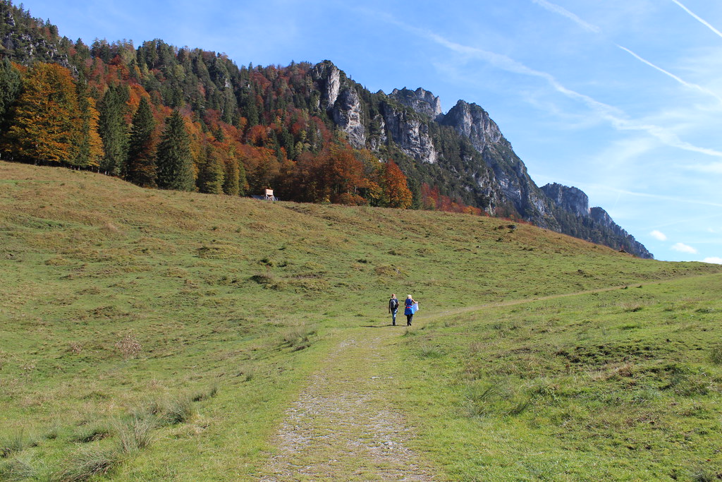
Hengstpass - Austria
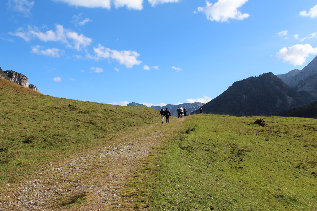
Hengstpass - Austria
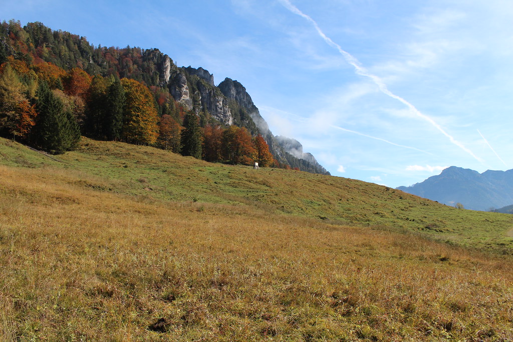
Hengstpass - Austria

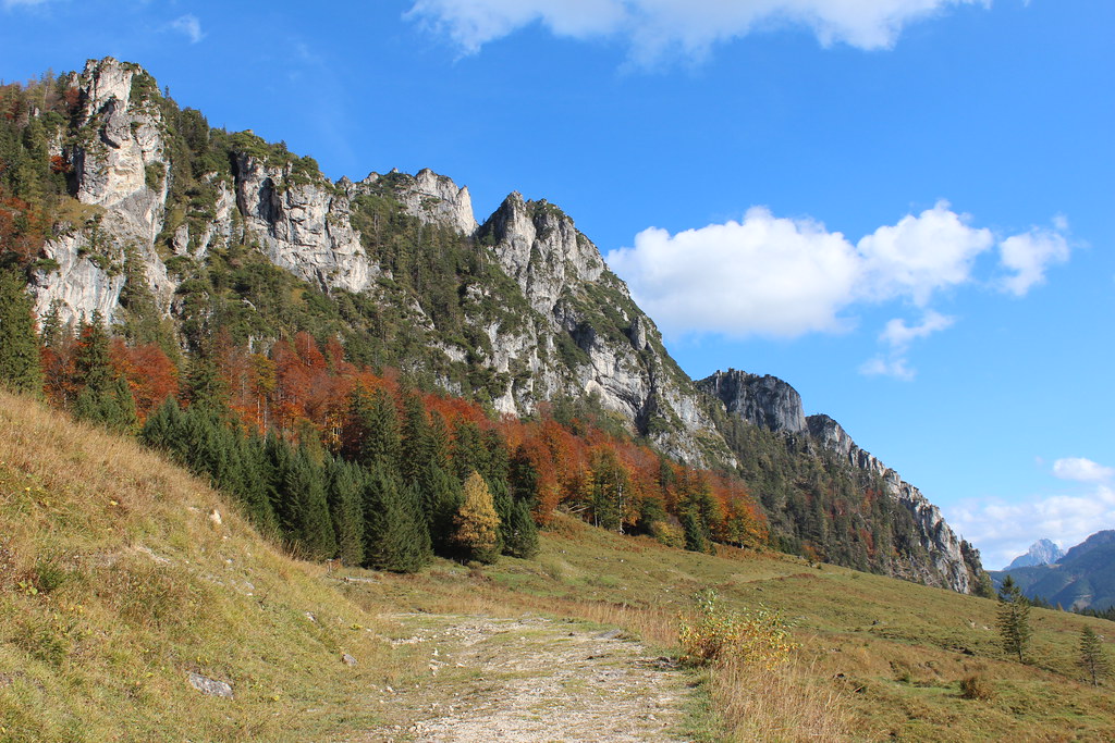
Hengstpass - Austria

Hengstpass - Austria
Hengstpass - Austria
Hengstpass - Austria

Hengstpass - Austria
Hengstpass - Austria

Windischgarsten, Austria
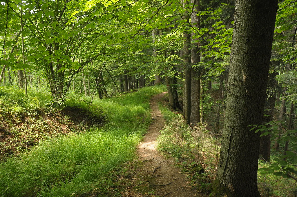
durch den Wald
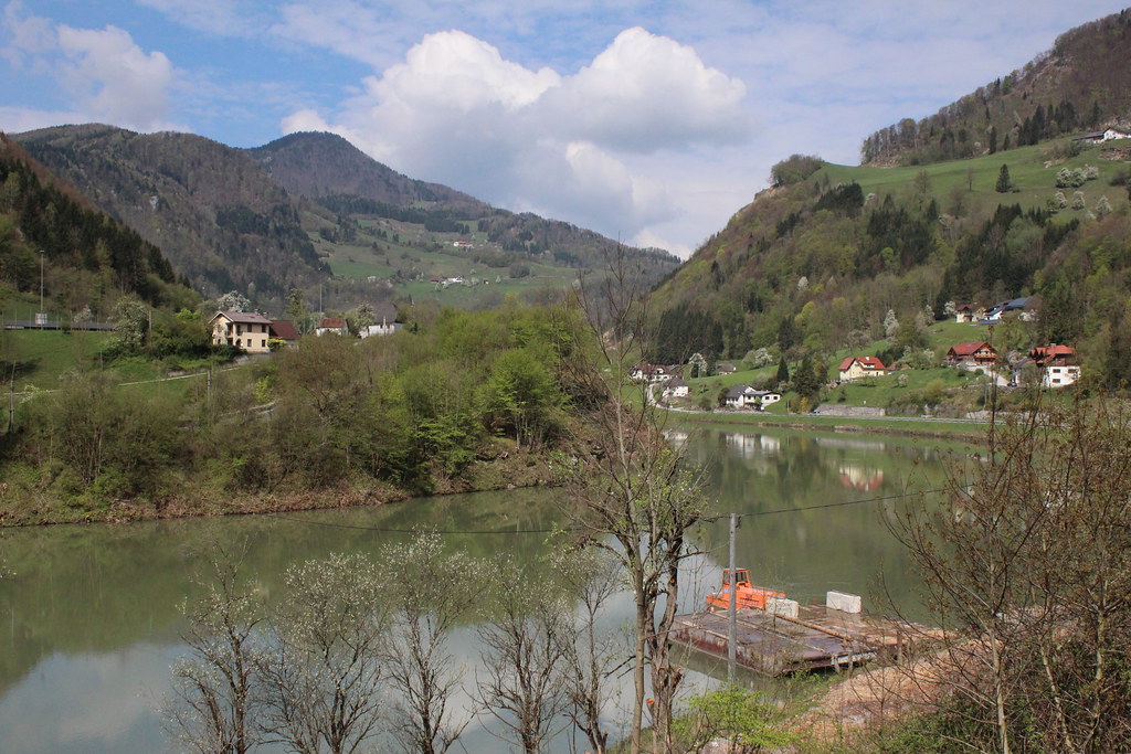
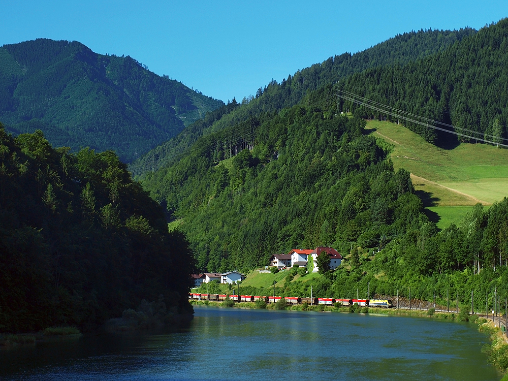
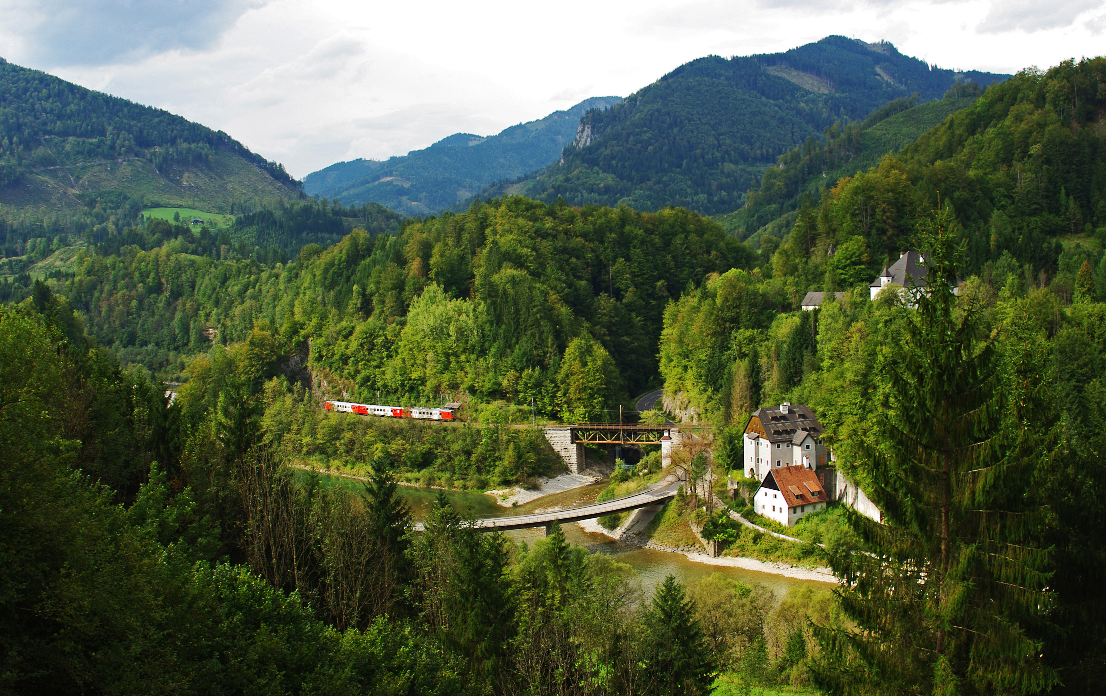
Reichraming - Upper Austria

Laussafall in Slowmotion

Windischgarsten, Austria
Topographic Map of Brunnbach 29, Brunnbach, Austria
Find elevation by address:

Places near Brunnbach 29, Brunnbach, Austria:
Brunnbach 2, Brunnbach, Austria
Lumplgraben, Lumplgraben, Austria
Großraming
Steyr-land District
Kleinreifling 87
Hintstein 51, Hintstein, Austria
Kleinreifling
Upper Austrian Prealps
Weyer
Gemeinde Weyer
Kohlergraben 7, Kohlergraben, Austria
Reithuberstraße 16, Austria
Sankt Ulrich Bei Steyr
Pesendorfstraße 31, Austria
Wehrgrabengasse 7
Steyr
Steyr
Im Gstadt 1
Molln
Gemeinde Molln
Recent Searches:
- Elevation of Corso Fratelli Cairoli, 35, Macerata MC, Italy
- Elevation of Tallevast Rd, Sarasota, FL, USA
- Elevation of 4th St E, Sonoma, CA, USA
- Elevation of Black Hollow Rd, Pennsdale, PA, USA
- Elevation of Oakland Ave, Williamsport, PA, USA
- Elevation of Pedrógão Grande, Portugal
- Elevation of Klee Dr, Martinsburg, WV, USA
- Elevation of Via Roma, Pieranica CR, Italy
- Elevation of Tavkvetili Mountain, Georgia
- Elevation of Hartfords Bluff Cir, Mt Pleasant, SC, USA