Elevation of Brudenell, Lyndoch and Raglan, ON K0J, Canada
Location: Canada > Ontario > Renfrew County >
Longitude: -77.363107
Latitude: 45.3158888
Elevation: 325m / 1066feet
Barometric Pressure: 97KPa
Elevation Map:
Satellite Map:
Related Photos:
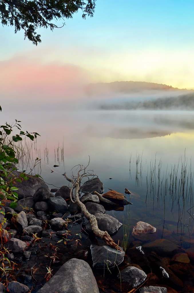
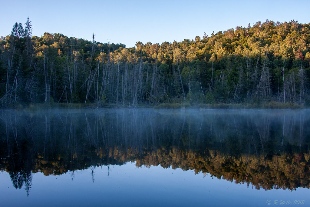
Morning mist on Genricks Lake
2013:365:232
Roaming the Highlands
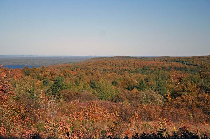
Valley view from Foymount
View from Foymount
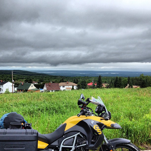
The view from Foymount. Highway 66 is a MINDBLOWER. #ontariomotoroads @ontarioshighlands
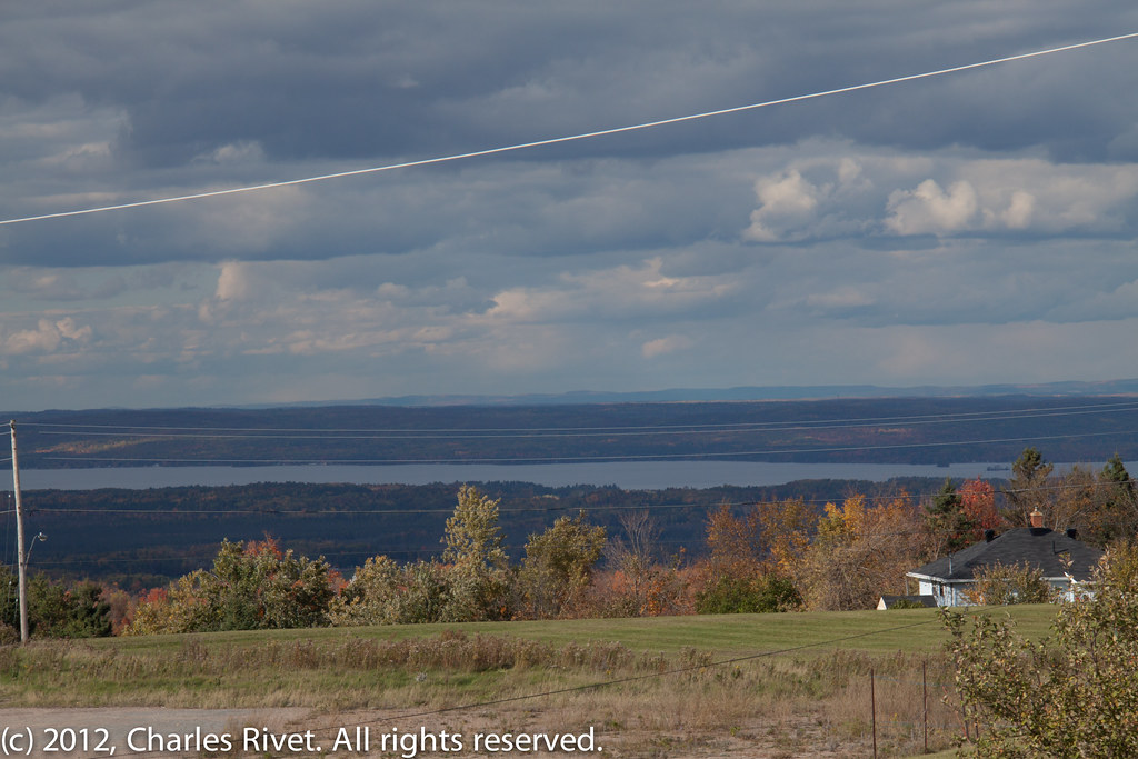
View from Foymount, Ontario
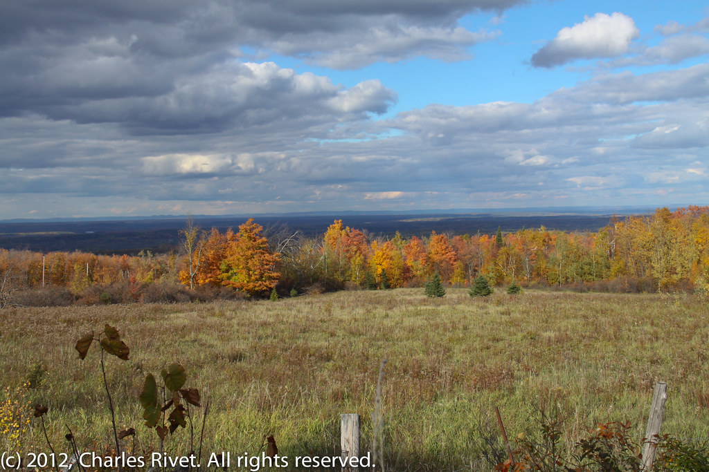
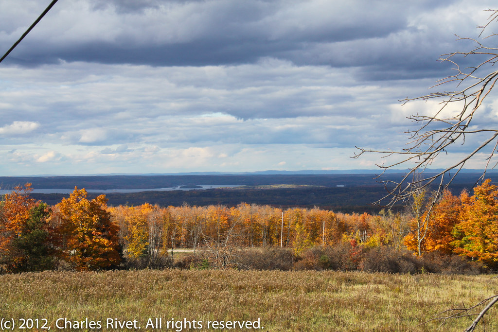
Fall Valley
_MG_7299.jpg
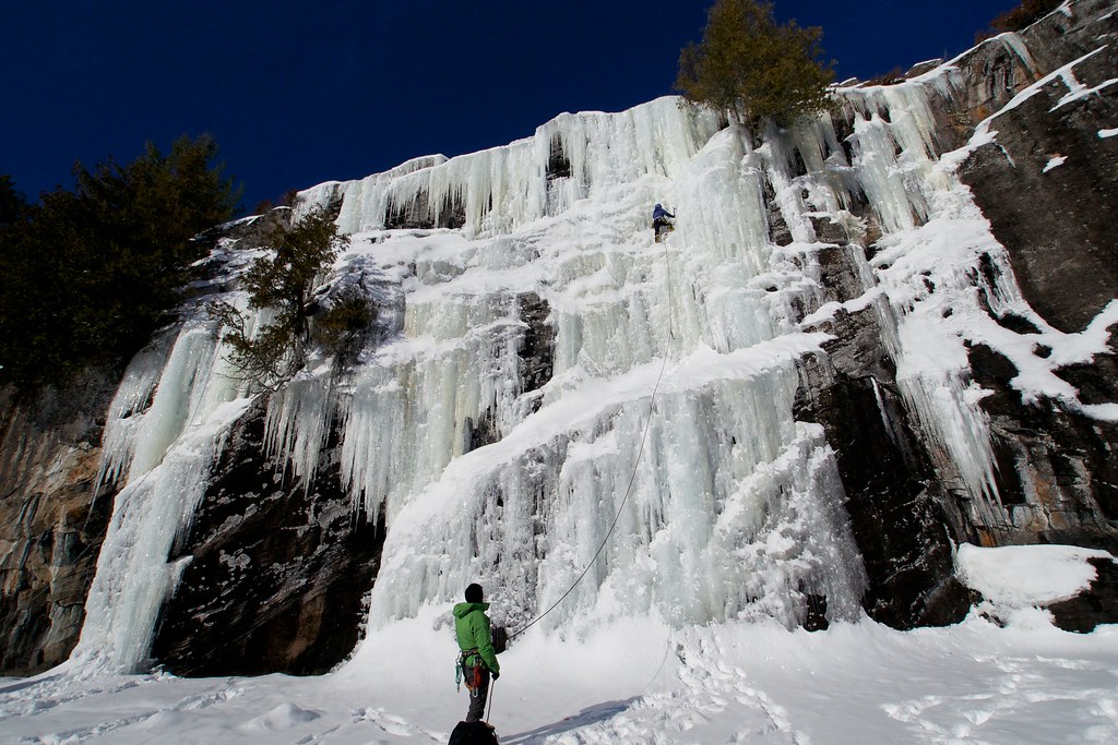
Elaine on lead
Spring Snow
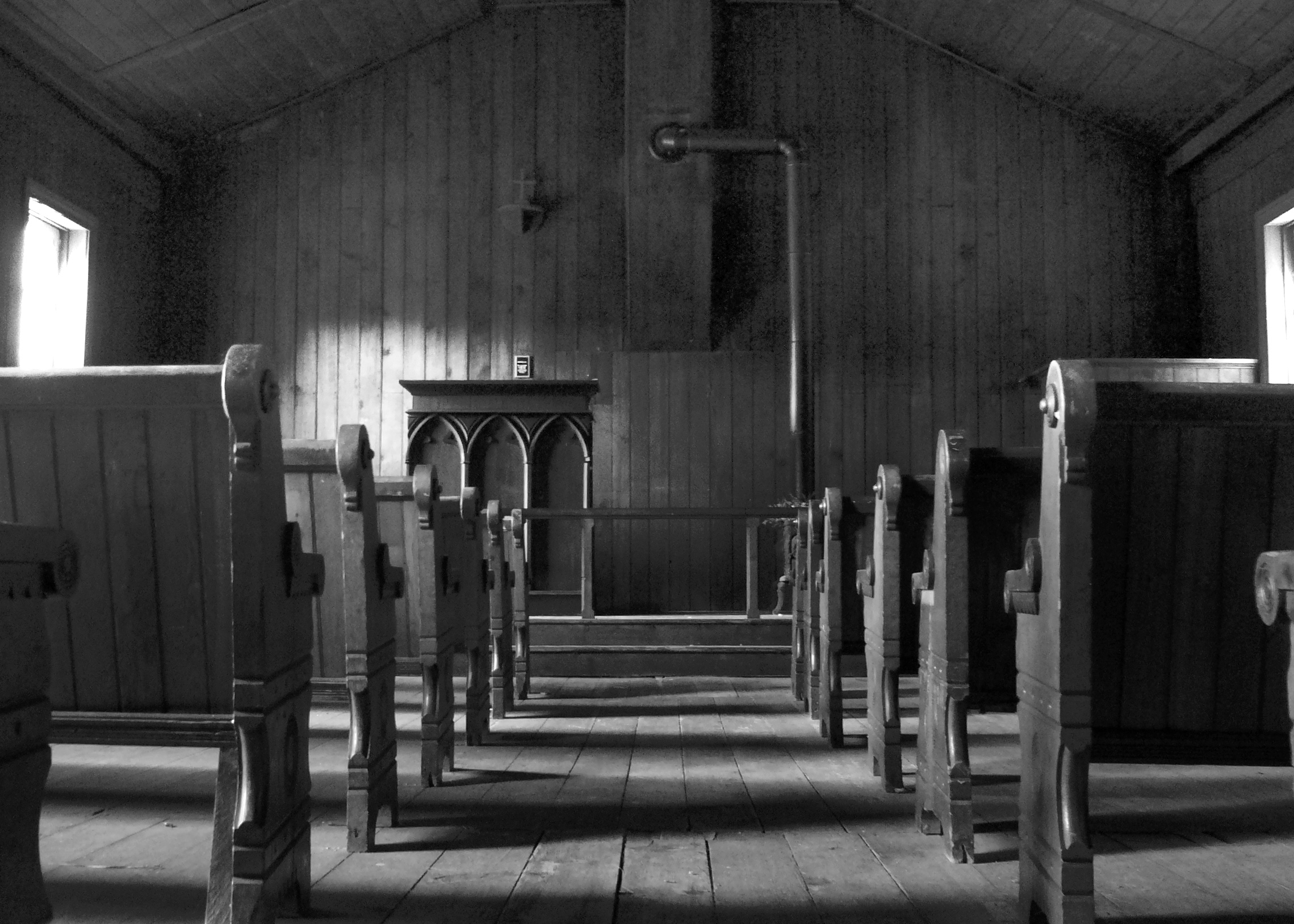
Church Landscape

Creek Crossing
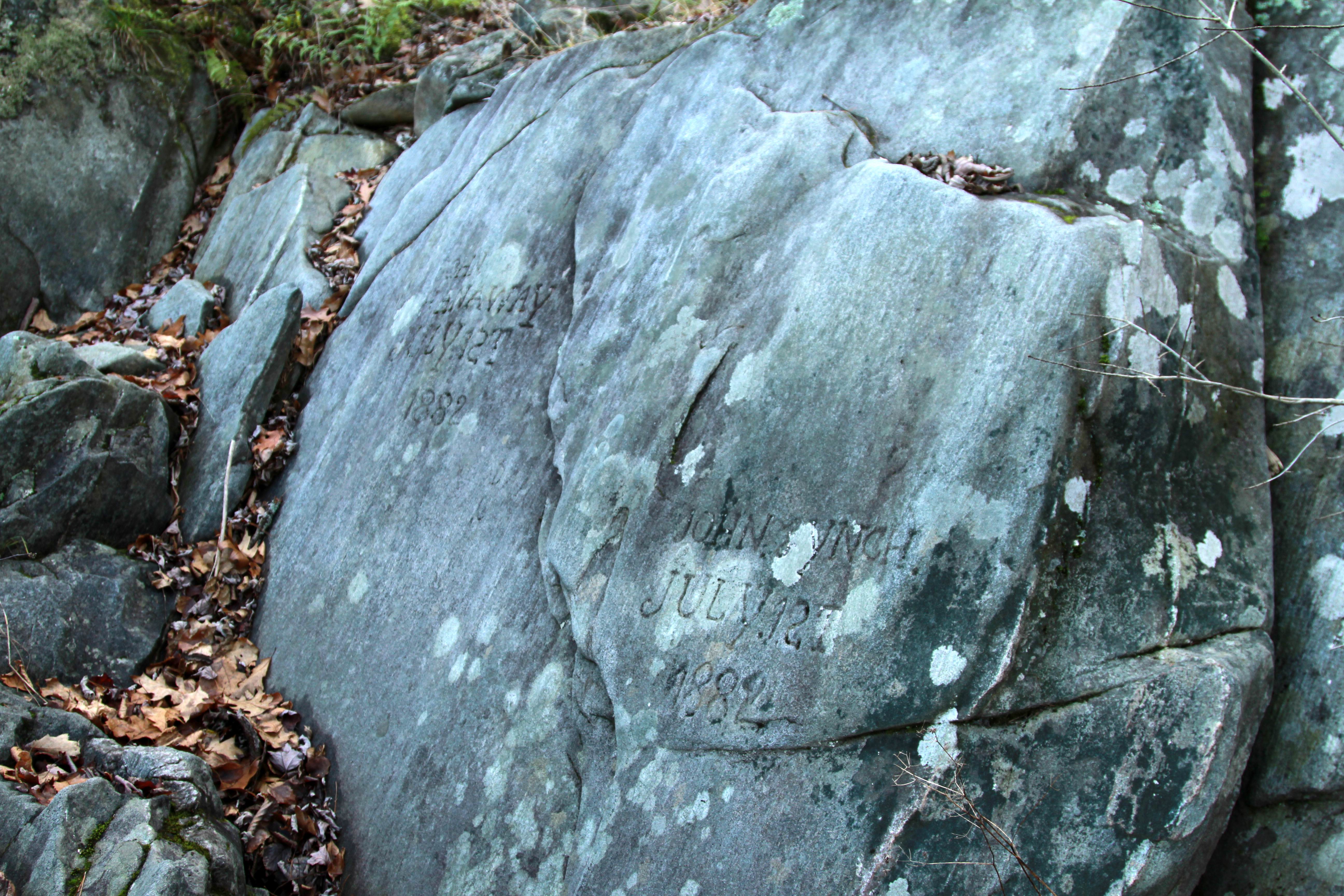
July 12th, 1882
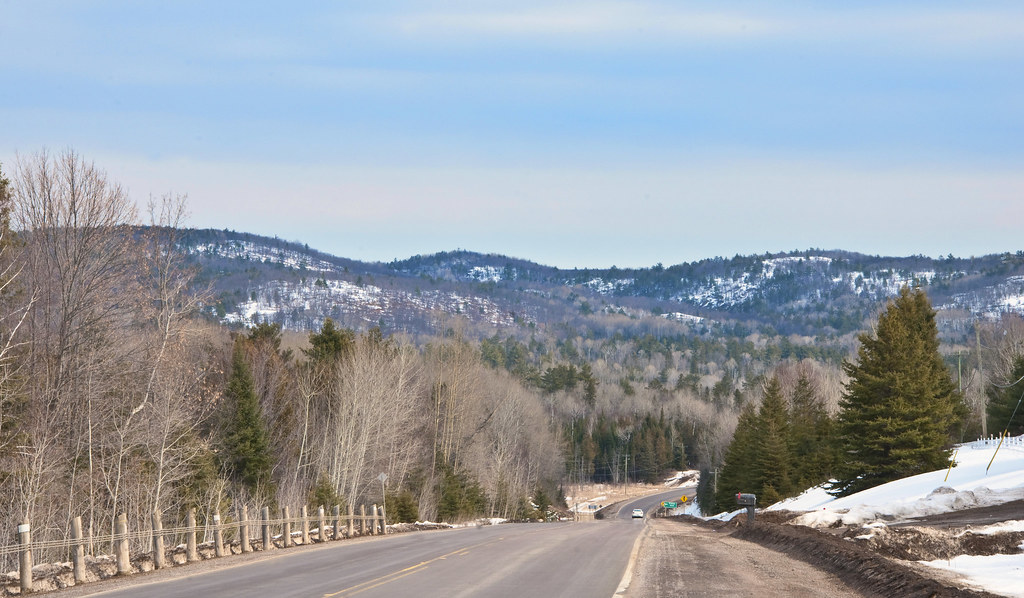
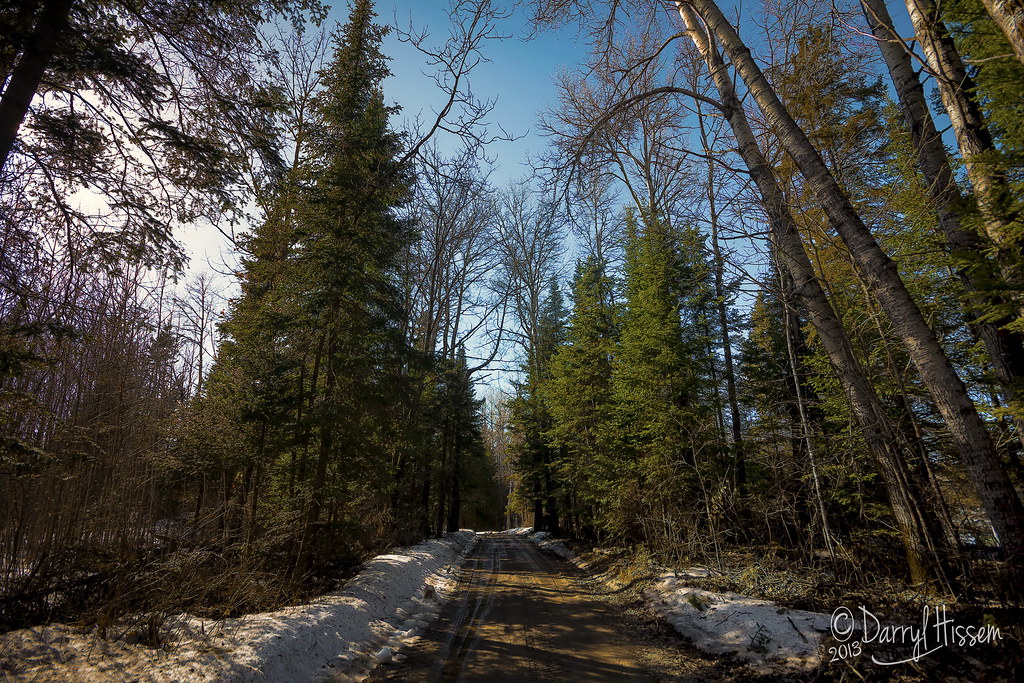
Hwy#41 & Madawaska Hills
Topographic Map of Brudenell, Lyndoch and Raglan, ON K0J, Canada
Find elevation by address:

Places in Brudenell, Lyndoch and Raglan, ON K0J, Canada:
Places near Brudenell, Lyndoch and Raglan, ON K0J, Canada:
199 Madigan Rd
Big Eneas Lake
282 Hermans Dr
Letterkenny
Luloff Lane
Palmer Rapids
Rochefort Road
3094 Mountain View Rd
3191 Mountain View Rd
8 Angus St
8 Angus St
Killaloe
130 Queen St
Golden Lake
Combermere
1064 Church St
1176 Kuiack Rd
Wilno
14 Shalla St
Mcnee Drive
Recent Searches:
- Elevation of Corso Fratelli Cairoli, 35, Macerata MC, Italy
- Elevation of Tallevast Rd, Sarasota, FL, USA
- Elevation of 4th St E, Sonoma, CA, USA
- Elevation of Black Hollow Rd, Pennsdale, PA, USA
- Elevation of Oakland Ave, Williamsport, PA, USA
- Elevation of Pedrógão Grande, Portugal
- Elevation of Klee Dr, Martinsburg, WV, USA
- Elevation of Via Roma, Pieranica CR, Italy
- Elevation of Tavkvetili Mountain, Georgia
- Elevation of Hartfords Bluff Cir, Mt Pleasant, SC, USA