Elevation of Bruce, WI, USA
Location: United States > Wisconsin > Rusk County >
Longitude: -91.273210
Latitude: 45.4569087
Elevation: 337m / 1106feet
Barometric Pressure: 97KPa
Elevation Map:
Satellite Map:
Related Photos:

Thornapple River

View of the Eclipse through my wielding helmet

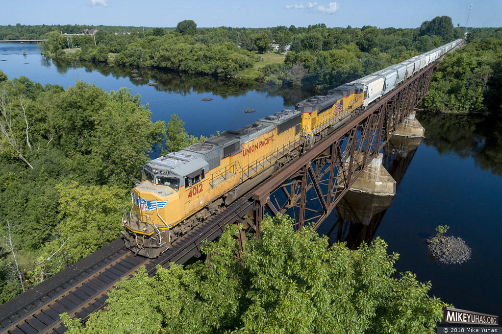
Minneapolis, St. Paul & Sault Ste. Marie Railway- Soo Line, (Wisconsin Central Ltd), Wisconsin, Ladysmith (13,576)

The Flambeau River

SOO X579 Interior

Minneapolis, St. Paul & Sault Ste. Marie Railway- Soo Line, Wisconsin, Ladysmith (14,038)

No. 3544 - Canadian National - Ladysmith, Wis.

Rustic Times
CN L520

On The Fly

Flambeau River

Dorocordulia libera

dragonfly hotspot along Chippewa River

Chippewa River

Nigronia serricornis - Dark Fishfly

House wren

Nigronia serricornis - Dark Fishfly
Topographic Map of Bruce, WI, USA
Find elevation by address:

Places near Bruce, WI, USA:
Thornapple
Sawdust Road
N6355 Dearhamer Rd
Rusk County
Exeland
13236 Deer Lake Rd
13236 Deer Lake Rd
Meteor
4599 Whispering Pines Dr
Holcombe
Lake Holcombe
Rock Lake Resort & Campground
Cornell
Main St, Cornell, WI, USA
W5551
Sawyer County
N5765
Chippewa County
th Ave, Gilman, WI, USA
Anson
Recent Searches:
- Elevation of Corso Fratelli Cairoli, 35, Macerata MC, Italy
- Elevation of Tallevast Rd, Sarasota, FL, USA
- Elevation of 4th St E, Sonoma, CA, USA
- Elevation of Black Hollow Rd, Pennsdale, PA, USA
- Elevation of Oakland Ave, Williamsport, PA, USA
- Elevation of Pedrógão Grande, Portugal
- Elevation of Klee Dr, Martinsburg, WV, USA
- Elevation of Via Roma, Pieranica CR, Italy
- Elevation of Tavkvetili Mountain, Georgia
- Elevation of Hartfords Bluff Cir, Mt Pleasant, SC, USA