Elevation of Bruce County Rd 20, Tiverton, ON N0G 2T0, Canada
Location: Canada > Ontario > Bruce County > Kincardine >
Longitude: -81.392011
Latitude: 44.2489765
Elevation: 267m / 876feet
Barometric Pressure: 98KPa
Elevation Map:
Satellite Map:
Related Photos:

GO CANADA GO!
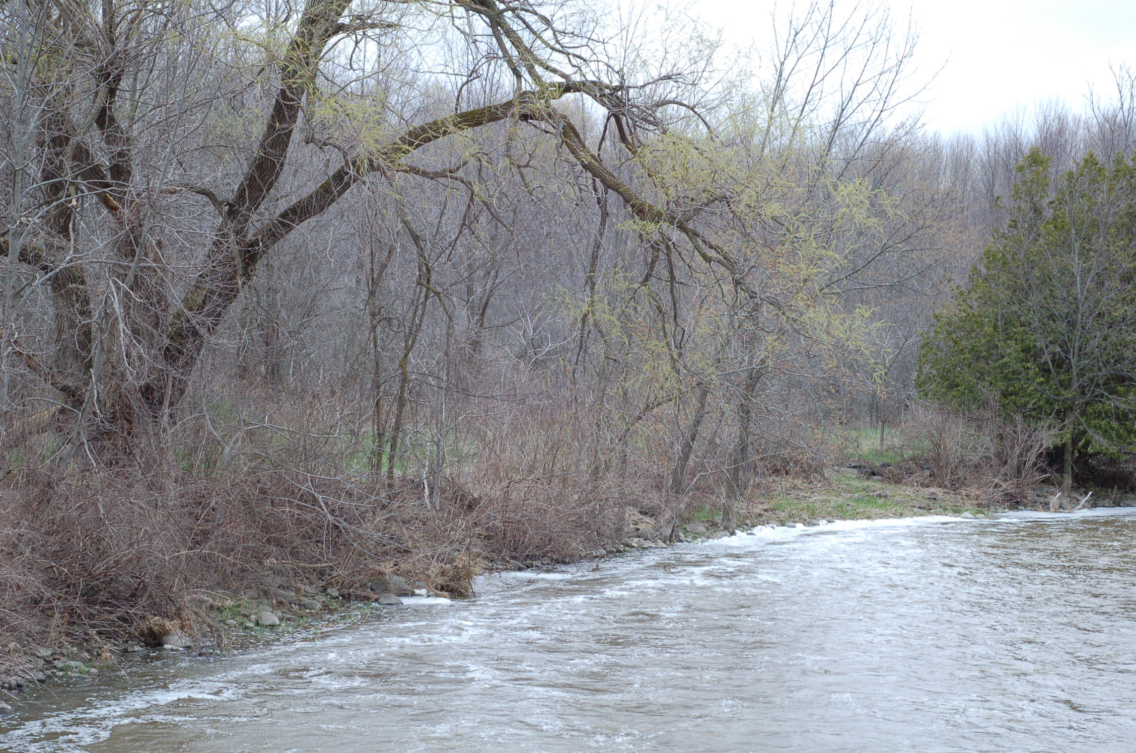
Teeswater River
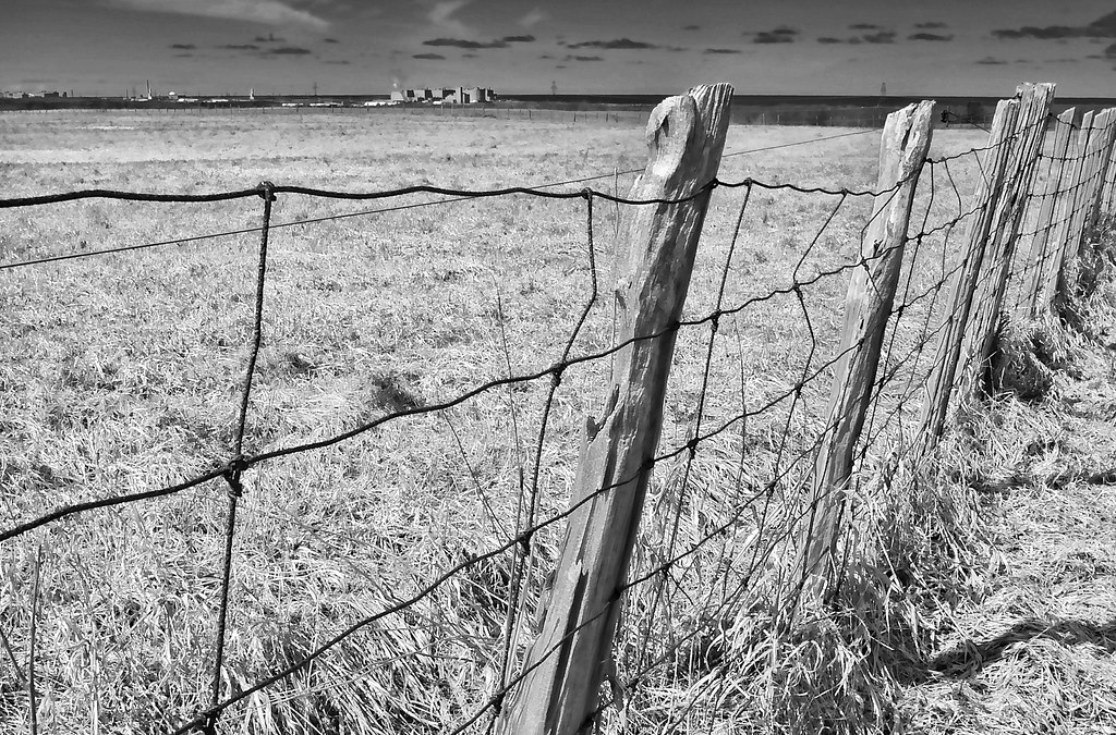
Lake on the Horizon in B&W ~ HFF
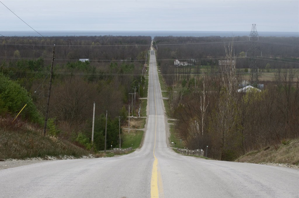
View from the Ridge
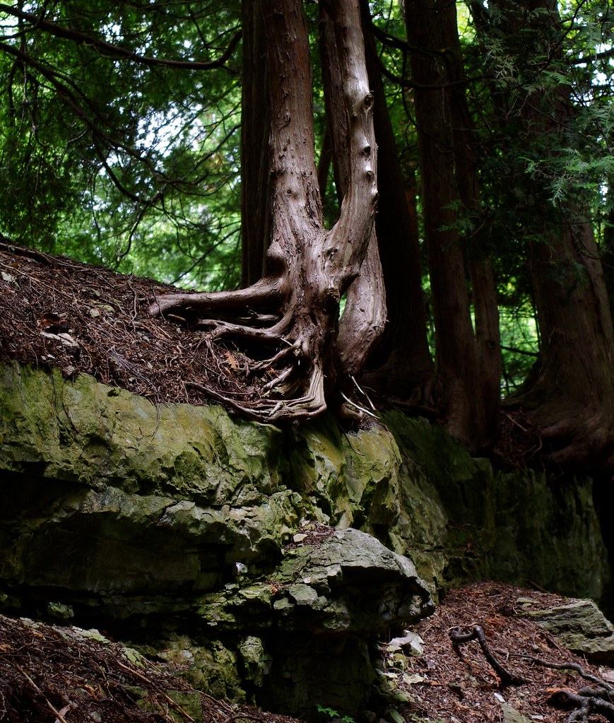
Holding on...
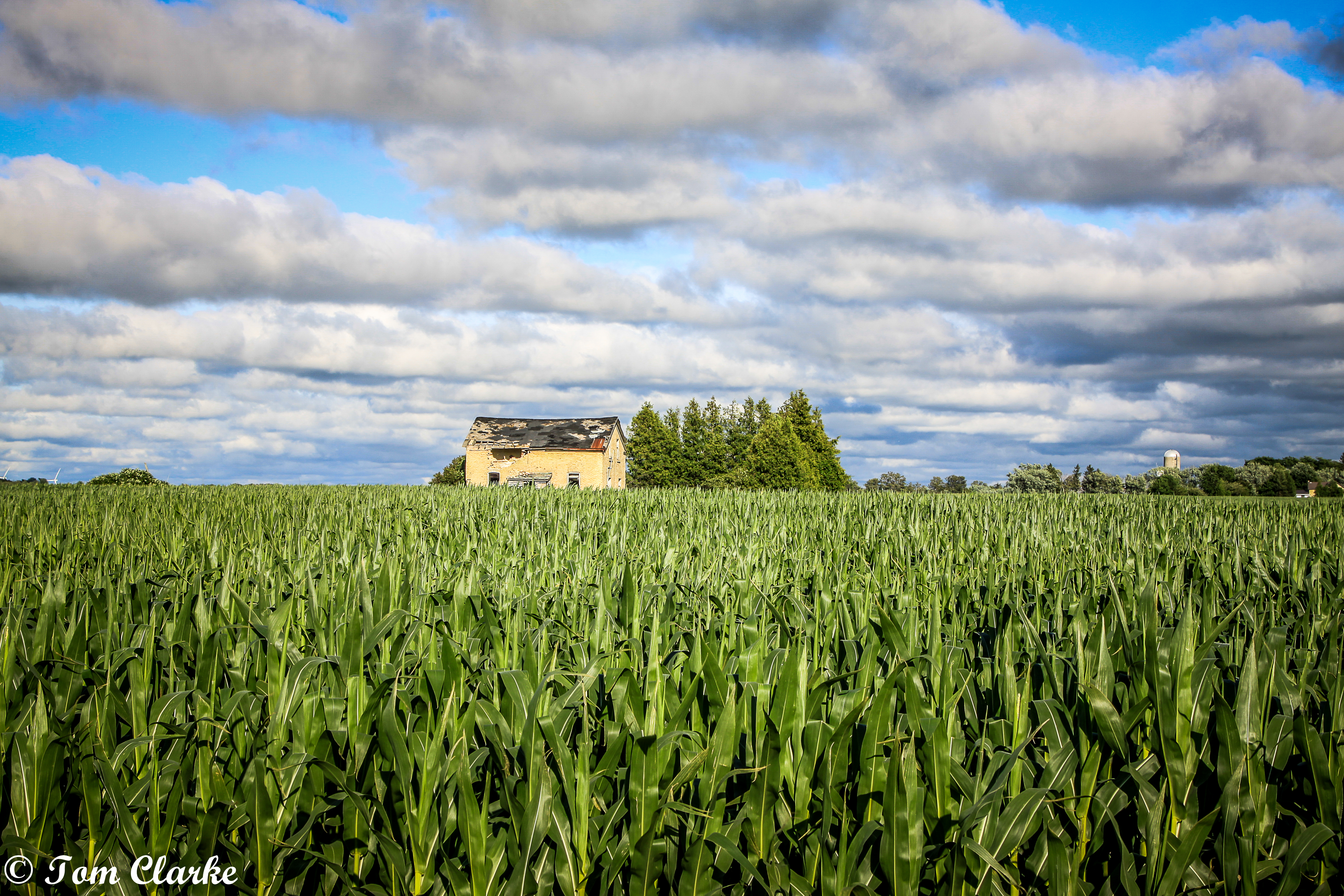
Corn Fild
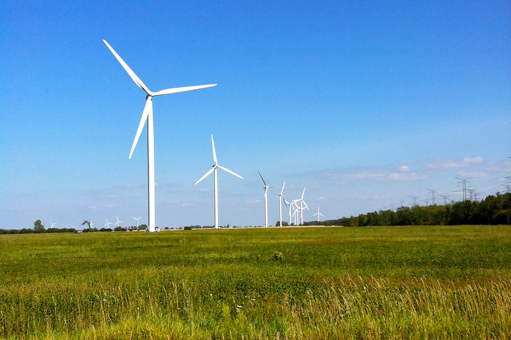
Wind Turbines

Saugeen 058

Saugeen 039

Location, location...
Topographic Map of Bruce County Rd 20, Tiverton, ON N0G 2T0, Canada
Find elevation by address:

Places near Bruce County Rd 20, Tiverton, ON N0G 2T0, Canada:
1506 Greenock Brant
4500 On-9
Tiverton
Cargill
ON-9, Brockton, ON N0G, Canada
Kincardine
Saugeen Shores
Macgregor Point Provincial Park
Port Elgin
647 Arlington St
647 Arlington St
Port Elgin Main Beach
Brockton
84 N Shore Rd
28 Miramichi Bay Rd
27 Carter Dr
Holyrood
Arran-elderslie
Southampton Landfill Site
Peel St, Southampton, ON N0H 2L0, Canada
Recent Searches:
- Elevation of Corso Fratelli Cairoli, 35, Macerata MC, Italy
- Elevation of Tallevast Rd, Sarasota, FL, USA
- Elevation of 4th St E, Sonoma, CA, USA
- Elevation of Black Hollow Rd, Pennsdale, PA, USA
- Elevation of Oakland Ave, Williamsport, PA, USA
- Elevation of Pedrógão Grande, Portugal
- Elevation of Klee Dr, Martinsburg, WV, USA
- Elevation of Via Roma, Pieranica CR, Italy
- Elevation of Tavkvetili Mountain, Georgia
- Elevation of Hartfords Bluff Cir, Mt Pleasant, SC, USA