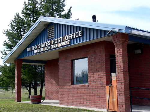
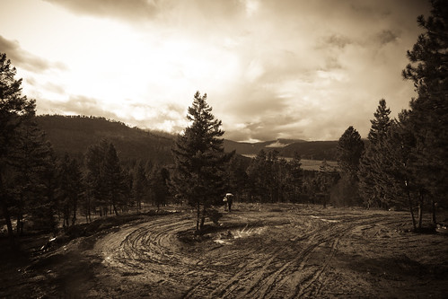
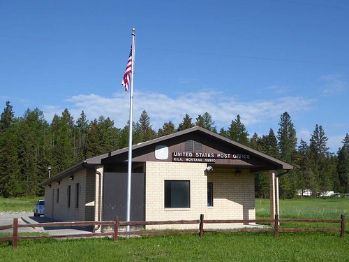
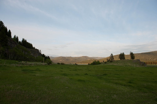
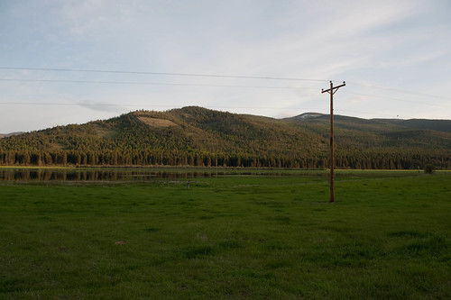
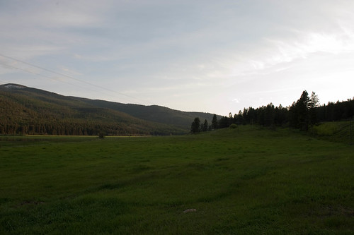
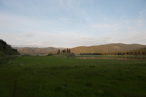
Elevation of Browns Meadow Rd, Kila, MT, USA
Location: United States > Montana > Kila >
Longitude: -114.50022
Latitude: 48.0693249
Elevation: 1018m / 3340feet
Barometric Pressure: 90KPa
Related Photos:
Topographic Map of Browns Meadow Rd, Kila, MT, USA
Find elevation by address:

Places near Browns Meadow Rd, Kila, MT, USA:
2433 White Tail Ridge
2917 White Tail Ridge
2917 White Tail Ridge
630 Browns Meadow Rd
925 Truman Ridge Rd
Kila
675 Hoffman Draw
355 Hoffman Draw
130 Elk Ranch Rd
1660 Coon Hollow Rd
750 Spring Hill Rd
2135 Haywire Gulch
1716 Ashley Lake Trail
607 Copper Rd
Batavia
Blacktail Mountain
1044 Copper Rd
1186 Homesteaders Way
Lake Mary Ronan
Pleasant Valley Rd, Marion, MT, USA
Recent Searches:
- Elevation of Corso Fratelli Cairoli, 35, Macerata MC, Italy
- Elevation of Tallevast Rd, Sarasota, FL, USA
- Elevation of 4th St E, Sonoma, CA, USA
- Elevation of Black Hollow Rd, Pennsdale, PA, USA
- Elevation of Oakland Ave, Williamsport, PA, USA
- Elevation of Pedrógão Grande, Portugal
- Elevation of Klee Dr, Martinsburg, WV, USA
- Elevation of Via Roma, Pieranica CR, Italy
- Elevation of Tavkvetili Mountain, Georgia
- Elevation of Hartfords Bluff Cir, Mt Pleasant, SC, USA
