Elevation of Brown County, TX, USA
Location: United States > Texas >
Longitude: -98.924534
Latitude: 31.7705105
Elevation: 442m / 1450feet
Barometric Pressure: 96KPa
Elevation Map:
Satellite Map:
Related Photos:

International Harvester

What happens in Brownwood...
"No Negros Allowed"

Cooking School

Come into my Office...

The Hawk

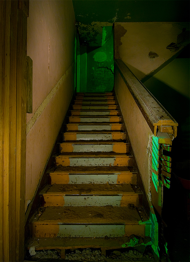
Out of the Shadows
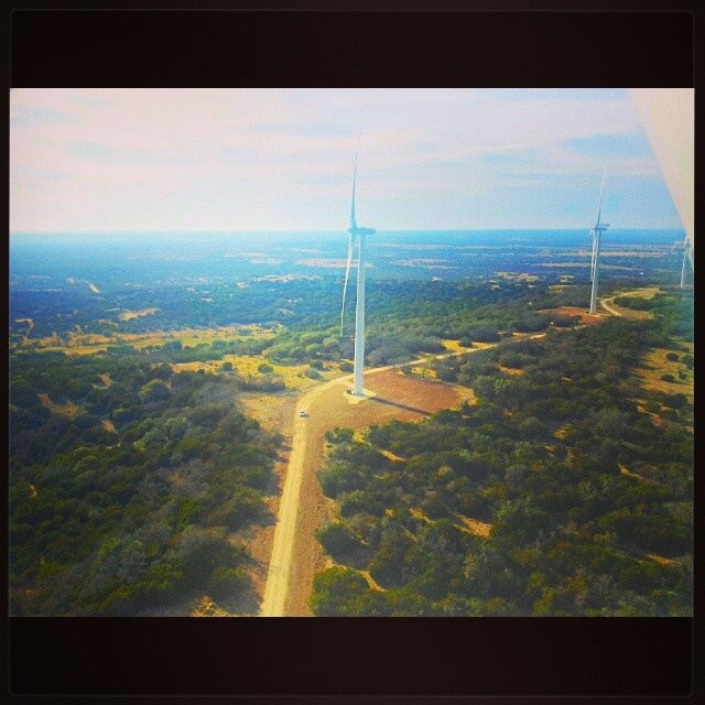
A great view on a long day.

The Hardin School
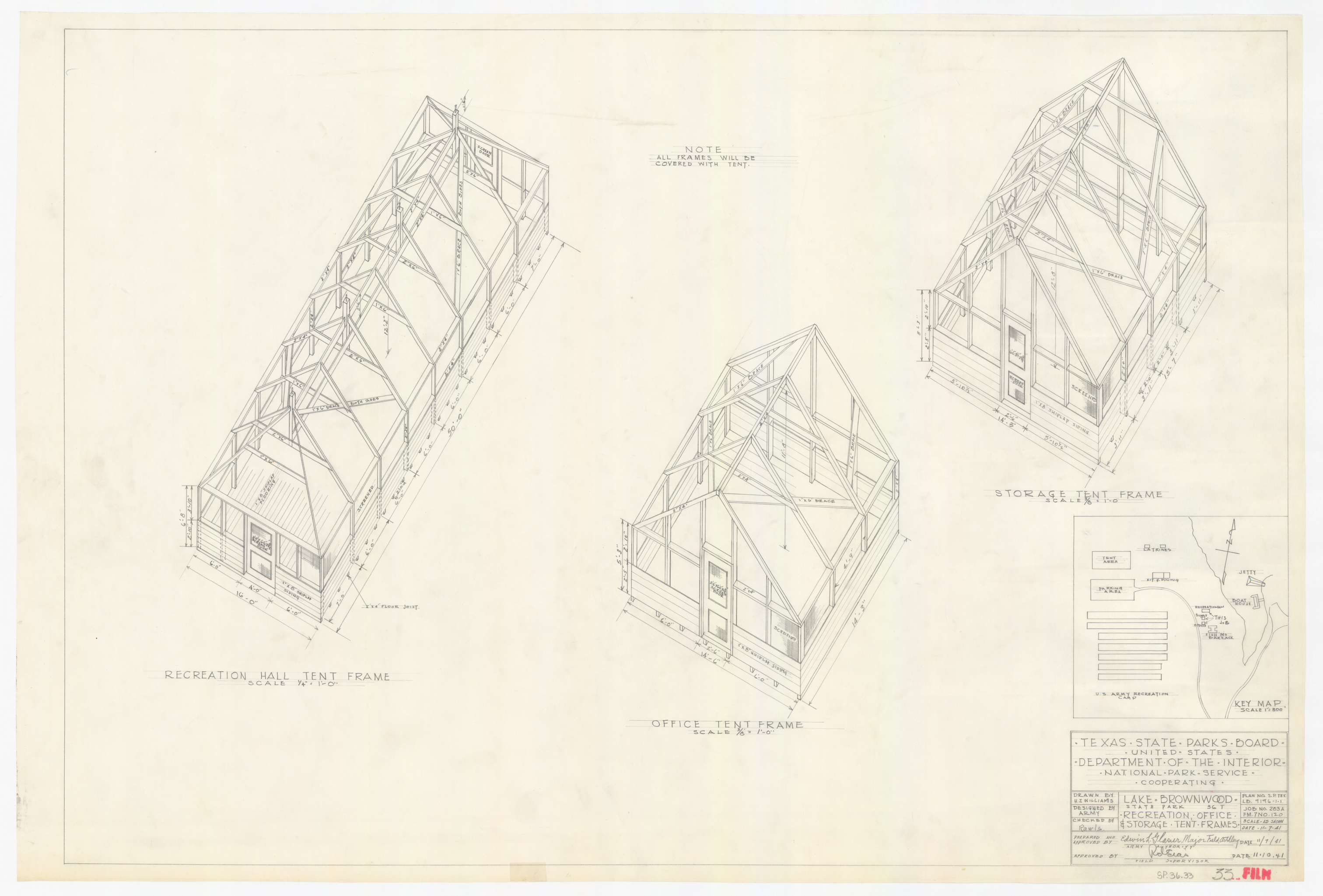
Lake Brownwood State Park SP.36.33

Rear View of the General Douglas MacArthur Academy of Freedom

Lake Brownwood State Park SP.36.174
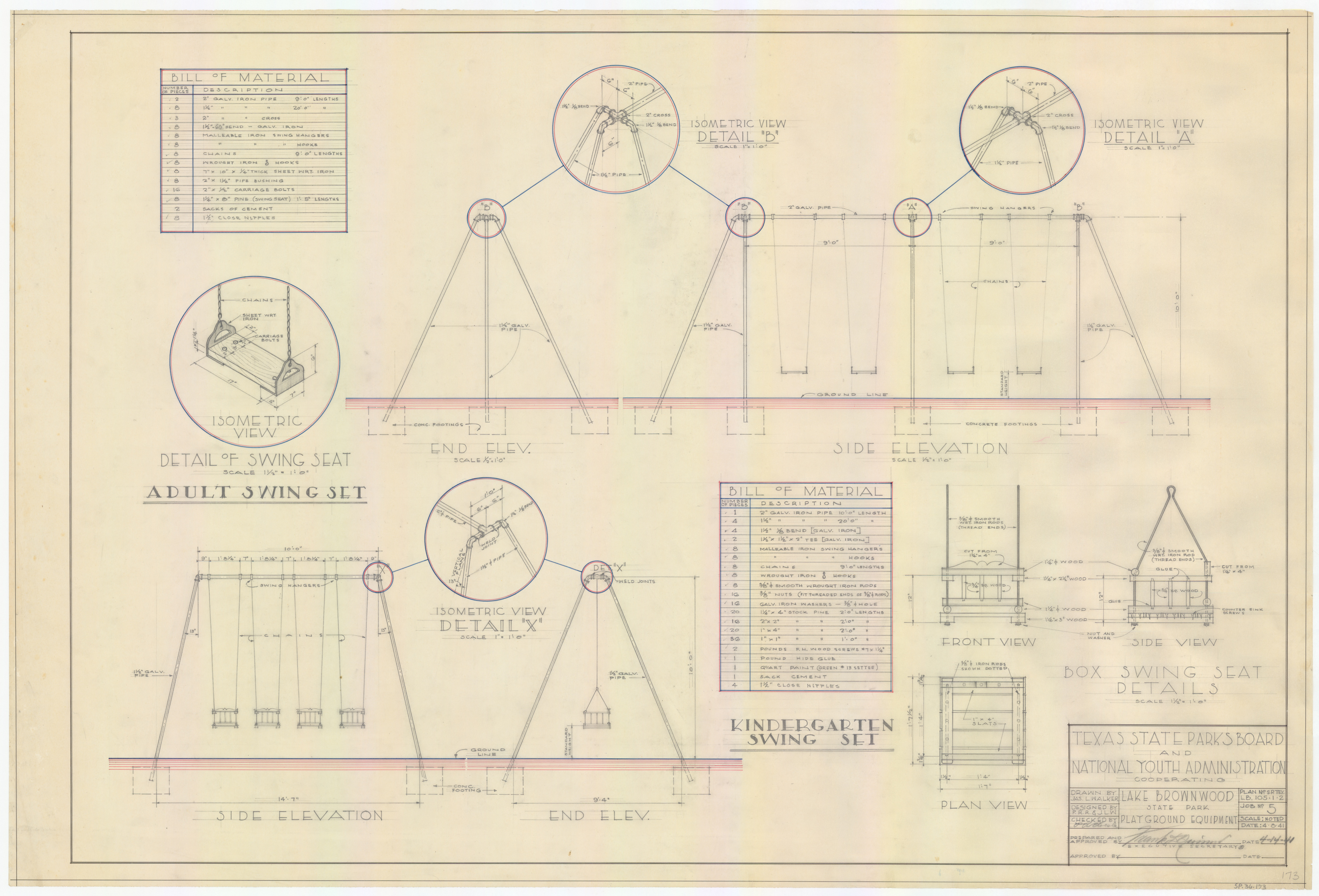
Lake Brownwood State Park SP.36.173
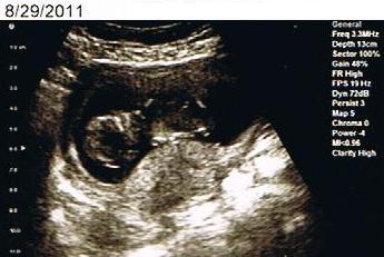
14wk Peanut

Texas Sky

Lake Brownwood 1, Texas - 2007

Blue Bonnets

Lake Brownwood 2, Texas - 2007

Stampede in Early, Tx.
Topographic Map of Brown County, TX, USA
Find elevation by address:

Places in Brown County, TX, USA:
Brownwood
May
Brookesmith
Early
Cr, Cross Plains, TX, USA
Co Rd, Zephyr, TX, USA
Zephyr
Bangs
Blanket
Places near Brown County, TX, USA:
Early
Temple Ave, Brownwood, TX, USA
501 4th St
Brownwood
2501 4th St
Waterfront Rd, Brownwood, TX, USA
68 Mccartney Is, May, TX, USA
139 S Lakes Dr
Blanket
Zephyr
4440 Tx-279
2370 Brook Valley Dr
Brookhollow Dr, Brownwood, TX, USA
2080 Woodwind Dr
14 Co Rd 192
700 Farm To Market 590
County Road, Early, TX, USA
May
Co Rd, Zephyr, TX, USA
Bangs
Recent Searches:
- Elevation of Corso Fratelli Cairoli, 35, Macerata MC, Italy
- Elevation of Tallevast Rd, Sarasota, FL, USA
- Elevation of 4th St E, Sonoma, CA, USA
- Elevation of Black Hollow Rd, Pennsdale, PA, USA
- Elevation of Oakland Ave, Williamsport, PA, USA
- Elevation of Pedrógão Grande, Portugal
- Elevation of Klee Dr, Martinsburg, WV, USA
- Elevation of Via Roma, Pieranica CR, Italy
- Elevation of Tavkvetili Mountain, Georgia
- Elevation of Hartfords Bluff Cir, Mt Pleasant, SC, USA