Elevation of Brousseau Mountain, Norton, VT, USA
Location: United States > Vermont > Essex County > Norton >
Longitude: -71.740371
Latitude: 44.96838
Elevation: 818m / 2684feet
Barometric Pressure: 92KPa
Elevation Map:
Satellite Map:
Related Photos:
Ode to Joy

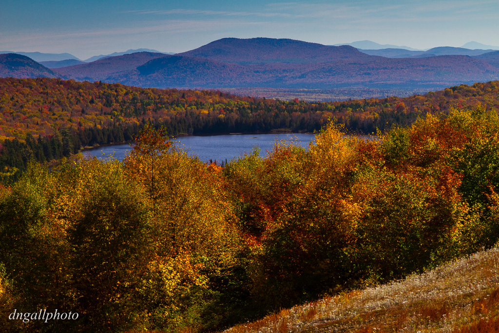
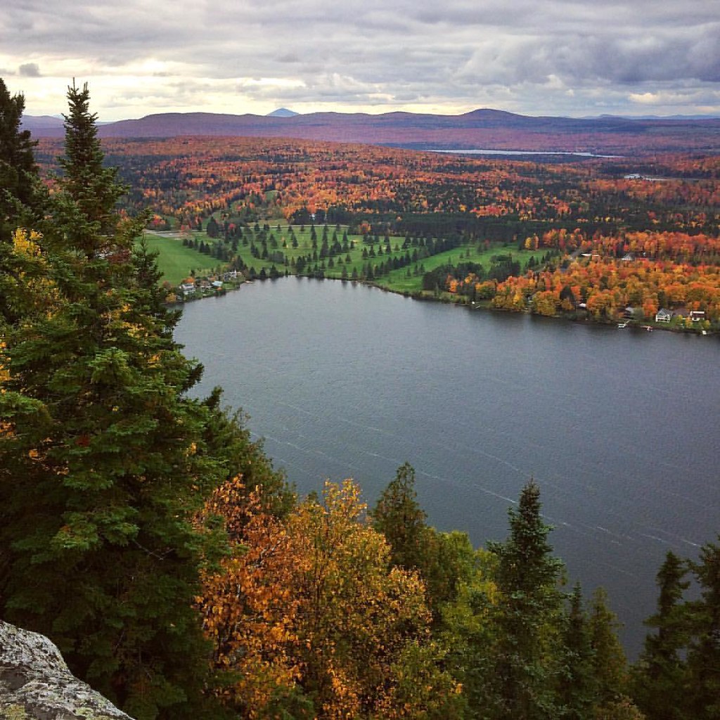
Northeast Kingdom
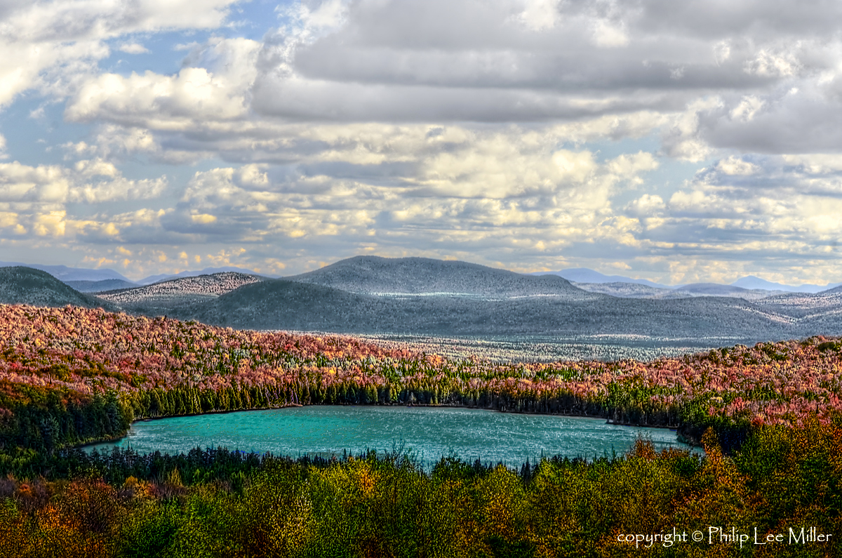
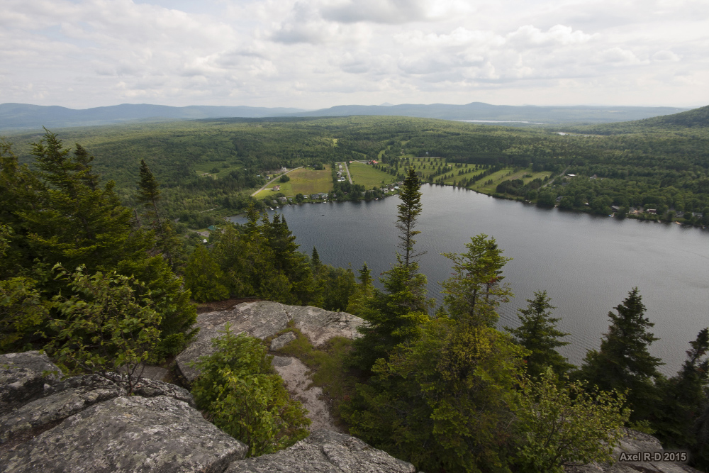
View to the Mountains
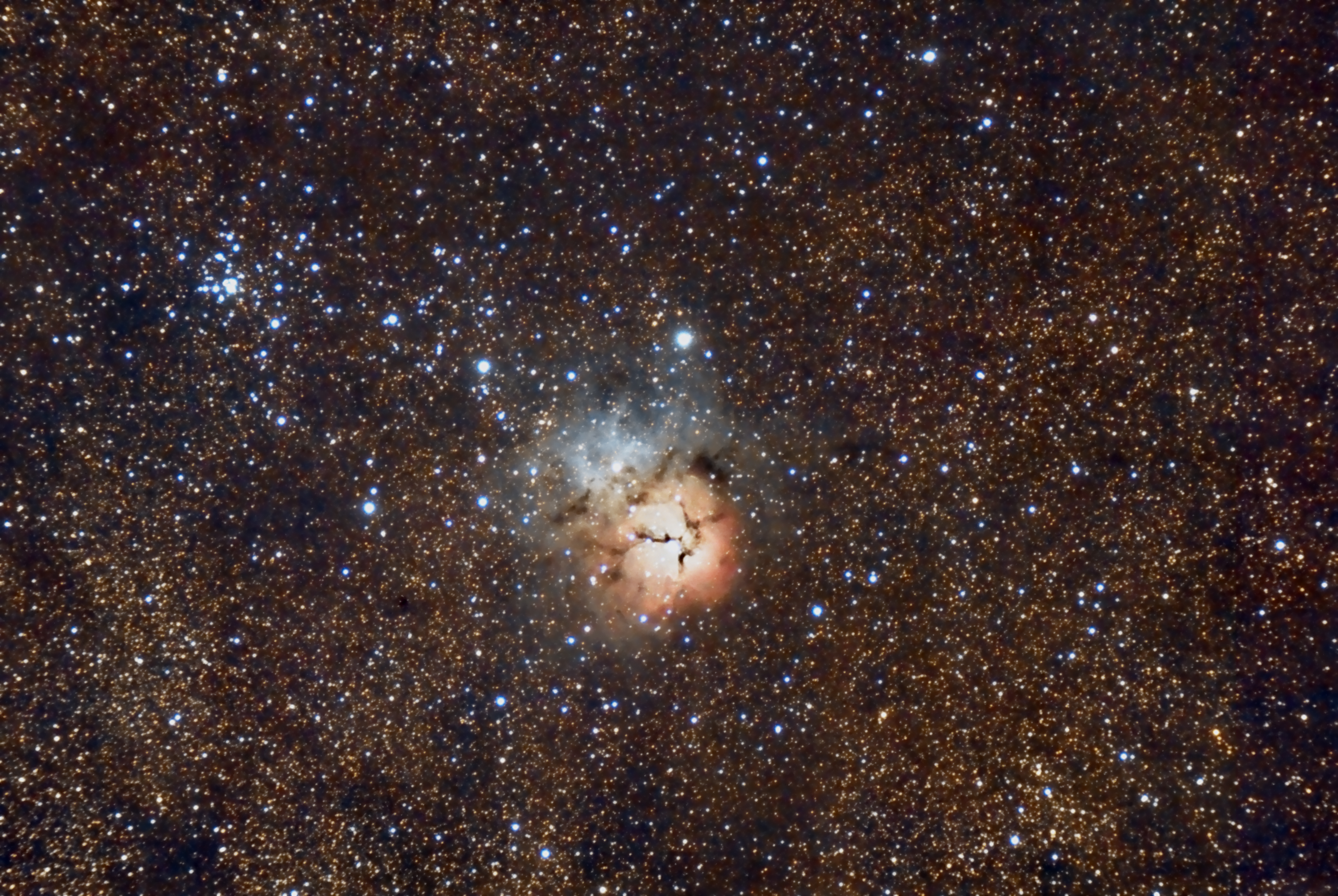
M20 Triffid Nebula

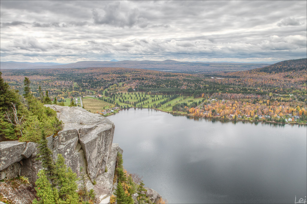
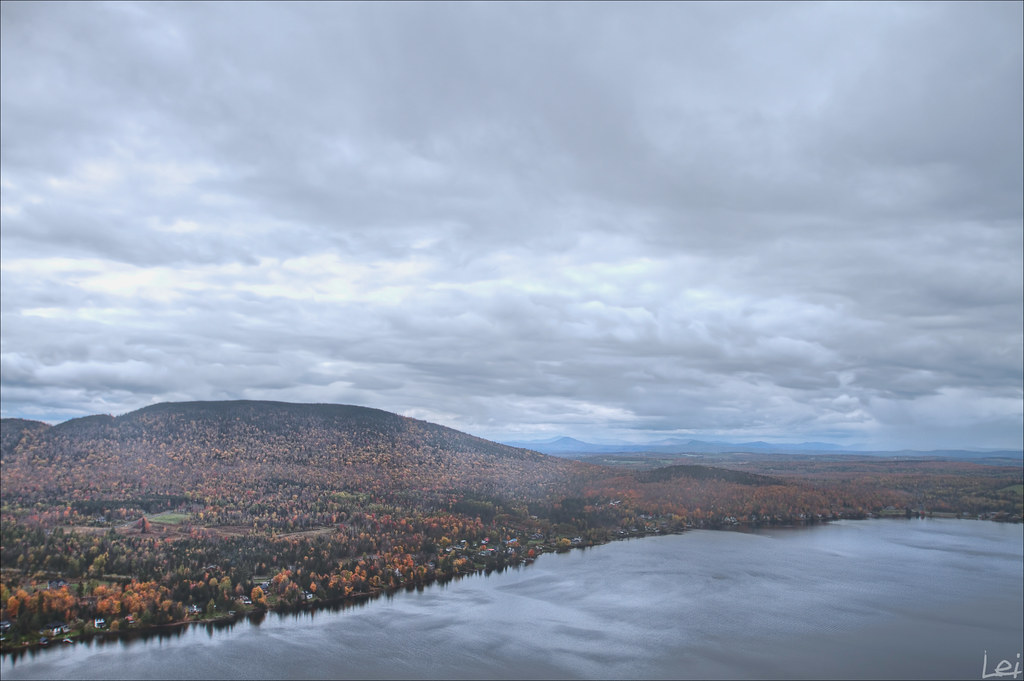
Lewis Pond in the Clouds
"mont pinacle"
"untitled #40"
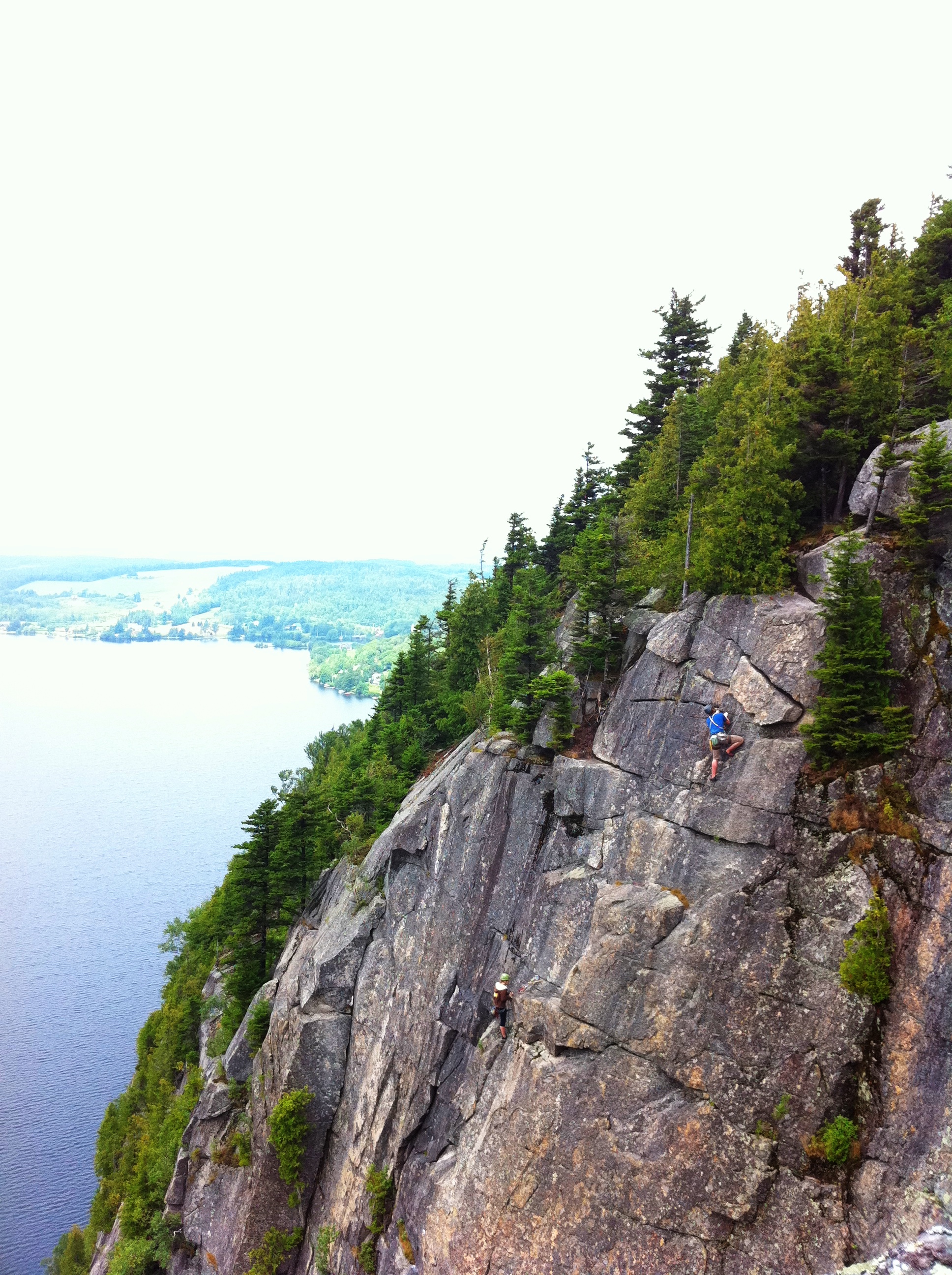
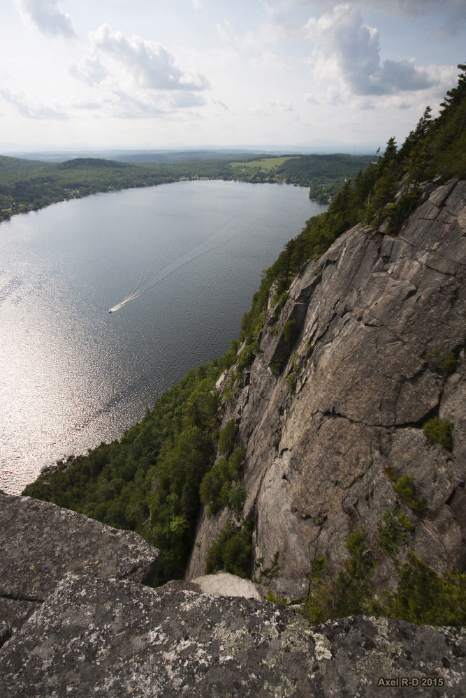
Climbers 2
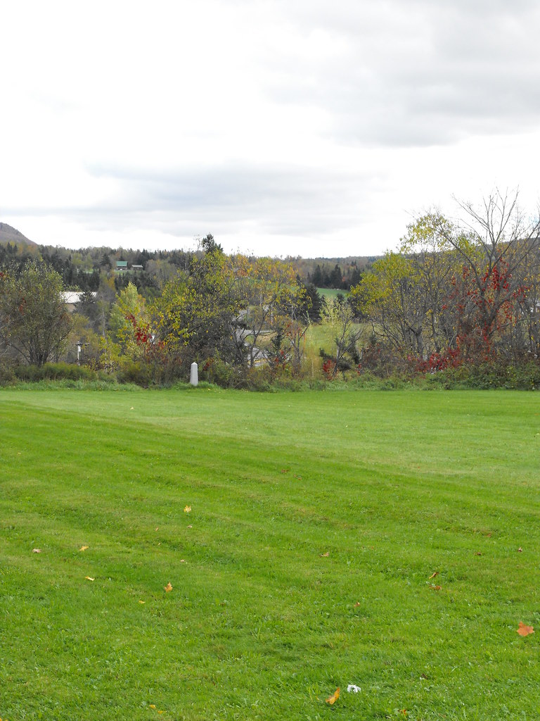
US-Canada Border at Stanhope
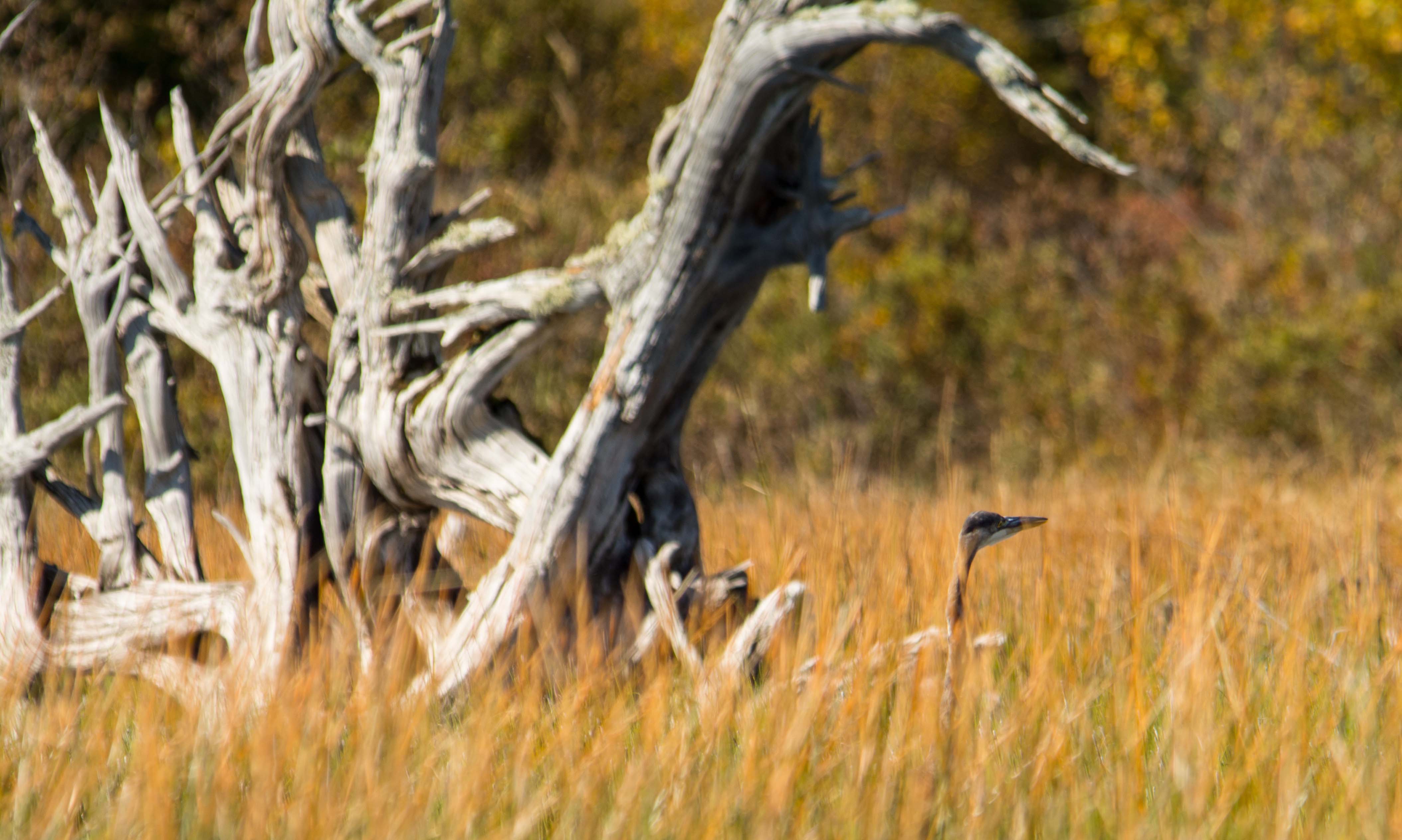
Blue Heron in the tall grass at Little Averill Pond
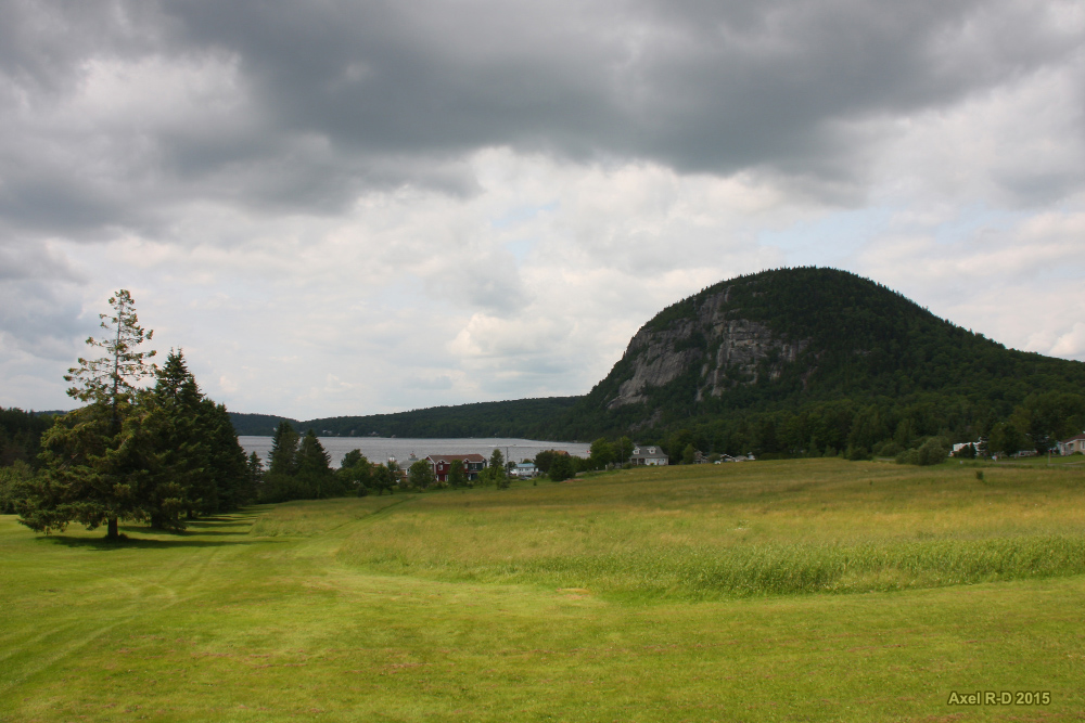
Mont Pinacle - Estrie
Lac Lyster
Mont Pinacle - Estrie
Mont Pinacle - Estrie
Topographic Map of Brousseau Mountain, Norton, VT, USA
Find elevation by address:

Places near Brousseau Mountain, Norton, VT, USA:
234 Gaudette Rd
Lewis
Avery's
Brighton
Essex County
22 S Shore Rd
Island Pond
346 White Hill Loop
2009 Vt-111
523 Toad Pond Rd
601 E Haven Rd
Morgan
S America Camp Trail, Island Pond, VT, USA
1920 Mead Hill Rd
668 Newark Rd
East Charleston
306 Old County Rd
Center Pond Road
1991 Center Pond Rd
4260 Vt-105
Recent Searches:
- Elevation of Corso Fratelli Cairoli, 35, Macerata MC, Italy
- Elevation of Tallevast Rd, Sarasota, FL, USA
- Elevation of 4th St E, Sonoma, CA, USA
- Elevation of Black Hollow Rd, Pennsdale, PA, USA
- Elevation of Oakland Ave, Williamsport, PA, USA
- Elevation of Pedrógão Grande, Portugal
- Elevation of Klee Dr, Martinsburg, WV, USA
- Elevation of Via Roma, Pieranica CR, Italy
- Elevation of Tavkvetili Mountain, Georgia
- Elevation of Hartfords Bluff Cir, Mt Pleasant, SC, USA