Elevation of Brouseville Rd, Cardinal, ON K0E 1E0, Canada

Location: Canada > Ontario > Leeds And Grenville United Counties > Edwardsburgh/cardinal > Cardinal >

Longitude: -75.421920

Latitude: 44.8307571

Elevation: 81m / 266feet

Barometric Pressure: 100KPa

Elevation Map:

elevation map of Brouseville Rd, Cardinal, ON K0E 1E0, Canada

Satellite Map:

Satellite map of Brouseville Rd, Cardinal, ON K0E 1E0, Canada

Related Photos:

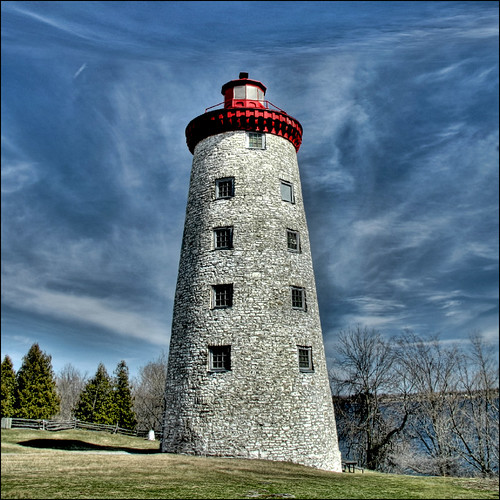
blue sky lighthouse stone soe hdr 3shot 1838 photomatix digitalcameraclub prescottontario battleofthewindmill theunforgettablepictures viamoi 100commentgroup canadiannationalhistoricpoint
~ Battle of the Windmill ~
dragonfly spencerville bluedasher canoneos7d canonefs18135mmf3556is
Blue Dasher - Spencerville
dragonfly spencerville bluedasher canoneos7d canonefs18135mmf3556is
Blue Dasher
macro damselfly spencerville canonefs60mmf28macro canoneos7d
Damselfly Spencerville
macro dragonfly spencerville bluedasher canonefs60mmf28macro canoneos7d
Blue Dasher - Spencerville
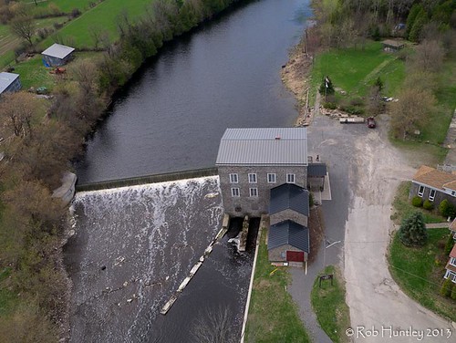
kite ontario canada heritage mill river photography town photo stream photographie village aerialview aerial farmland photograph kap aerialphotography kiteaerialphotography spencerville gristmill aérienne aerialphotograph huntley aerienne kiteaerialphotograph photographieaérienne photographieaerienne robhuntley nationriver kapweekend southnationriver spencervillemill wwkap2013 heritagegristmill robhuntleyphotography
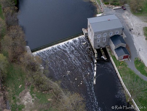
Aerial photograph. Spencerville Mill. A heritage gristmill on the South Nation River in Spencerville, Ontario. - Kite Aerial Photography (KAP)
sunset bravo canondigitalrebelxt ogdensburg
Part 6
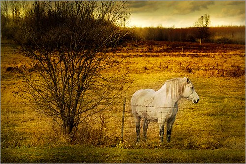
sky horse white tree field yellow fence one pasture whitehorse stevestevesteve colorphotoaward
smALLfencE... HUGehorSE
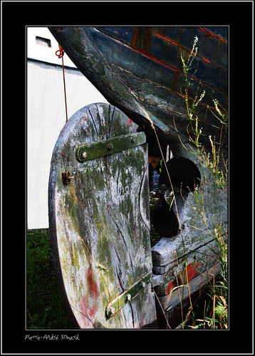
photos © beauté abandon belle blanc bonheur joie safran ateliers photographe jeune photographes expositions gouvernail digifoto chantiernaval étambot nikond300 lavidaenfotografia photoquebec pierreandrésimard gatineauaylmerqc remisage voiliersdebois eaulacrivièrefleuvemerocéan vieuxetagonisant simpa©
Étambot ...
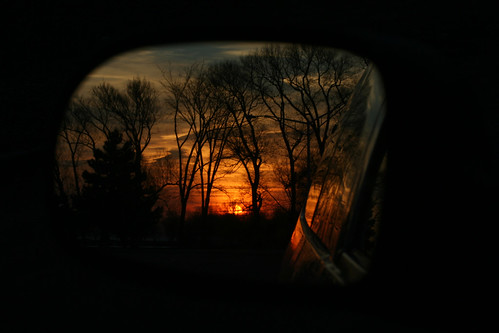
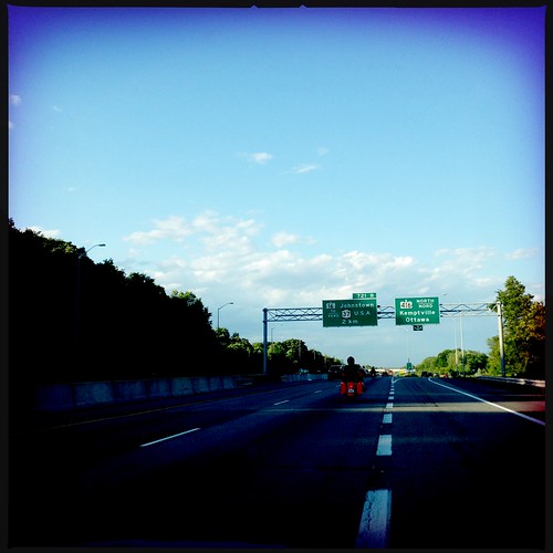
noflash dcfilm hipstamatic wattslens
View through the windshield
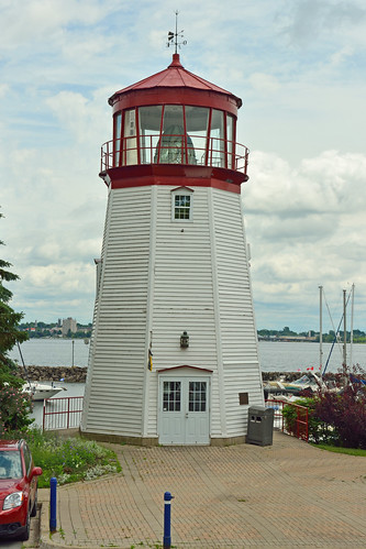
ocean light sea lighthouse ontario beach saint st lawrence lighthouses great lakes greatlakes shore stlawrence lakeontario prescott oncanada
Prescott Lighthouse, ON
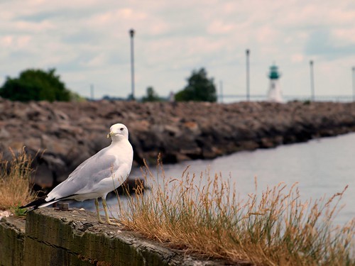
sea ontario canada bird saint st river lawrence seagull gull prescott
Seagull Stare Down
noflash hipstamatic blankofilm melodielens
View through the windshield
kite ontario canada heritage mill river photography town photo stream photographie village aerialview aerial farmland photograph kap aerialphotography kiteaerialphotography spencerville gristmill aérienne aerialphotograph huntley aerienne kiteaerialphotograph photographieaérienne photographieaerienne robhuntley nationriver kapweekend southnationriver spencervillemill wwkap2013 heritagegristmill robhuntleyphotography
Aerial photograph. Spencerville Mill. A heritage gristmill on the South Nation River in Spencerville, Ontario. - Kite Aerial Photography (KAP)
light canada blur macro art abandoned glass beautiful animal contrast solitude alone bokeh spirit ghost spooky blake gaze speedlight goldenhour aperature bohek wirelesstrigger nikond80 cactusv4 fotocompetition fotocompetitionbronze blakeeveleigh
Lights Out
light lighthouse house ontario canada mill windmill saint st river lawrence wind battle prescott 1838
Lookin' Down Shore
selfportrait efs18135mmf3556is
Self Portrait in St Lawrence Seaway
lighthouse ontario canada windmill partner prescott youtube
Movin' Up
mer eau photos marin © lac rivière beauté abandon belle bonheur joie voilier fleuve photographe jeune océan rencontres photographes expositions digifoto chantiernaval nikond300 lavidaenfotografia photoquebec pierreandrésimard gatineauaylmerqc remisage vieuxetagonisant simpa©
Vieille coque ...
flower efs60mmf28macrousm galopcanal cardinalontario
Canal Flower 236/365
light lighthouse house ontario canada mill windmill wind battle prescott the ogdensburg
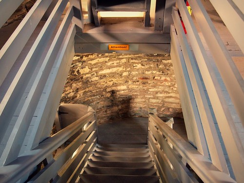
Climbing to the Top
stilllife house ontario colour abandoned landscape farm ideas day92 shanly day92365 3652013 sigmadc1750mmf28exhsm 365the2013edition dandewan 02apr13 glenstewartroad
Abandoned Farm House 92-365
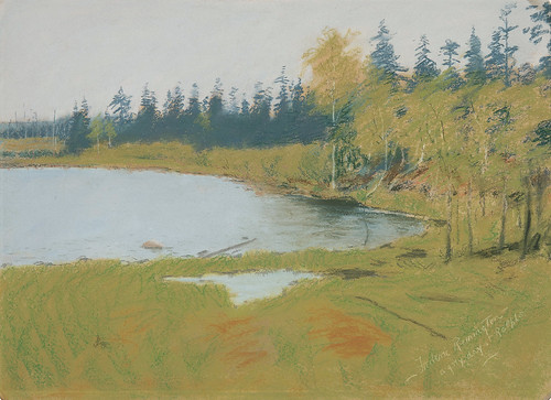
fredericremington
A Grey Day at Ralph's
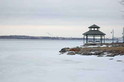
snow ice river landscape outdoors
riverside view
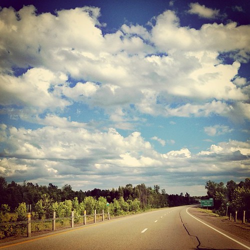
square squareformat earlybird iphoneography instagramapp uploaded:by=instagram foursquare:venue=4c80138a47cc224b7ac96f9f
Bright blue sky...cotton white clouds...back #ontheroad on a beautiful overcast skies
sunset lighthouse ny river march spring sundown dusk stlawrence cananda 2010 ogdensburg
Sunset on St. Lawrence
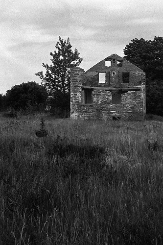
house ontario canada abandoned film stone ruin johnstown ilfordfp4
Stone House Ruins
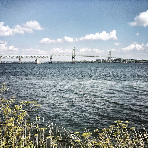
bridge summer ontario canada river day july international 204 stlawrenceriver iphone 204365 iphoneography hipstamatic 3652013 365the2013edition 23jul13 ogdensburg–prescott
365: Day 204
Took this picture with my iPhone
snow ice river landscape outdoors photoshopmanipulation
iced over
landscape prescott achitecture tonemapped springlandscape
Street Scene Prescott
a bit closer
snow ice river landscape outdoors photoshopmanipulation
black and blue
ontario canada saint st river lawrence prescott
St. Lawrence River
landscape summerlandscape
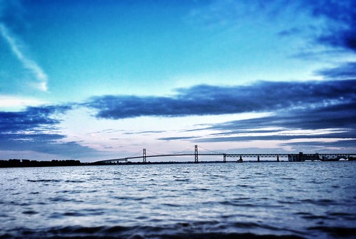
Prescott-Ogdensburgh International Bridge
fredericremington
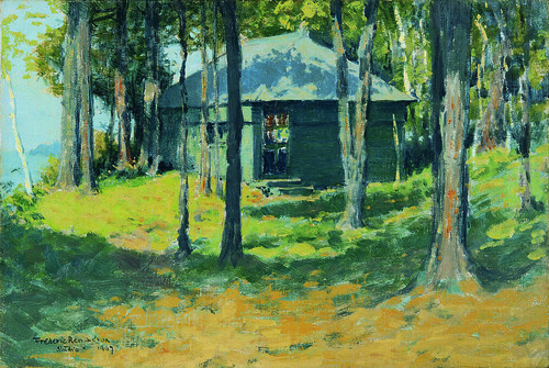
Remington's Studio at Ingleneuk
landscape summerlandscape
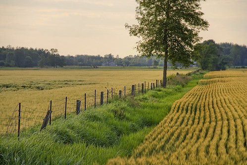
Fields along Haddo Rd.
landscape summerlandscape
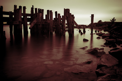
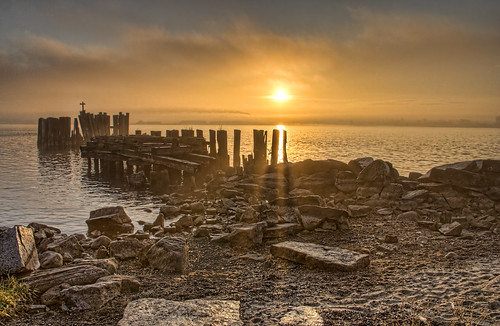
Old Pier
bridge blue sunset camp ontario canada water waves dusk july johnstown stlawrenceriver digitalcameraclub 2013 friendsforlifebikerally visipix ogdensburg–prescottinternationalbridge fflbr15
Day 4: Dusk descends on Day 4
landscape 2007
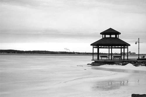
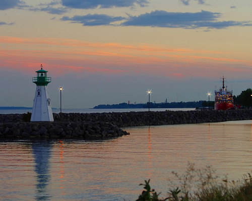
Lighthouse and waterfront in Prescott
landscape falllandscape
Old Pier along the St. Lawrence River at Prescott, Ont.